Category: Arizona

  • El Camino del Diablo

    El Camino del Diablo

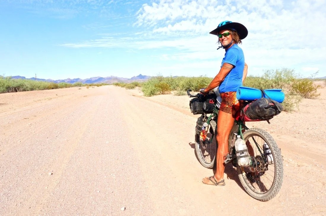
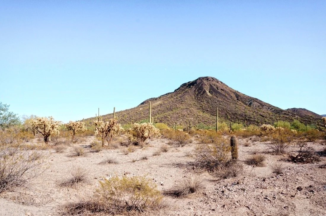
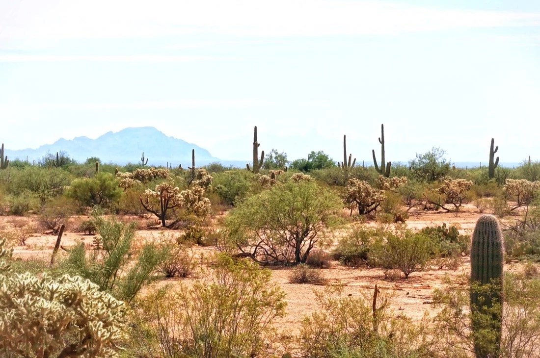
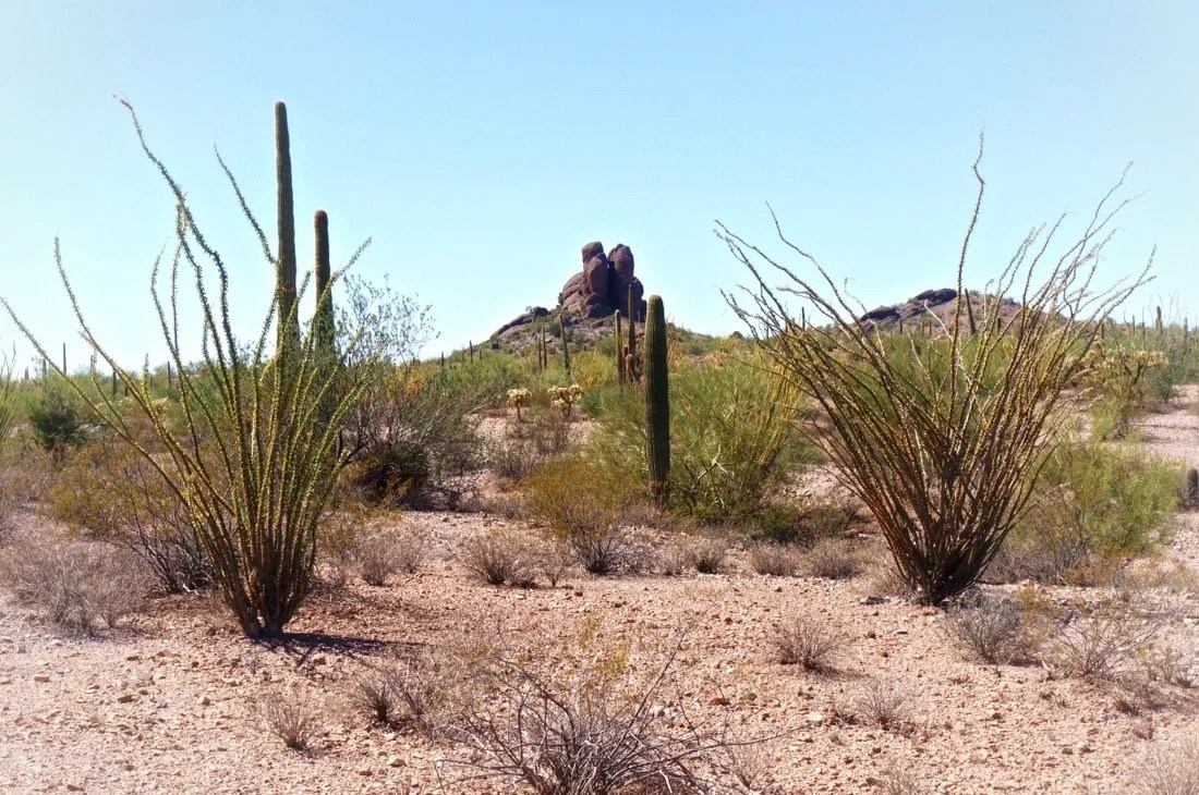
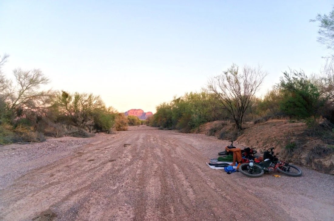
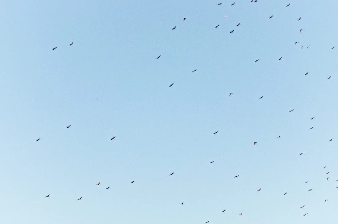
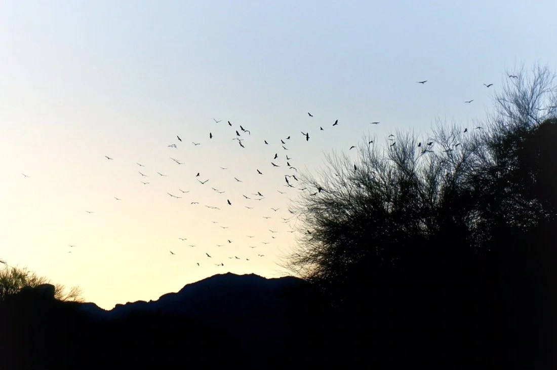
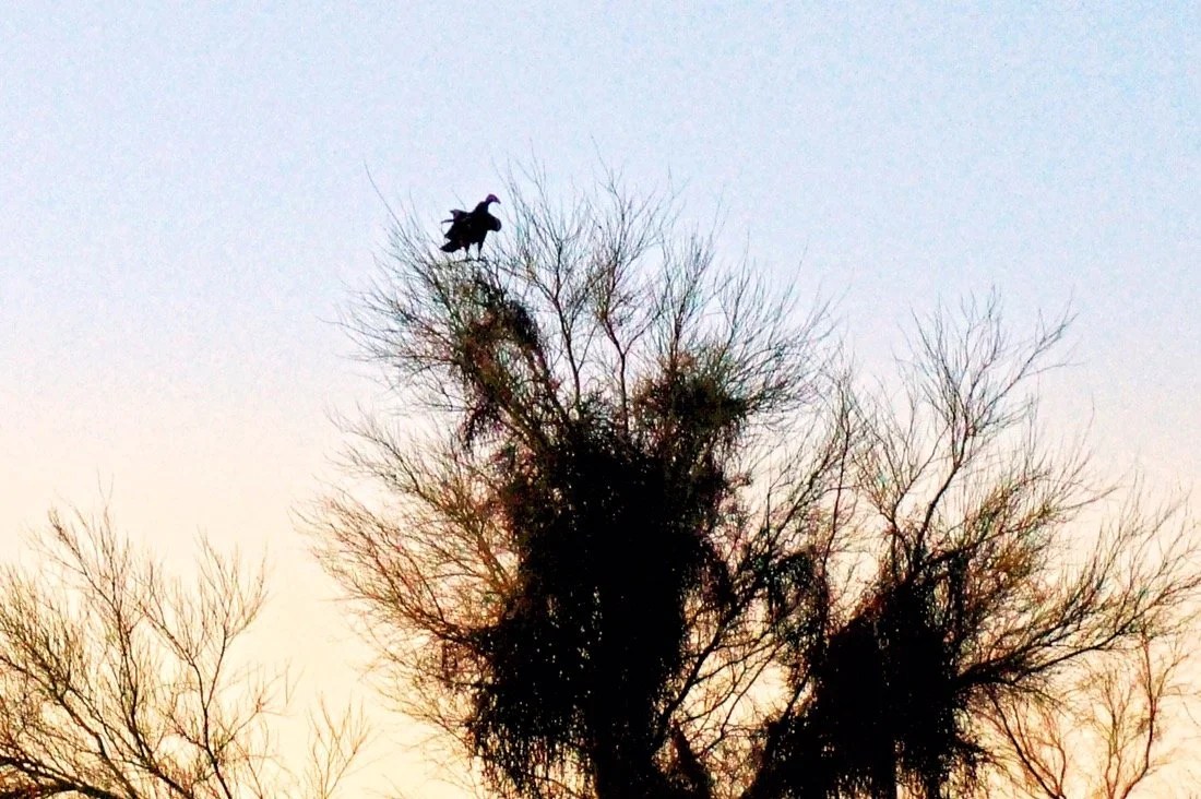
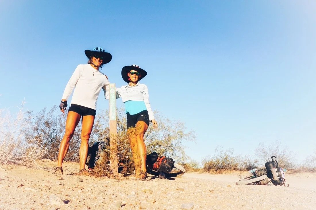
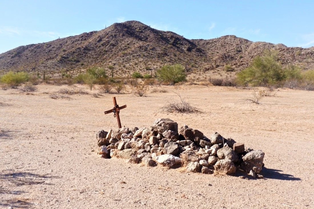
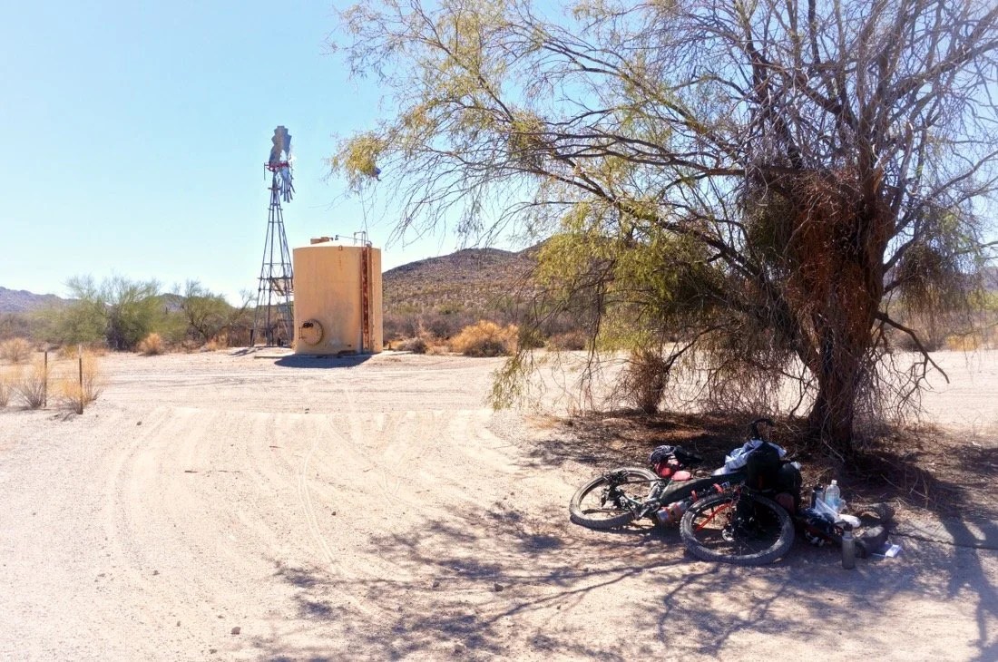
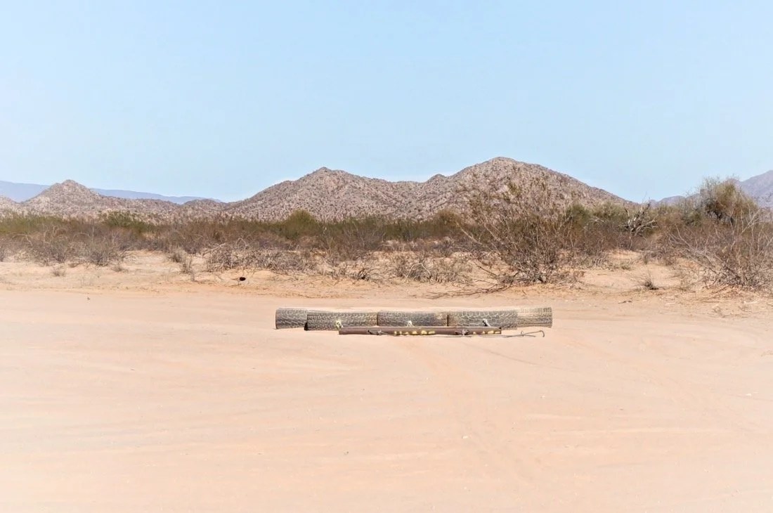
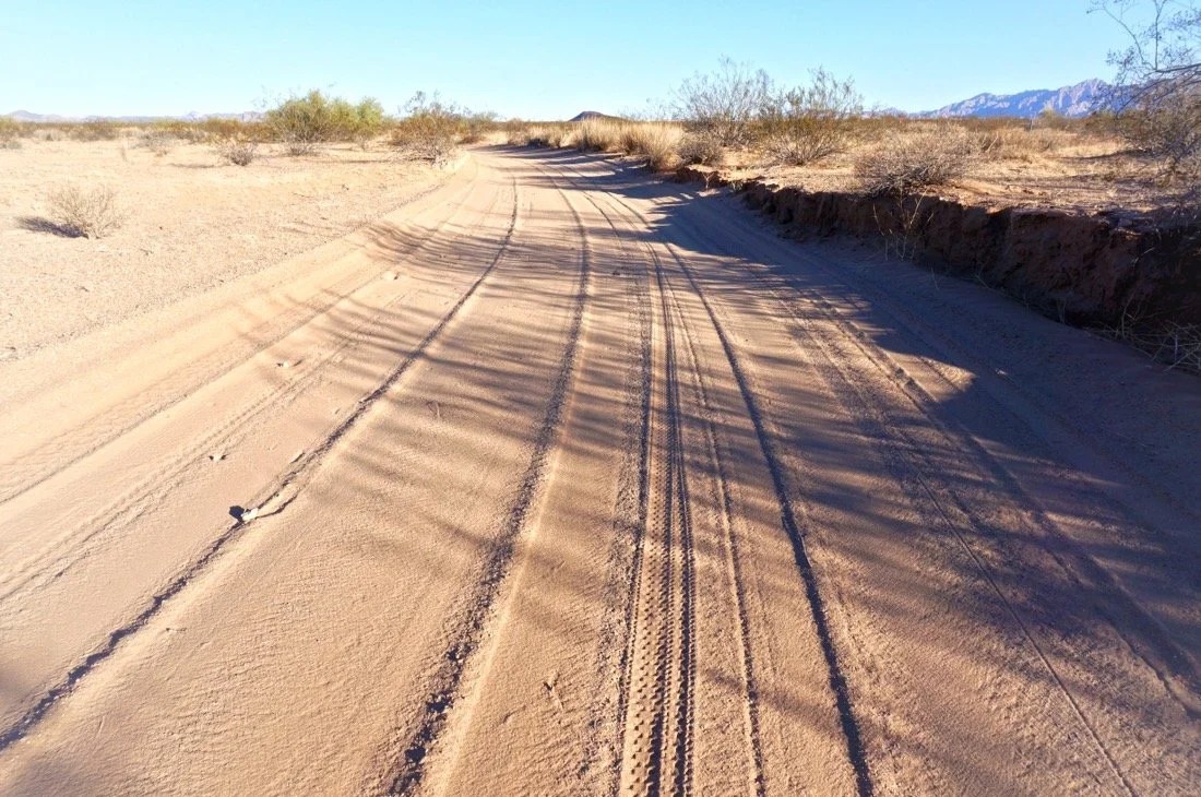
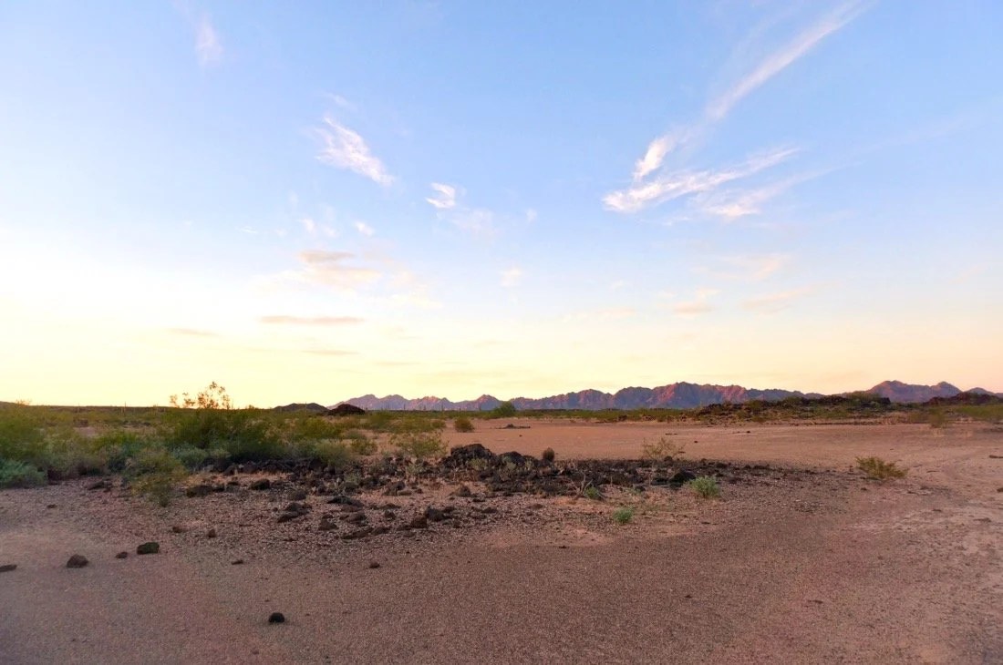
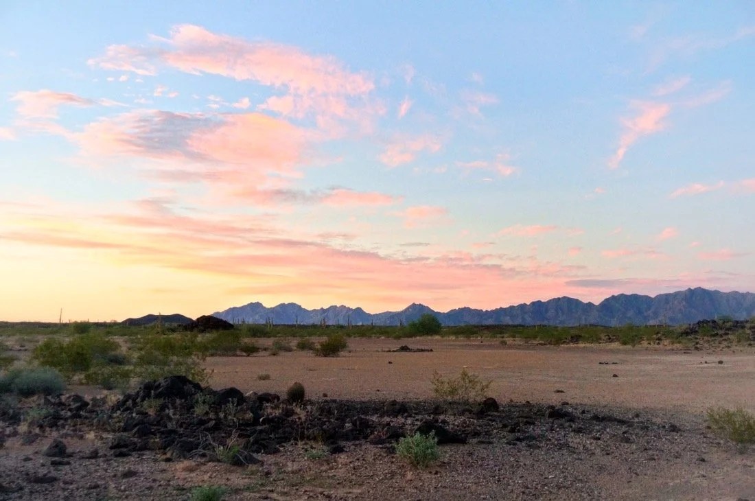
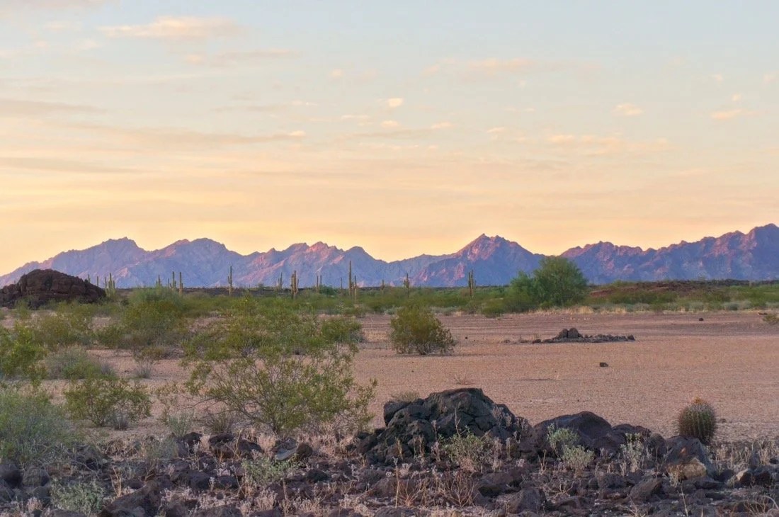
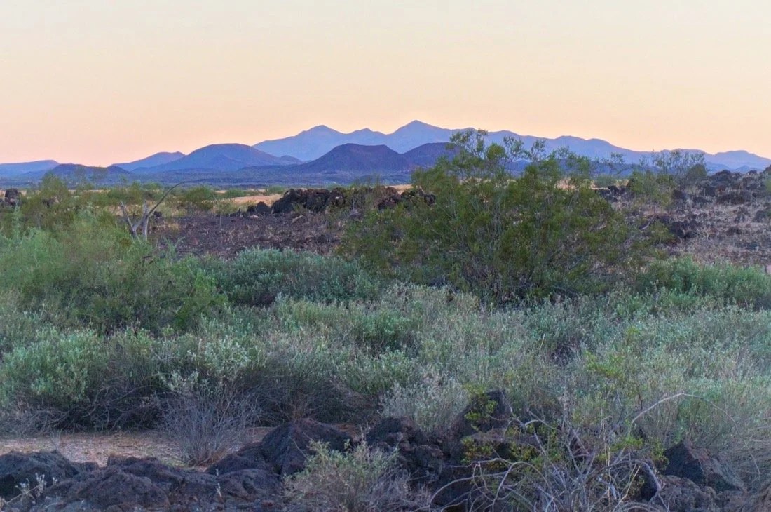
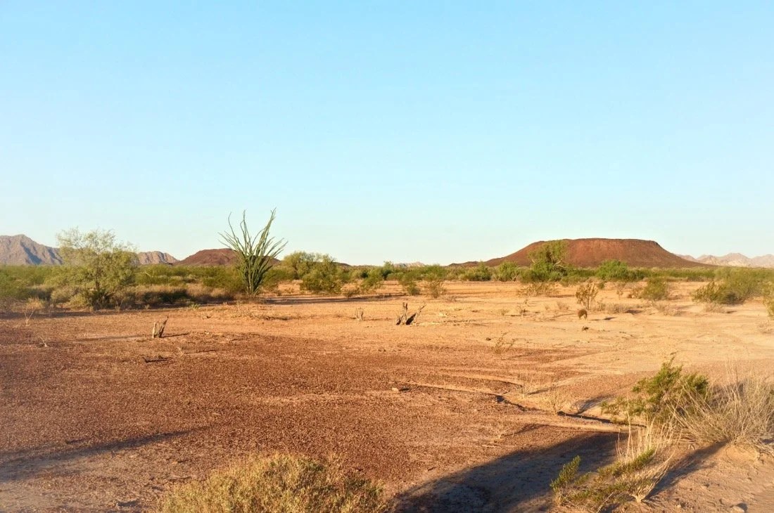
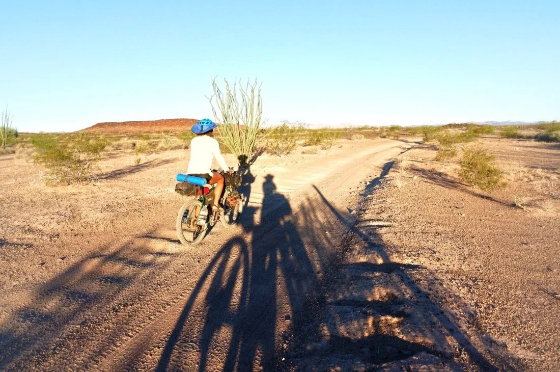
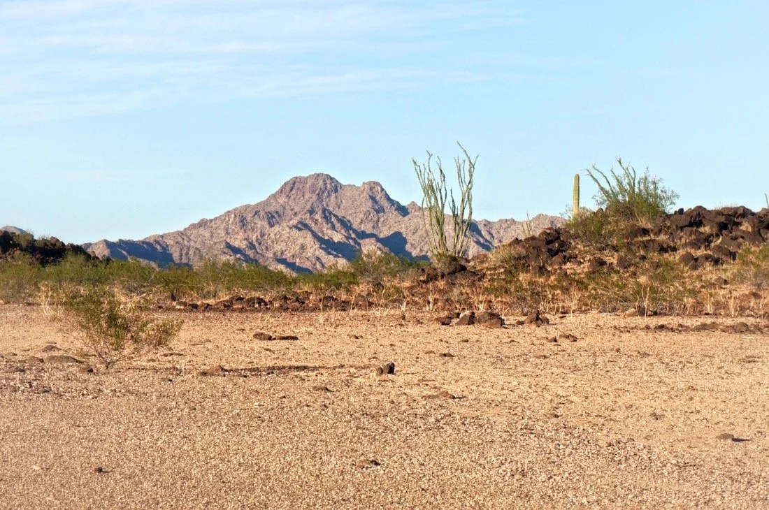
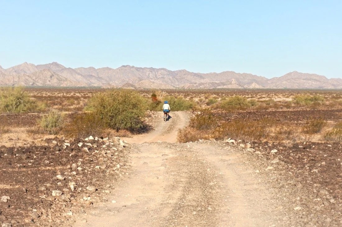
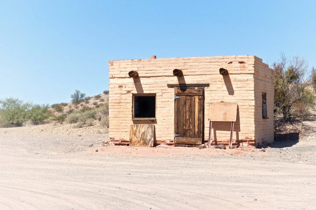
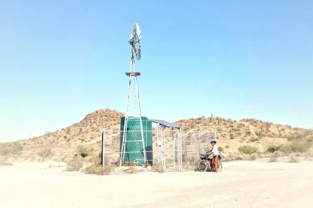
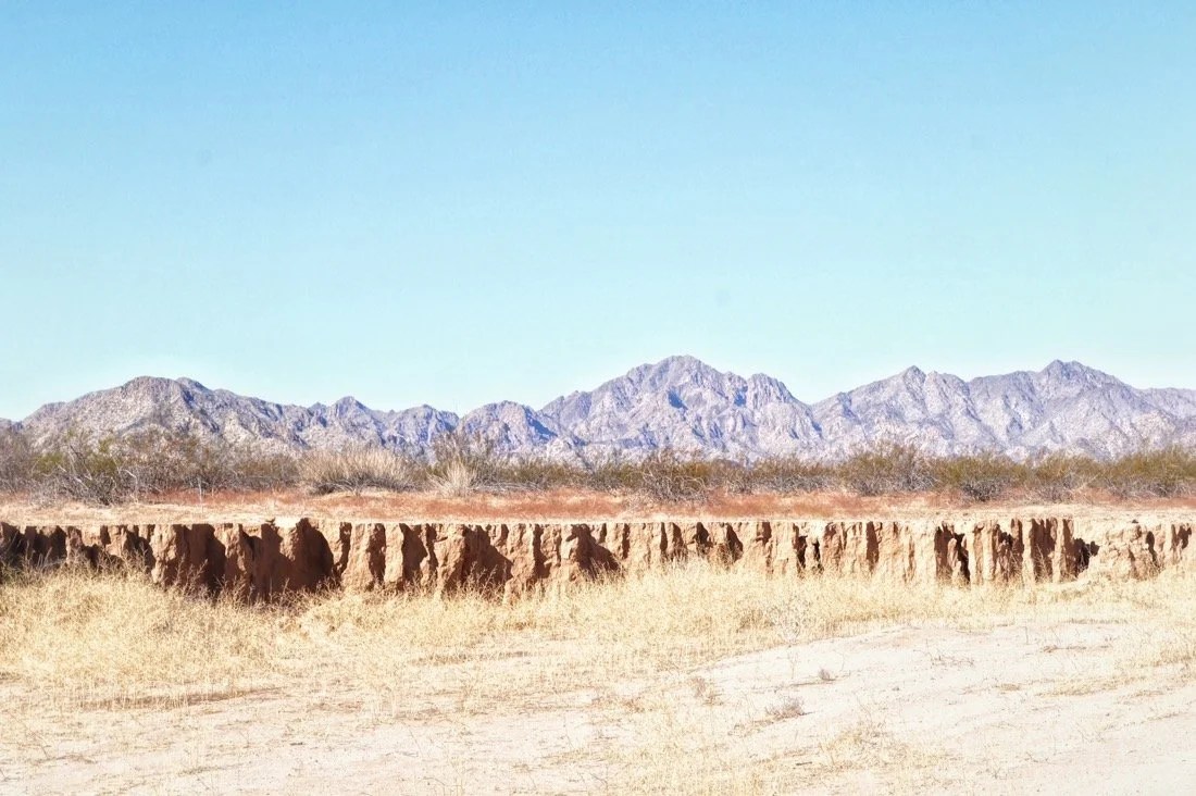
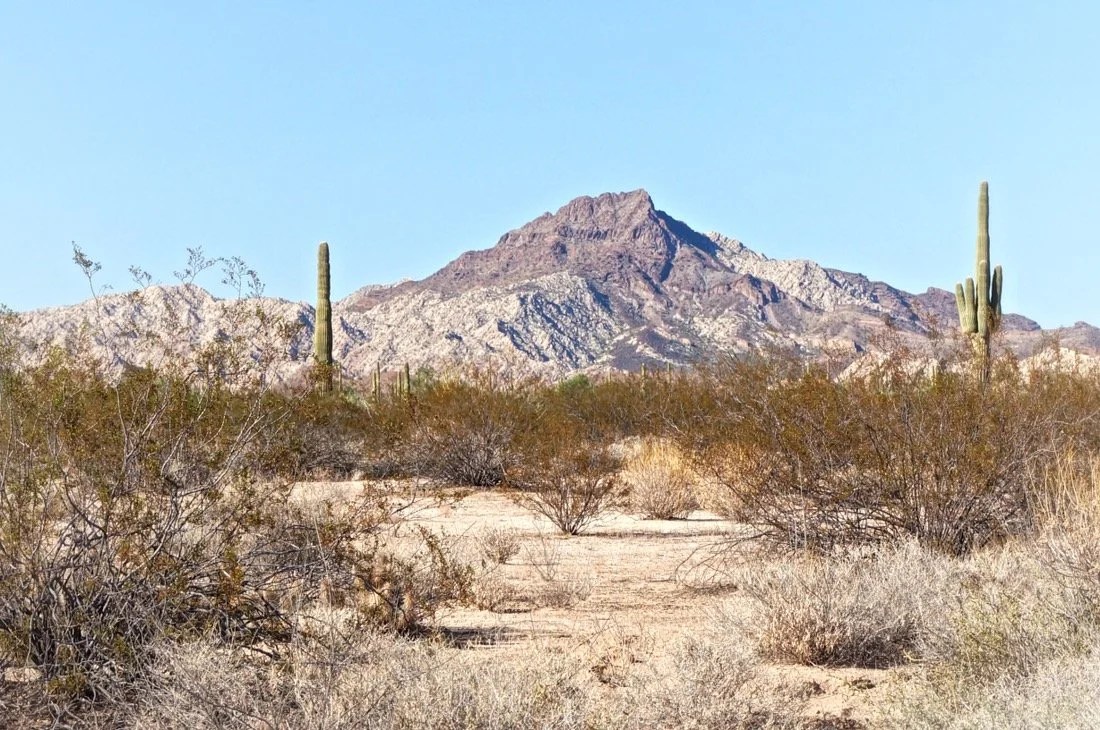
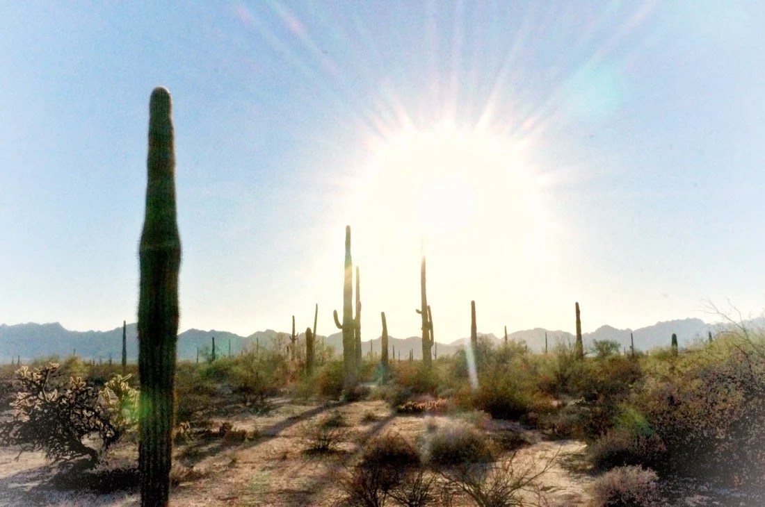
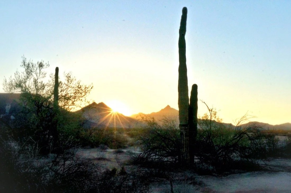
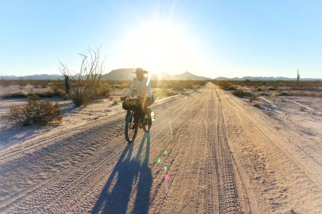
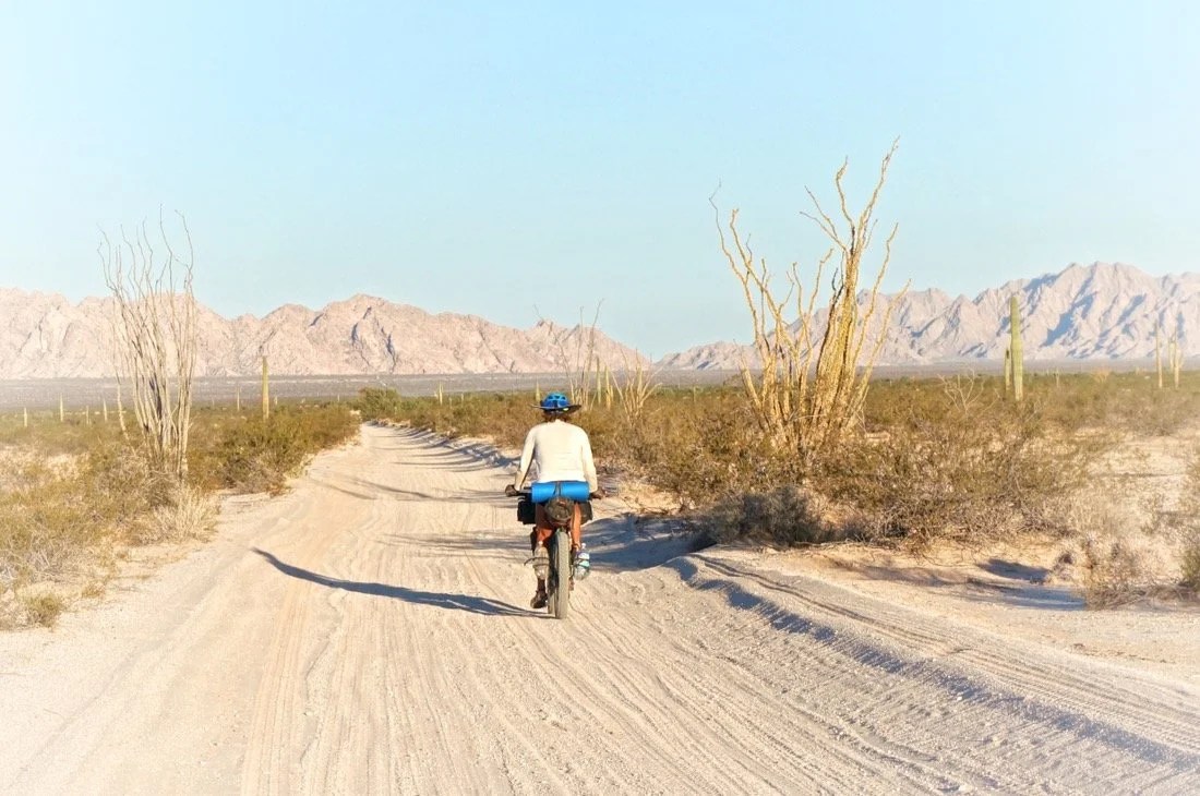
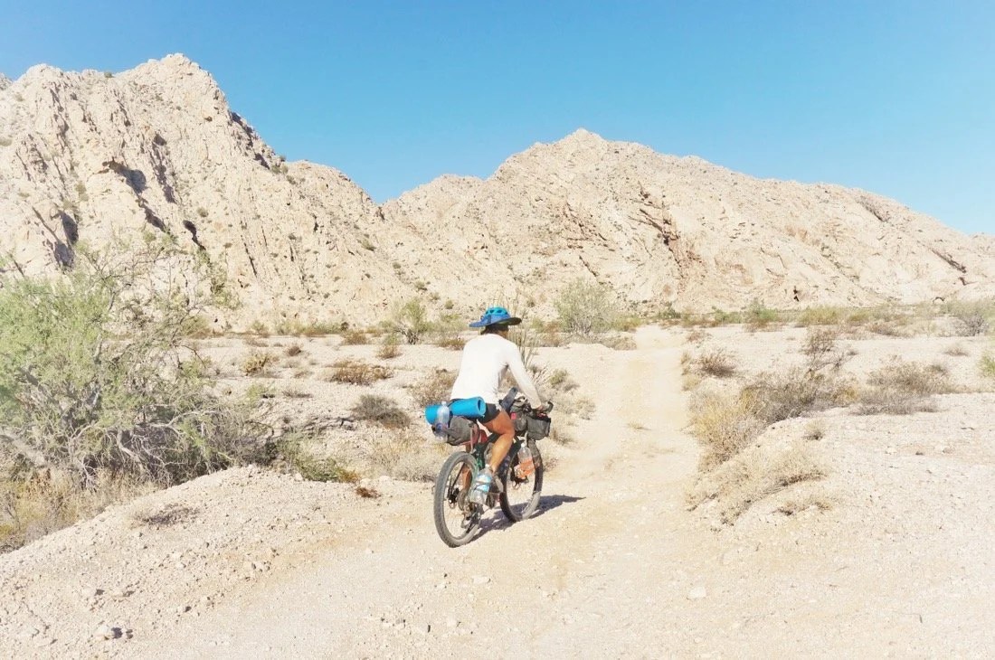
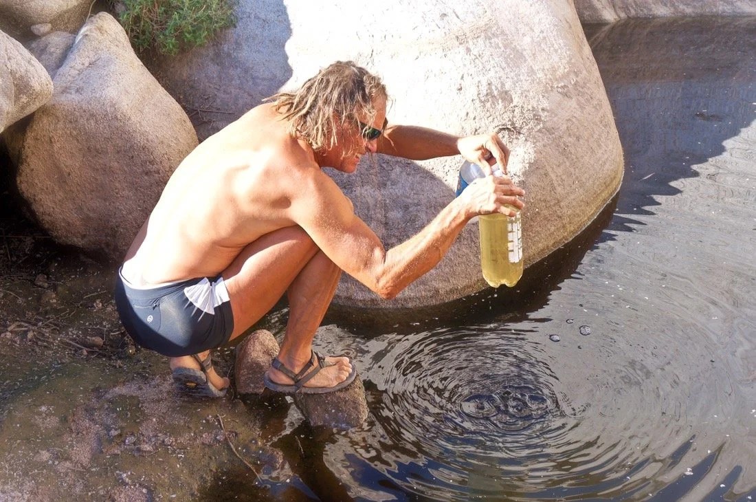
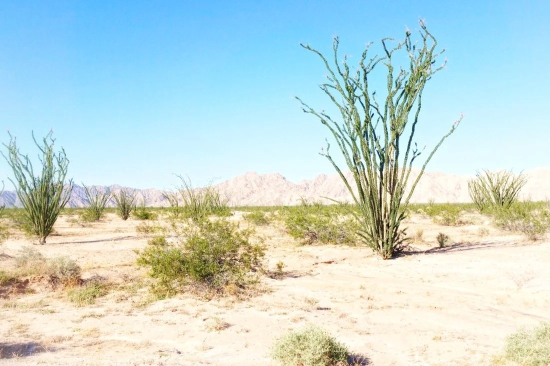
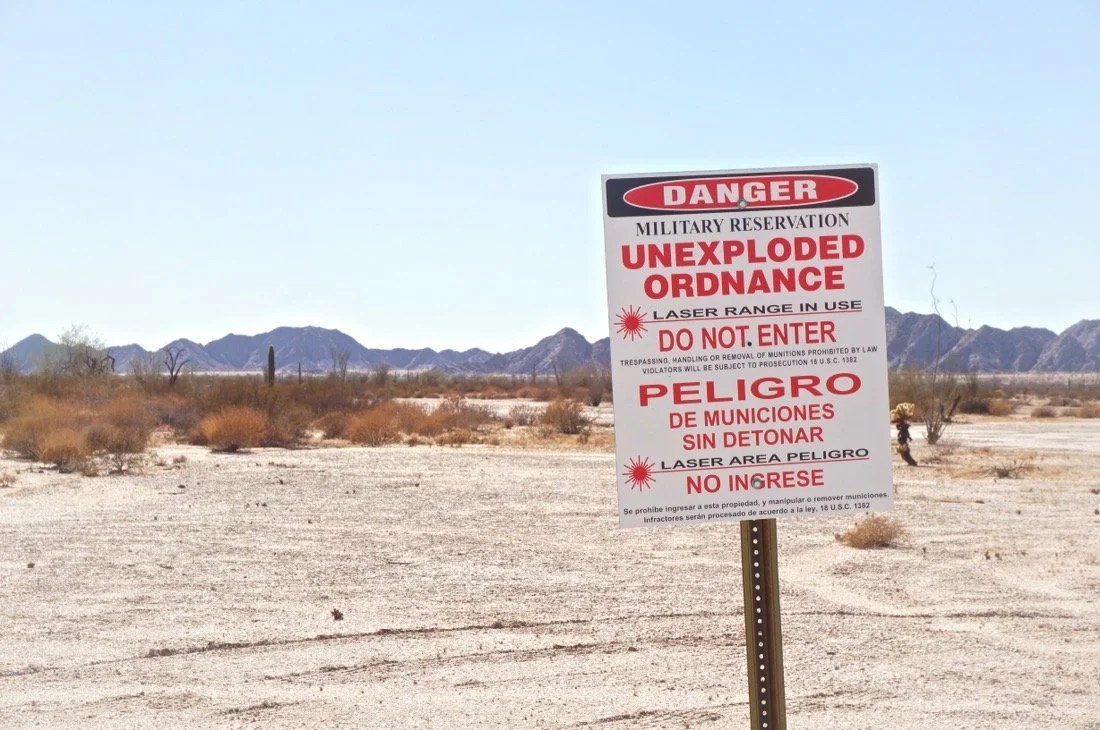
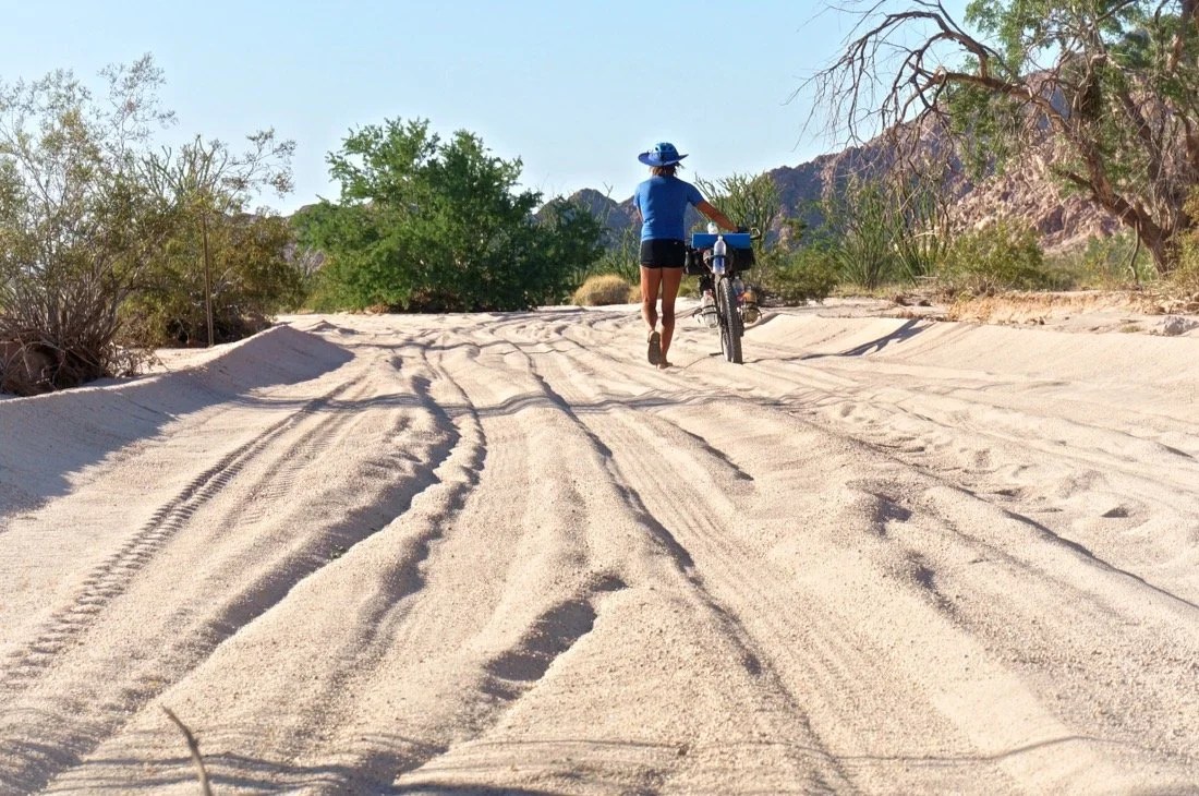
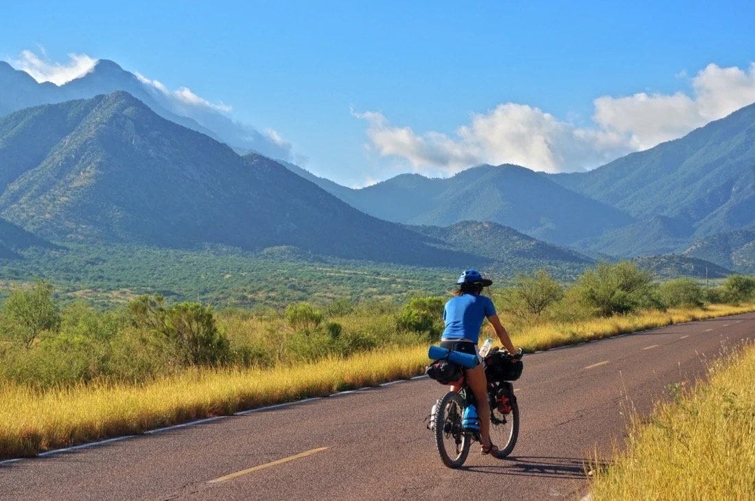
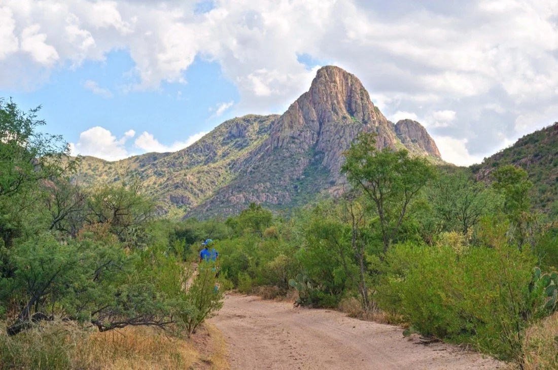
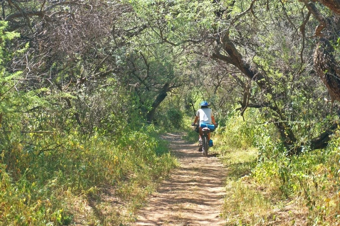
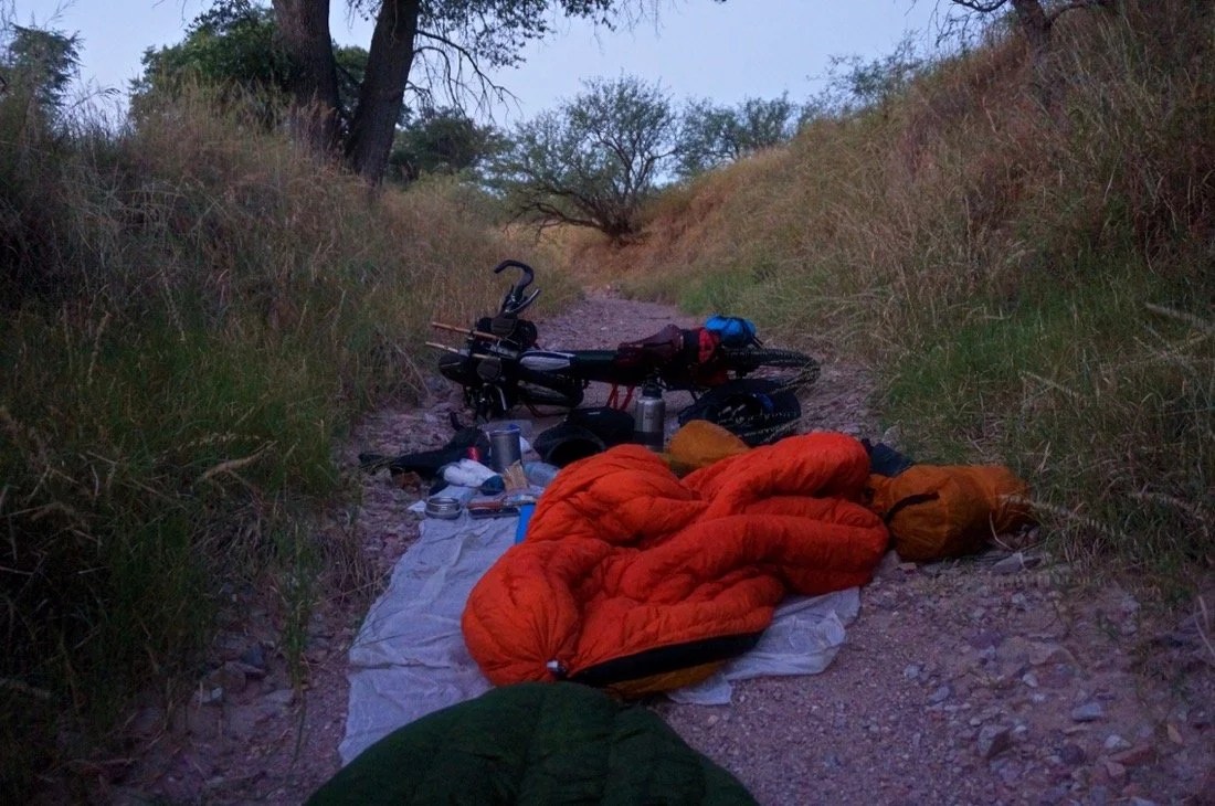
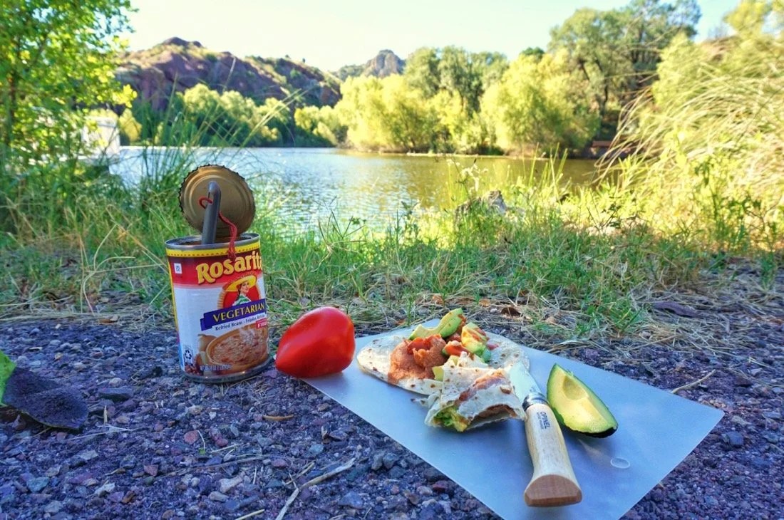
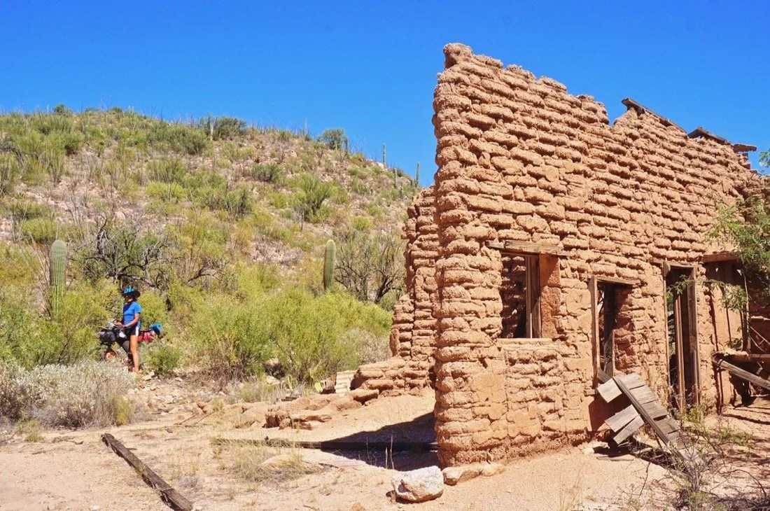
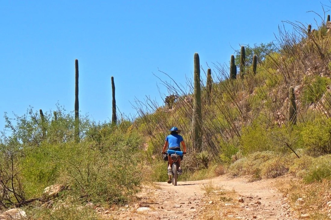
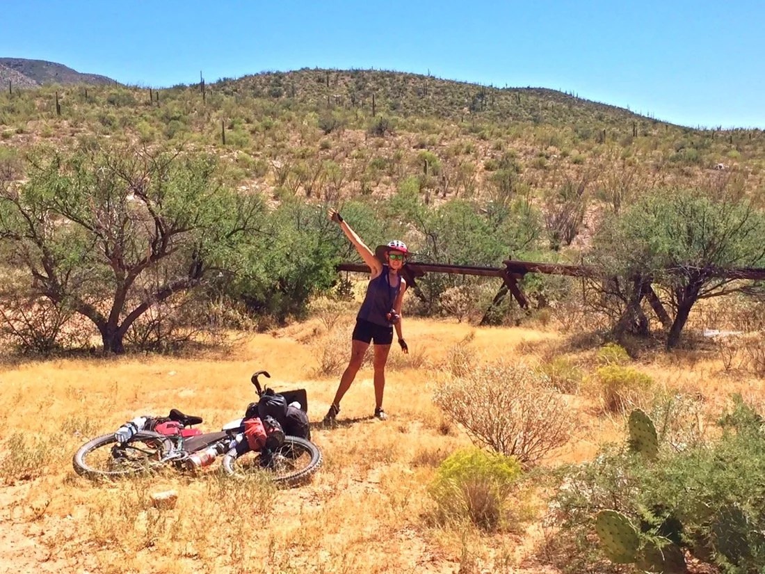
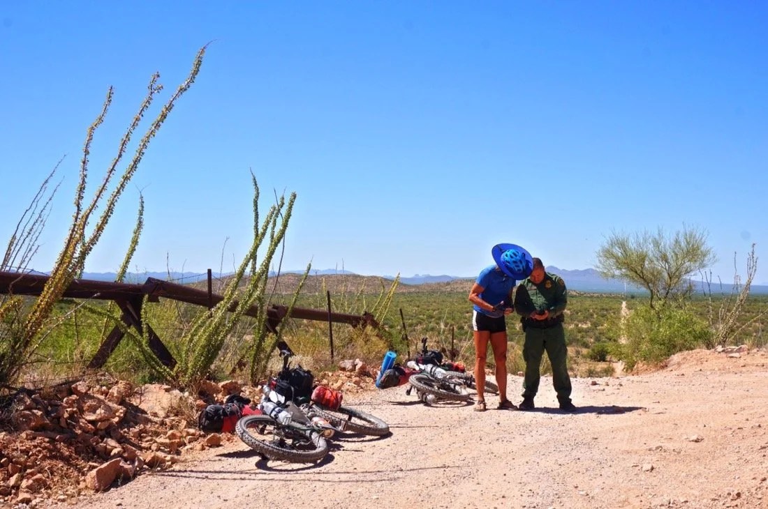
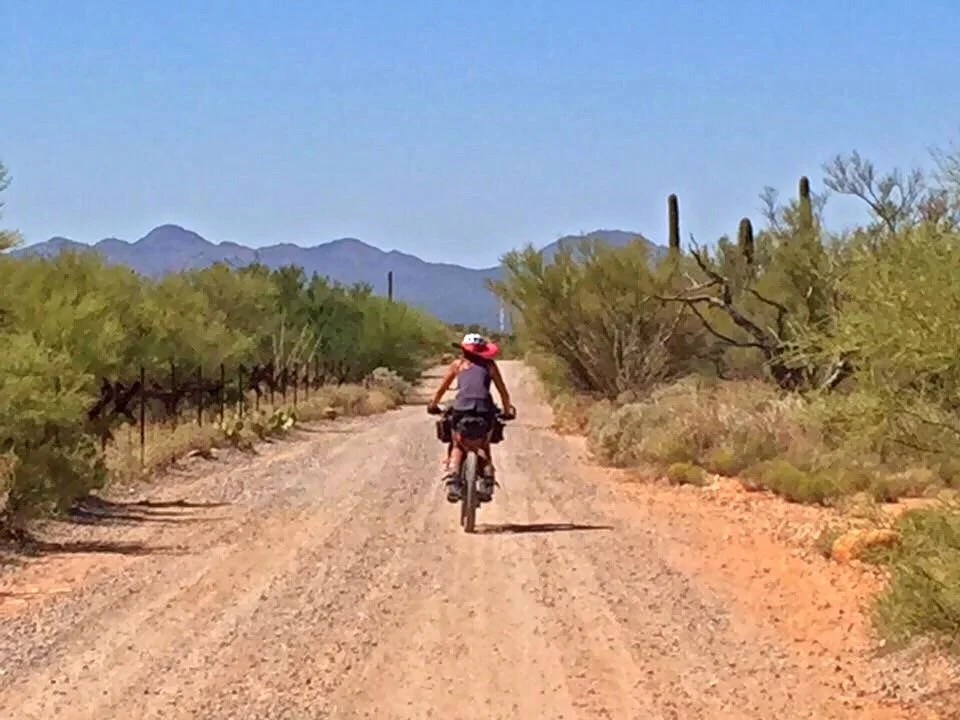
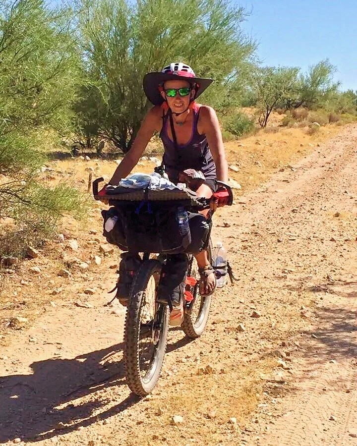
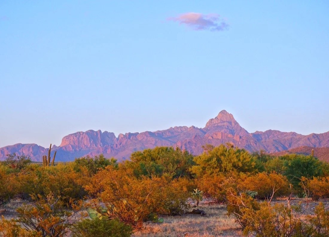
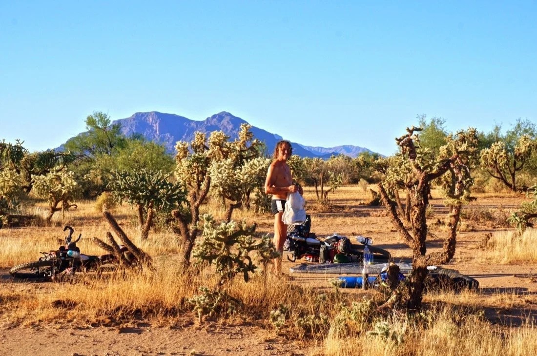
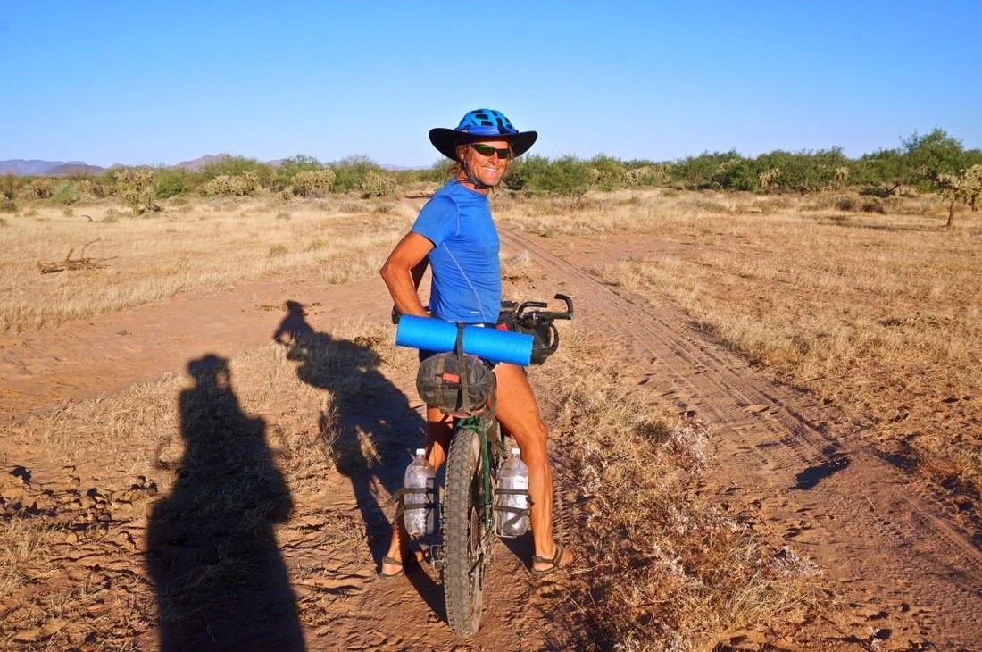
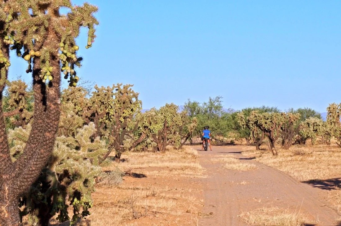
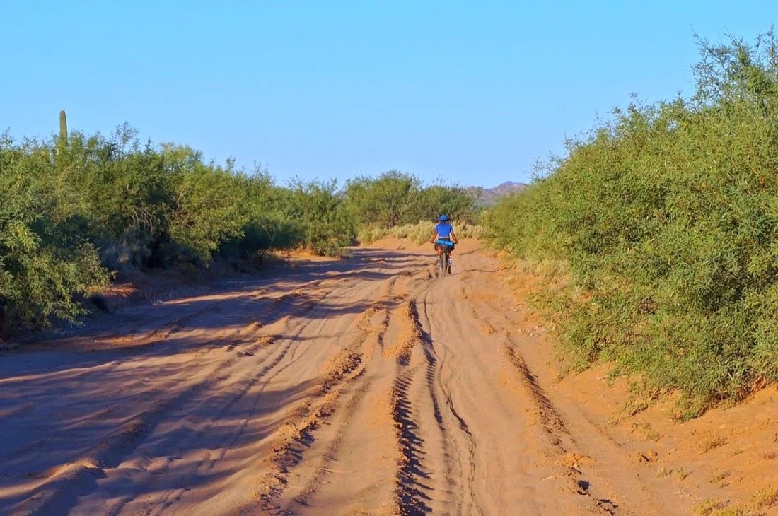
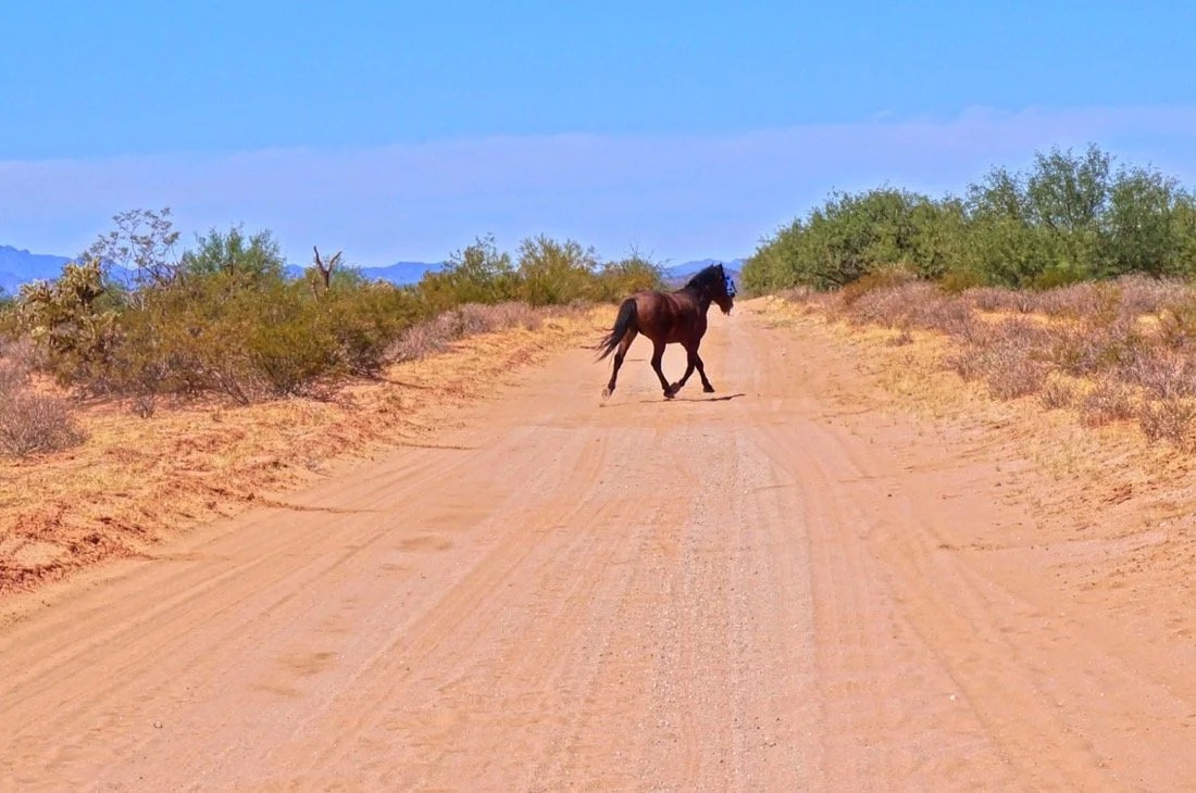
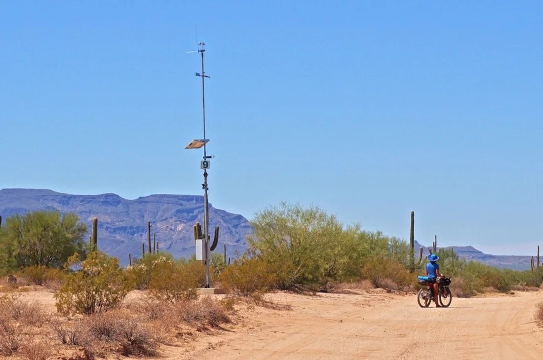
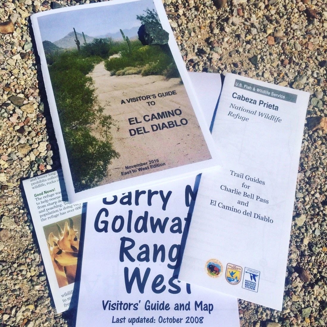
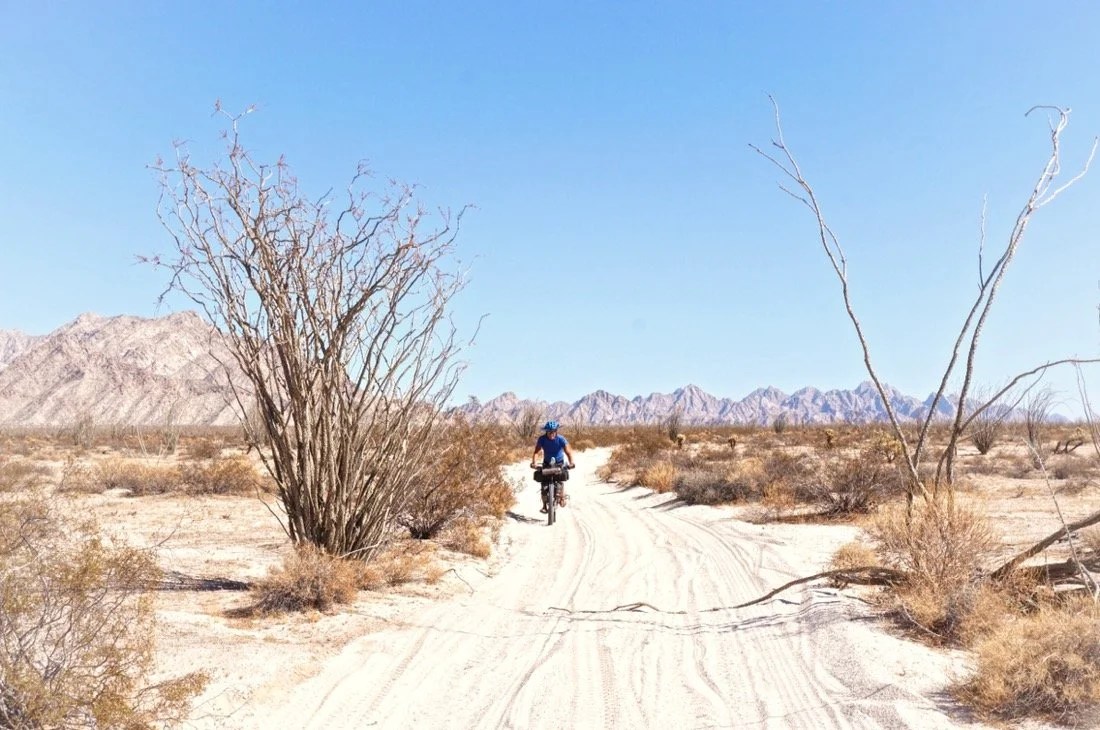
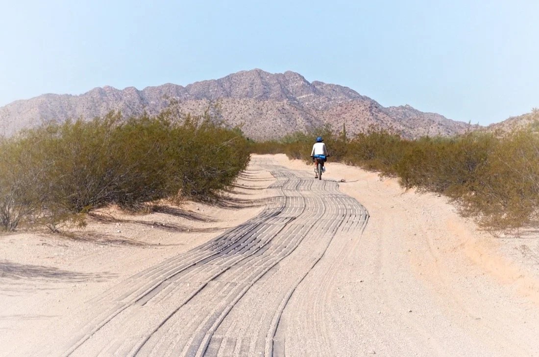
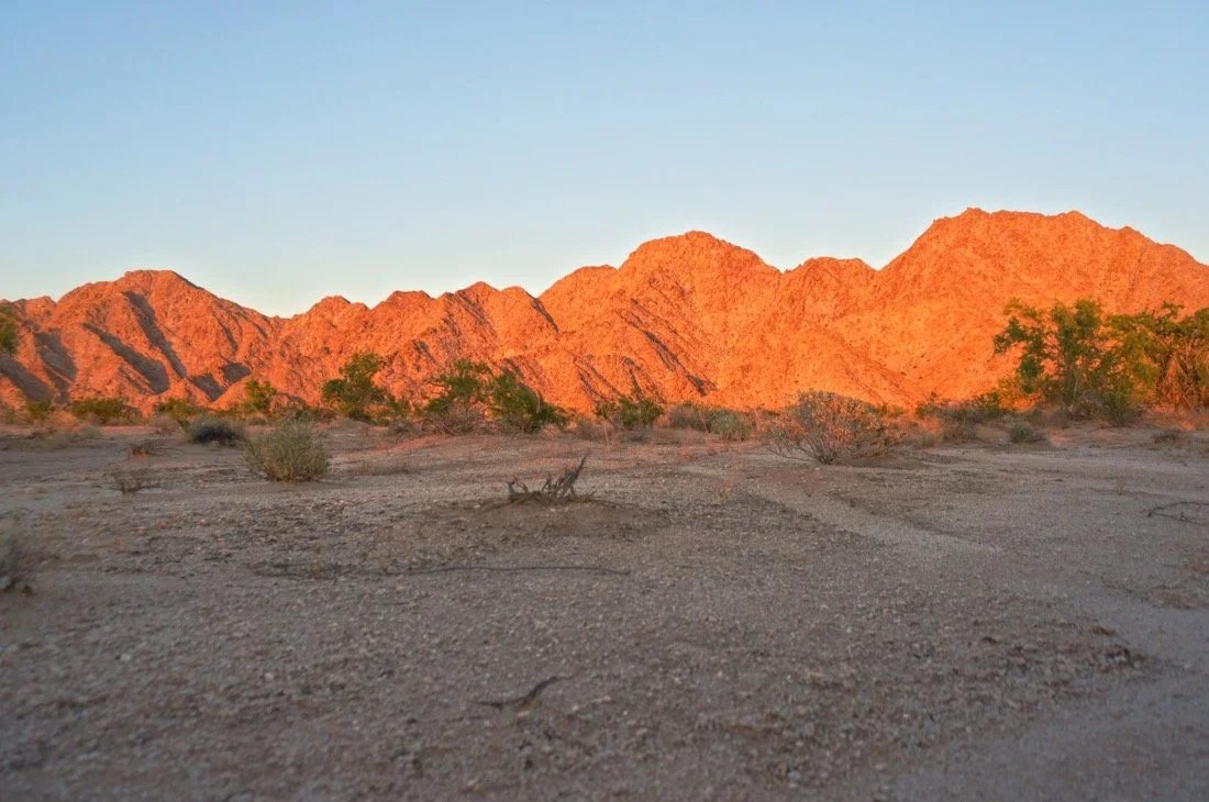
    Centuries ago, El Camino del Diablo was a network of footpaths that led to water, sacred places, villages, and hunting grounds. These footpaths spanned from Sonoyta, Sonora to Yuma, Arizona. Today, the Camino del Diablo is a ~210 kilometer road that spans a remote section of the Sonoran Desert from Ajo to Yuma. The road travels across Organ Pipe National Monument, Cabeza Prieta National Wildlife Refuge/Wilderness, and the Barry M Goldwater Range (West). The land encompassing the Camino del Diablo (The Devil’s Highway) became part of the US, after the Gadsden Purchase, in 1854. In recent history, prospectors, in search of gold and other treasures, prospered and perished along the Devil’s Highway. Today, it is a remote recreation destination for the adventurous tourist. It is also a perilous route, taken by many, in hope of making a new life in a new land. After hearing much about this route from friends, and internet sources, that talked up its remoteness, mystique, history, and danger, and being the desert rat that I am, I was eager to see what it was all about. And it did not disappoint.We left Ajo in the late afternoon. The dirt road leaving the highway was in good shape, and we made forty-five kilometers well before sunset. After chatting with a border patrol agent about where best to camp, we set out away from the mountain features of the landscape to find a place to camp in the flat open desert. Before the flats, we came upon Growler Wash, and lured by its shade, we picked a spot to camp under a Palo Verde tree. Just before sunset, I saw a group of birds, then more birds, and more birds, big black birds, black vultures, flying over and along the wash. They kept coming and coming. I’d never seen so many vultures together like this before. There were hundreds, and hundreds, and more flying in …at least a thousand vultures descended upon Growler Wash. I love vultures, so I was thrilled. It felt so special I though I might cry with excitement over this experience. Why were they all here? Is this where they have always come? Is this a migration path? Do vultures migrate? Did a herd of cattle die beyond these trees? Maybe they just came to say hello to me, to watch over me in the night? They were flying around a bit, a few here, a few there, landing in and out of trees before settling in to roost for the night, right where we also decided was a perfect place to camp. It was magical. I watched them settle on a branch, flip out their wings, giving them a little wiggle and shake, and then tuck them in close to their bodies; then they tucked their neck down into their shoulders. I turned to Neon and said, “they won’t peck at us, thinking we’re dead, after we fall asleep, will they?” I was so tired, and felt so secure in their presence, I fell asleep within minutes of watching them all settle into their trees for the night. Upon waking, in the pre-dawn light, I could see that they were still perched in their trees. What a wild experience, I thought, one I never would have imagined, and yet here I was having a slumber party with a thousand vultures on the Devil’s Highway. We gathered up camp and rode off into the morning wondering what the day might bring.We cruised into Papago Well, arriving well before noon. We filled our canteens and settled in under a shade tree for a long afternoon siesta. A few other tourists passed through while we were there; they asked about our bikes and our journey, and were impressed that we were out here so exposed in such a remote area. It was a hot afternoon, hotter than we were hoping it would be. It was 40°C in the shade. I sucked down two and a half liters of water during our three hour siesta in the shade. We set out again just before 3:00 pm. In the next two hours I drank another three liters of water. We camped in the Pinacate Lava Fields. The plants were sparse, but lush and green through here. A mosquito sang in a my ear, and a deer passed nearby. The surrounding mountains, pale desert floor, and black lava boulders glowed in the pink hues of the setting sun. We could hear trucks and other traffic on Mexico hwy-2 to the south. A few birds flew through camp as we settled in for the night. I only peed once, a small pee, before falling asleep and I wondered, “what happened to all that water I drank? Did I sweat it all out?”We woke early. It was still dark out, and we got an early start hoping to beat the heat. Later in the morning we rested for a bit in the shade. A newish, shiny, black pickup approached from further down the road. It stopped twenty five meters shy of us. A guy got out and started ducking down, peering through the bushes. I couldn’t really see him, but I could make out that he was wearing khaki clothing, and skulking through the bushes. I turned to Neon and said “this is really creepy, what’s he doing?. Then the guy said something really weird, like “bigdity badity boe”. I was like “What? Can I help you?” He said something weird again, like “baggity bee.” I said “I don’t understand you, what’s baggity bee, what do you want?” He said something weird again and I turned to Neon (who is fluent in Spanish) “did you understand that? It doesn’t sound like Spanish to me. This guy is really creepy.” Neon replied, “I have no idea what he’s saying, maybe it’s some kind of Indian mix.” Then Neon said, loudly, “Who are you?” We still couldn’t really see the guy, but he answered in English (finally), “US Fish & Wildlife.” Then I said, “you can’t just sneak up on people through the bushes acting all creepy. He said he wasn’t being creepy. And I replied, “biggity bee, that’s weird, and you were sneaking up through the bushes. You can’t sneak up on people, acting all creepy, and expect people to not be creeped out.” Then he demanded to see our permits, and then demanded to see our ID’s, asked us where we entered, and if we were going to Yuma. And then he left and said “enjoy the rest of your trip.” It was such a creepy experience, one that as a woman, had I been alone, one more “biggity bee” and I might have started running, away from the creepy guy in the bushes. And a guy like that probably would have started shooting.It took a while to shake off that weird experience, but we made it to Tule Well, watered up, cooled off, and had a nice siesta until three o’clock again. We rode for a ways, past Cabeza Prieta Peak, then chatted with a border patrol for a few minutes. He was impressed by our journey, asked about our bikes, laughed a bit about our experience with the US Fish & Wildlife guy, and said “eh, Fish and Wildlife doesn’t really like us either.” We passed another border patrol shortly thereafter. And then a third border patrol, who was very concerned if we had enough water. He gave us a number to call, when we get to Yuma, to let him know that we made it through the desert safely, and then insisted we take a 1 1/2 liter Smart Water with us, even though we told him that we left Tule Well with 9 liters of water each. Neon said “oh, it’s cold”, and then I said “if it’s cold then you have to share it with me.” We rode on, found a place to camp, nestled in with tall Saguaros, and watched the sun set. Later in the night I woke to a very, very, low flying plane that was suspiciously quiet, and like nothing I’d ever seen before. My first reaction was to duck for cover, and then I remembered that I was already lying flat on the ground. Two more planes flew over. All I could say was “whoah, it’s like I’m in a Star Wars movie or something.” Neon said “ghost planes”. For flying so low they were amazingly quiet, I replied. They were like sleek, black, stealth planes. I’ve never seen any like them. They had green lights on the underside of their wings, tail, and front. Probably so they didn’t hit each other, I thought. It seemed weird since we we’re still in the Cabeza Prieta Wilderness. Then I remembered that even though this is Wilderness, it’s still private airspace here. When we woke the next morning, I said to Neon, “I really like the pace we’re riding through here at. We’ve seen so much …those weird planes, the vultures, all our interactions with other people. It’s really cool. It has been a good speed our whole bike journey so far.” Neon added, and yet we’re still moving fast enough that it doesn’t feel slow. And then he said, I really think this is what people think the Arizona Trail is like: border patrol, gaggles of vultures, “illegals”, and ufo’s passing in the night.”We set out for the day, next stop, Tinajas Altas (High Tanks), pockets of water in large holes/basins in the smooth rock in the Tinajas Mountains. We left the Cabeza Prieta Wilderness and entered the Barry M Goldwater Range. The sand was a little tiring to ride through this morning, but we made it to High Tanks in time for second breakfast. I got three liters of water. The water was a little yellow-ish, but had a fresh, earthy flavor. Neon said it tasted like “sheep poop”. Whatever, I said, “it’s way better than that soapy, salty, tasting water from Tule Well.” We left High Tanks and rode across Tinajas Pass to the west side of the mountains heading toward Yuma. We stopped for a siesta under a Palo Verde in a wash. It was a nice soft sand, and Neon said it was like we were at the beach. I said “yeah, except without the water.” After our siesta, the sand got bad, the worst we’ve had so far. We pushed our bikes, and pushed some more. It was getting late and we finally gave up and rode on the north side of the road through the desert. We fell a little shy on of our usual kilometers for the day and camped near the entrance to Spook Canyon. We could see the lights of Yuma in the distance. I fell asleep watching the alpenglow fade on the Tinajas Mountains.The wind blew through the night. It was hot and I dreamt about fizzy Italian wine, Lambrusco, and organic strawberries. We woke early, in the dark, excited to get to Yuma. The miles through the “not so bad” sand were tiring, but passed quickly. We made it to the outskirts of Yuma  to a Fry’s (grocery store), around 11am. I bought Lambrusco and organic strawberries. I ate the strawberries immediately, and then decanted the Lambrusco into my Klean Kanteen. It fizzed and spurted out of the Kanteen as we pedaled across Yuma to a hotel on the other side of town. Riding on pavement is like hyperdrive, the kilometers go by at the speed of light._________You can sign up to receive The Redheaded Nomad’s blog posts in your email inbox; sign up at the bottom of any page on my website: theredheadednomad.comYou can also follow me on Instagram @theredheadednomad and on Facebook @redheadednomad_______Begining our journey on El Camino del Diablo…________Growler Wash…______Entering Cabeza Prieta National Wildlife Refuge…_________Perfecting my bikepacking burritos…________There were steel grids on this section of the road to make driving through the sand easier. __________O’Niell’s grave, a prospector who perished in ~1916 from exposure after his burros wandered away._________Papago Well. Good tasting water. We had a long siesta here.______Groups of tires, bundled together, are used by the border patrol to drag the road, sweeping it clean of prints. This way they can see any new foot prints that have passed through after they’ve dragged it.…freshly dragged road  ⬇️_______View from the Pinta Sands / Pinacate Lava Fields of the Pinta Sierra Mountains._________Sunset from the Pinacate Lava Fields…_________Looking south into Mexico at the shield volcano, Sierra Pinacate, the summit of the Pinacate Lava Fields._____Road sign for the El Camino del Diablo in the Cabeza Prieta Wildlife Refuge…________Riding through the Pinacate Lava Fields in the early morning hours…________Tule cabin & well… the cabin is made of adobe bricks but was rebuilt in 1989 to celebrate the Refuge’s 50th Birthday._________Erosion along the devil’s highway…________Cabeza Prieta (dark head) Peak…_______Early morning sun through the saguaros from our campsite, and from our ride,  west of the Cabeza Prieta Mountains…______Heading west to the Tinajas Altas (high tank) Mountains…_________Getting water from High Tanks…________The west side of the Tinajas Altas Mountains…._______Neon pushing his bike through the deep sand_________Alpenglow on the Tinajas Altas Mountains (view from our last camp on El Camino del Diablo)
  • Riding Along The Arizona Mexico Border

    Riding Along The Arizona Mexico Border

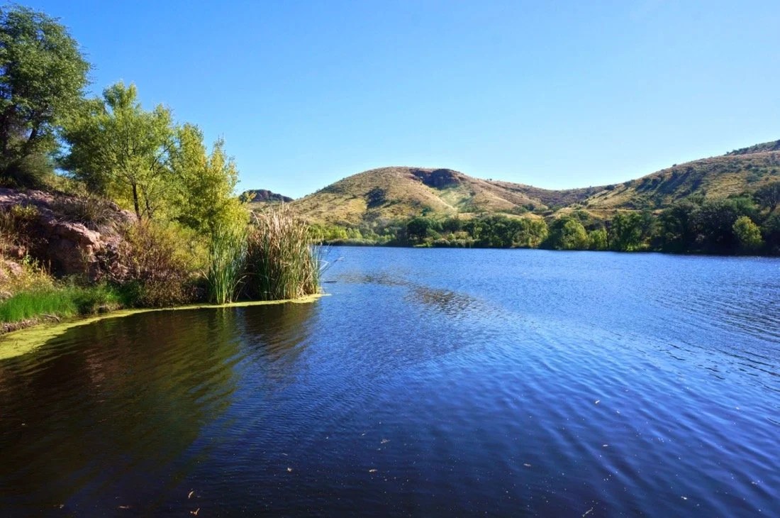
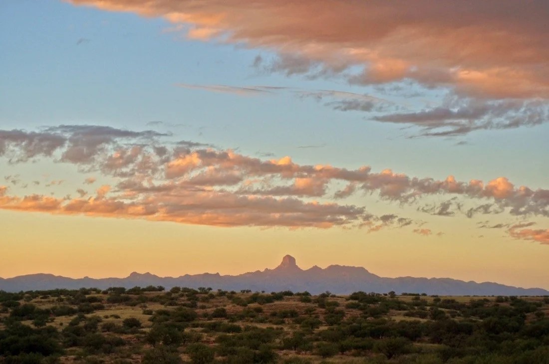
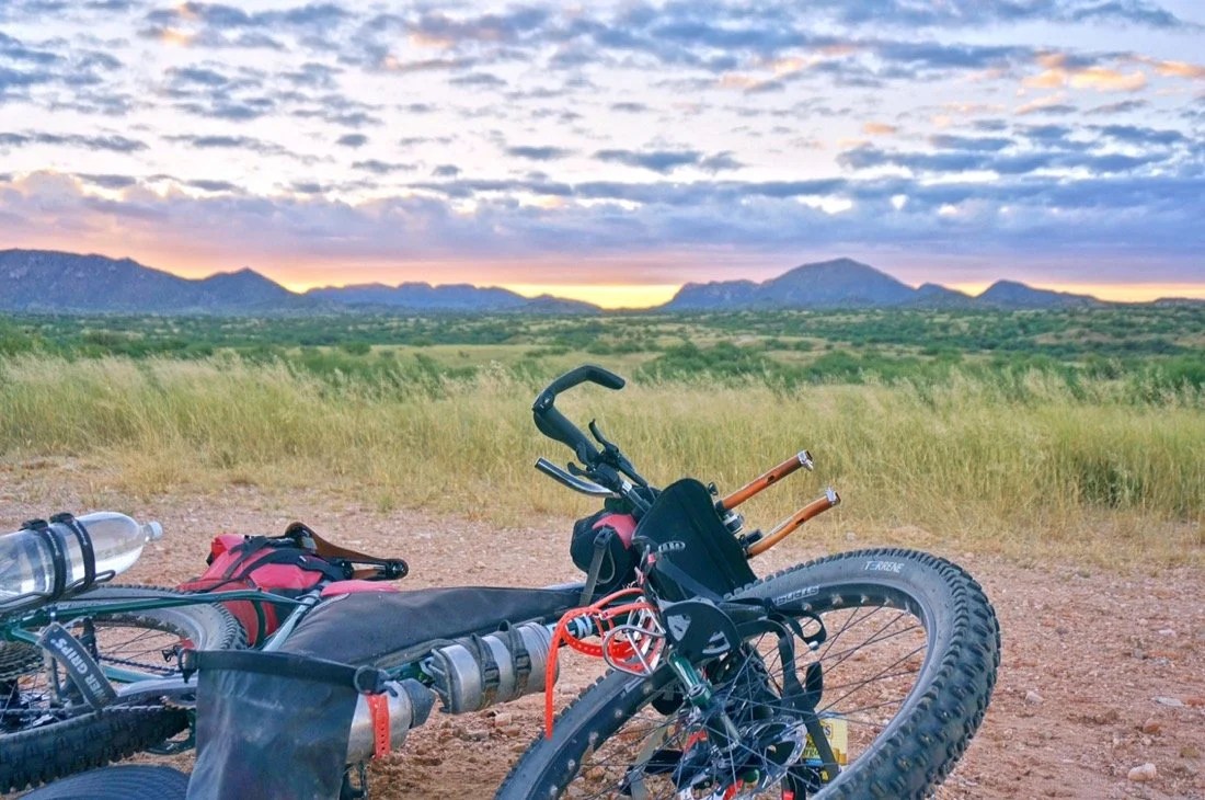
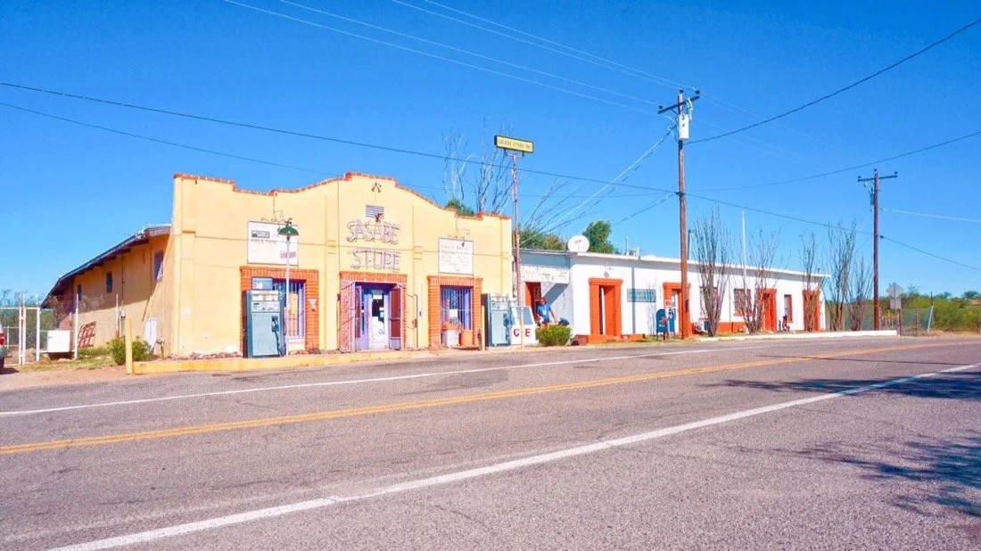
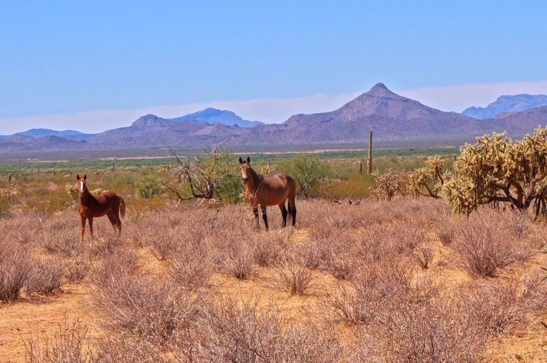
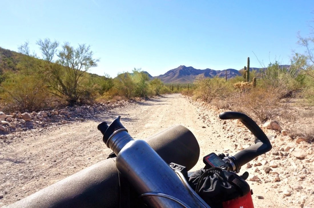
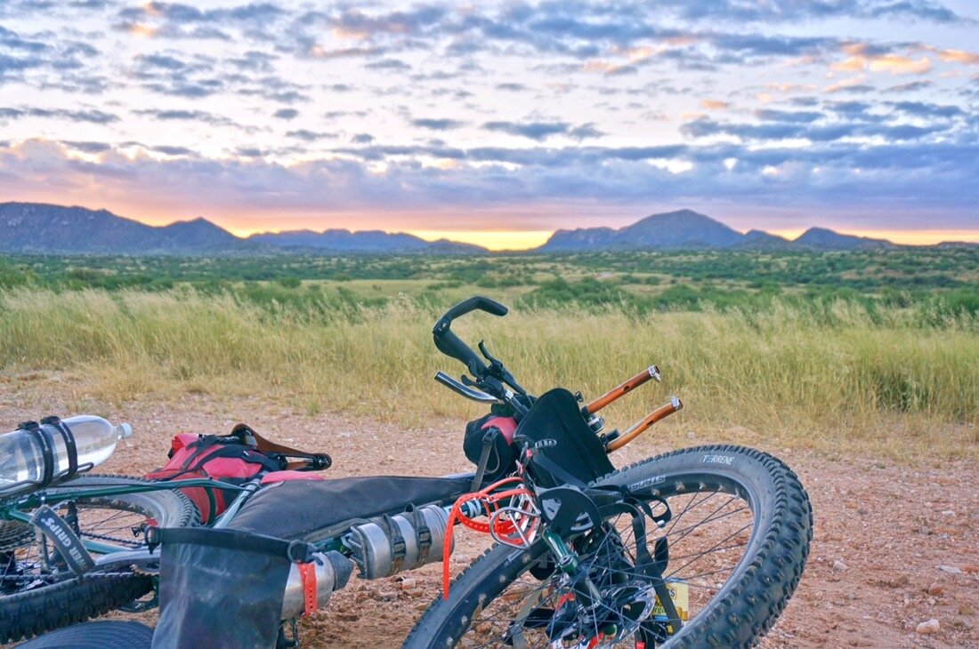
    We’ve come 14 km from home so far. How far is it to Argentina? Something like that, maybe a little further, Neon replied. Ok, I said, I’ll need to get more water then.We filled our canteens at the Elephant Head trailhead and continued on; Neon thinking we’d get to the town of Amado by midday, and me shaking my head saying, maybe by tomorrow, adding “I think this trail gets harder and our bikes are heavy.” The trail was rocky and lined with catclaw for most of the singletrack portion (and two-track too); at one point a tall catclaw bush pulled me off my bike and I nearly landed in it while trying to save the fall. We pushed our bikes uphill over ledges of rock the final third until we reached a good dirt road. From there it was a swift ride into Amado where we got water and camped on the Juan Bautista de Anza Trail. People peered in from the roadside, watching us, so we moved camp a little further down the trail. In the night, three people ran by startling me awake. I watched the shooting stars for awhile until an owl landed in the tree beside our camp. It was loud, and its silhouette striking against the dark sky.The next day we took paved roads, including a section of interstate, to Tubac where we mailed a bunch of excess stuff home leaving our bikes much lighter than when we started this journey. We continued south, riding some on the Anza Trail, and the rest of the way to Rio Rico on paved roads. We arrived in Rio Rico by midday, resupplied, and headed off on a dirt road shortcut to Ruby Road (a scenic road that runs along the Mexico border between Rio Rico and Arivaca). We camped in a wash on the side of the road a few miles from Rio Rico. I took a liter shower and had my best night sleep so far since we began.The next day we continued down Ruby Road to Peña Blanca Lake, had a burrito picnic, rinsed our clothes, and washed up in the lake. The day was filled with nice riding up and over hills in a classic Sonoran Desert “old west” setting. We arrived in Arivaca the following day, resupplied, and then headed south and west on dirt roads along the Mexican Border to the border town of Sasabe. The border patrol roam these roads, but always smile and wave when we pass. We slept in the desert near Sasabe, watching the sunset paint Baboquivari in soft pinks and oranges in the fading evening light.After resupplying in Sasabe, we headed northwest over Presumido Pass in the Pozo Verde Mountains, south of Baboquivari. We descended into Tohono O’odham Nation land on the other side of the pass and continued our ride north toward Baboquivari, spending one last day and night with the mountain that captured my soul the first time I saw it seven years ago. The shooting stars have been amazing, and on this particular night Neon said “look, look, look”. I looked up and there was the biggest, and greenest, shooting star I had ever seen. He said, “That one is going to make a noise somewhere when it hits.”In the morning we continued north to Sells, and then west across another road that eventually turned to dirt, and then sand, lots and lots of sand. We camped in a chollo forest. I woke in the night to pee. In the distance I saw a blue blinking light, the first of many we would come to see. I had heard about these. They’re “help” stations along the border where if an immigrant gets desperate and thirsty enough they can push a button and the border patrol will come get them. A little while later a border patrol drove by and coyotes howled. I watched the shooting stars until I fell asleep, but woke again shortly thereafter to wild horses tromping through near our camp. We woke early and continued across the desert. We decided to take a smaller road slightly north that was hopefully less sandy. It went through what looked like old growth chollo forest, but it eventually ended. We weaved our way through the desert on cattle/horse/donkey/burro trails until we found another road that led us to a little town called Kupk. From here we caught the bigger road west to paved road that led to Pisinemo. We got water and took another dirt road west to the eastern boundary of Organ Pipe National Monument where we decided to head north on pavement and ride into Ajo on the main hwy. after eight days we were more than ready for a real shower, clean clothes, and a night or two in a real bed. And salad, on these long stretches out I crave greens!… … …I don’t really have any stories from this journey yet as everything is still seeping in and becoming real. It always takes a while for me, at the beginning of a new journey, to peel back the layers of myself and let the new places and experiences show me the way. My current thoughts are muddled up on the different stories and histories and feuds surrounding the Arizona Mexican border. These places, the people, and the long history of disputes that permeate the border areas are intriguing and challenging to understand. On our journey through, the Tohono O’odham thought the border patrol would give us a hard time. That was not our experience. The border patrol were friendly, helped us with directions, and were curious about our bikes and our journey. The border patrol thought the Tohono O’odham would give us a hard time. That was not our experience; they were friendly and curious about our journey. Everyone was worried for our safety. We saw four people, all dressed in black, obviously “illegals”; they were just hoping to go unnoticed, and never bothered us. We saw several dead donkeys and cattle decaying in the sun, hollowed out, with flies, and buzzards, and coyotes cleaning up their remains. It’s a harsh landscape on one hand, but home to many on the other hand. I don’t know this place, but in the few days I spent riding throuygh I found myself trying to imagine what it would be like to call it home.______You can sign up to receive The Redheaded Nomad’s blog posts in your email inbox; sign up at the bottom of any page on my website: theredheadednomad.comYou can also follow me on Instagram @theredheadednomad and on Facebook @redheadednomad______ Coming next: El Camino del Diablo, The Devil’s Highway in southern Arizona.

  • Mustang Mountains Highpoint

    Mustang Mountains Highpoint

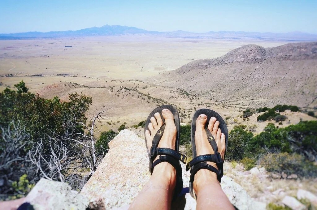
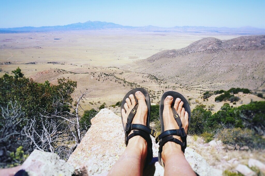
    It wasn’t long after moving to Arizona that the Mustang Mountains drew me in. Someday, I knew, my feet would wander their curves and folds and stand upon their high perspective, looking out over a new view of the Chihuahuan Desert. And it finally did. Since I love highpointing so much we decided to climb the unnnamed highpoint of the Mustang Mountains (6,469 feet). But someday we’ll be back for Mt Bruce and Mustang Peak too. DIRECTIONS: We headed south down highway 83, turning left (east) onto highway 82 at Sonoita. After 8.5 miles we turned right (south) onto Upper Elgin Rd. After ~2.6 miles we turned left, through a gate, and onto an unnamed dirt ranch road. We took this road, passing through a couple more gates, to its end. From the parking area, Mustang Peak sat to the north, and the unnamed highpoint (6,469 feet) of the Mustang Mountains sat to the east and a little south. HIKE: We headed east from the parking area, following what looked like an old road for a short while, and then picked a line up the slopes to the summit. The hike is all cross-country, with grass and short catclaws (not as bad as it sounds). The final push to the summit ridge is a steep and rugged, slightly loose, 3rd class rocky scramble. From there it’s an easy walk along the ridge, through the trees, to the highpoint. The summit offers 360 views. You can see the Huachuca mountains, the Santa Ritas, Whetstones, and many others I haven’t yet learned the names of. The quest to climb little bumps and giants in the sky always feels like a journey home, perhaps because it is often a journey inward, one of letting go, and embracing my connection to the land, the sky, and all that surrounds a place: the mountain, like a castle in the sky.•••••••••Review of my Luna Leadville Trail Sandals:This hike, rugged as it was, was also my first backcountry, off trail, hike in Luna Sandals. I was a little worried if their minimalist design could hold up to the Arizona backcountry where there wasn’t even a trail. But I quickly gained confidence in my new footwear as I hiked cross-country through the grass and over catclaw bushes in this rocky landscape. I felt surefooted and close to the earth, but also protected from the rough terrain. Their next test was the 3rd class scramble to the summit ridge. It was steep and rocky with a lot of loose soil. I did have to stop and tighten the heel straps to keep my feet from sliding too far back in the sandal, but after that I had no problems. I was impressed with how agile my feet were on the loose rocks. The last test was the descent, wondering if my foot would slide forward and pull the strap too hard between my toes. But it didn’t. The ankle straps kept my feet from sliding too far forward. At one point, I stopped to watch how my toes spread out for greater control as I descended down the rocks. This made remember why I hated shoes as a child, because everything is just better barefoot, or as close to barefoot as possible. And these sandals definitely offer the foot a barefoot freedom with just enough protection from the terrain to keep it enjoyable.
  • FALLING IN LOVE WITH A MOUNTAIN

    FALLING IN LOVE WITH A MOUNTAIN

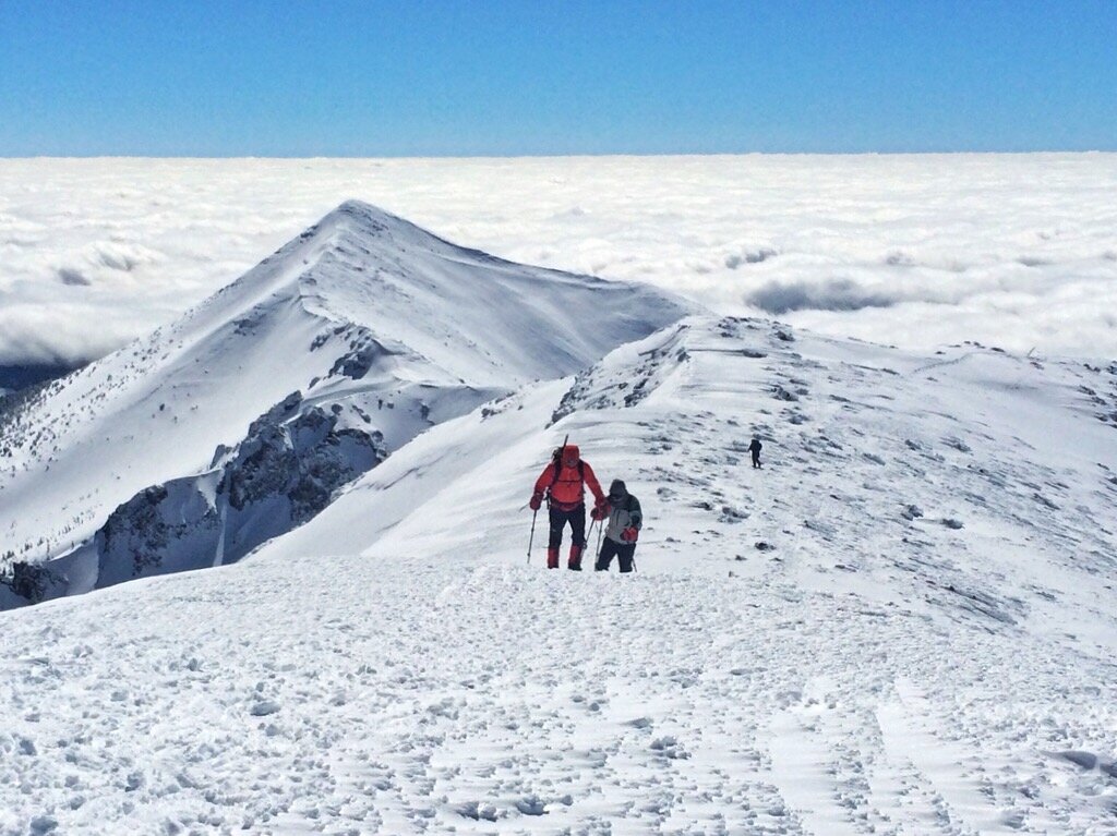
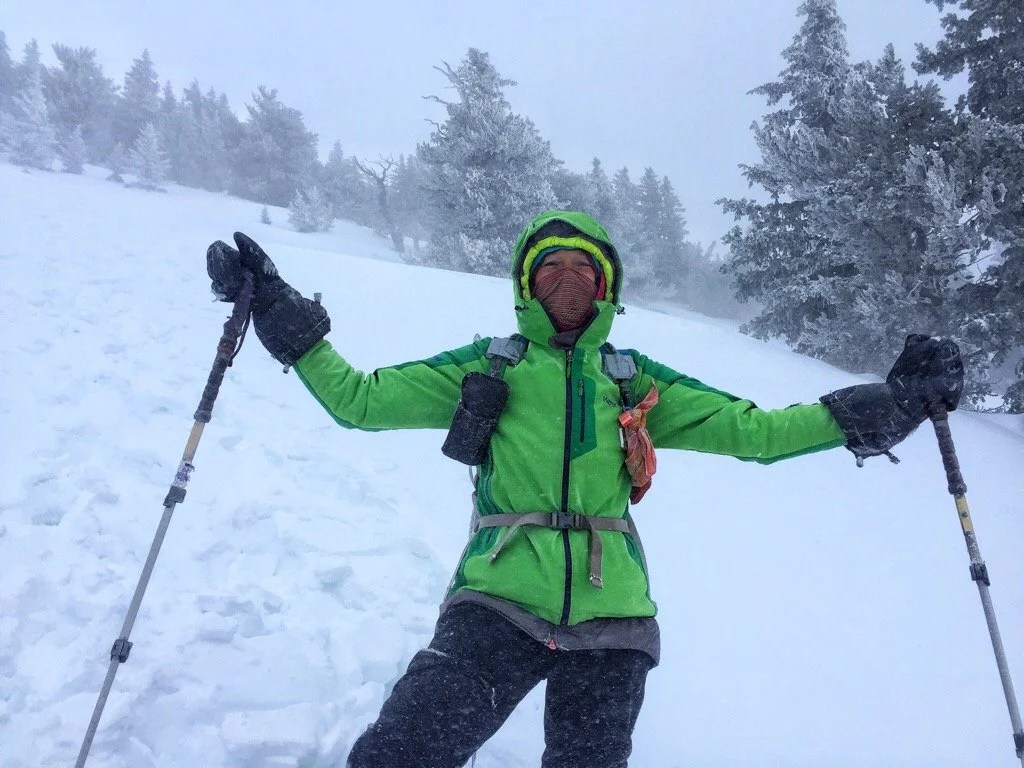
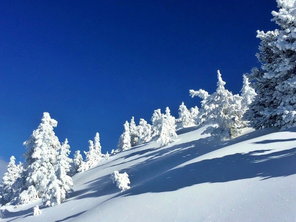
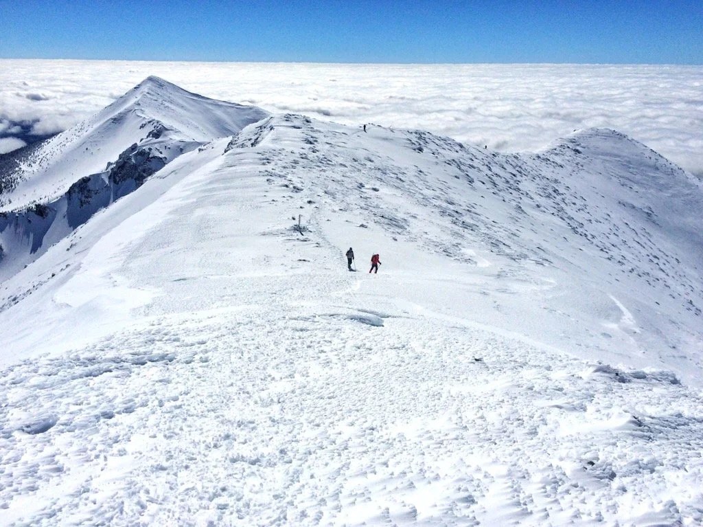
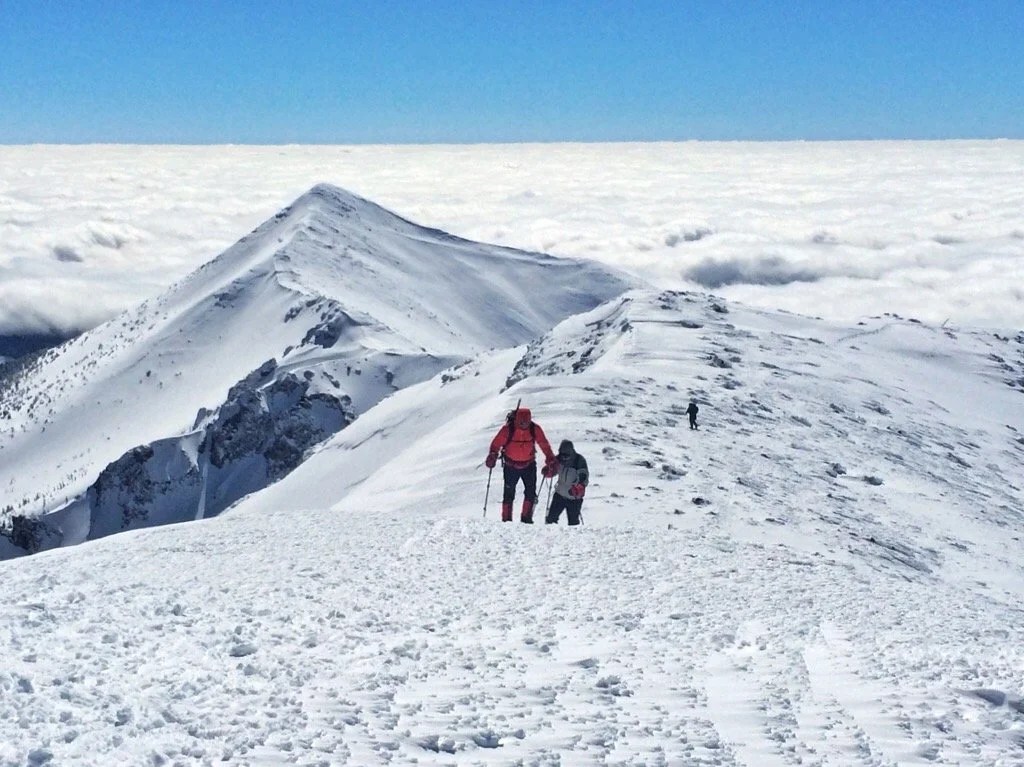
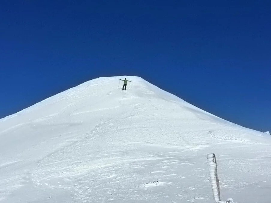
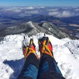
    Falling in love with a mountain, for me, is a lot like love at first sight, and beyond that, it takes time. And I think it needs to love you back, too. I’ve loved a handful of mountains like that, ones that have loved me back, that seemed as though they watched over me, and called to me in my dreams. There are others that seem more like a brief love affair, and I never forget those ones, I will always hold them dear in my memories. But some mountains, well, they just have all my heart and soul.My first mountain love wasn’t even really a mountain, but at age four it was a mountain to me. And when I discovered wild apple trees on its flanks, it had me. My adventures up to those apple trees were the first of many gifts that climbing mountains would afford me. And during those climbs, on my four year old legs, I discovered a deep strength in myself, and also, a friend in Nature. I learned that I could do things, that if I just kept at it, I would get there, and something beautiful would greet me. Mountains have always offered me gifts. Sometimes those gifts come as wild fruit, berries, or other plants, and sometimes they come as an interaction with a wild animal. And I’m almost always rewarded with a beautiful view.Everywhere I’ve lived in the western states I’ve had a mountain that I see daily that I’ve fallen in love with; currently, that mountain is Baboquivari, in southern Arizona. But I’ve found my love growing for Humphrey’s Peak in northern Arizona. We climbed it for the first time, in the summer, over ten years ago now, before I had even moved to Arizona. We often pass by it on road trips now, holding it in our view as we drive by. And after this last weekend, I have stood on its summit it four times, twice in the summer and twice in the winter. I think the winter climbs are my favorite. There are no glaciers, and so no crevasses to worry about, but it still offers a steep snow climb with a relatively high summit elevation, 12,633 feet, complete with all the majestic beauty of a long ridge line approach above tree line. I’ve traversed this beautiful ridge in the summer heat, and in winter winds so strong I had to push against the wind, guarding my face as I made my way to the summit. We have a history together now, Humphrey’s and I, and I think maybe I just can’t help falling in love with a mountain that I spend a lot of time with…_This year’s winter climb of Humphrey’s Peak_____ 

  • This Place

    This Place

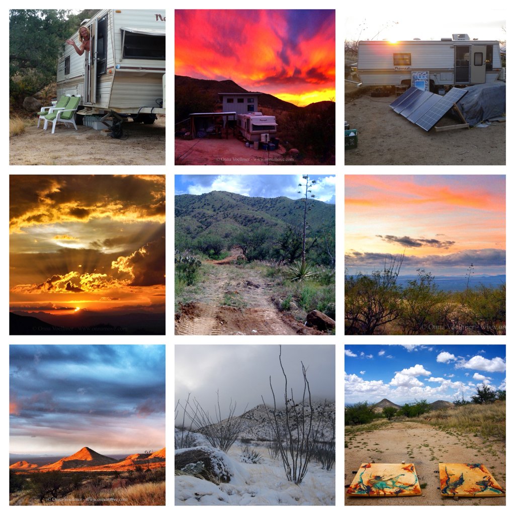
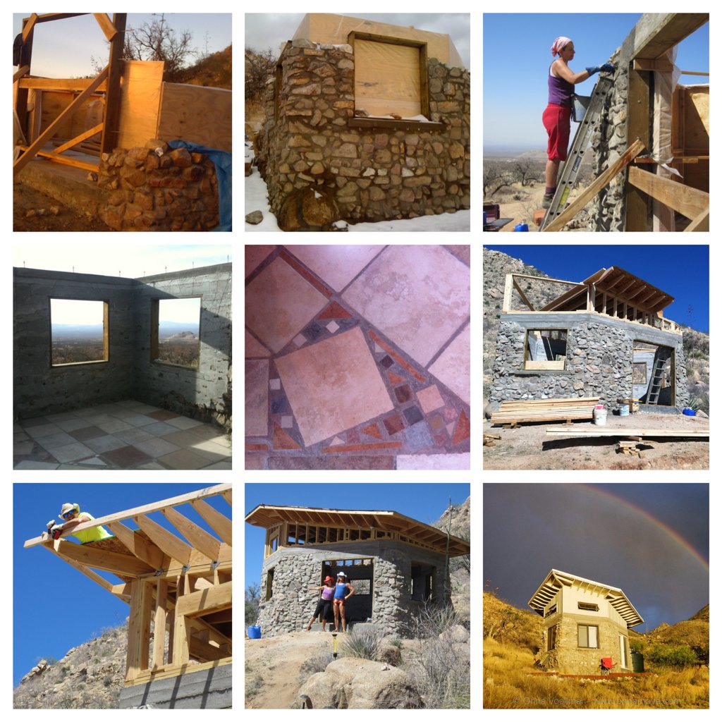
    It has been nearly six years since we came to this place. It is difficult to trace the steps that brought me here. How far back in time do I go to answer how I got here? For simplicity, I’ll say that it was the area’s amazing food culture, and my attraction to continually experience new and different places, that brought me here. I remember the day we drove up the long dirt road. It was all so very surreal. Eventually we ended up on an even smaller dirt road, one that my car at the time could not make it up. We parked and walked another mile to a sign that said “For Sale”. We were enchanted. A forest of ocotillos swayed in the wind, greeting us with their bright red blossoms. A western diamondback rattlesnake squiggled across the road. A pair of hawks circled overhead. This was my first time to the Sonoran Desert. I had never stepped foot here before deciding to move to this mysterious place. It has been quite the journey coming to know this place, and coming to know myself in this place. It has been difficult, and as always life has taken many turns, but it has all been an amazing experience. In the six years since arriving here I’ve returned to being a full-time artist. We have thru-hiked the Pacific Crest Trail, the Continental Divide Trail, the Arizona Trail, and climbed more mountains than I can count. And through all of that we have journeyed into a life of living off the grid, collecting rainwater, and building our own tiny studio and hang-out space from local rock on a piece of land that hardly had a driveway when we arrived. We started with a travel trailer, a pair of garden shears, a few solar panels, and a water tank. It has been a rewarding journey and a labor of love and sweat learning to live here, to honor the land, and to honor the others that call it home.

    The Poetic Version

    It was a series of seemingly unrelated events that brought us to this place. The hawks that live on the hill invited us to stay. It has been a slow process here. One of deliberate intention. We started with an idea, fueled by the invitation of the hawks and a desire to be… here. Six years later we stand a quarter mile up the access way on a hill; the access way that we built. I’m holding a rock in one hand. One of the hawks soars overhead, diving low to check out our efforts. They come by frequently to see how we’re doing. I think about the rock. Every rock I touch has its own story, a story of time I cannot trace. But here we are, holding the rock, every rock collected with our intentions, our backs, our muscles. How many times have we touched this rock before washing it, slowly caressing its every texture and shape, before placing it in the wall? …a wall that will have its own story of place and time.A bird’s song echoes off the hill. I look down and watch the ants for a minute, contemplating their movements. They’re carrying things, bits of flowers into their tunnels, and grains of sand out. I look back at the pile of rocks and then at the small wall and floor we’ve been building. Here I am, neighbors with the hawks and the ants, serenaded by the birds’ songs. We have all traveled here, made of place and time. I watch the ants again. I imagine myself as an ant with a grain of sand …making a home because that’s what we do, even the nomadic ones. We all nest in a place. I am one of the nomadic ones. But I know this place with my body, by the rhythm of the wind, and the path of the sun. It is part of me.These things I know, deep in my soul and in my body. I am the ant with the grain of sand. I am the hawk that soars overhead. I am the penstemon the hummingbird waits for …the wind that caresses my skin, the deer that guides my path, the trail beneath my feet. I am the mountain I climb. And now I am the rock I hold in my hand, building a nest in the mountains, made of place and time.

     animals
    animals
     being-here
    being-here
     the-studio
    the-studio
     new-buildings
    new-buildings
  • AZT 8: Wanderlust …because I am an Animal. (Flagstaff to Stateline)

    It’s always difficult for me to write the final blogpost for a thru-hike. There always seems to be a big push near the end of a hike that leaves me with little time to look over my photos and reflect upon the miles that have passed. Instead, nearing the end of a long hike, everything takes on a surreal outline and then quickly passes from my thoughts as I anticipate the finish and ponder what all these miles have meant to me. And, as always, I wonder “why do I keep walking”? There are so many answers to that question. But this time, my thoughts took on more of a biological pondering… It’s not just me that walks great distances. Humans have always walked, and often walked far, that is, before the days of agriculture. Even today animals travel great distances across vast landscapes, oceans, and skyways. But why? These days, at least for humans, we call it wanderlust.Some accuse it of being a modern phenomenon, but I believe it has a direct link to our primal roots, when wandering was a necessity. It was necessary for food, water, and either warm or cool weather. Wandering is an evolutionary adaptation for survival. Animals climb mountains, swim oceans, and cross vast countrysides just as their ancestors have done. Today, we call this wanderlust… But even as I hike for pleasure, I can feel the deep propulsion of my wanderings guided by my search for the next water, what food may lie in the next town, and a safe and pretty place to sleep. Truly, I am just an animal.  And that is the deep pleasure of hiking long distances away from the daily pressures of a modern societal life.We left Flagstaff midday. The last ~couple hundred miles of the trail ahead of us had very little water. So our destination for the day was even more punctuated by, “how many miles to the next water source?” We fell a little short on mileage the first afternoon, wondering, “how much water do I need for twenty-five miles, anyway?” When we arrived at the water source the next morning I collected four and a half liters of water. The morning was cold, 36 deg F at nine thousand feet with moisture in the air. Part way through the morning, as the day warmed, Neon decided to dump out one of his liters of water. I had hardly eaten during this cold morning. I was still carrying a lot of water and the miles were passing very quickly. I guzzled a liter of my water and then quickly became hungry. It’s all a cycle, I thought.Again we fell a few miles short of the next water source by the end of the day. I still had two liters of water. “So… How much water do I need for thirty-five miles? It has been cool during the day, but we’re about to descend two-thousand feet in elevation. There’s hardly any climbs. The miles have mostly been pretty flat.” When we arrived at the water source the next morning, a leaky pipe, I decided to only collect three liters of water. Three liters for thirty-five miles; this is more than a day of hiking for us, especially since it’s already mid-morning.We pressed on. The winds picked up. The clouds began rolling in. The miles passed quickly. The clouds got dark. The air got colder. Neon put on his rain gear. I kept walking. And then, drop, drop, drop, more wind… I hurried to a nearby juniper for shelter and put on my rain gear. I saw Animal in the trail putting on his rain gear. We kept walking. We smiled as the weather got exciting. Then it started hailing. More smiles, but it was getting colder. I looked back at Neon; He was holding the hood on his jacket to try to keep the hail from hitting his face. The hail turned to snow, and with the fierce wind, it was coming in sideways, completely horizontal, now wet snow. I looked back and Animal was gone. I kept walking to where the junipers got thicker. We stopped and set up the tent. It was one o’clock in the afternoon. We had hiked sixteen miles. We had only collected three liters of water for thirty-five miles. And now we were camped for the day. Warm inside the tent, with an occasional left over shiver from deep inside my cold cells, I wondered how this was going to work. But for now, we were warm and dry and had everything we needed. We toasted with some Jäger to a good day walked…Having set up camp so early in the afternoon we woke especially early the next day and were walking before five a.m. It was cold and foggy, but as the morning got later we could see the sunshine peeking through from beneath the cloud layer. We looked at the map and took a shortcut to save a couple of miles. I still had water when I arrived at our next water source. I was sure I had not been drinking enough, but with the cold weather I just couldn’t force myself to drink. The sun finally started to warm the day as we got closer to the Grand Canyon south rim. We arrived at the south rim village smelly and wide-eyed like wild animals. There were SOoo many people! We got on a bus full of people. I felt like I’d just wandered out of the woods for the first time in my life after having been raised by a pack of wolves. There were so many eyes. Were they looking at me or was I looking at them? We took the bus to the dining hall. I stood in line, with my eyes wide, anticipating a hot breakfast like a little girl about to taste her first ice cream cone. It was such a weird scene. After eating we got back on the bus and took it to camper’s services where we showered and washed our clothes. The sun was warm. We laid in the grass waiting for our clothes to dry.As we began our hike across the canyon I could already feel myself letting go of this, “this” being that place I reach in a hike that feels like home; my ancestral home, when I am still the animal, part of the earth and the sky and the wind. I could already feel it slipping away. Maybe it was all the people, but we were close to the finish and I was already thinking about all the stuff I wanted to do when I got back home.We hiked into the night and the inner canyon came alive with sounds. The frogs echoed through the canyon and guided me on my way. Occasionally I heard a bizarre screech. The canyon frogs appeared on the path, so small, and yet commanded their space, seeming larger than myself. We saw a gecko. I basked in the sounds, slipping back, for a moment, into my animal self that knows the earth.We arrived at the north rim exhausted. Back in the woods on the Kaibab Plateau it was all about finishing this trail before the next storm rolled in and time was ticking. Miles passed. Water sources blurred. I was no longer worried about how far it was to the next water. There was little water, but plenty enough through this cool weather. Occasionally we found small water caches near a road crossing. The pine forest turned to juniper and then sage. The earth beneath the sage turned red. Spring wildflowers lined the path. Bushes bloomed. And red hills came into view. We were approaching the finish. The finish? But what will my days be punctuated by if not the next water? The next food? The next place to sleep? Wanderlust…_…stay tuned for more posts. I have new paintings underway in the studio and later in July we’re headed to Italy for our 10th anniversary. The mountains in Italy are beautiful and I’m sure will inspire much to write about and photograph._