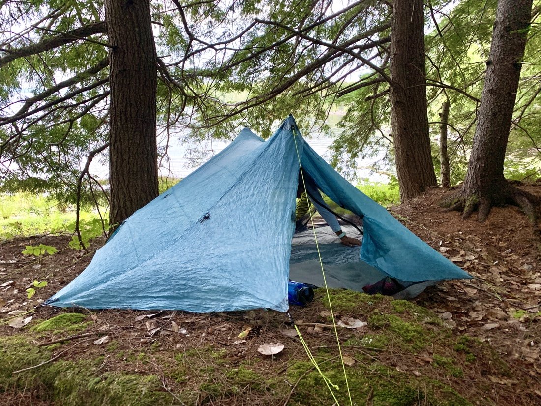
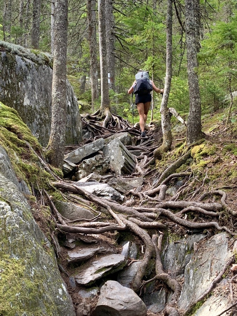
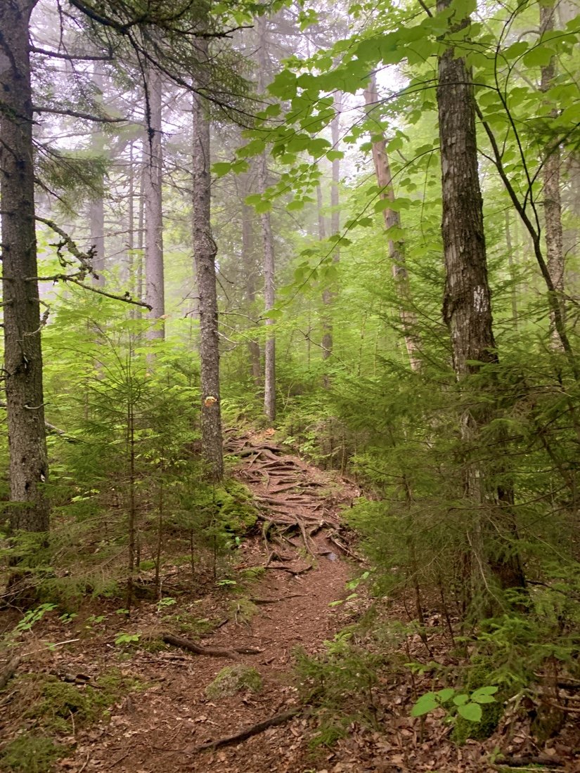
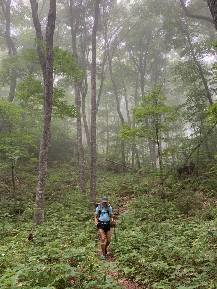
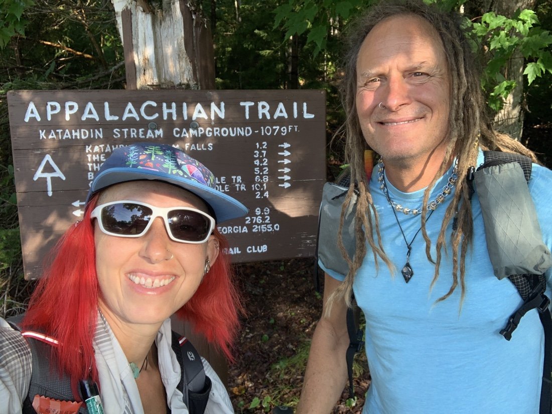
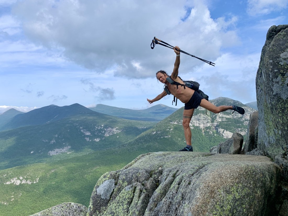
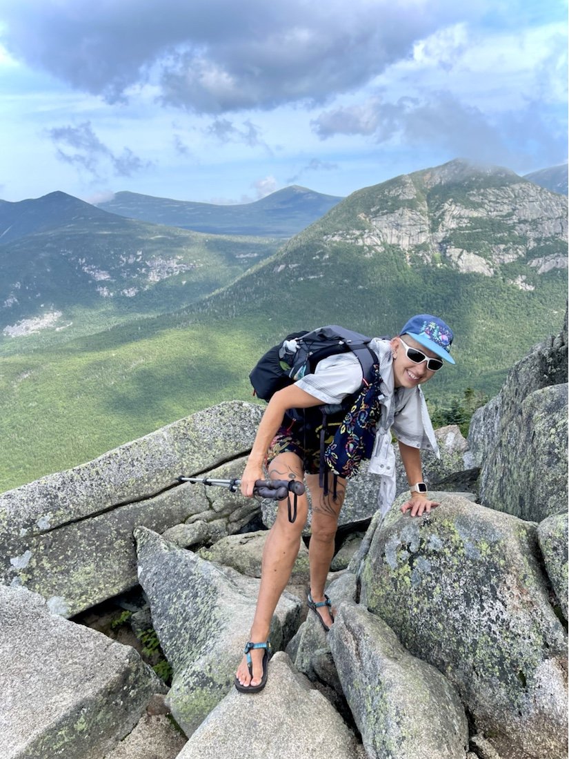
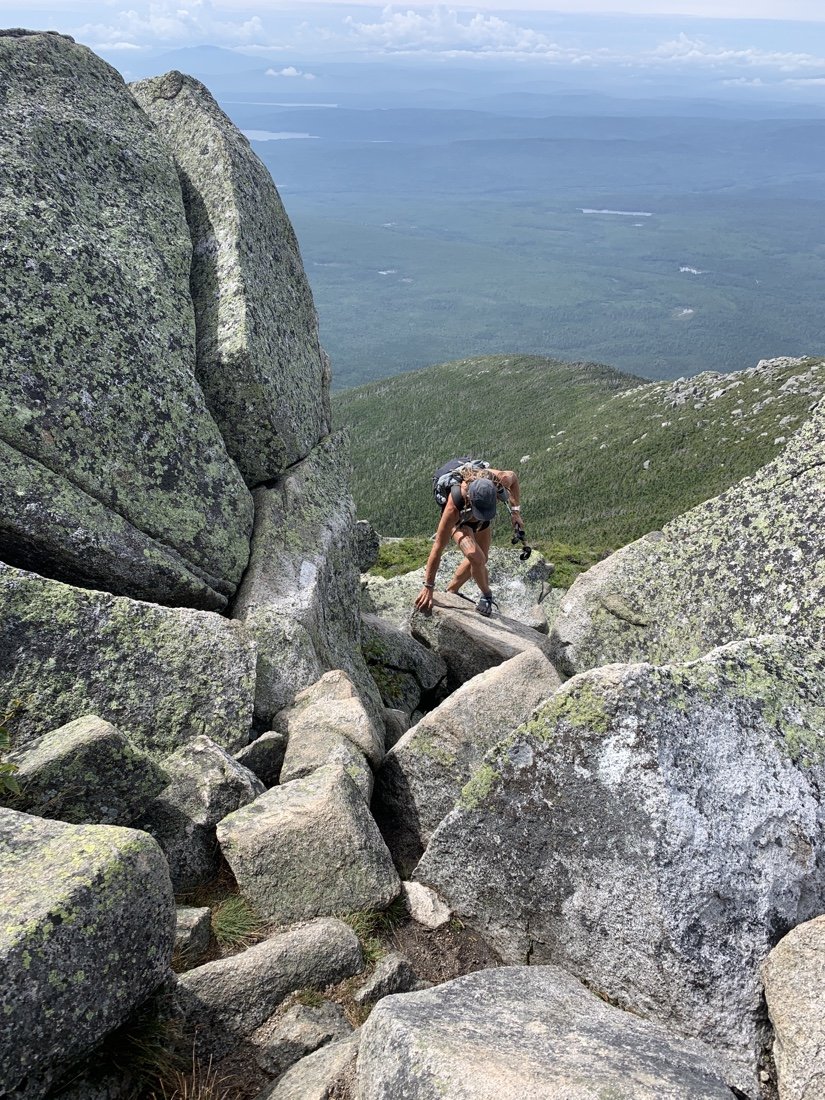
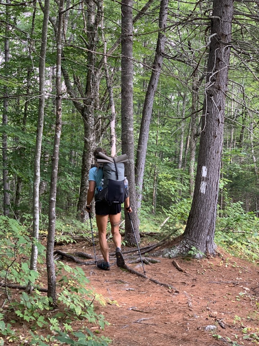
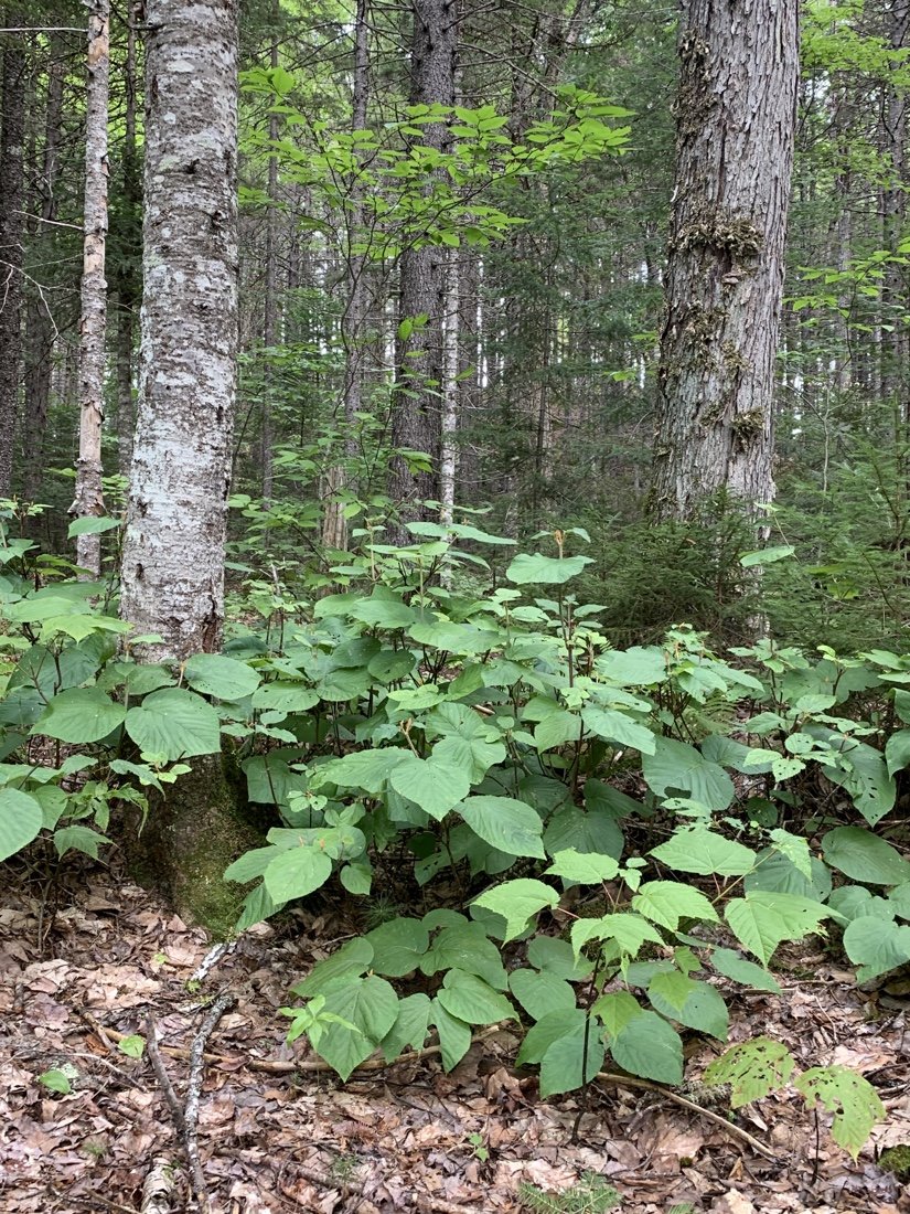
It has hardly been a day, and yet entering the 100 mile wilderness makes Katahdin seem like part of a different adventure, a story I remember. That is, except for the soreness I still feel in my legs, a deep ache in my thighs from the steep descent down the Abol Trail. We walk until just before dark. Campsites are scarce here. We finally locate a spot and settle in for the night. The ground is lumpy. So many roots hidden beneath the duff. That is what I’ll remember about campsites on the AT—roots.
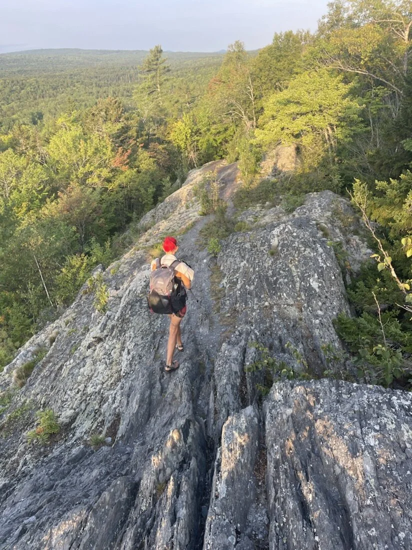
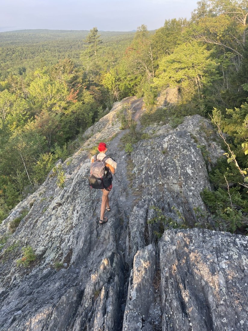
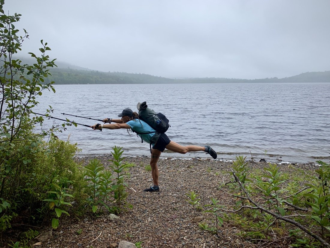
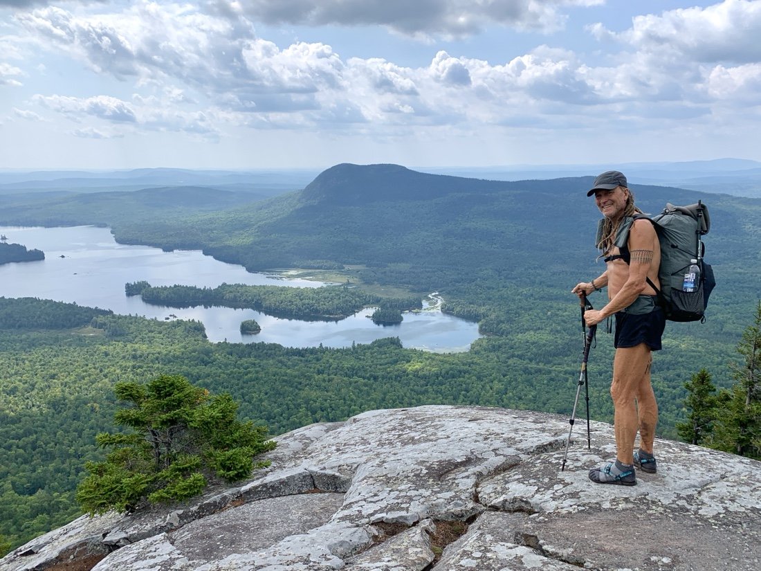
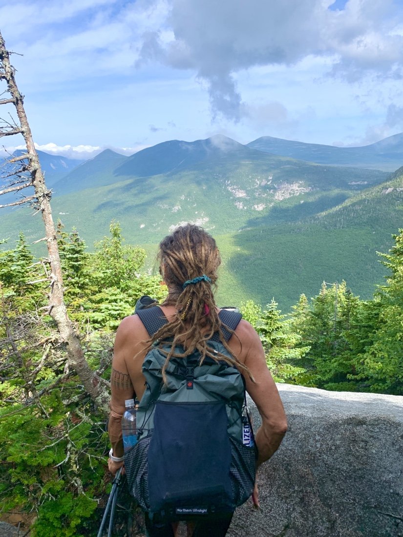
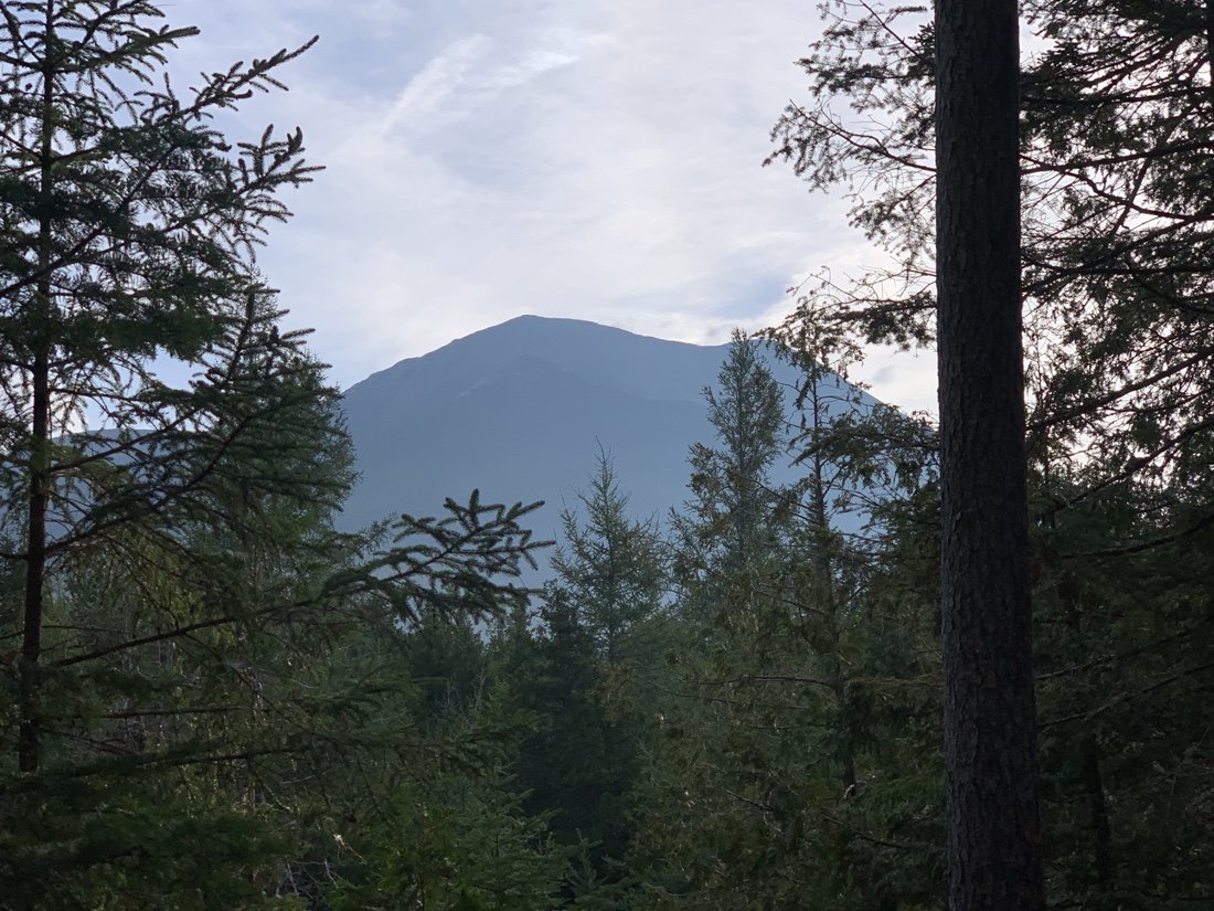
Looking back in Katahdin from a viewpoint on Rainbow Ledges
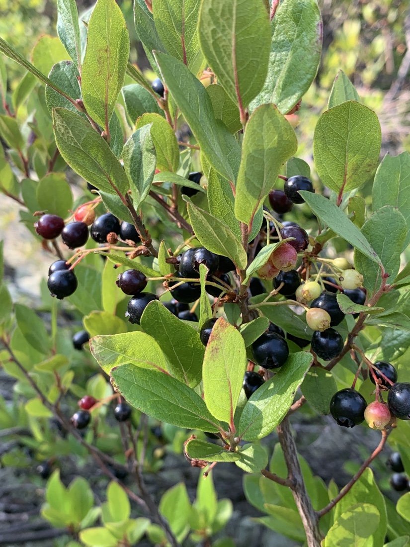
Huckleberries on Rainbow Ledges
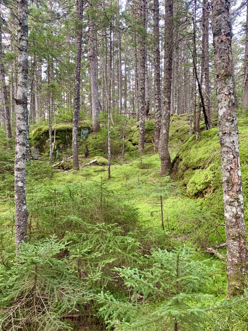
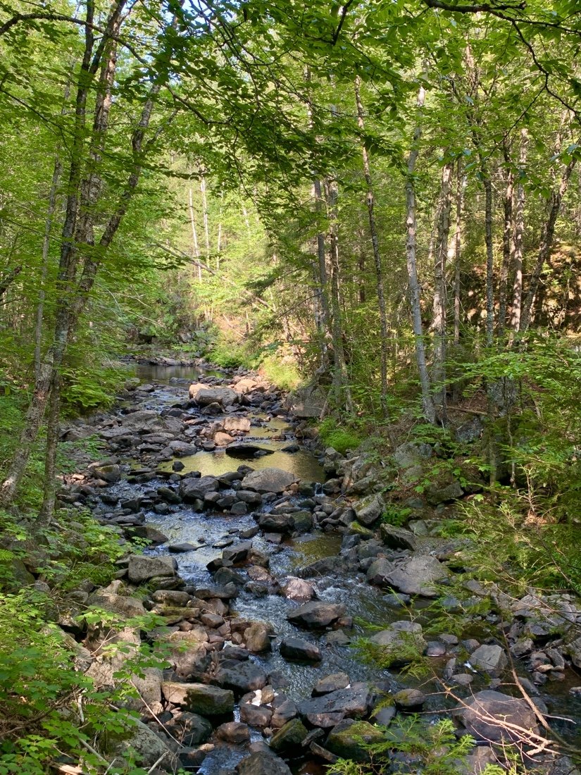
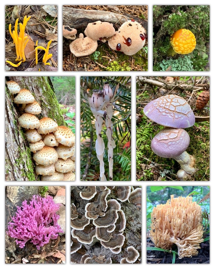
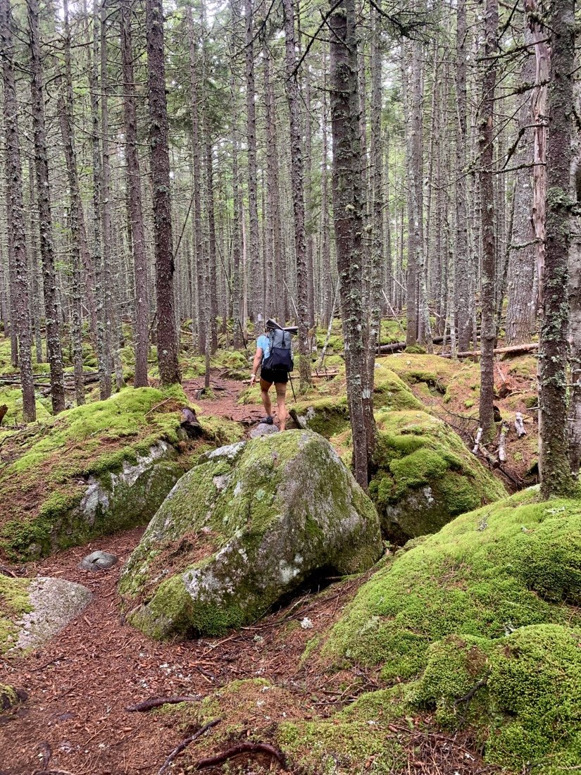
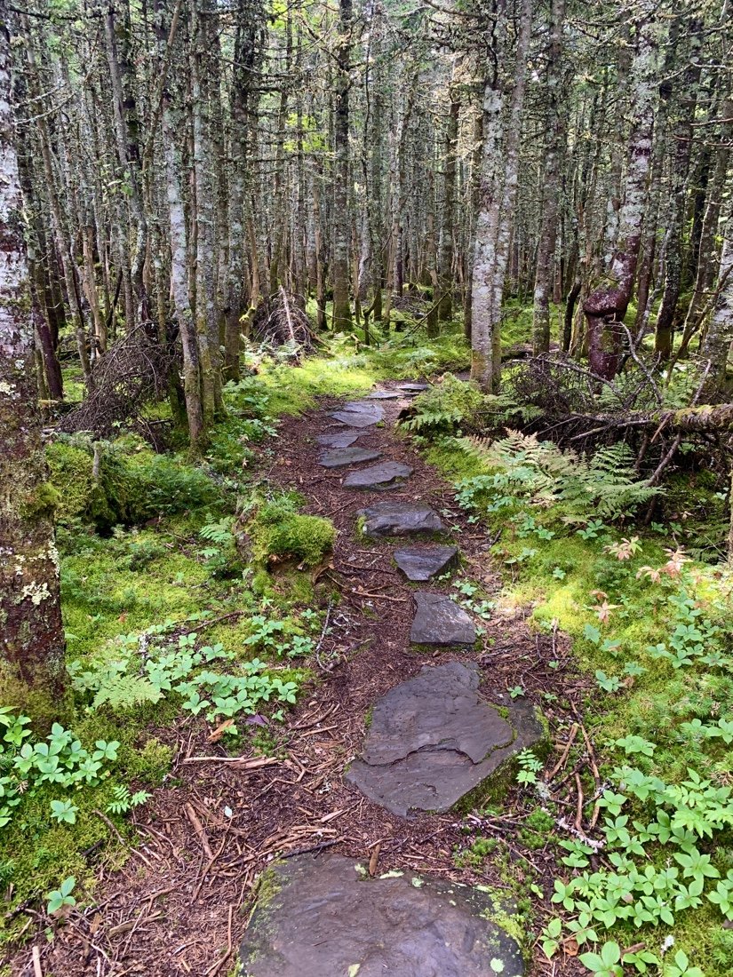
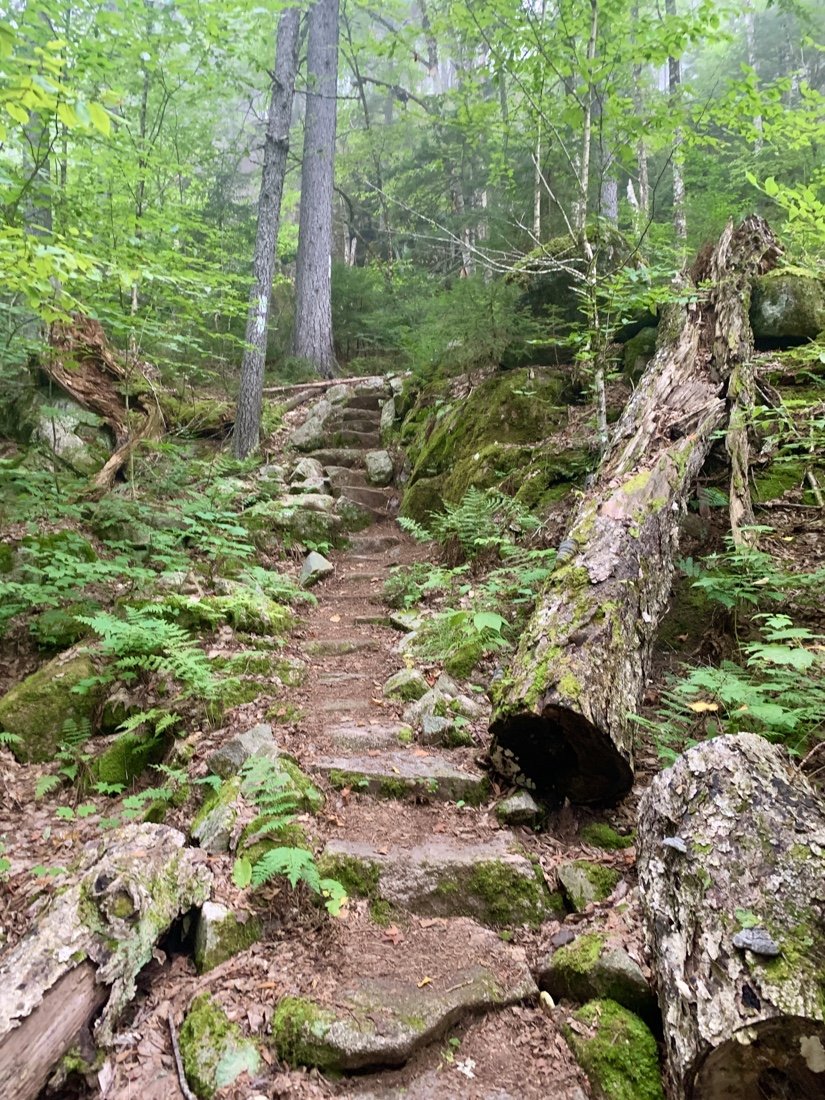
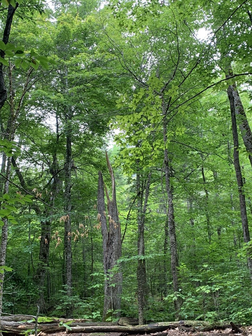
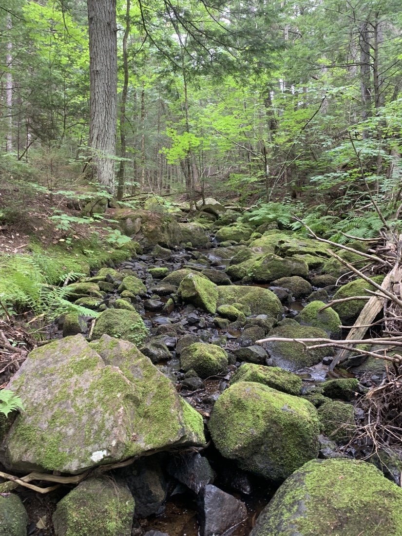
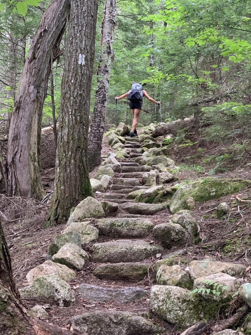
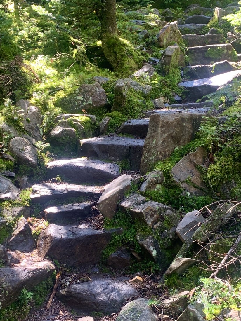
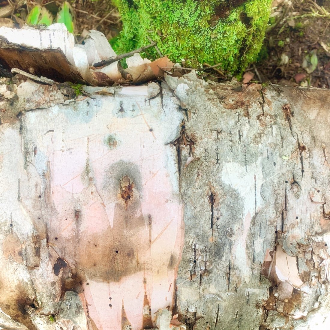
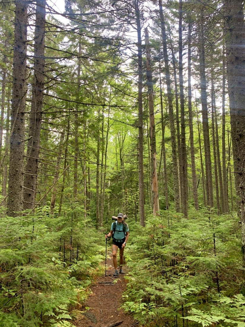
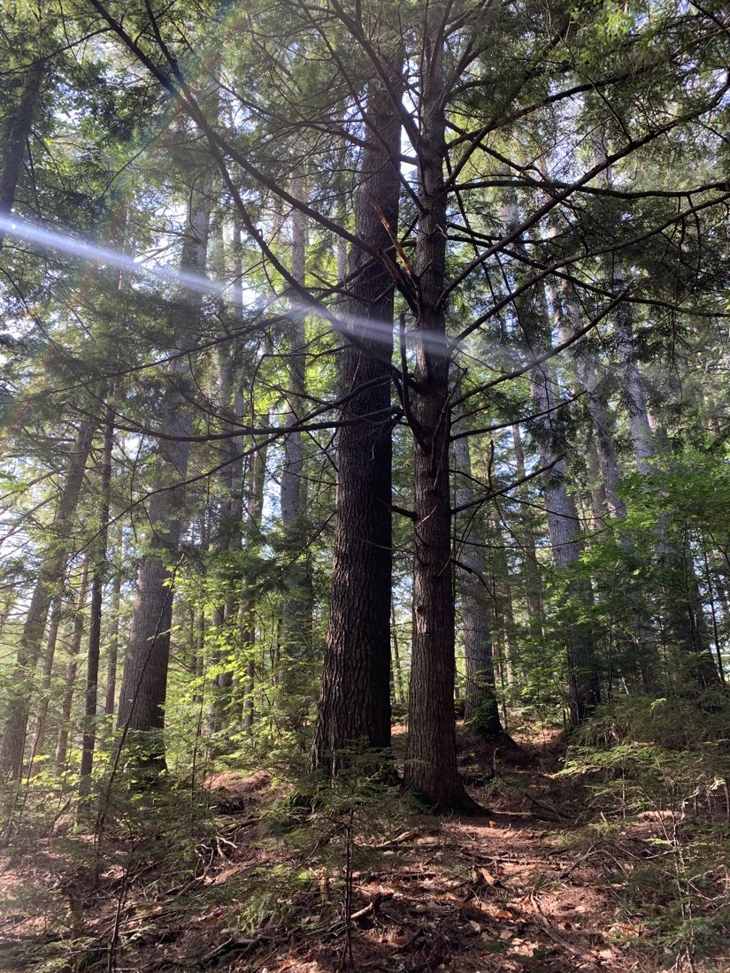
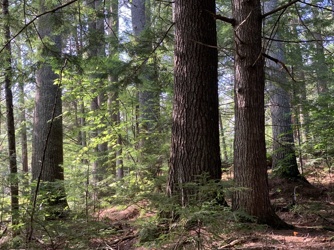
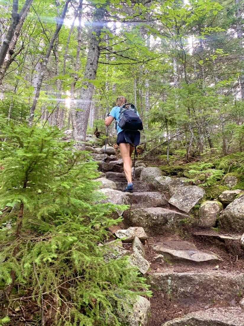
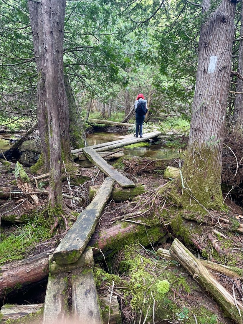
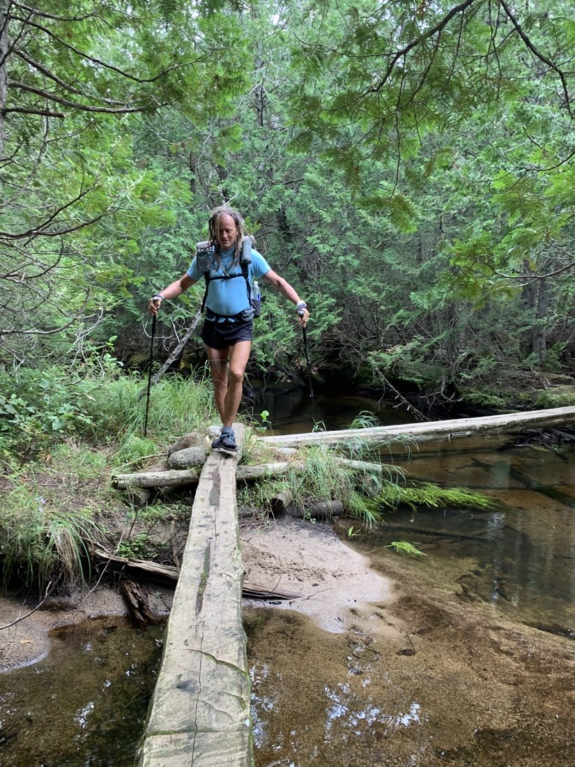
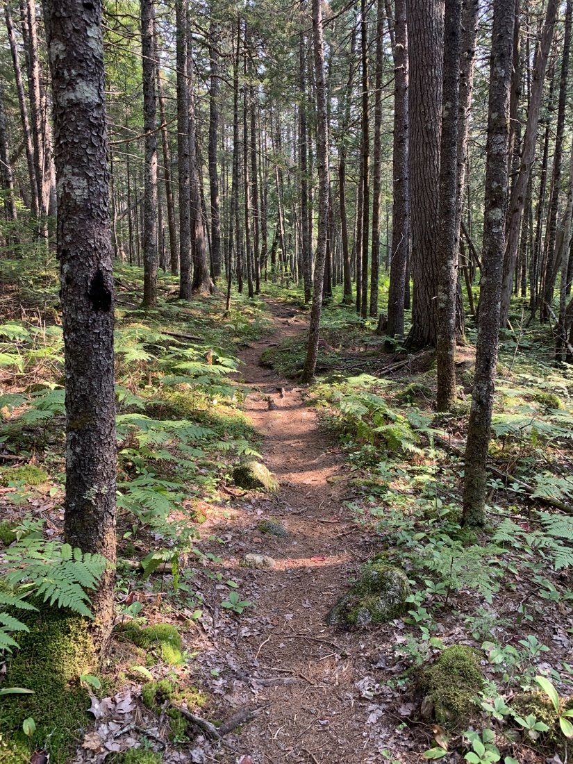
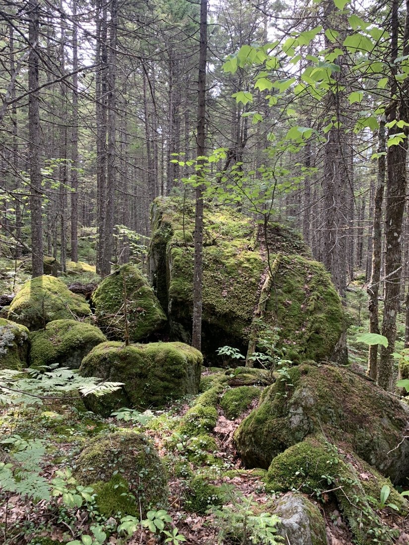
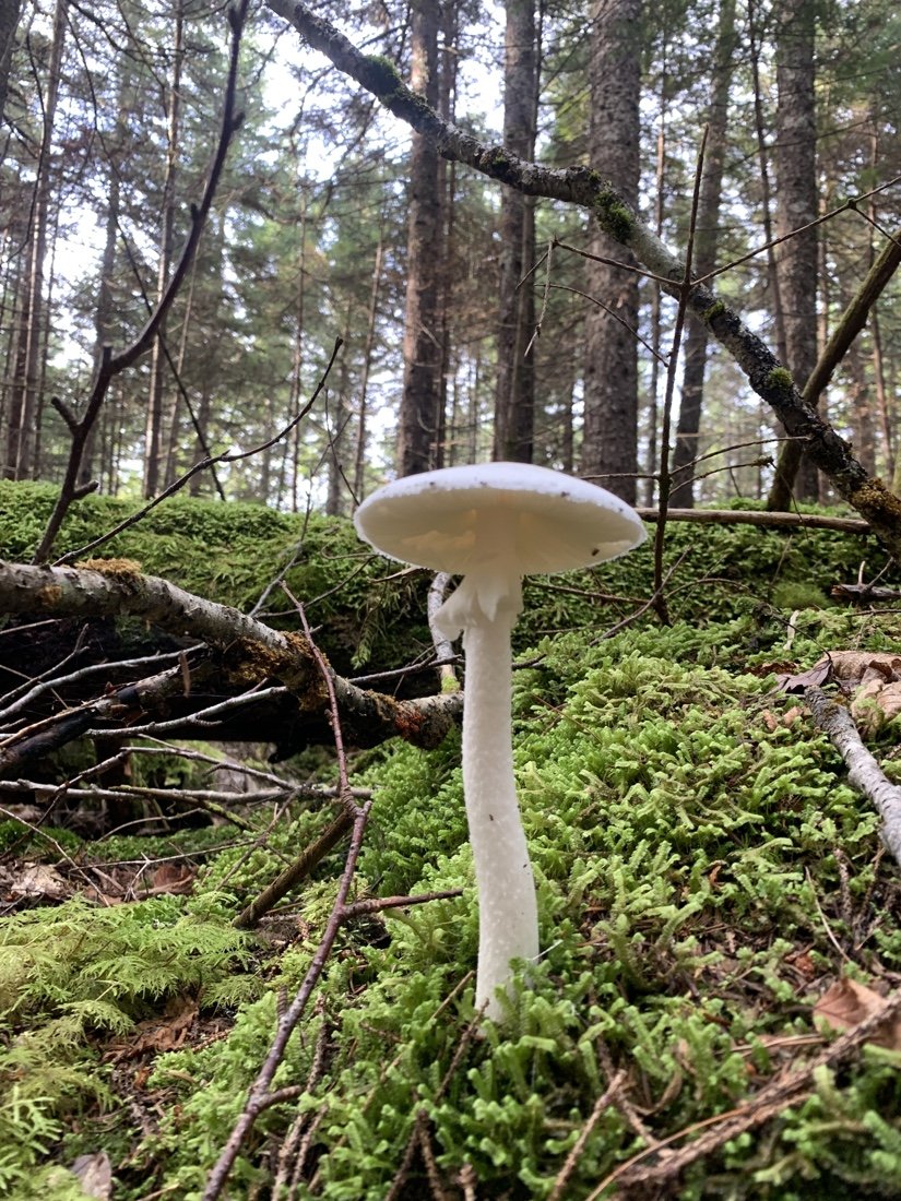
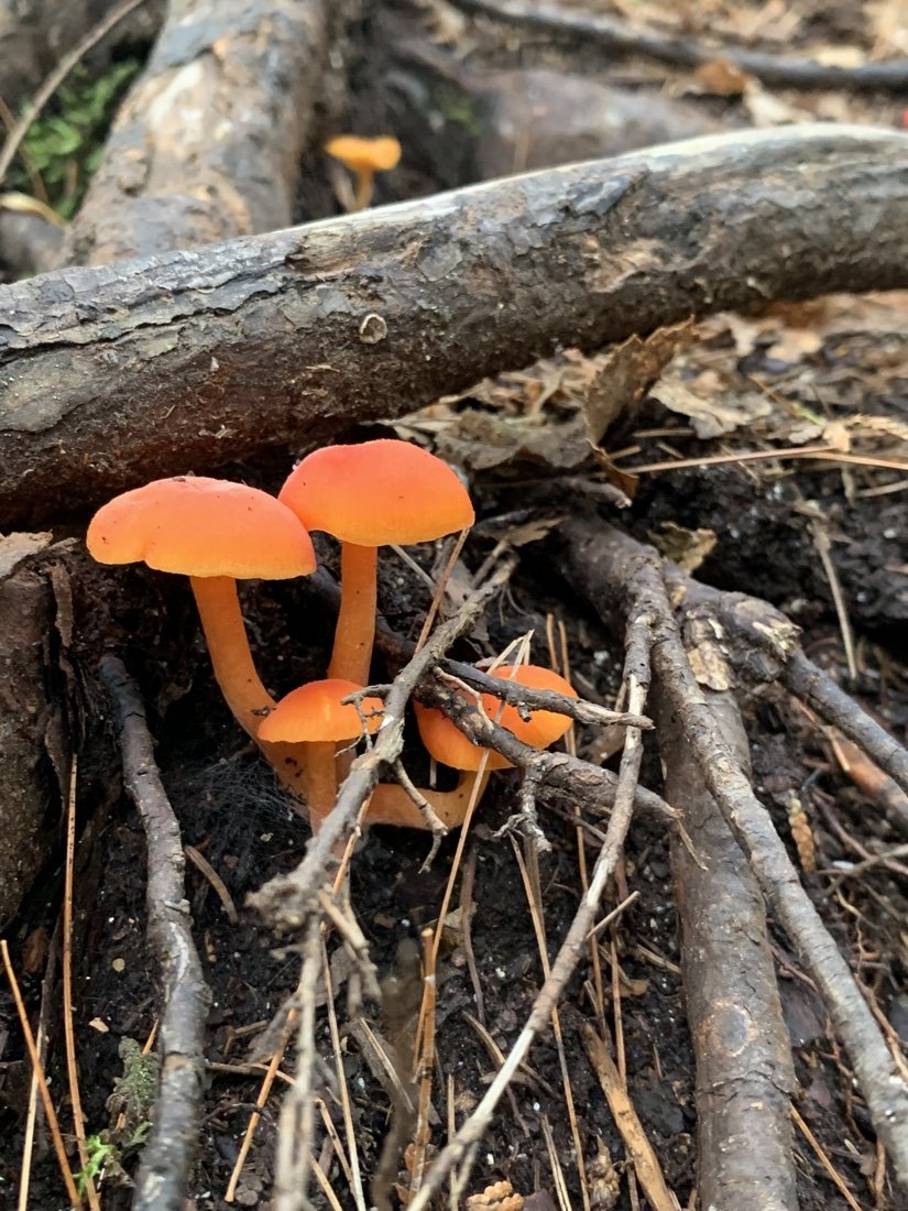
The 100 mile wilderness is old logging land. As someone from the Pacific Northwest, this is the first thing that I notice, and then I notice all the mushrooms, crazy cool mushrooms. There is no sky, just a dim green light. The trail is rocks and roots and mud. My line of sight is my feet, and my goal is to not stumble or trip as I carefully move my feet over, around, and through the maze of rocks and roots. It’s an obstacle course, and the focus it requires is mentally exhausting. The boards over the wet bog lands are welcome—I can just walk across them. I focus on my walking, pausing for a “wow” at house-sized boulders, stacked rock stairs, and everything covered in moss. It’s a bit fairytale-like.
I find myself feeling elated at the beauty and the light in the open woods where I can see off into the distance, and becoming irritable and sad in the woods that are overcrowded with thin trees and undergrowth. I remind myself, with each step, to keep a proper pelvic tilt, to engage my core and glutes in order to protect my lower back and my knees. This becomes my focus, and helps ease how claustrophobic the crowded woods make me feel. I miss the sky, and yet this opportunity to perfect my walking brings me great joy.
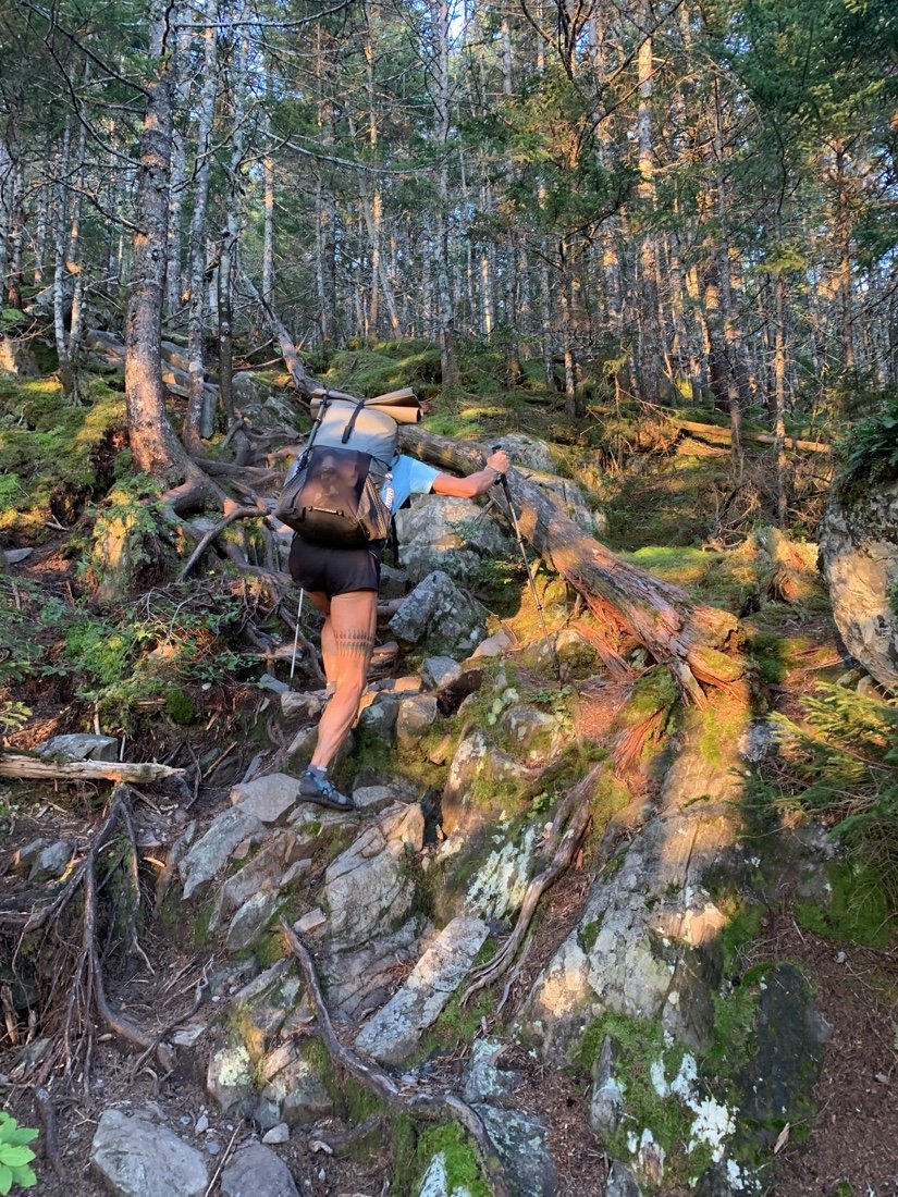
Stacked rock stairs
And this is how the miles pass—I rock the bottom end of my pelvic bone upward, engaging my core and glutes. I feel it working most on the the steep staircases. At one point, where the upper part of the hamstring meets the glutes, it literally feels like a soft pair of hands is lifting me up the staircase. This is when I’m sure I’m doing it right. The words “training for longevity” echo through my thoughts… … …and I’m sure this will be the theme for my next painting series. I can see the shapes and the colors—pale blocks of soft pinks, green, maybe a little raw sienna, and of course black. I miss my studio.
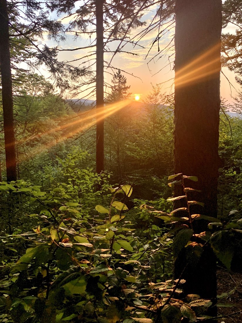
The light is fantastic here, the crazy mushrooms, the lakes, the moss, the boulders, and even all the crazy roots. Focusing on proper walking is helping me to appreciate the beauty here more. When the body feels good, it helps the mind to feel good too.
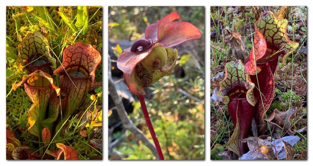
Northern purple pitcher plant
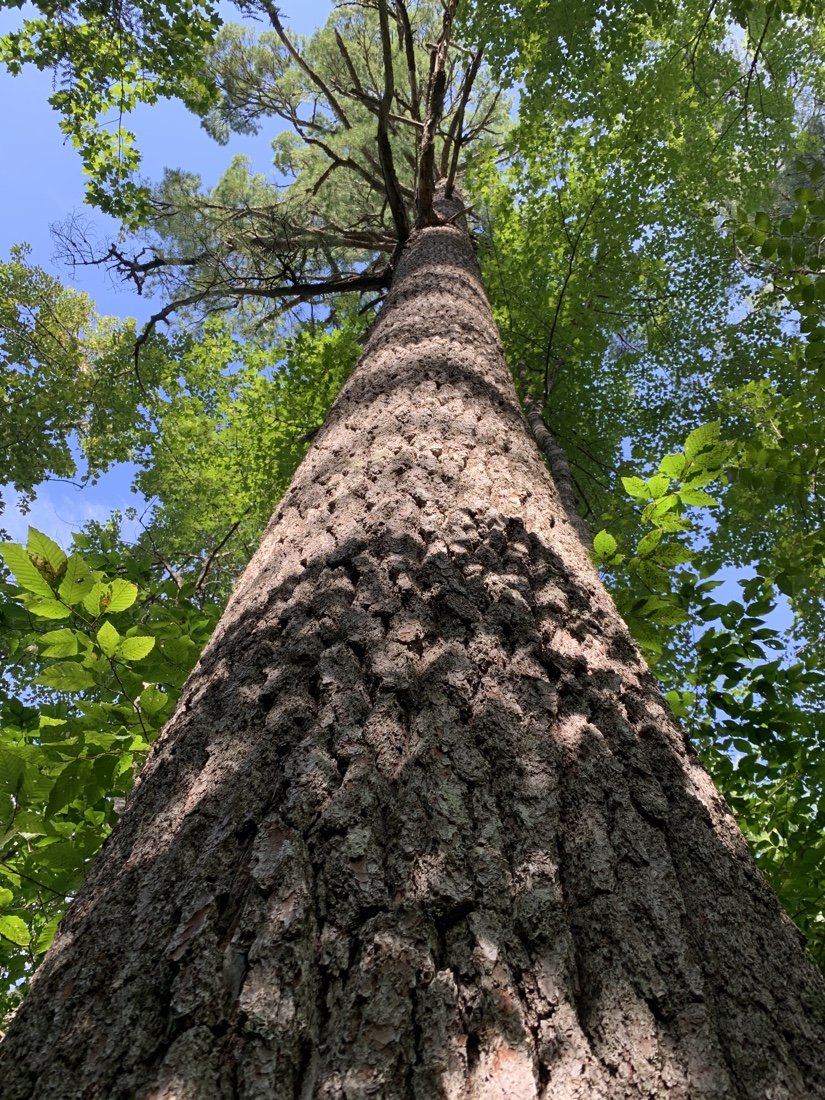
Old growth White Pine in the Hermitage in Gulf Hagas
Old growth White Pine in the Hermitage in Gulf Hagas
Old growth White Pine in the Hermitage in Gulf Hagas
Our morning began at the A.T. Lodge in Millinocket, Maine. I roll out of bed at four-thirty a.m., grab my small nalgene, open my Amazing Grass green powder (with yerba mate) and dump it in the water. Our shuttle departs for Baxter State Park at 6:00 am, dropping us at Katahdin Stream and the Hunt Trailhead to summit Katahdin. A bit of paperwork to get our permit, and off we go…
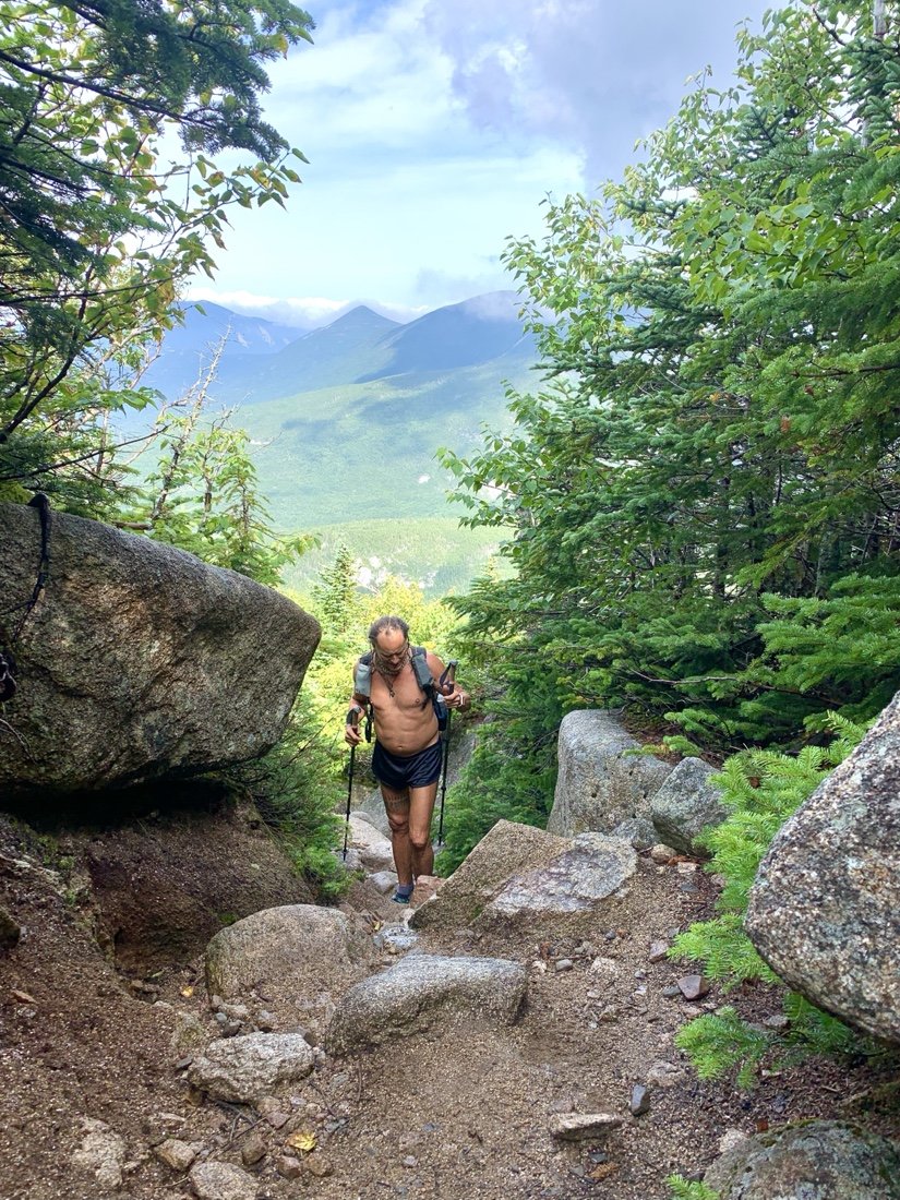
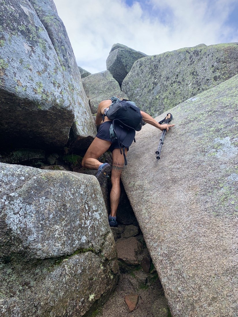
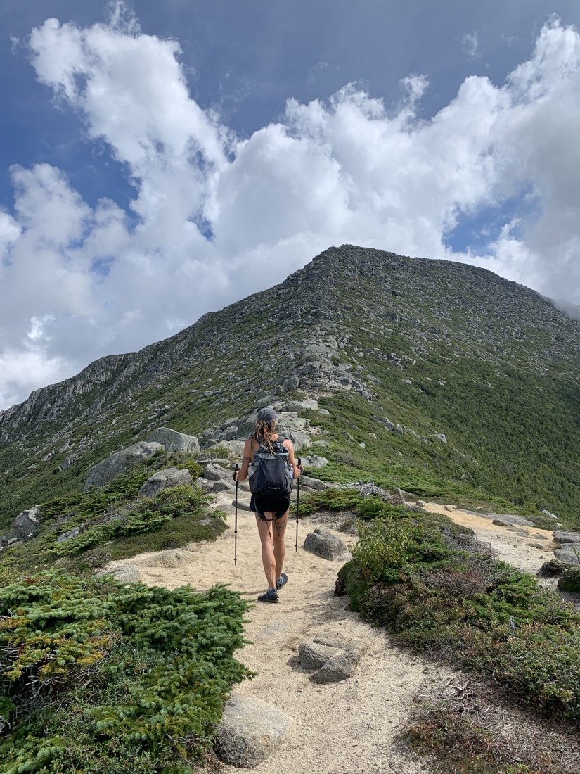
The Hunt Trail starts out in the forest, overgrown with moss and ferns, lichen and fungus. Everything is wet. The ground is saturated, sometimes water running down the trail. It’s steamy, so humid. The forest slowly gives way to large granite boulders. High steps, scrambling, and a bit of hand over hand, until the mountain comes into view.
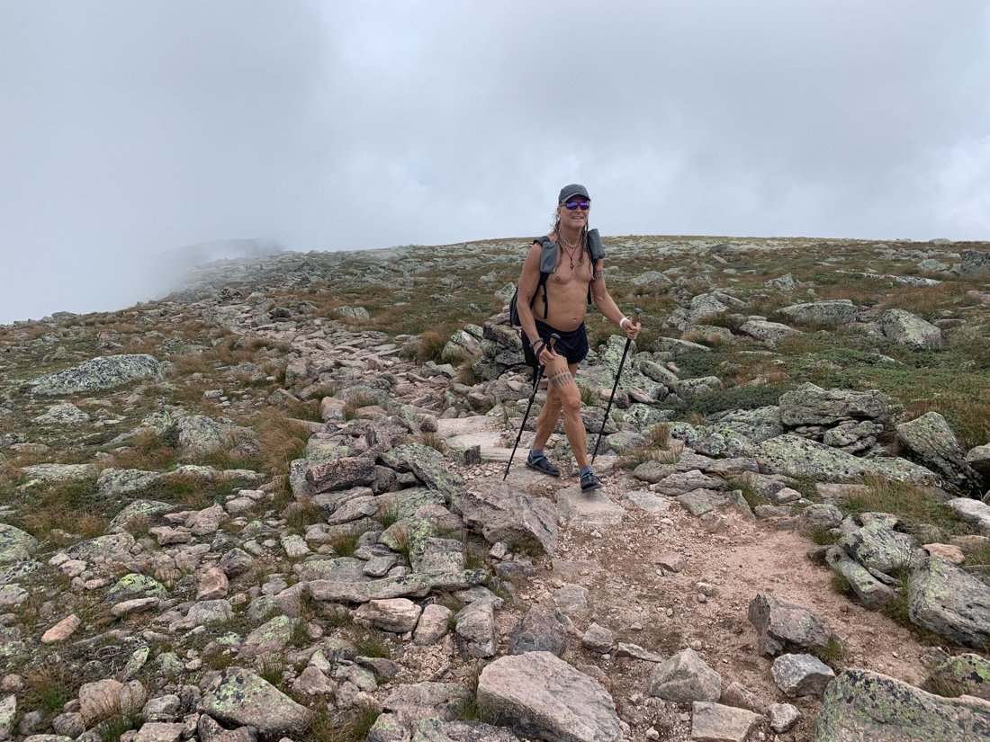
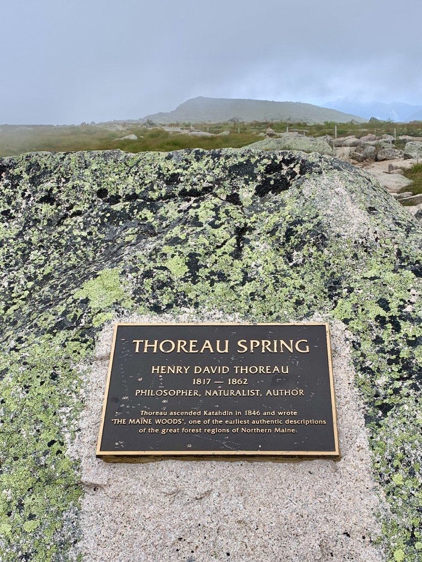
We reach Thoreau Spring and stop to rest. A hiker comes in from a different trail. He’s also wearing sandals. This is always a conversation starter. He’s wearing a running vest, so Neon asks if he’s running the trail. He says he does run trails, but not this one. He didn’t start running until he was 63. He’s 82 now. We can’t help but look amazed, because he’s in such awesome shape, and doesn’t look anywhere near 82. We chat about strength training, building core and glute strength to protect the knees and back. He tells us about a thing called “toe pro” that he uses to strengthen his feet and ankles, and comments that it’s an interesting thing “training for longevity”. We all nod in agreement. Training for longevity… This resonates deeply with me—learning and relearning how to be healthy—how to work with my broken parts to be stronger.
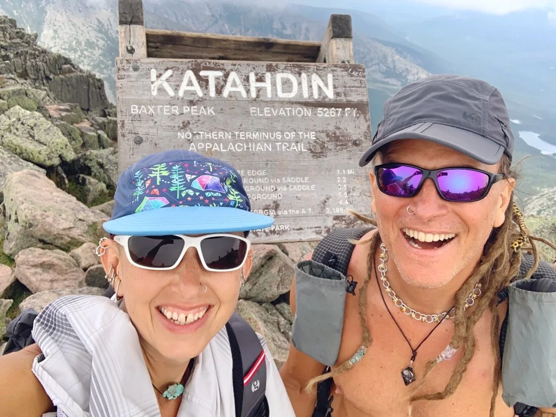
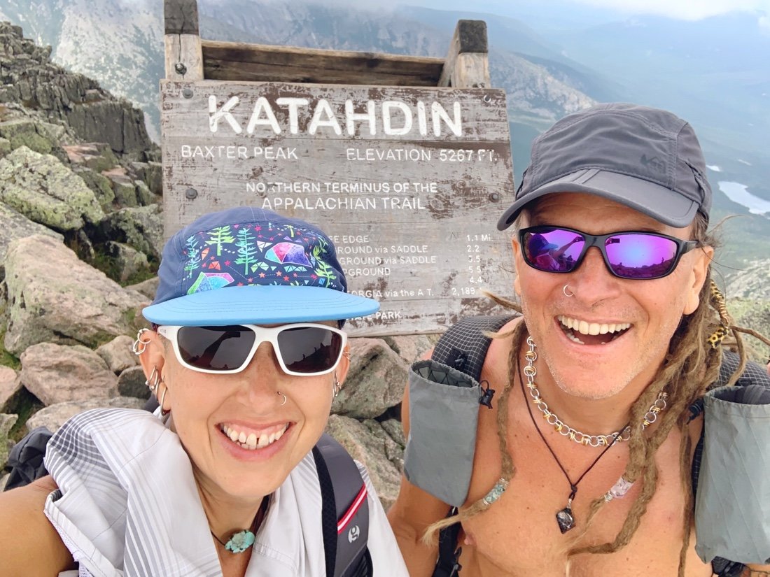
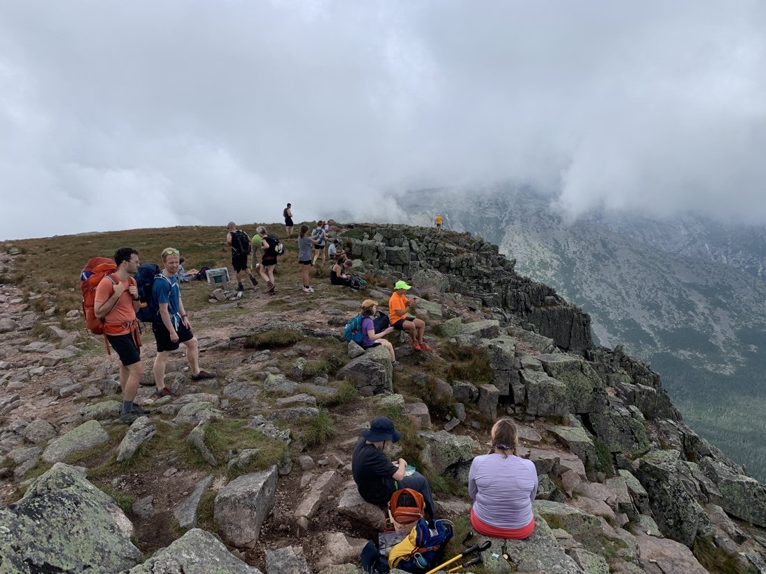
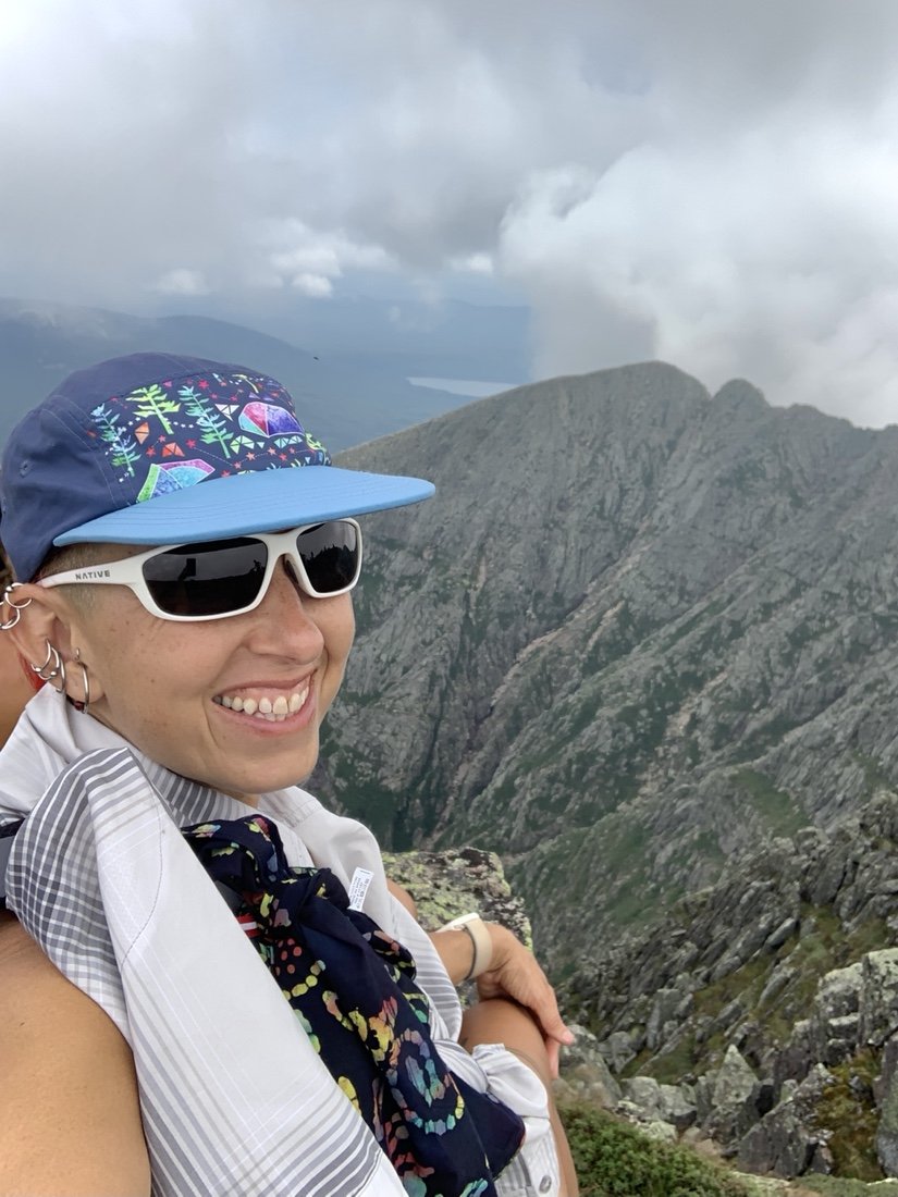
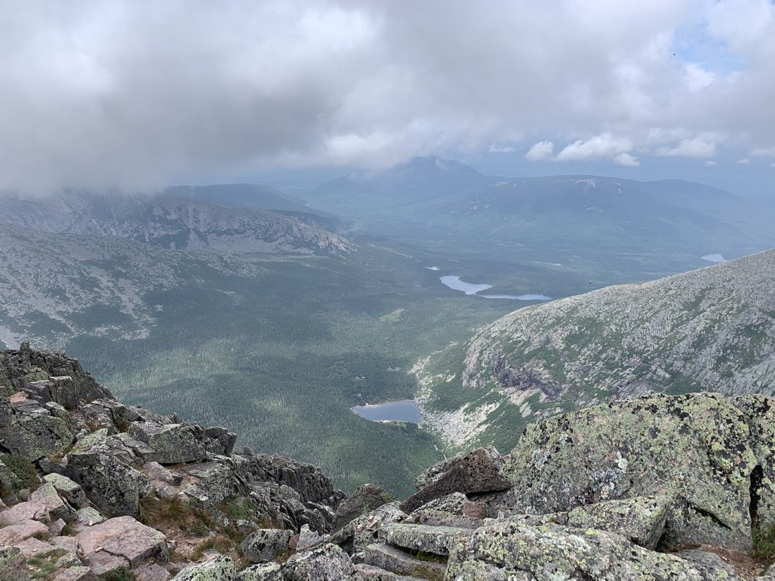
Another mile leads us to the summit of Katahdin. I’ve been here once before, up Pamola Ridge and the Knife’s Edge. It’s a spectacular mountain. And so our A.T fall color hike begins—training for longevity.
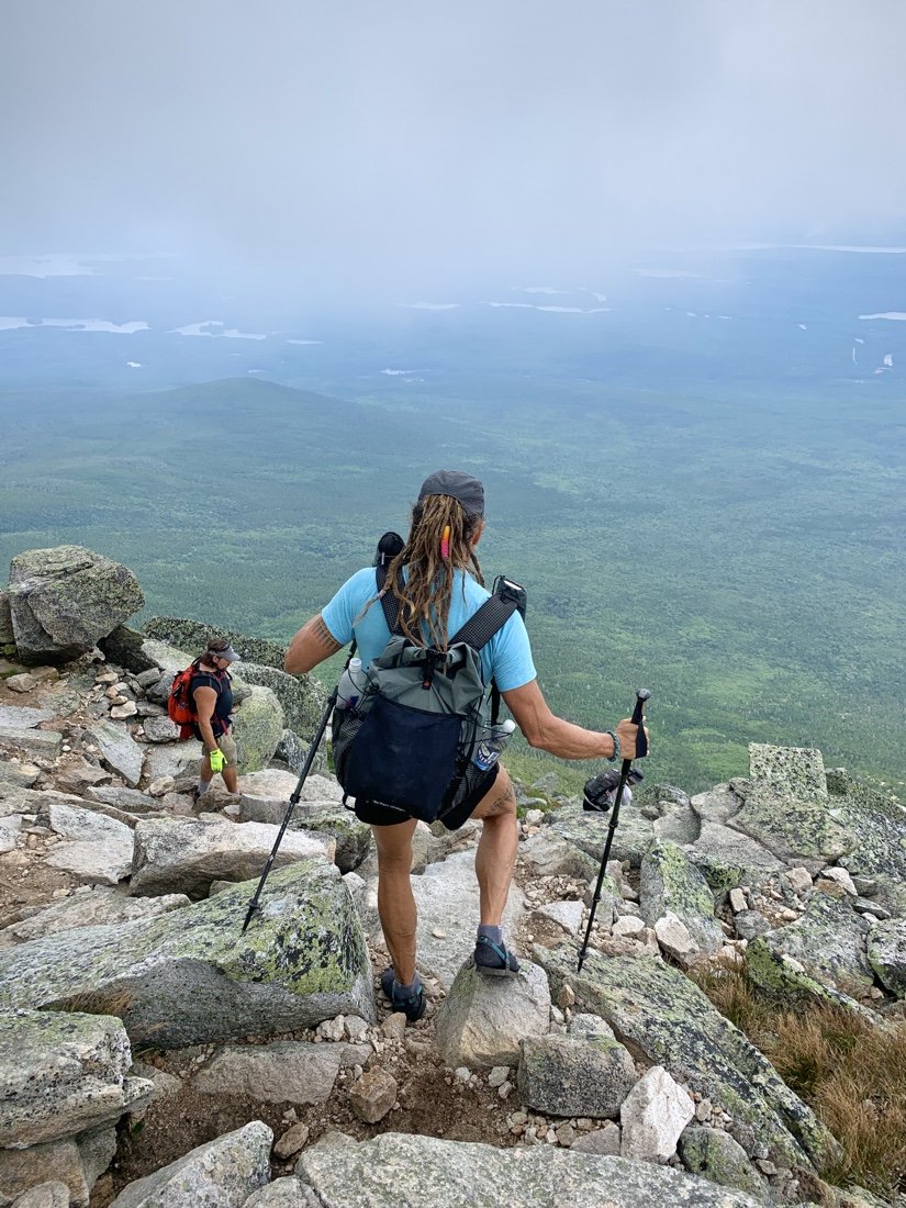
Our camping reservations were at Abol Campground, so we descended Katahdin on the Abol Trail, retrieved the rest of our hiking gear, and met up with friends. A few more miles the next day led us out of Baxter State Park…
View of Katahdin from the last few miles in Baxter State Park.
From highway 89 we dropped into upper Buckskin Gulch. We hiked on and off with Wolverine (Brian). The heat is really kicking in now and rest breaks become timed by the availability of shade. Heavy packs weigh us down in the heat, carrying a lot of water, and having brought extra food on this section to add to our next section. We decide to stop early so we can camp before entering the permitted area of Buckskin Gulch.
• Tamarisk, in bloom •
We chat for a while with a BLM ranger about all manner of things—big adventures, coronavirus, the president, cows and the invasive plant species they bring with them. He tells us how great it is that we’re out roaming the wilds during this time, a great way to be socially distant. The evening brings little biting flies. We’ve been wearing our headnets more and more in the evenings, especially for cowboy camping.
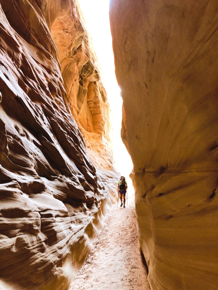
In the morning, we stop at the permit pay station at the Buckskin Gulch trailhead. The wash opens into a big meadow surrounded by smooth and wavy red rock, much different than where we had entered the gulch from the highway. After a short while the meadow narrows and the sandstone deepens into a slot canyon. These slot canyons feel like being wrapped in the arms of the earth surrounded by warm light. We exit Buckskin Gulch at Wire Pass, a very skinny exit point. And a very busy entry point for most folks, the most people we’ve seen this entire hike. It’s a bit of a shock to see so many people.
• these flowering bushes smell like a floral lotion •
At the State Line Campground we meet up with Slingshot and Clementine (the hikers that gave us such great trail magic way back at Burr Trail Rd). We eat watermelon and chat about all things trail since we last met.
• Mariposa Lily •
• looking back at Utah toward Wire Pass •
In the heat of the afternoon we set off to climb the bench up to the Kaibab Plateau, this part on the Arizona Trail. It’s nice to be on an actual trail again. The miles ease by. We get water at the wildlife guzzler and find a nice place to camp atop pine duff in the forest. I slept hard, cradled in the arms of the forest. It feels good to back in Arizona. Places are funny the way they get under your skin. How do they feel so different, one from another, just a few miles over an imaginary line? And yet somehow they do.
• so many flowers blooming! •
Another day of forest walking, a valley of sage, big clouds, a few drops of rain, a few cyclists, and a night of rain—we arrive at Jacob Lake just in time for breakfast. We meet several Arizona Trail hikers nearing the end of their thru-hike. It’s so refreshing to talk all things trail with other thru-hikers. We check into the hotel and spend the rest of the day doing sink laundry, eating, and resting up for the next section. We leave Jacob Lake with ten days of food; unsure of how long re-routing around the Grand Canyon will take.
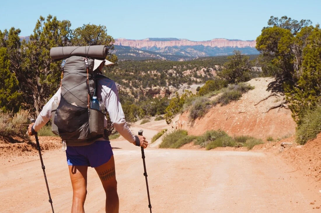
After the Paria, we had a long road walk, following Willis Creek to higher elevations, with views of the Bryce Canyon cliffs in the distance. It was hot, the miles dragged by in the heat of the afternoon. Tall trees shaded us by the evening. We camped on the rocky banks of Willis Creek, its waters still flowing orange. It feels very different to fall asleep in a forest, the fading light and emerging stars filtering in all around through the trees. The world feels bigger above ground, out of a canyon—the views, the sky, everything—my thoughts and dreams more expanded with a feeling of “anything is possible”.
In the morning we followed old logging roads through Dixie National Forest, reaching an old trail by second breakfast that skirted the border of Bryce Canyon. There was a bit of crawling over logs and landslides, as the trail seems unmaintained, but soon improved into a beautiful forest walk with the orange cliffs of Bryce coming in and out of view. The cliffs glowed in soft shades of orange and pink, as if they were lit from the inside. By late afternoon we were back in the deep forest heading south again.
• old logging road in Dixie National Forest •
• an old tree stump logged long ago •
• horned lizard •
• collecting water from a small trickle •
This route zigzags around so much—each section is its own—there’s no feeling of progress in a forward line. I never really feel like “the end” is drawing closer like other long trails. It’s much more like getting to know an area, all the secret nooks and crannies, like getting to know a person—there’s always another surprise around the corner, but you never feel like you’ve got a whole picture. And yet, there is still a sadness that is setting in—the kind where I wonder if I’ve really appreciated the experience—was I really being present, or am I just getting lost in the motions of moving forward.
• entering Bullrush Gorge •
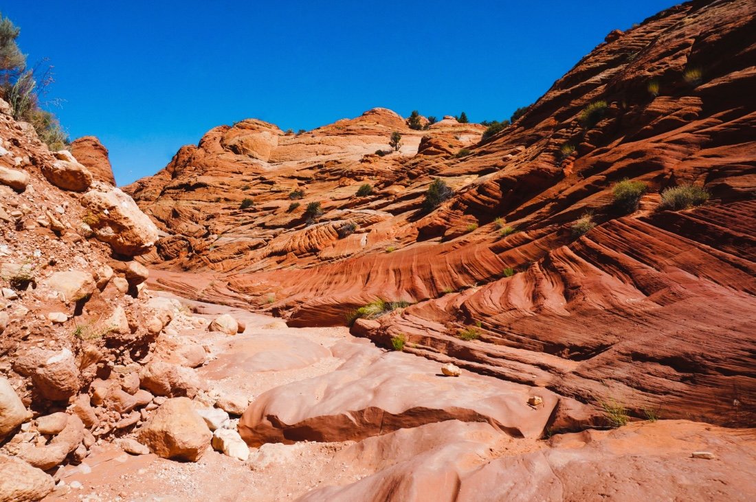
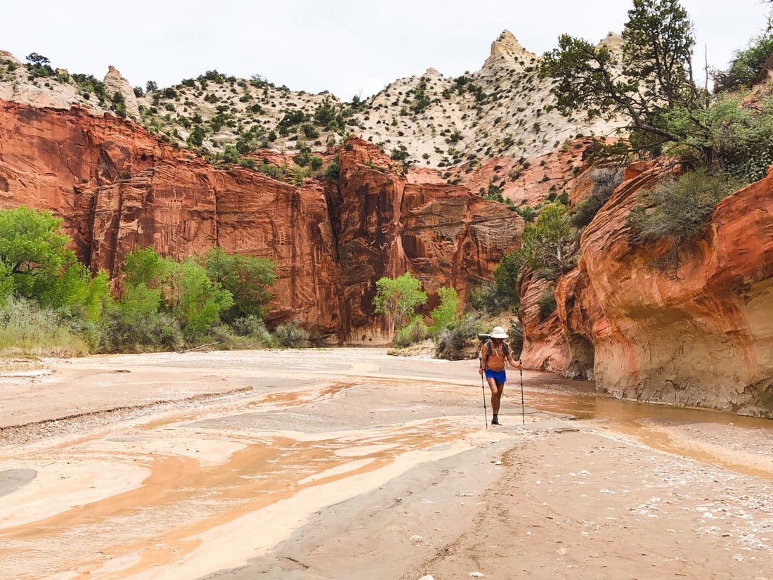
The next day we dropped into Bullrush Gorge. It reminded me a little of the cliffs in Linville Gorge in North Carolina. Places are funny that way for me, always reminding me of somewhere else I’ve been. From Bullrush Gorge, we turned into Park Wash. maybe it was the name, but I wasn’t expecting much, other than maybe sand, a lot of sand. And that there was—a lot of sand. But it was stunning, big cliffs, color, waves, texture. I was mesmerized by its beauty. It held my attention all the way to the highway.
• Adam’s Spring •
• The “White Cliffs” in Park Wash •
• On a late afternoon break I made friends with this beetle, sharing one of my pepitas with it. I accidentally dropped the pepita right in its head when I was trying to set it in front of the little fella. It shook its head for a moment, then proceeded to feast on the pepita. It sat there the whole break chewing on the pepita I had given it.
• Bull/gopher snake in Park Wash. I’ve been seeing more snakes now that the weather is getting hotter. •
• old wheels, perhaps once part of a pulley system, at an old mine in Park Wash •
We definitely hit the reset button in town, taking a triple zero—so much time in bed that my muscles grew stiff. I ate too much. I think my stomach has shrunk, eating only a handful of nuts at time on my backcountry snack breaks. I’m not sure cooked food agrees with me anymore, or maybe it was all those carbs in the pizza I ate. When we made it back to our route, the heat was oppressive and my muscles were cranky. I felt sleepy in the sun, but my spirits were high. I was excited to be back out in the wild. Rest is an important part of adventuring, and I’d forgotten just how important until these last couple of weeks.
•
The start of Round Valley Narrows slot canyon
•
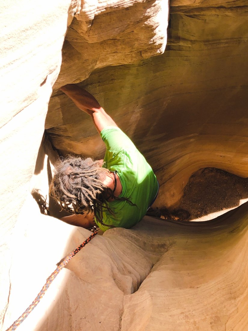
We were heading down Round Valley Draw by early afternoon. The sun was high and hot—a perfect time to drop into a deep slot canyon. There was a rope tied to a chockstone that we used to lower our packs. Neon climbed down the chute first, then I followed behind. It was like entering another world, an underground world. The light slipped in through the narrow slot overhead, reflecting and dancing around the wavy curves of the canyon walls. Water is one of earth’s best sculptors.
After a couple of miles, the narrow slot opened up into Hackberry Canyon. It was still early, but I was so sleepy. We found a soft patch of sand, out of the creek bed, and set up camp. We were asleep before six o’clock. A long, deep, sleep followed, like only the backcountry can bring. I had strange dreams and woke to a sub-freezing dawn.
•
Pastel colored rocks in Hackberry Canyon.
•
•
a bit of Alpenglow from camp •
We spent the afternoon walking through deep sand, and shallow water. The canyon walls changed from pale yellow-tans to reds. We followed cow tracks along the creek, passed an old cowboy cabin, wandered through sage and cottonwoods, and camped on red soil between cactus and sage. The ground was hard from dry clay, and lumpy from cow tracks. A bee buzzed up and down and back and forth around our camp. We wondered if perhaps we were blocking its path in some way. A chorus of frogs sang through the night.
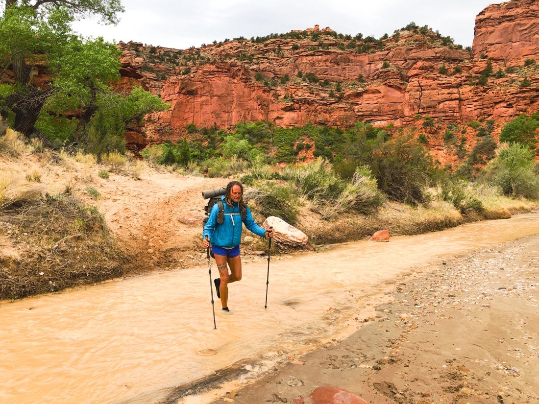
We made our way down the creek, through cottonwoods, to the end of Hackberry Canyon and to the Paria River canyon. The wind whipped through the canyon, the cows stared at us, sounding in a low, deep, moan as we approached. Their voices echoed off the canyon walls like ghosts lost in time. The canyon sides were shades of red, and the riverbed white with thick alkaline salt crusts. We crossed back and forth over the muddy Paria River, walking its banks of mostly firm mud. The afternoon grew hot with pesky flies, occasionally swept away by the wind. Up and down cattle paths, along the river, hot winds, and cottonwoods.
•
entering the Paria River canyon
•
We collected slightly less muddy water from Kitchen Canyon Creek. It was heavily guarded by cows. They moaned at us as we approached, running upstream, turning to see if we were still there, then stopping for a stare down. I moaned back, and told them they could have all the water in the Paria, but we had to share this water. They disappeared through the brush and trees. As we made our way back to the Paria, they came out of the trees ahead of us, turning and sounding in their deep ghostly moan again, then running off up river. We found a sandy patch under the shade of some cottonwoods to camp. The frogs started early—an evening lullaby that always sends me softly off to sleep.
•
Kitchen Creek. You can see the cows, upstream, in the trees. •
The morning brought more of the same—red canyon walls, river crossings, sand, firm mud, flies, and wind. We came upon the same group of cows. They would stare, and give us their deep bellowing moan, then run upstream. A little while later, we’d see them again. This repeated several times through early afternoon, before I decided to give them a “woohoo” in a soft, slightly high, feminine tone, like I was singing, instead of calling back to them in a deep moan like their own. They stared at me, shifting their feet slightly, here and there taking a step backward or sideways. But they just stood there, staring, instead of running off ahead of us. We passed, and they stayed put this time. That was the last time we saw them. I wondered, was this the end of their route, or did my woohoo mean something to them.
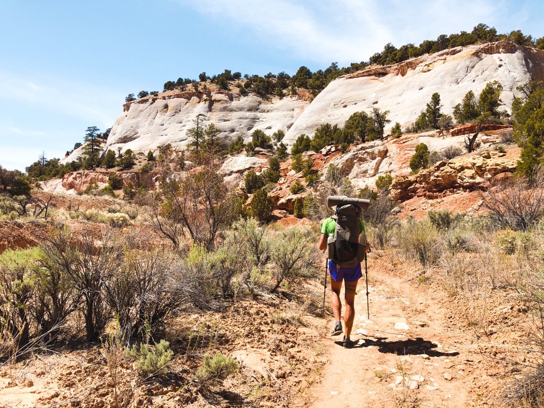
We turned into Sheep Canyon, its walls smooth and a pale yellow-tan. Its creek ran orange, heavy with clay. We left the cottonwoods behind and emerged into a pine, fir, and juniper forest. The tall walls with these trees reminded me of the Sierras. A mountain lion’s tracks crossed the creek, huge prints in the mud. I felt as though I’d been transported. Each canyon can be so different out here.
•
the orange water is flowing in from Sheep Cr
eek.
The muddy brown water is the Paria River •
We camped in the shade of a big wall, junipers to my left on the sand bank, fir and pine to my right high on the cliff walls. Beltane eve—we cheers’ed over a little gin, in this wild place, a yellow alpenglow lingering on the cliff walls. The frogs began their calls as the sky grew dark. I tossed and turned, thinking about those mountain lion tracks. When I woke to pee there were so many stars in the sky it seemed unreal, like one of those long-exposure photos. I looked up to the other side of the cliff—just then a bright white streak traced along its edge, flaring into a bright green flash. I heard myself let out a loud and astonished “Woah!” I crawled back into my sleeping bag, still tossing and turning, looking up occasionally to watch the sky. The Milky Way seemed to grow thicker and more dense through the night. Peering up through canyon walls at the night’s sky has been a real highlight on this hike, or maybe it’s just southern Utah, but one things for sure—the skies are different out here.
•
our camp in Sheep Canyon •
We crossed Willis Creek first thing in the morning. Its waters flowed orange into Sheep Creek. Upstream of Willis, Sheep Creek ran clear. I wondered if Willis Creek was flowing orange from snowmelt off the cliffs in Bryce. We made it to our food cache by second breakfast. It was May Day, one of my top favorite holidays, and what better place to be than out here with all this beauty, and a fresh resupply of food!
I find myself much more relaxed at this point in the route, ~four hundred miles from where I began. I have no worries about water, or where I will sleep. I’m comfortable squeezing a few more days out of my allotted food rations. I’ve even come to dance across scree and cross a river with little contemplation. The wilds of this earth have always been my first home. I wander from them sometimes, but I always return.
This is the third section in a row, back to back, going from one buried food cache to the next, without a town rest (and a lot of eating) in between—that’s seventeen calendar days passing by between towns. We’ve had some sweet trail magic, but man, I have veggie pizza on the mind, and coffee, I want good coffee. We are strong, but our reserves are low.
We packed up and set off to climb up Fiftymile Mountain. The clouds were puffy, and their undersides slightly pink, reflecting the red earth below. The rain started before we reached Mudhole Spring. We filled up with six liters of water, more water than I’m comfortable carrying, especially with five and a half days of food in my pack. It started hailing. We set up camp near Monday Canyon, nestling our tent into the junipers and sage. The sun came out long enough to dry a few things before crawling into the tent.
It rained more in the night. We weren’t feeling enthusiastic. Sticky mud, heavy packs, and we knew the hard work that lay ahead. We had hiked this section last year, and the hard day of bouldering ahead of us weighed heavy on our moods. The extra water weight in my pack was causing a pain in my right shoulder that, between it and the icy cold morning, was nauseating. I had to stop. After a short rest everything was fine and my pack felt fine. A few minutes later I found a piece of pottery, one of the coolest I’ve ever found. It was decorated with black paint. My mood lifted. How cool. I’ve found so many cool things on this hike.
• Broken piece of pottery, decorated with a design in black. •
• The easy part of Monday Canyon, before the intense bouldering began. •
I came to realize, somewhere near the end of Monday Canyon, that it wasn’t so much the hard work of the bouldering, or the willows in the previous section, that was causing our bla moods and waning enjoyment, but the lack of town rests and town food we weren’t getting between route sections. Our food caches have great nutrition, a high amount of healthy fats, good protein, greens, and sufficient calories, as well as a few snacks to eat while we unpack the cache and repack our trail food. But walking all day long, day after day, is draining on a very deep level, and that’s when there’s a good trail involved. The Hayduke is rarely on a trail, and only occasionally on dirt roads—it’s a hard route, primarily all cross-country, involves a lot scrambling, and is more physically draining than any other adventure I can currently remember.
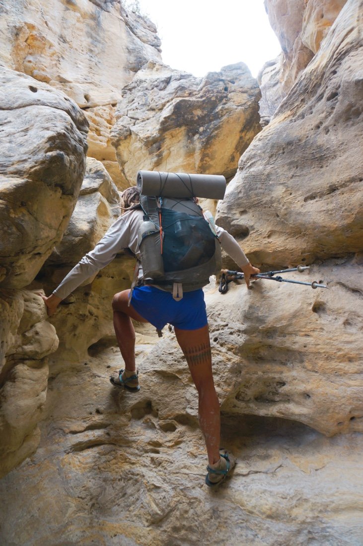
We made it through the boulders in Monday Canyon, and the first couple of miles (and more bouldering) in Rogers Canyon before setting up camp. And now when I say boulders, I don’t mean the ones you see us hopping over in the photos. No, Monday Canyon and the first half of Rogers Canyon require incredible effort, going up, over, and around, huge boulders—sometimes with climbing effort and sometimes requiring detours around the canyon walls, or climbing up the cliff side to higher ground and following cattle trails around areas that are impassible.
• break time, on a cliff above Monday Canyon. •
• Starting down Rogers Canyon. We followed flowing water most of the way. •
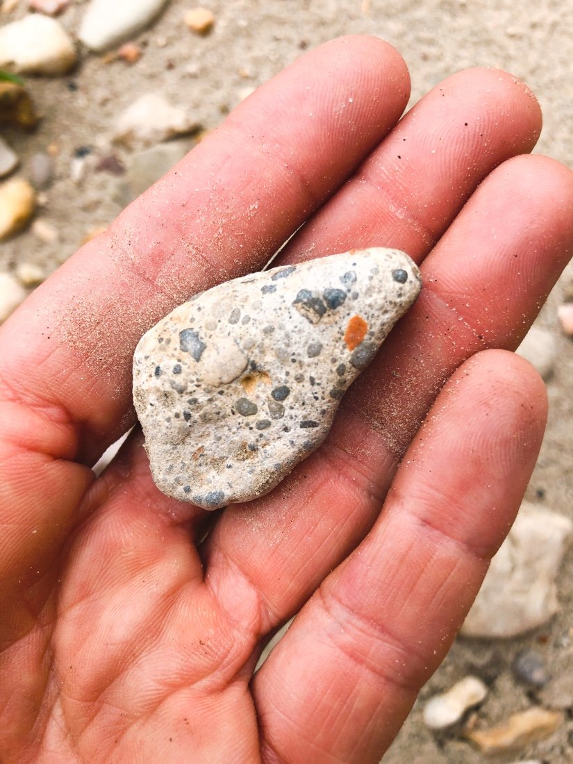
• Shell fossils in a rock in Rogers Canyon. •
Rogers Canyon is an odd one. It’s really more of a giant erosion gully—piles of eroding sand and rocks and boulders, churning and tumbling in a chaos of constant change—but it’s full of life. Frogs and crickets, grouse and quail. There’s something special about it that I can’t put my finger on.
• Tadpoles in Rogers Canyon. •
• Our camp in Rogers Canyon. •
We camped on the same island of earth between stream trickles that we did the previous year. We washed up in the stream. I washed my sun shirt and set it out to dry in the wind. Little flies attacked our eyes and ears. Neon wore his head-net while he ate dinner. There’s a funny magic here I find comforting. I slept hard, dreaming of my mother again. I got up to pee in the night. The stars were so bright and so thick, the milky way stretched from canyon wall to canyon wall. A chorus of frogs and crickets filled the air.
We made it to Navajo Canyon, at the edge of the Burning Hills Wilderness, by second breakfast. Navajo Canyon is my favorite Canyon in this section. It’s moody and mysterious—filled with a rainbow of rocks, mountains of grey sand, intermittent layers of coal spilling out from the canyon walls, and occasional layers of alkaline salt crusts so thick they look like snow.
It was hot and I was running low on water. I struggled on the climb out of Navajo Canyon. It took a lot of electrolytes and most of my water to make the last couple of miles to Surprise Valley. Thankfully, the high roads above Surprise Valley are easy, and the cool wind strong.
We camped near Reese Canyon. It rained hard again in the night, blustery wind shaking the tent ‘til the wee hours. I wished I’d had a cup large enough to catch rainwater off the tent. I didn’t sleep well. We got an early start and made it to Last Chance Creek, and water, by second breakfast. We spent a long time drying things out, washing up, drinking and eating, and talking about pizza, before continuing with our day.
The rain came and went, and so did our moods. Near the end of the day, the creek became muddy from all the rain. A little trickle of clear water flowed in from the side. A spring! We followed it to its source and set up camp for the night, a beautiful evening, sunset, and good water (though a bit sulphury). A perfect night.
Everything was covered in heavy dew by morning. We plodded through the end of Last Chance Creek, by another sulphury spring, then up Paradise Canyon.
• Frog sex? All my time in the wild, and I’ve never seen this! •
The miles seemed to drag by. Just before we were about to get to a road, we decided to take a “shortcut”. It didn’t save any time, but it did bring a spark of fun, and a mini slot canyon, to the end of our day. We made it out and up to the road.
We set up camp between a few junipers and sage, and watched the last rays of light fade over the horizon. I slept good, knowing the next day was an easy road walk, out to Grosvenor Arch and to our next food cache.
I had the headphones in by second breakfast. The music made the miles pass more quickly. A few tears came and went. It’s going to take a long time to process my mother’s death. We hit fast forward at the first vehicle we encountered. A lovely French couple from Las Vegas gave us a ride to Grosvenor Arch.
We dug up our food cache, and while repacking made the unanimous decision to go into town before the next section of the route. We were tired, in a deeply depleted way, and needed a few days of town resting and eating.
We walked a few more miles down the road before another vehicle passed. It was the French couple again! They gave us a ride a little further until their next stop. We got out, and in less than a minute had a ride the rest of the way into town.
We were in a hotel room eating pizza before it was even dinner time. Sometimes you just have to hit the reset button—especially after seventeen days in the backcountry, in some of the most remote places out here. Now that’s some extreme social distancing.