Because mountains! Need I say more? If there’s a rise in the landscape, chances are I’m thinking about it: what’s the highest point of that ridge, I wonder if that break in the cliff would be a good route to the summit, someday I’ll come back and get this one…The state highpoint of Baja California Sur lies within the Sierra de la Laguna Mountains east of Todos Santos within the Sierra de la Laguna Biosphere Reserve. I’ve seen elevations for the highpoint ranging anywhere between 6,824 ft to 7,090 ft. The trip report we followed visited two peaks just to make sure they hit both possibilities, so we did the same. We ran out of time to also climb Al Picacho while we were there; so perhaps one day we’ll come back for that one, just because it’s supposed to be one of the prettier peaks in the Reserve. We had a beautiful three days with easy trail to a high ridge in the lush green Sierra La Laguna Mountains._____Some logistics:The turn to Sierra La Laguna is marked from the highway, but several highways overlap, and the turns are not marked once you turn onto the dirt road, so be prepared with driving directions and a gps track. The trail after La Burrera Ranch climbs steeply, but is in good shape and easy to follow. We got three different prices on what it would cost to climb the peak. The government office in town said the official price was 17 pesos, but the guy at the ranch charges 300 pesos. Some kids we met on the way up the trail said the cost was 30 pesos each, for each night in the park. We passed a sign that said the cost was 300 pesos, plus 48 to camp. But what we actually ended up paying when we met a park attendant was 400 pesos each.





 _____________________You can sign up to receive The Redheaded Nomad’s blog posts in your email inbox; sign up at the bottom of any page on my website: theredheadednomad.comFor more frequent updates, follow me on Instagram at: instagram.com/theredheadednomadYou can also find me on Facebook at: facebook.com/redheadednomad_____________________
Category: Mountaineering
-
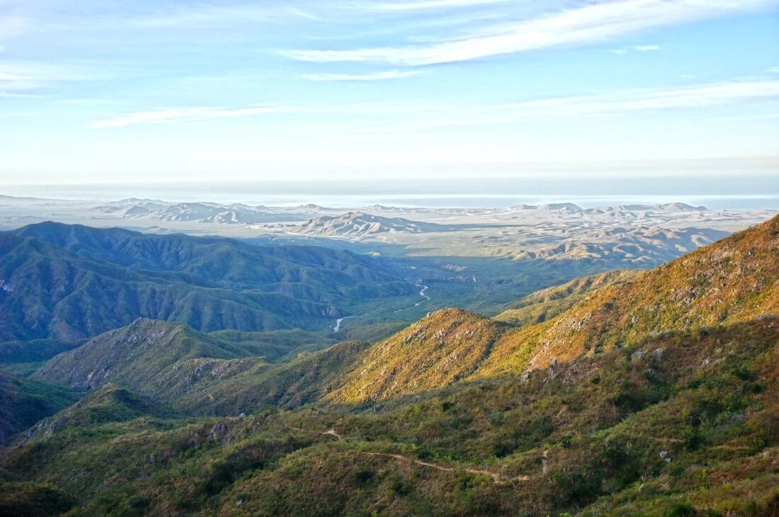
BAJA DIVIDE 10: Side trip to Sierra La Laguna Highpoint
-
BAJA DIVIDE 3: Side trip to Picacho del Diablo
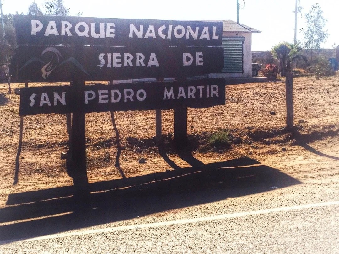
Pedaling my bicycle for five weeks and fourteen hundred kilometers, up hills, across deserts, through sand, over rocks, and on train tracks, has defined my leg muscles more than thousands of miles of thru-hiking ever did. So when we made plans to climb Picacho del Diablo, the state highpoint of Baja California Norte (3095), a very rugged, long climb, I thought it was going to be an awesome hike, and it was …but what I forgot is that we weren’t going to Parque National Sierra de San Pedro Mártir to go on a hike, we were going there to climb a mountain. _____________________Arriving in Colonet, a bustling little town on the Baja Divide, we made plans to climb Picacho del Diablo. Neon organized a ride for us with the hotel (where we were staying) manager’s son. We left our bikes at the hotel for safekeeping, and packed our backpacks for a mountain adventure. We stopped to pay the climbing fee at the park entrance. The park guard asked to see our GPS and our map. He asked about our mountaineering experience and impressed upon us what a challenging climb awaited us. We signed into the log book, and were also required to fill out forms with all our information, complete with whom to contact in case of emergency, and then were told to stop back in on our way out so they know that we made it safely. Neon turns to me and says, “I think it’s going to be a good mountain.” Our ride dropped us off at the trailhead, and we all agreed on a time that he would pick us up, four days later. We say goodbye and head down a wash in route to Cerro Botella Azul (the second highest peak in Baja) and Picacho del Diablo (the highest peak in Baja). I feel a little wobbly without my trekking poles, but my pack is light and my legs strong. The landscape is open with tall pine trees and large boulders. The boulders slowly change to larger rock outcroppings, with manzanita and scrub oak intermixed between the pines. We stop for a lunch break and I turn to Neon and say, “soy fria”, thinking I’m saying “I am cold”. He looks at me and says, “I think you mean “tengo frio.” What’s tengo again, I ask. It means “I have”, he replies. And why frìo instead of frìa? Well, because you’re using “cold” like a noun, and “frìa” is an adjective; it’s a modifier. “So, in Spanish, I say “I have cold”, to mean I am cold; that sounds like I’m saying I’m sick, like I have a cold. It’s going to take a long time before I can make a sentence in Spanish without sounding like an idiot”, I say. I practice pretend conversations in Spanish as we continue walking. The hike to Botella Azul saddle is a beautiful walk in the woods that lands us on a high ridge overlooking mountains that extend down to the desert and the Pacific Ocean to the west, Cañon Diablo to the north, Picacho del Diablo to the East, and Botella Azul to the south. We set up camp a short scramble up some rocks and watch the sun set orange and red, glowing for at least an hour over the ocean. After a lazy morning we climb up Cerro Botella Azul, a short hike from the saddle, then take a “shortcut” down, which I wouldn’t recommend, to connect back up with the climber’s trail down into Cañon Diablo. The climb of Picacho del Diablo requires a ~3000 foot descent into Cañon Diablo, with hours of steep boulders and a pretty intense 4th class down climb, to get to summit base camp, Campo Noche. The biome changes as we descend into Cañon Diablo. There are huge ferns, cedars, other needly trees, little waterfalls, and pools of clear, almost tropical blue water. We arrive at Campo Noche early in the afternoon, drink wine, eat burritos (always burritos in Baja), and review our route. Near dawn I wake to a loud noise. In my sleepiness I first think it’s Neon, coughing, then wake with more of a start, thinking no, that was a rock that got knocked over. I turn, and whisper, “was that you.” Neon, awake, says “No.” I sit up quickly, struggling to free my arms, but I have the draw cord tightened down at the top of my sleeping bag. I finally break free, grab my flashlight and swing it around into the darkness. There are a thousand little rock eyes staring back at me (my light reflecting off the mica in the rock). I shine my light for another minute, but there are no animal eyes glowing in the darkness. “I’m so sore from yesterday” I say to Neon. “I’m pretty sore too,” Neon says. I settle back into my bag and start to doze off when I hear something like an animal chortle, almost like it’s laughing at me. I turn again, and say, “did you hear that?” Neon says “Yes”. I sit up and shine my light again, nothing. There are known to be ringtail cats here so we assume that’s what it might have been. Unable to fall back asleep, and near dawn, we decide to start our morning to get an early start for summit day. The climb from Campo Noche, and out of Cañon Diablo, is a brutal ~3,800 foot climb, over boulders, talus, and scree, with extended sections of fourth class. The climb starts right out of camp heading up “Night Wash”. According to one trip report I read, Night Wash was named by a group of UCLA students that descended down the wash after dark. We have second breakfast on a ridge at the top of Night Wash, then cross over and drop into “Slot Wash.” Here is where the route finding gets even more tricky. We were making really good time when we hit a dead end in the wash, blocked off by a group of twenty and thirty foot, building size, boulders. Where was the last cairn, I ask Neon. Just back there, he responds. We look around and then decide to head up a slope to go around the boulders. We push through some trees, over some scree, and pop out into the wash, or so we thought. We head up and up. It gets steeper with a lot of loose talus. This doesn’t feel right, Neon says. We haven’t seen a cairn since back at those huge boulders, I say. It takes a few minutes to let go of our upward progress, but we descend back down the wash, faster than we went up, but still losing an hour and a half of our day. All the way back down, where we popped out of the trees, I see a small cairn through the trees on the other side of the wash. We go through the trees and find our self on top of the building size boulders. We had been heading up a different wash! Now we’re in a time crunch. We climb up until the wash gets even more narrow, crossing over small waterfalls, under trees, and over boulders, retracing our steps when cairns lead us to a dead end, and finally reaching the friction slabs we’d read about in several trip reports.After the friction slabs we follow really good cairns up steep talus and scree. Neon is ahead of me, saying, I see a cairn, oh here’s another cairn, and there’s another. This goes on for a while. Now that’s what I like to see, Neon says. “Like a finely bolted route”, I reply. A few minutes later the cairns just sort of stop. I look up and ask, is that “Wall Street?” (the final approach to the summit). It doesn’t quite look like the photos, and it looks like hard fourth class, maybe even some fifth class climbing. We’re high enough now that our GPS is working again and we can see that we’re a little over from where our waypoints say we should be. We head back down, then traverse over to where our GPS says we should be, and then back up on the other side of a rock fin. We didn’t find many cairns, but we climbed up to the bottom of, what we recognized from photos, “Wall Street”, the final approach to the summit. It had a little bit of everything: boulders, talus, scree, friction slabs, and solid fourth class climbing. It seemed like it was going to go on forever when the summit block finally came into view. We climbed up on the biggest boulder on the summit, looking at the Sea of Cortez to the east, and the Pacific Ocean to the west. We took fifteen minutes to sign the register, take a few photos, and cram a bit of food in our starving bellies, before heading back down the mountain. It was 3:30 pm at this point and we had no time for getting off route. The way down Slot Wash went fast, without incident. It started getting dark just as we passed the last of the really tricky parts.We finally pulled out our headlamps, finding so many cairns in the dark that it seemed like they just led us in circles for hours, and we still hadn’t found the top of Night Wash. In the dark, everything looked familiar, and at the same time like we’d never been there before. Exhausted, and making zero forward progress, we finally decided to stop and bivy on a soft patch of sand. I put on all of my clothes and my ultrasil rain gear, pulled the foam pad out of the back of my backpack to lay on, nestled my legs inside my backpack, and laid my head down on my food sack. “The stars are so bright and pretty. I hope a ringtail cat doesn’t get into the food I left down at Campo Noche, or use my sleeping bag as a nest.” I say. Neon reads to me for a few minutes. We spend the rest of the night shivering until dawn at the bottom of Slot wash. I wake, teeth chattering, and say, “It’s light. Let’s go.” I try to stand, “oh man, I’m not sure I can even get up. I don’t think I’ve ever been this sore.” We stumble around for a few minutes, packing up our stuff, and then retrace a few cairns before realizing we’d camped almost right at the top of Night Wash. We rush (stiffly) back down to Campo Noche, grab the rest of our stuff, then head back out of the canyon, racing as fast as we can back to the trailhead parking lot to meet our ride by 4:00 pm. We were two hours late, but our ride was still there, smiling to greet us, with his wife and his little girl, AND they saved us leftovers from their picnic. We check back in at the park office, and two hours later we are transported back to our hotel. I look at my bike, hardly able to move at this point, and say “there’s no way I can ride that thing tomorrow.” _____________________You can sign up to receive The Redheaded Nomad’s blog posts in your email inbox; sign up at the bottom of any page on my website: theredheadednomad.comYou can also follow me on Instagramd @theredheadednomad and on Facebook @redheadednomad_____________________Driving to the park I was struck by the glowing pink rosary and cross swinging from the reaview mirror.
 _____________________
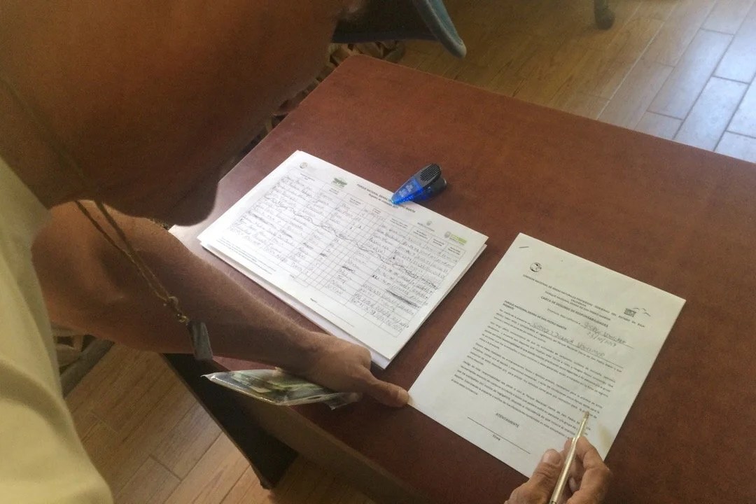
 _____________________The park office required us to fill out forms before climbing Picach del Diablo, complete with whom to contact in case of emergency.
 _____________________The trailhead…
 _____________________…and off we go
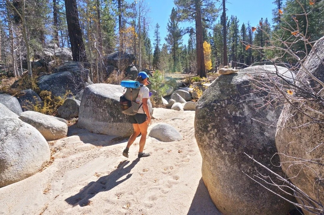 _____________________Walking through the tall pines…


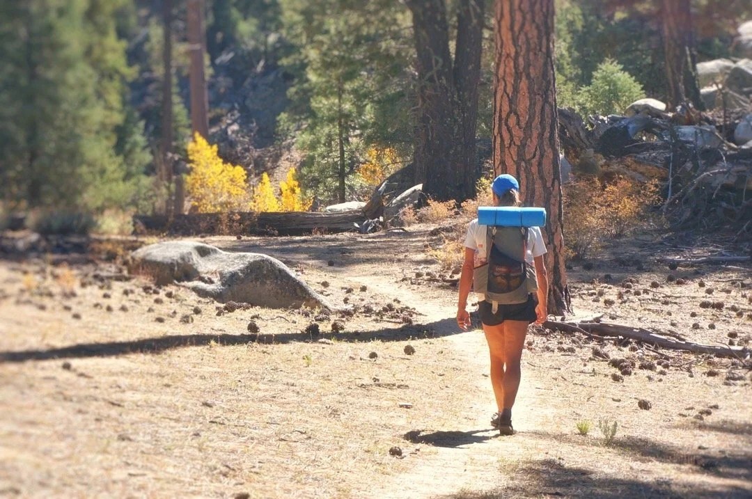

 _____________________The rock formations in the park reminded me of places I’ve been in some parts of the Sierras in California and some of the high mountains in southern Arizona.
 _____________________These plants were so tiny, but they had amazing flowers.
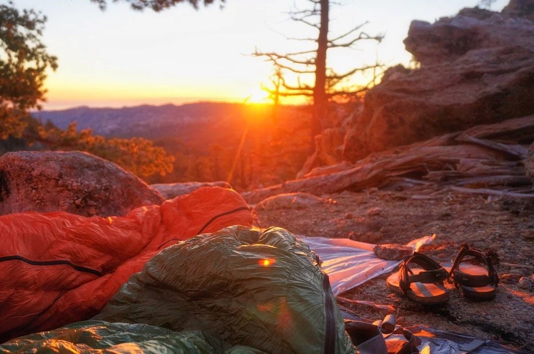
 _____________________Sunset from Botella Azul saddle… These surreal moments always remind me that “this” is what I love most …just being an animal in nature, alive and part of everything. They bring to mind the line from a D.H. Lawrence poem, “I never saw a wild thing sorry for itself.”


 _____________________The view from Cerro Botella Azul Summit…

 _____________________Cerro Botella Azul Summit…

 _____________________View of Picacho del Diablo from Botella Azul Saddle…
 _____________________Looking down into Cañon Diablo…
 _____________________Starting down into Cañon Diablo. The entire descent was very steep, mixed between loose scree, talus, huge boulders, and one intense fourth class down climb.
 _____________________Deeper in the canyon the plant life changed. These huge ferns were a surprise I wasn’t expecting…
 _____________________Cañon Diablo was filled with lovely little water falls and pools of blue water…


 _____________________Heading up Night Wash….
 _____________________Early morning light in Slot Wash…
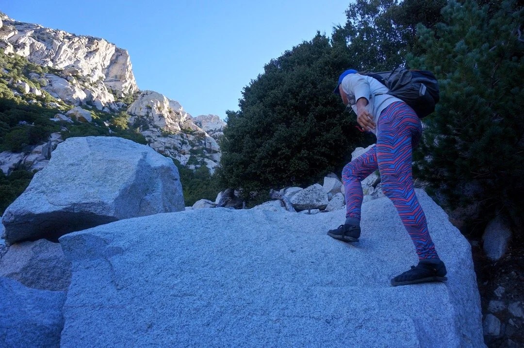 _____________________Looking up at Picach del Diablo (just out of view behind the tallest point). The route goes between the two dihedrals on the right, then heads back left up to the summit.
 _____________________Cool rocks in the canyon…
 _____________________Heading up in the narrows of Slot Wash…

 _____________________Starting up the Friction Slabs…

 _____________________Climbing up Wall Street, the final approach to the summit…


 _____________________Looking back down at Wall Street…
 _____________________Heading up the summit block…
 _____________________The summit of Picacho del Diablo!


 _____________________Heading back down the lower part of Wall Street…
 _____________________The next day at our hotel in Colonet it all just seemed like a dream, a very sore and tired dream…
 _____________________
-
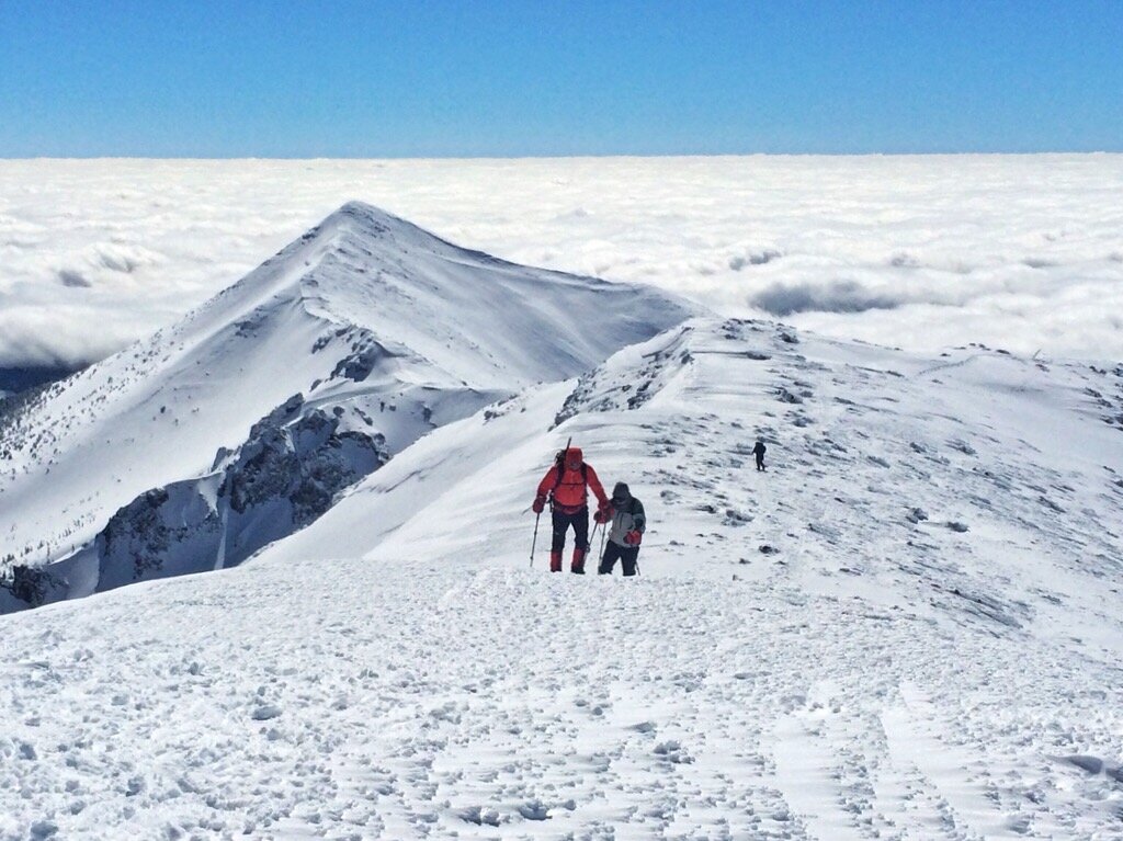
FALLING IN LOVE WITH A MOUNTAIN
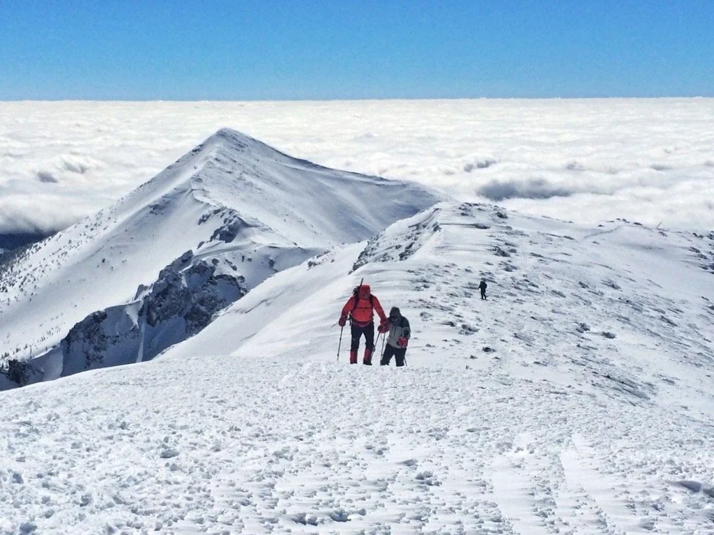
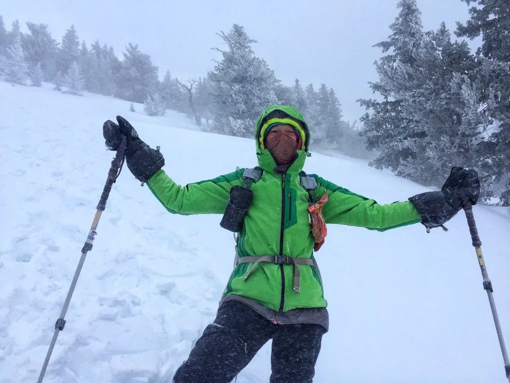
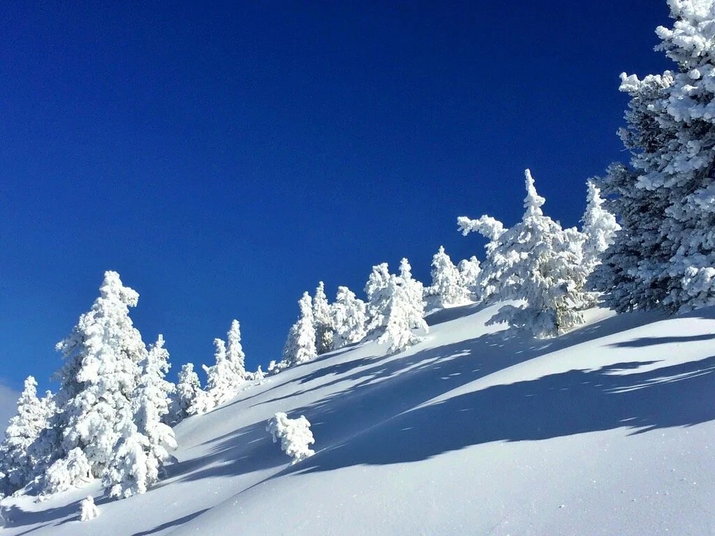
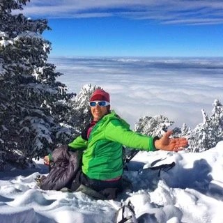
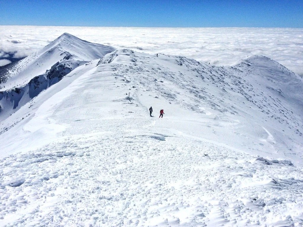
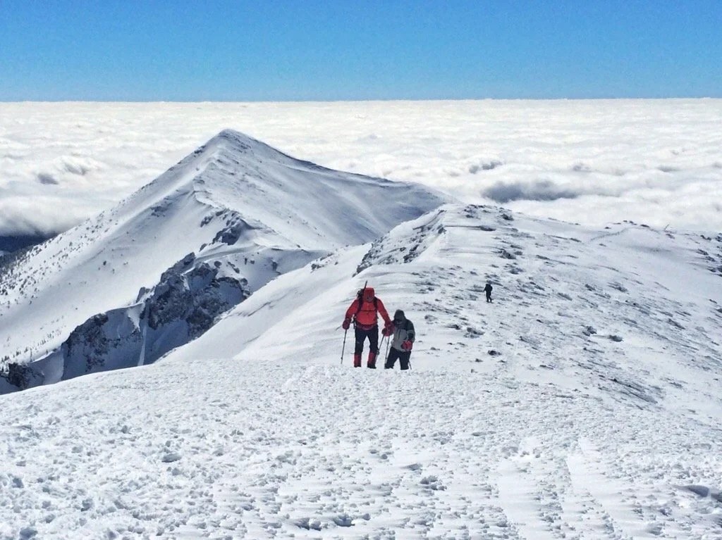
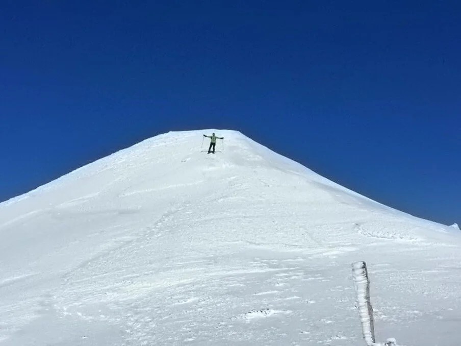
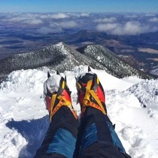
Falling in love with a mountain, for me, is a lot like love at first sight, and beyond that, it takes time. And I think it needs to love you back, too. I’ve loved a handful of mountains like that, ones that have loved me back, that seemed as though they watched over me, and called to me in my dreams. There are others that seem more like a brief love affair, and I never forget those ones, I will always hold them dear in my memories. But some mountains, well, they just have all my heart and soul.My first mountain love wasn’t even really a mountain, but at age four it was a mountain to me. And when I discovered wild apple trees on its flanks, it had me. My adventures up to those apple trees were the first of many gifts that climbing mountains would afford me. And during those climbs, on my four year old legs, I discovered a deep strength in myself, and also, a friend in Nature. I learned that I could do things, that if I just kept at it, I would get there, and something beautiful would greet me. Mountains have always offered me gifts. Sometimes those gifts come as wild fruit, berries, or other plants, and sometimes they come as an interaction with a wild animal. And I’m almost always rewarded with a beautiful view.Everywhere I’ve lived in the western states I’ve had a mountain that I see daily that I’ve fallen in love with; currently, that mountain is Baboquivari, in southern Arizona. But I’ve found my love growing for Humphrey’s Peak in northern Arizona. We climbed it for the first time, in the summer, over ten years ago now, before I had even moved to Arizona. We often pass by it on road trips now, holding it in our view as we drive by. And after this last weekend, I have stood on its summit it four times, twice in the summer and twice in the winter. I think the winter climbs are my favorite. There are no glaciers, and so no crevasses to worry about, but it still offers a steep snow climb with a relatively high summit elevation, 12,633 feet, complete with all the majestic beauty of a long ridge line approach above tree line. I’ve traversed this beautiful ridge in the summer heat, and in winter winds so strong I had to push against the wind, guarding my face as I made my way to the summit. We have a history together now, Humphrey’s and I, and I think maybe I just can’t help falling in love with a mountain that I spend a lot of time with…_This year’s winter climb of Humphrey’s Peak
 _
 _
 _
 _
 _
-
The Sacred Mountain
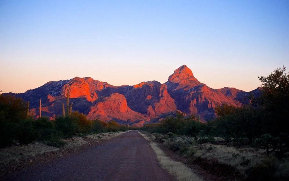
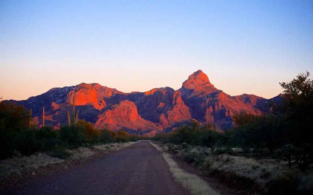
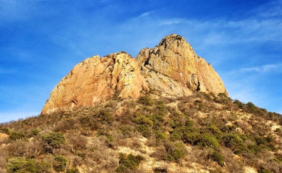
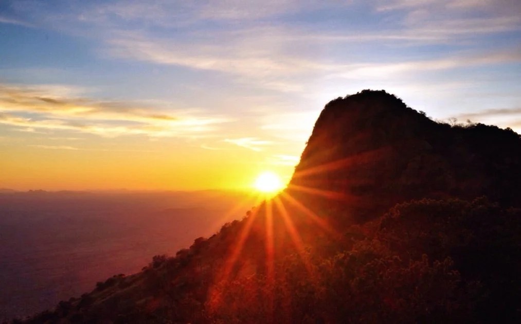
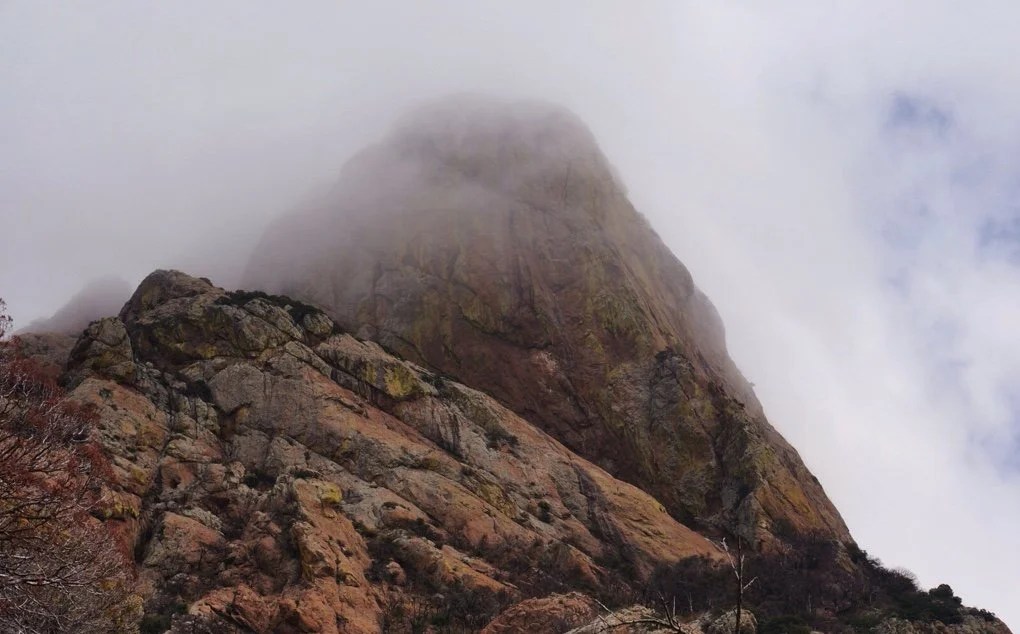
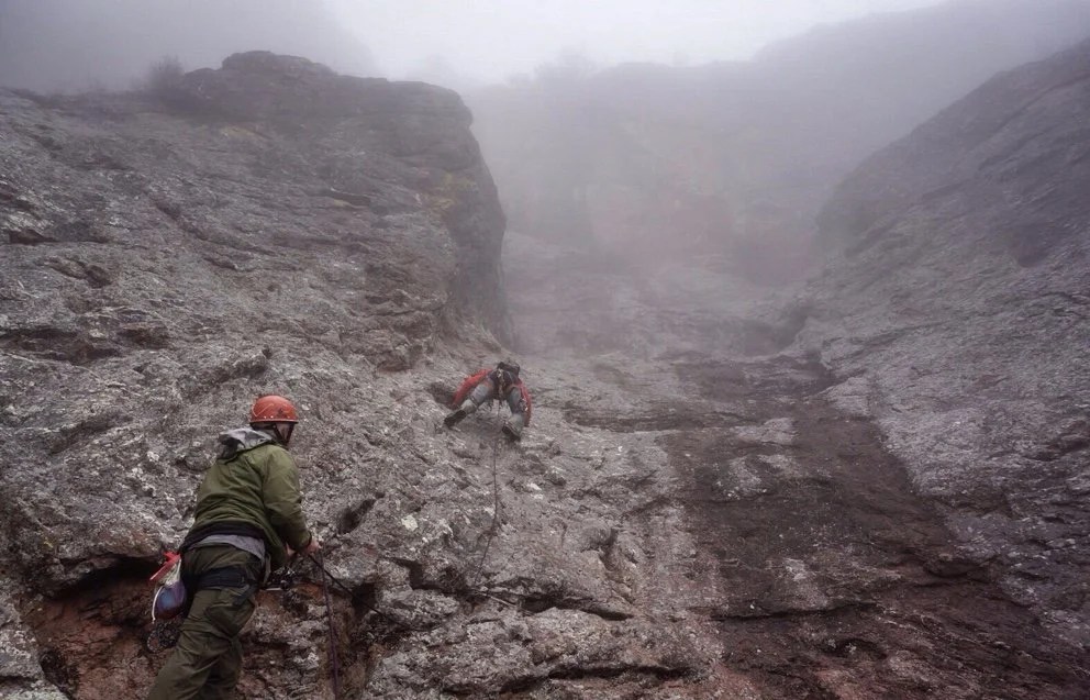
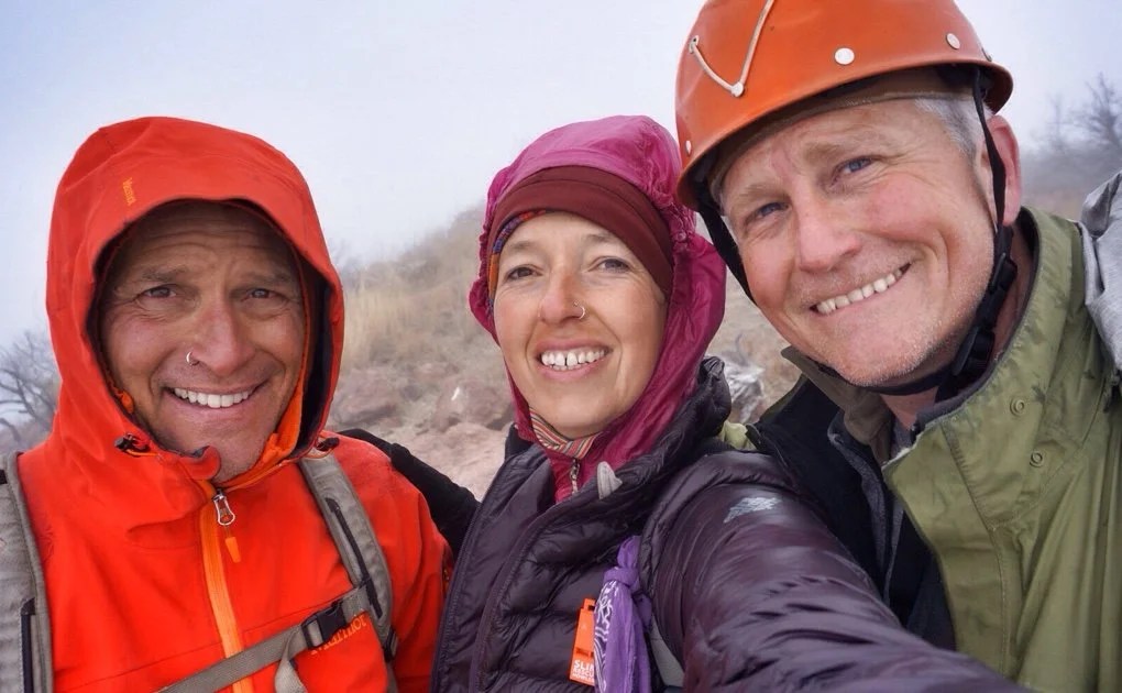
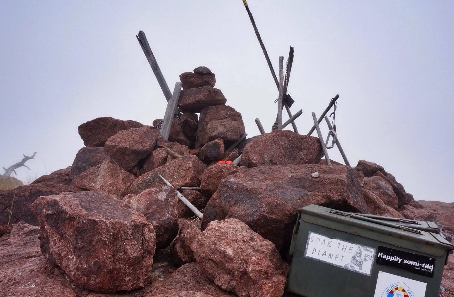
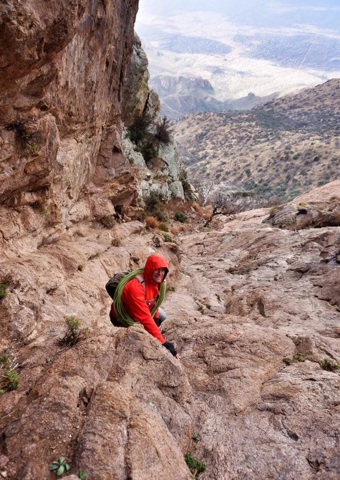
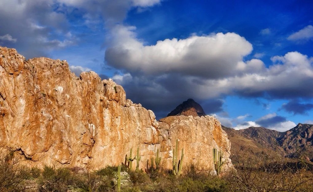
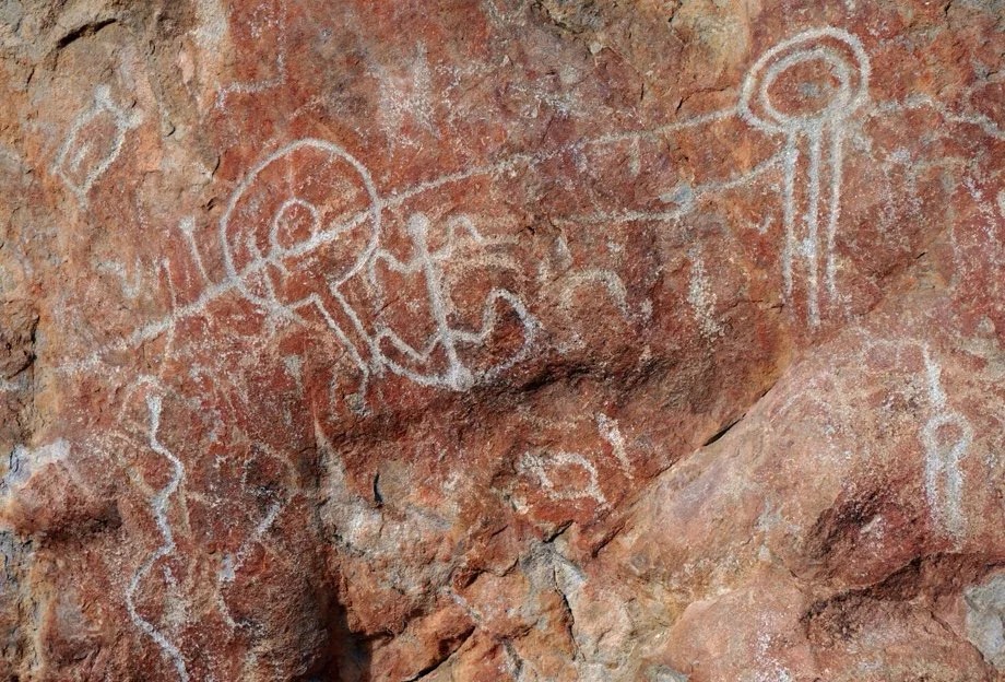
I often muse about where a journey begins. This last weekend we summited Baboquivari (Babo), the sacred peak of the Tohono O’odam Nation in southern Arizona. This particular peak captured my attention five years ago as we crested over the rise on I-10, Tucson came into view, and I was immediately drawn to the pointy peak way out on the western horizon. Right there, that moment, it had me, I thought, this is why I moved here, I’m going to climb that peak.As we settled into to our new desert lives and I researched climbing Babo, it became apparent that this was no ordinary peak, and not just because I had fallen in love with it, but because it has such meaning, stories, and mysteries woven into its presence and history. On top of that, accounts of climbing Babo were notoriously filled with stories of getting lost, bad rappels, and unintended bivies. Over the years it became a legend in my mind, something I wanted, needed in some way, but began to feel was too big and mysterious. Maybe it was too hard, maybe we should do more desert climbing first, maybe it wasn’t the right season… There were always lots of reasons why we didn’t climb it.But then when I hurt my ankle a couple of months ago, I was staring out across the valley and I knew it was time to go, time to get a closer look at that beautiful peak. It was calling me. We went. I limped my way to the base of Babo. I left a small offering for I’itoli, the Tohono O’odam God that lives at the base of the peak, and said we would be back for the summit. I sat for a few minutes in the sun to rest my foot and soak in the moment when a little yellow butterfly flew down to my hurt ankle and then up to my face. I knew we would make the summit after that moment. I had such a collision of thoughts, chalked it all up to coincidence, but nevertheless, I’m sure that little yellow butterfly told me everything was going to be ok and the summit was ours if we wanted it. And the summit almost happened perfectly, or perhaps it did.This last weekend we summited Babo. We decided to climb it in two days. The first afternoon we set up a base camp at the saddle. It was early, but it was sunny and beautiful and it was nice to enjoy a relaxing day under the spell of Babo. As the sun set the winds pick up, and up, and up. We cowboy camped that night, though I don’t think we slept much. The wind whipped across our camp all night long, continually filling our sleeping bags with so much air I thought we might take off like a hot air balloon into the night sky. I watched the clouds swirl with the winds, twisting in and out and back and forth across my view. There were so many stars. The stars are amazing in the clear skies of southern Arizona, but up here, there were more.We woke groggy and cold. The clouds had moved in. They were so thick that we couldn’t see Babo anymore. Neon had packed a stove so we had hot coffee and pondered the dangers of climbing in high winds, misty fog, and on wet rock. The sunshine began to peek through the clouds and finally it was decided that we would hike to the base of the climb and then perhaps the weather would clear.We made our way up the switchbacks, up the Great Ramp, through the oak thicket, and to the base of the climb. The clouds never cleared, but as we turned to the north side of the peak and to the base of the roped climb the winds slowed enough to be bearable. Neon decided the climb looked ok, though through the fog we couldn’t see the upper reaches of it. We set up the ropes, climbed, scrambled, and finally walked the rest of the way to the summit. Oddly, the winds were mild at the summit. There was no view through the clouds, but it is always sweet to see the summit cairn. We left our offerings. I said a silent thank you and we made our way off the summit with only one wrong turn.The winds picked up again as we made our way back to the Great Ramp, but the air warmed as we made our way further down the mountainside. All in all it was a perfect summit and we felt triumphant. We camped that night near the petroglyphs at Picture Rocks, graced by the presence of a Cara Cara. We could see Babo, still in the clouds. My thoughts drifted to where this journey began… Was it the previous day, was it a couple of months ago when I felt the need to take a closer look, was it five years ago when we crested the rise on I-10 and I caught sight of Babo for the first time? Perhaps it was 10 years ago, in Italy, climbing for my very first time? Maybe it was when I was ten and Mt Rainier, in Washington state, called to me and I knew I would climb it some day, which I did. Or perhaps it was that hillside behind our house, when I was four, that always lured me up it to pick the apples from the trees that grew there. Everything often feels so tied together. One thing leads to another and I find myself unable to declare where it is the journey began or where it will take me next.
 _
-

Walking Lighter: Homemade gear and other things I carry on a long walk…
My Inspiration to Walk Lighter
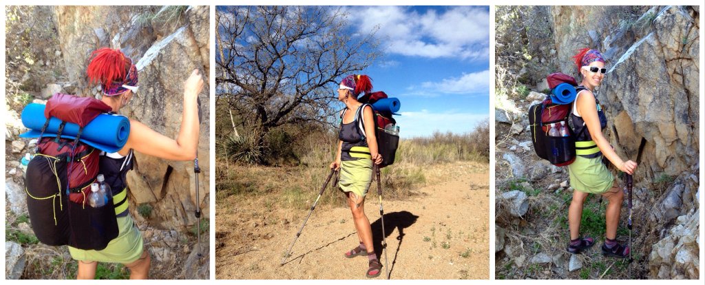
I have been sewing since I was 11 years old and, as an artist, making my own gear was a natural evolution of my hiking experience. My first overnight backpacking experience was about 9 years ago. I used a borrowed Kelty pack that weighed nearly 6 pounds and my sleeping bag weighed almost 5 pounds. By the time I got all my “stuff” into the pack it always ended up weighing ~50-60 lbs. Guys would always brag “oh, that’s nothing, I used to carry an 80 pound pack back in the day”. Fine enough, but after a few miles of hiking I was so tired I would have to prop the pack up on rock or a log to get it back on after a break because I could no longer lift it off the ground and back onto to my body.After several years of torturing my self with a heavy pack the final touch to inspire me to go lighter happened on a climb of Mt Rainier with that same heavy Kelty pack and all my climbing gear. On the snow slog up to Camp Muir I slipped in the snow and landed on my back. My pack was so heavy I couldn’t get back up without taking it off . The problem was that there was no rock or log around to prop my pack up onto and I couldn’t lift it off the ground and back onto my body. Immediately following that trip I bought a lighter pack and axed a bunch of stuff and clothes from my list of must haves–this included my rain jacket, toiletries, first-aid kit, pocket knife, extra socks, etc. From that trip on I have slowly acquired lighter gear and stopped carrying much of the stuff I used to think I needed.Every single backpacking experience since my first one has left me with visions for how to hike lighter. A lighter sleeping bag and pack were an obvious place to start. The tent wasn’t such an issue because I only ever carried half of it while my hiking partner carried the other half. I have made all my rain gear, which includes pullover jacket with hood, chaps, skirt, mittens, and booties. I have made my hiking skirt, sun-shirt, sleeping bag, sleeping bag liner, puffy jacket, puffy pants, puffy mittens, and modified a lot of my bought gear. I swore I’d never make a backpack, but this year in preparation for my Continental Divide Thru-hike I ended up making three packs.

Homemade Backpack
My backpack design was an evolution of an idea that started as a simple daypack design. I thought “why not just buy some ready made straps and attach them to a ready made light-weight stuff sack?” Then my dreams got bigger and I thought “why not do that for a bigger pack and add a hip-belt too?”One thing led to another and I ended up making three packs for this hike. The first one was great. I basically made a basket like structure out of very lightweight webbing with a hip-belt and shoulder straps attached to it. The basket webbing structure is designed to hold a large stuff sack. That pack weighs ~9oz. But as I started adding lightweight fabric shear panels and pockets to it I decided to start completely over in hopes to simplify the design for easier replication.My second pack design was indeed easier to construct, but it still turned out to be very complicated. By the time I started making my husband’s pack, the third generation of my design, I started to think of how I would make it different the next time around. That is until I weighed my pack, the second pack I made, which even with all the pockets and top lid comes in under a pound at ~14 oz.The primary structure of the pack is grosgrain ribbon, which is like very lightweight webbing. I enclosed the pack with sil-nylon, which is a silicone coated ripstop nylon. It has stretchy pockets on the back and sides. And I designed load lifters that use the top lid as part the tensioning system.

Hiking in Sandals, Socks, and Other Items Worn
I hike in sandals–Chacos Uniweep Z1 sandals are the best. In running shoes and hiking boots I constantly twist my ankles. I think I am supposed to knock on wood here, but I have hiked thousands of miles in sandals and never twisted my ankle. My theory is that shoes constrict the natural articulation and movement of my foot, which doesn’t allow me to compensate for a wobbly step on uneven terrain–thereby the shoe or hiking boot actually causes me to twist my ankle by restricting my natural movement.About 20 years ago I broke the navicular in my right foot. The navicular is the keystone of your foot arch. For most of those 20 years I would often have a bit of ache in my foot or a shriek of bad feeling when I would turn my foot a certain way, but in the last couple of years since I’ve been wearing Chacos I have nearly forgotten that I had ever broken my foot at all.My feet and ankles are happier in sandals—they are able to be much more agile and natural in sandals. And happy feet equal happy hiking.Chacos last forever, have an ergonomic foot bed, and they don’t trap my toes. I also like that they don’t have an internal hard plastic arch support. I’ve hiked in other sandals that do and as soon as the soft cushion foot bed starts to compress and wear out the hard plastic arch support starts to feel like I am walking with a huge stick stuck in my sandal. This does not happen with Chacos. Chacos also have knobby Vibram outsoles with excellent traction and are thick enough that rocky terrain underfoot is not a problem.I wear Darn Tough wool socks and am proud to be sponsored by Darn Tough for this thru-hike. They really are the best socks I have ever worn. They literally can hold up to a thru-hike, which is not an easy task. The Darn Tough socks I bought for the Pacific Crest Trail, though a bit threadbare after thousands of miles, are still going strong. If you want a comfortable pair of socks that will keep going long after you have exhausted your motivation to keep walking then Darn Tough is the sock you want.When the weather is warm I like to hike in spandex shorts, a skirt, and tank top. I do not use sunblock so when the sun is intense and high overhead I use a sun shirt, sun gloves, and a visor with an added neck drape to protect my skin. I like using a visor instead of a hat for two reasons; one, I sweat a lot and the visor provides more ventilation than a hat; and two, I like to wear my hair up because it lets more air circulate around my neck and face, which keeps me cooler.Hiking in a skirt is something I came to love on my 2012 thru-hike of the Pacific Crest Trail. I can wear spandex shorts underneath it and along with a sports bra I am ready for swimming at the first sight of fresh water. When the weather is cooler it also makes it easy and discreet to slip tights on and off no matter who is around. I have also found that in colder weather my butt stays much warmer if I am hiking in a skirt with light tights underneath than if I wear thermals under hiking pants. I designed the skirt I will be wearing on this trek. It has two draw cords on the front so that I can raise the hem in warmer weather and lower it in cooler weather.Before hiking the Pacific Crest Trail I did not use trekking poles, now I even use them on day hikes. I find I walk up hills faster and they really take the weight off my knees on the down hills.

Extra Clothes Carried for Cold Weather
I find I stay warmer simply by adding a variety of light layers as opposed to a heavy bulky layer. I like to use a neck gator to keep the wind from blowing down my neck and into my jacket. The combination of a Buff and light hat covers a wide range of temperatures. Light hiking tights under my skirt are great and with the addition of light leg warmers I am very comfortable down to freezing temperatures. A light thermal shirt with a wind shirt over it is a very warm combination in cold weather. And with the addition of a light insulated jacket, light gloves, and light insulated mittens I am good for a mountain expedition. I made my insulated jacket for this hike. It weighs 10 ounces, it is long enough to cover my butt, has a hood, sleeves long enough to actually keep my wrists covered when I raise my arms, and two inside pockets.

Homemade Rain Gear
I designed and made all my rain gear. I made it with Ultra-Sil. Ultra-sil is sil-nylon except it is stronger and lighter. It is not breathable, but when it is really raining breathable does not work anyway. My rain gear makes a great vapor barrier and doubles as a lightweight bivy solution on my mountain ventures.My rain gear consists of a pullover jacket with a hood, which is sort of like a poncho except that it has full length arms, rain chaps, skirt, mittens, and booties (very useful for a sandal hiker).

Water & Treatment and Other “Stuff” I Carry
I carry a lot of water bottles. I like to have a five liter capacity in the desert. I carry two 1L Smart Water bottles, a collapsible 1L Platypus bottle, and a 2L Platypus bladder with a hose. I love my 2L Platypus Hoser bladder with the single fill/drink tube opening. It is very light weight, uncomplicated, and I find that if I take a little sips of water often that I actually drink less water and feel less thirsty than if I keep all my water in bottles. I think I always wait too long to drink from bottles because it is such a pain to reach around into my side pocket to get the bottle so when I do finally drink I end up guzzling the whole bottle of water and still feeling thirsty. I keep the Platypus bladder on the outside of my pack in my side pocket so that it is easier to fill and also so I can see how much water is in itIn cattle country I treat my water. In the desert I like to filter my water with the Sawyer Squeeze filter. It only weighs 3 ounces and it is easy to use. As weather gets colder I prefer to use a Steripen for water treatment to keep my hands from freezing. In high mountain areas I do not treat my water.Other Stuff I carry…I carry several safety pins. I use these as clothespins to attach wet socks or other wet clothes to one of the draw cords on my pack like a clothesline. I do not carry a pocket knife. The only thing it is good for is opening difficult plastic food packaging. Instead I carry nail clippers, which are lighter than most pocket knives, much more useful, and they can still open up those difficult to get into food items. As a nail biter I also like having an Emory board to keep my nails filed smooth so that I don’t bite them down to the quick.I use a child’s toothbrush with much of the handle cut off. I do not use toothpaste (not even at home). I prefer using a tooth powder, either homemade from a mixture of kitchen spices, or a ready-made formula like Dr. Christopher’s or EcoDent.I think the silliest thing I carry in my pack is a one-inch length of eyeliner. It really is a wasted weight in my pack, but I love having it on my town days. I carry a small sewing kit that consists of a sewing needle wrapped in heavy paper and thread on a light plastic bobbin. I carry a couple of water treatment pills just in case I run into some really, really, bad water that I have to drink, but looks as though it needs extra special treatment. I also carry duct tape, Tenacious Tape, Arniflora Arnica Gel, and Arnica homeopathic pills. For my periods I use Instead Soft Cups, which are a disposable menstrual cup. I have tried reusable menstrual cups like The Keeper, but I prefer the shape of the Soft Cup.I do not carry a stove, but I carry a Ziploc container for use as a bowl and a light spoon for mixing drink mixes, gelling chia seed, mixing protein powders, etc. I carry a bandana and two handy wipes for water pre-filter, wiping the sweat from my brow, washing, drying, blowing my nose, and pee. I also carry toilet paper, a pack a tissues, chapstick on a handy caribiner, and 2 heavy Ziploc-like bags for my wallet and phone.Lastly, I carry a pillow. It weights 2.4 ounce. I do not use it under my head—it goes between or under my knees, which helps to keep the pressure off my lower back while sleeping.

Navigation, Phone, and Camera
I do not usually carry paper maps, but because the CDT is so remote, wild, unfinished, and there are so many route options I have chosen to carry paper for this trek. I will also be carrying a traditional compass, which I do not carry for other hikes.I have Gaia, a GPS program, on my phone as well as image files of all the maps. I keep my phone in a Mophie battery case for added protection and it can charge my phone 2 1/2 times while on trail. I also carry my phone charger and camera battery charger for when I get to town.My camera is a Sony NEX. In addition to the battery charger I will carry a spare battery and several SD cards. I will also carry a Mophie battery pack for charging the camera battery while on trail. All this can be stored away in a dry bag during wet or dusty weather.

Sleeping
My sleeping bag is another homemade ware. It weighs 17 ounces and is all synthetic. It is a cross between a sleeping bag and a quilt in that I did not add insulation on the bottom of the bag in an area the size of my sleeping pad. My sleeping pad is blue foam and goes on the inside of my sleeping bag. The bag has a full length zipper and zips to the bag I made for my husband. I constructed it out of 5oz Climashield Apex insulation and Pertex Quantum fabric. Pertex is a great wind block and I chose it specifically for the bag because most of the time we like to cowboy camp and wind blowing through my bag keeps me from sleeping well.

Tent
Zpacs makes amazing tents. This is the Hexamid Twin made of a Cuben Fiber tarp with a bug net attached to close it in. It sets up with trekking poles and weighs ~20 ounces with all the guy-lines, ground sheet, and stakes. It withstands heavy winds like a champion and despite its large looking footprint we have managed to set it up in some of the tiniest of places. One of its best features is that it sets up with the pointy tip of the trekking pole at the ground and the handle at the roof of the tent. Other tents that use trekking poles do just the opposite and though the tip of the trekking pole is meant to stay in a grommet at the roof of the tent I have heard way more than one story of a windy night that shot the person’s trekking pole straight through the roof of their tent shredding their tent to bits. The main downside to the Zpacs Hexamid Twin is it is a little small for two tall people, but most of the time we don’t set it up anyway.

Gear that I may or may not carry for Colorado
Because I fear being cold I also made a lightweight sleeping bag liner that in addition to being a liner bag it has extra zippers on it so that I can wear it like a jacket/nightgown. I made insulated puffy pants just in case the Colorado mountain weather is colder than my standard hiking garb can deal with. For parts of Colorado I may also carry a heavier set of insulating items, which includes a warmer set of thermals (top & bottoms), neoprene booties, and a light balaclava. Additionally, colder weather means snow, and summer weather means snow-melt, and snow-melt means mosquitoes. So I will likely carry a mosquito head net in these areas.
 ___


