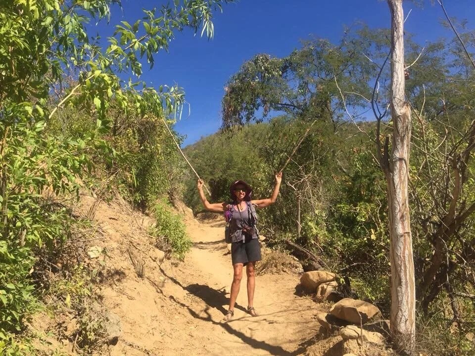
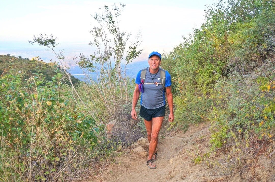
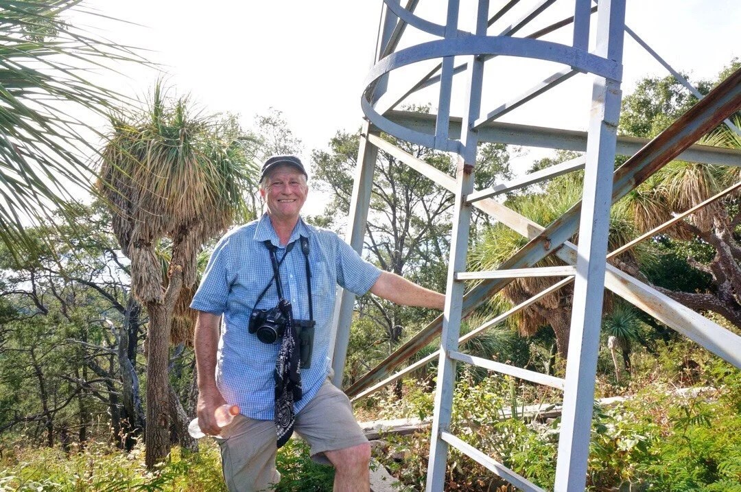
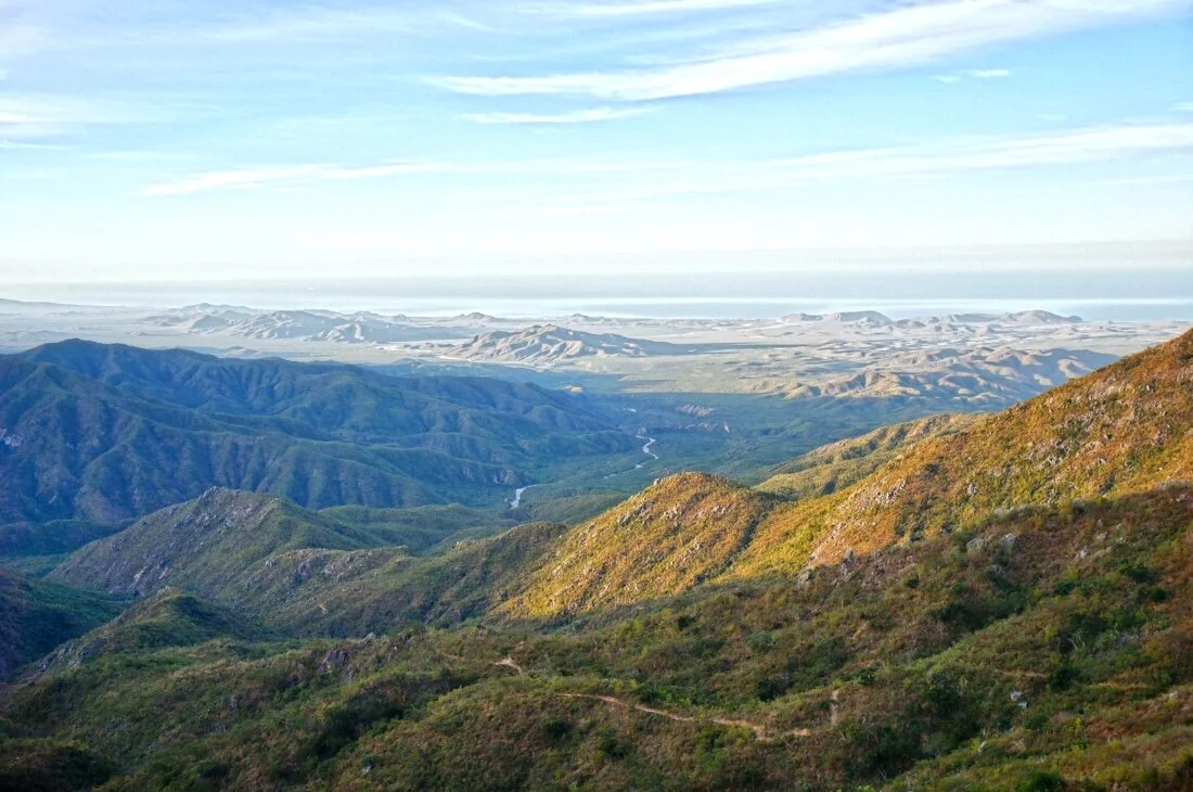
Because mountains! Need I say more? If there’s a rise in the landscape, chances are I’m thinking about it: what’s the highest point of that ridge, I wonder if that break in the cliff would be a good route to the summit, someday I’ll come back and get this one…The state highpoint of Baja California Sur lies within the Sierra de la Laguna Mountains east of Todos Santos within the Sierra de la Laguna Biosphere Reserve. I’ve seen elevations for the highpoint ranging anywhere between 6,824 ft to 7,090 ft. The trip report we followed visited two peaks just to make sure they hit both possibilities, so we did the same. We ran out of time to also climb Al Picacho while we were there; so perhaps one day we’ll come back for that one, just because it’s supposed to be one of the prettier peaks in the Reserve. We had a beautiful three days with easy trail to a high ridge in the lush green Sierra La Laguna Mountains._____Some logistics:The turn to Sierra La Laguna is marked from the highway, but several highways overlap, and the turns are not marked once you turn onto the dirt road, so be prepared with driving directions and a gps track. The trail after La Burrera Ranch climbs steeply, but is in good shape and easy to follow. We got three different prices on what it would cost to climb the peak. The government office in town said the official price was 17 pesos, but the guy at the ranch charges 300 pesos. Some kids we met on the way up the trail said the cost was 30 pesos each, for each night in the park. We passed a sign that said the cost was 300 pesos, plus 48 to camp. But what we actually ended up paying when we met a park attendant was 400 pesos each.





 _____________________You can sign up to receive The Redheaded Nomad’s blog posts in your email inbox; sign up at the bottom of any page on my website: theredheadednomad.comFor more frequent updates, follow me on Instagram at: instagram.com/theredheadednomadYou can also find me on Facebook at: facebook.com/redheadednomad_____________________
Category: Highpoints
-
BAJA DIVIDE 10: Side trip to Sierra La Laguna Highpoint
-
BAJA DIVIDE 3: Side trip to Picacho del Diablo
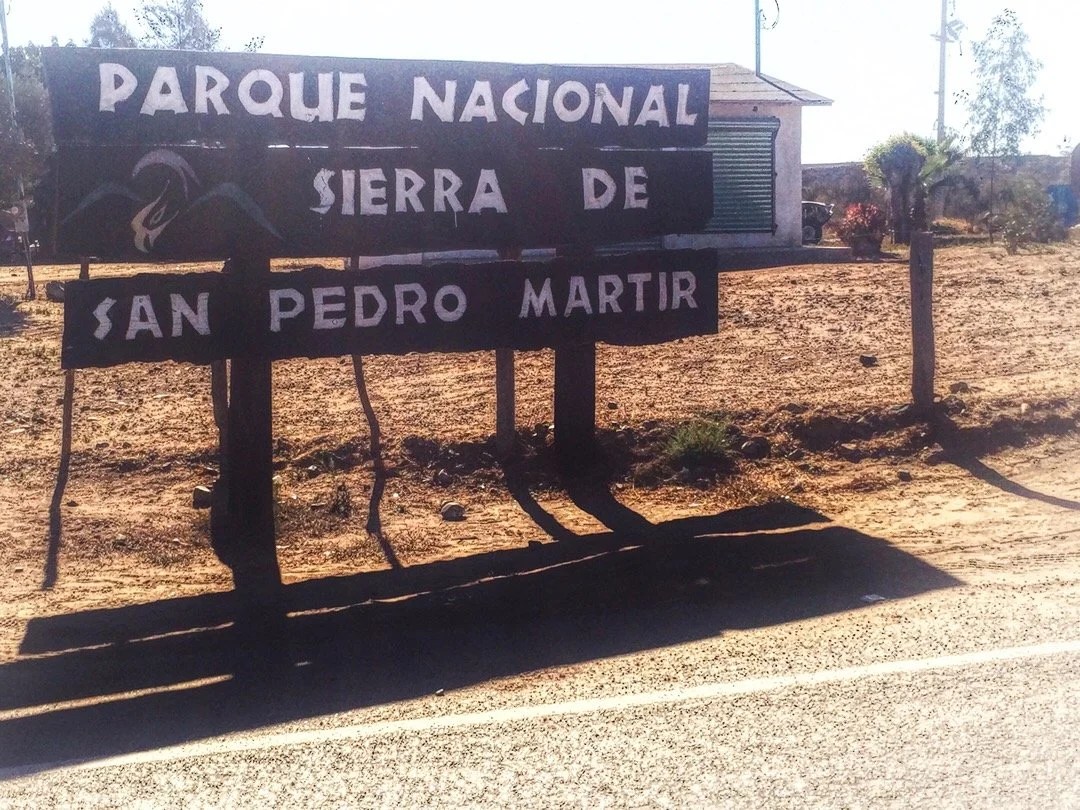
Pedaling my bicycle for five weeks and fourteen hundred kilometers, up hills, across deserts, through sand, over rocks, and on train tracks, has defined my leg muscles more than thousands of miles of thru-hiking ever did. So when we made plans to climb Picacho del Diablo, the state highpoint of Baja California Norte (3095), a very rugged, long climb, I thought it was going to be an awesome hike, and it was …but what I forgot is that we weren’t going to Parque National Sierra de San Pedro Mártir to go on a hike, we were going there to climb a mountain. _____________________Arriving in Colonet, a bustling little town on the Baja Divide, we made plans to climb Picacho del Diablo. Neon organized a ride for us with the hotel (where we were staying) manager’s son. We left our bikes at the hotel for safekeeping, and packed our backpacks for a mountain adventure. We stopped to pay the climbing fee at the park entrance. The park guard asked to see our GPS and our map. He asked about our mountaineering experience and impressed upon us what a challenging climb awaited us. We signed into the log book, and were also required to fill out forms with all our information, complete with whom to contact in case of emergency, and then were told to stop back in on our way out so they know that we made it safely. Neon turns to me and says, “I think it’s going to be a good mountain.” Our ride dropped us off at the trailhead, and we all agreed on a time that he would pick us up, four days later. We say goodbye and head down a wash in route to Cerro Botella Azul (the second highest peak in Baja) and Picacho del Diablo (the highest peak in Baja). I feel a little wobbly without my trekking poles, but my pack is light and my legs strong. The landscape is open with tall pine trees and large boulders. The boulders slowly change to larger rock outcroppings, with manzanita and scrub oak intermixed between the pines. We stop for a lunch break and I turn to Neon and say, “soy fria”, thinking I’m saying “I am cold”. He looks at me and says, “I think you mean “tengo frio.” What’s tengo again, I ask. It means “I have”, he replies. And why frìo instead of frìa? Well, because you’re using “cold” like a noun, and “frìa” is an adjective; it’s a modifier. “So, in Spanish, I say “I have cold”, to mean I am cold; that sounds like I’m saying I’m sick, like I have a cold. It’s going to take a long time before I can make a sentence in Spanish without sounding like an idiot”, I say. I practice pretend conversations in Spanish as we continue walking. The hike to Botella Azul saddle is a beautiful walk in the woods that lands us on a high ridge overlooking mountains that extend down to the desert and the Pacific Ocean to the west, Cañon Diablo to the north, Picacho del Diablo to the East, and Botella Azul to the south. We set up camp a short scramble up some rocks and watch the sun set orange and red, glowing for at least an hour over the ocean. After a lazy morning we climb up Cerro Botella Azul, a short hike from the saddle, then take a “shortcut” down, which I wouldn’t recommend, to connect back up with the climber’s trail down into Cañon Diablo. The climb of Picacho del Diablo requires a ~3000 foot descent into Cañon Diablo, with hours of steep boulders and a pretty intense 4th class down climb, to get to summit base camp, Campo Noche. The biome changes as we descend into Cañon Diablo. There are huge ferns, cedars, other needly trees, little waterfalls, and pools of clear, almost tropical blue water. We arrive at Campo Noche early in the afternoon, drink wine, eat burritos (always burritos in Baja), and review our route. Near dawn I wake to a loud noise. In my sleepiness I first think it’s Neon, coughing, then wake with more of a start, thinking no, that was a rock that got knocked over. I turn, and whisper, “was that you.” Neon, awake, says “No.” I sit up quickly, struggling to free my arms, but I have the draw cord tightened down at the top of my sleeping bag. I finally break free, grab my flashlight and swing it around into the darkness. There are a thousand little rock eyes staring back at me (my light reflecting off the mica in the rock). I shine my light for another minute, but there are no animal eyes glowing in the darkness. “I’m so sore from yesterday” I say to Neon. “I’m pretty sore too,” Neon says. I settle back into my bag and start to doze off when I hear something like an animal chortle, almost like it’s laughing at me. I turn again, and say, “did you hear that?” Neon says “Yes”. I sit up and shine my light again, nothing. There are known to be ringtail cats here so we assume that’s what it might have been. Unable to fall back asleep, and near dawn, we decide to start our morning to get an early start for summit day. The climb from Campo Noche, and out of Cañon Diablo, is a brutal ~3,800 foot climb, over boulders, talus, and scree, with extended sections of fourth class. The climb starts right out of camp heading up “Night Wash”. According to one trip report I read, Night Wash was named by a group of UCLA students that descended down the wash after dark. We have second breakfast on a ridge at the top of Night Wash, then cross over and drop into “Slot Wash.” Here is where the route finding gets even more tricky. We were making really good time when we hit a dead end in the wash, blocked off by a group of twenty and thirty foot, building size, boulders. Where was the last cairn, I ask Neon. Just back there, he responds. We look around and then decide to head up a slope to go around the boulders. We push through some trees, over some scree, and pop out into the wash, or so we thought. We head up and up. It gets steeper with a lot of loose talus. This doesn’t feel right, Neon says. We haven’t seen a cairn since back at those huge boulders, I say. It takes a few minutes to let go of our upward progress, but we descend back down the wash, faster than we went up, but still losing an hour and a half of our day. All the way back down, where we popped out of the trees, I see a small cairn through the trees on the other side of the wash. We go through the trees and find our self on top of the building size boulders. We had been heading up a different wash! Now we’re in a time crunch. We climb up until the wash gets even more narrow, crossing over small waterfalls, under trees, and over boulders, retracing our steps when cairns lead us to a dead end, and finally reaching the friction slabs we’d read about in several trip reports.After the friction slabs we follow really good cairns up steep talus and scree. Neon is ahead of me, saying, I see a cairn, oh here’s another cairn, and there’s another. This goes on for a while. Now that’s what I like to see, Neon says. “Like a finely bolted route”, I reply. A few minutes later the cairns just sort of stop. I look up and ask, is that “Wall Street?” (the final approach to the summit). It doesn’t quite look like the photos, and it looks like hard fourth class, maybe even some fifth class climbing. We’re high enough now that our GPS is working again and we can see that we’re a little over from where our waypoints say we should be. We head back down, then traverse over to where our GPS says we should be, and then back up on the other side of a rock fin. We didn’t find many cairns, but we climbed up to the bottom of, what we recognized from photos, “Wall Street”, the final approach to the summit. It had a little bit of everything: boulders, talus, scree, friction slabs, and solid fourth class climbing. It seemed like it was going to go on forever when the summit block finally came into view. We climbed up on the biggest boulder on the summit, looking at the Sea of Cortez to the east, and the Pacific Ocean to the west. We took fifteen minutes to sign the register, take a few photos, and cram a bit of food in our starving bellies, before heading back down the mountain. It was 3:30 pm at this point and we had no time for getting off route. The way down Slot Wash went fast, without incident. It started getting dark just as we passed the last of the really tricky parts.We finally pulled out our headlamps, finding so many cairns in the dark that it seemed like they just led us in circles for hours, and we still hadn’t found the top of Night Wash. In the dark, everything looked familiar, and at the same time like we’d never been there before. Exhausted, and making zero forward progress, we finally decided to stop and bivy on a soft patch of sand. I put on all of my clothes and my ultrasil rain gear, pulled the foam pad out of the back of my backpack to lay on, nestled my legs inside my backpack, and laid my head down on my food sack. “The stars are so bright and pretty. I hope a ringtail cat doesn’t get into the food I left down at Campo Noche, or use my sleeping bag as a nest.” I say. Neon reads to me for a few minutes. We spend the rest of the night shivering until dawn at the bottom of Slot wash. I wake, teeth chattering, and say, “It’s light. Let’s go.” I try to stand, “oh man, I’m not sure I can even get up. I don’t think I’ve ever been this sore.” We stumble around for a few minutes, packing up our stuff, and then retrace a few cairns before realizing we’d camped almost right at the top of Night Wash. We rush (stiffly) back down to Campo Noche, grab the rest of our stuff, then head back out of the canyon, racing as fast as we can back to the trailhead parking lot to meet our ride by 4:00 pm. We were two hours late, but our ride was still there, smiling to greet us, with his wife and his little girl, AND they saved us leftovers from their picnic. We check back in at the park office, and two hours later we are transported back to our hotel. I look at my bike, hardly able to move at this point, and say “there’s no way I can ride that thing tomorrow.” _____________________You can sign up to receive The Redheaded Nomad’s blog posts in your email inbox; sign up at the bottom of any page on my website: theredheadednomad.comYou can also follow me on Instagramd @theredheadednomad and on Facebook @redheadednomad_____________________Driving to the park I was struck by the glowing pink rosary and cross swinging from the reaview mirror.
 _____________________
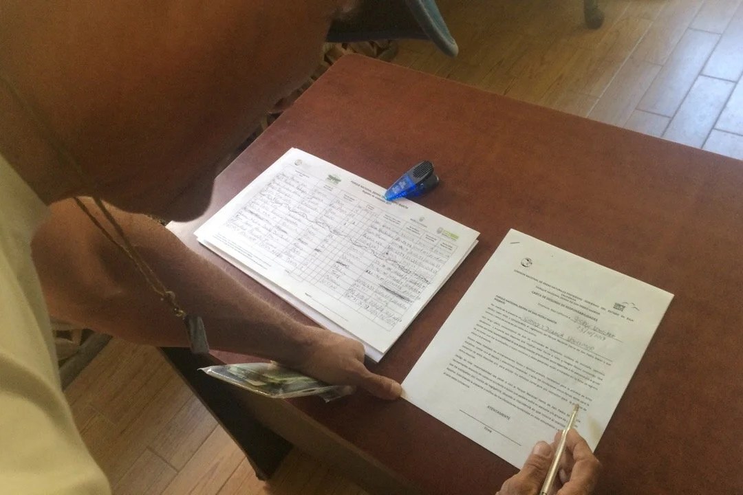
 _____________________The park office required us to fill out forms before climbing Picach del Diablo, complete with whom to contact in case of emergency.
 _____________________The trailhead…
 _____________________…and off we go
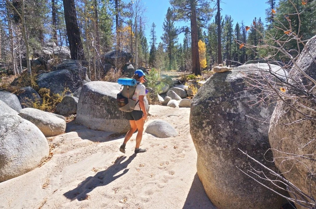 _____________________Walking through the tall pines…


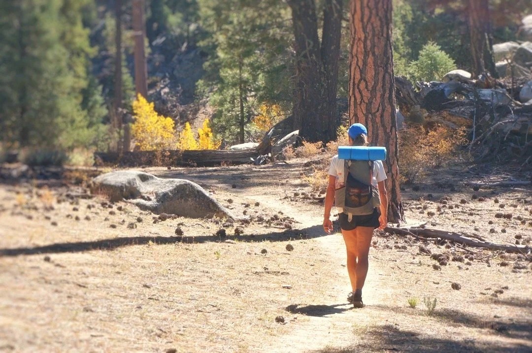

 _____________________The rock formations in the park reminded me of places I’ve been in some parts of the Sierras in California and some of the high mountains in southern Arizona.
 _____________________These plants were so tiny, but they had amazing flowers.
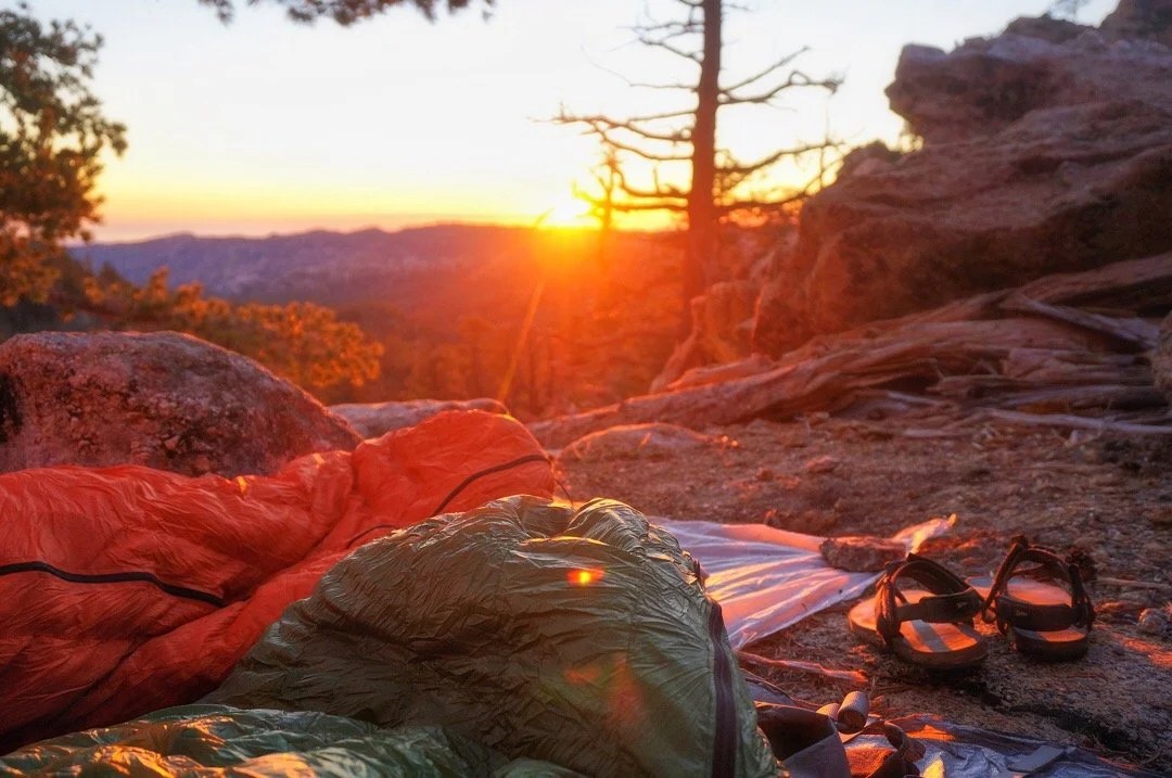
 _____________________Sunset from Botella Azul saddle… These surreal moments always remind me that “this” is what I love most …just being an animal in nature, alive and part of everything. They bring to mind the line from a D.H. Lawrence poem, “I never saw a wild thing sorry for itself.”


 _____________________The view from Cerro Botella Azul Summit…

 _____________________Cerro Botella Azul Summit…

 _____________________View of Picacho del Diablo from Botella Azul Saddle…
 _____________________Looking down into Cañon Diablo…
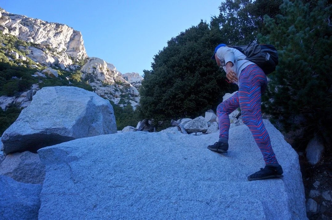
 _____________________Starting down into Cañon Diablo. The entire descent was very steep, mixed between loose scree, talus, huge boulders, and one intense fourth class down climb.
 _____________________Deeper in the canyon the plant life changed. These huge ferns were a surprise I wasn’t expecting…
 _____________________Cañon Diablo was filled with lovely little water falls and pools of blue water…


 _____________________Heading up Night Wash….
 _____________________Early morning light in Slot Wash…
 _____________________Looking up at Picach del Diablo (just out of view behind the tallest point). The route goes between the two dihedrals on the right, then heads back left up to the summit.
 _____________________Cool rocks in the canyon…
 _____________________Heading up in the narrows of Slot Wash…

 _____________________Starting up the Friction Slabs…

 _____________________Climbing up Wall Street, the final approach to the summit…


 _____________________Looking back down at Wall Street…
 _____________________Heading up the summit block…
 _____________________The summit of Picacho del Diablo!


 _____________________Heading back down the lower part of Wall Street…
 _____________________The next day at our hotel in Colonet it all just seemed like a dream, a very sore and tired dream…
 _____________________
-
Mustang Mountains Highpoint
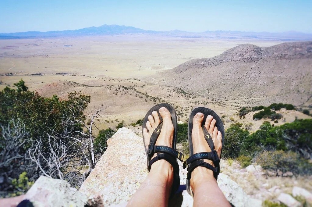
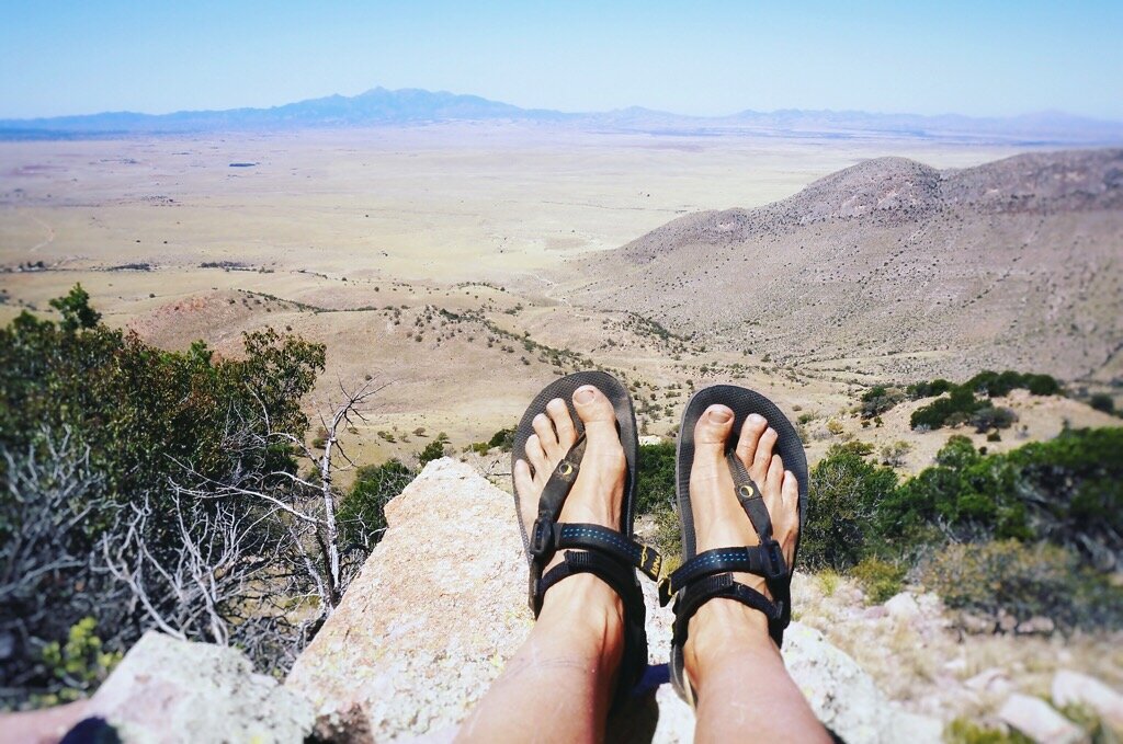
It wasn’t long after moving to Arizona that the Mustang Mountains drew me in. Someday, I knew, my feet would wander their curves and folds and stand upon their high perspective, looking out over a new view of the Chihuahuan Desert. And it finally did. Since I love highpointing so much we decided to climb the unnnamed highpoint of the Mustang Mountains (6,469 feet). But someday we’ll be back for Mt Bruce and Mustang Peak too. DIRECTIONS: We headed south down highway 83, turning left (east) onto highway 82 at Sonoita. After 8.5 miles we turned right (south) onto Upper Elgin Rd. After ~2.6 miles we turned left, through a gate, and onto an unnamed dirt ranch road. We took this road, passing through a couple more gates, to its end. From the parking area, Mustang Peak sat to the north, and the unnamed highpoint (6,469 feet) of the Mustang Mountains sat to the east and a little south. HIKE: We headed east from the parking area, following what looked like an old road for a short while, and then picked a line up the slopes to the summit. The hike is all cross-country, with grass and short catclaws (not as bad as it sounds). The final push to the summit ridge is a steep and rugged, slightly loose, 3rd class rocky scramble. From there it’s an easy walk along the ridge, through the trees, to the highpoint. The summit offers 360 views. You can see the Huachuca mountains, the Santa Ritas, Whetstones, and many others I haven’t yet learned the names of. The quest to climb little bumps and giants in the sky always feels like a journey home, perhaps because it is often a journey inward, one of letting go, and embracing my connection to the land, the sky, and all that surrounds a place: the mountain, like a castle in the sky.•
 •
 •
 •
 •
 •
 •
 •
 •Review of my Luna Leadville Trail Sandals:This hike, rugged as it was, was also my first backcountry, off trail, hike in Luna Sandals. I was a little worried if their minimalist design could hold up to the Arizona backcountry where there wasn’t even a trail. But I quickly gained confidence in my new footwear as I hiked cross-country through the grass and over catclaw bushes in this rocky landscape. I felt surefooted and close to the earth, but also protected from the rough terrain. Their next test was the 3rd class scramble to the summit ridge. It was steep and rocky with a lot of loose soil. I did have to stop and tighten the heel straps to keep my feet from sliding too far back in the sandal, but after that I had no problems. I was impressed with how agile my feet were on the loose rocks. The last test was the descent, wondering if my foot would slide forward and pull the strap too hard between my toes. But it didn’t. The ankle straps kept my feet from sliding too far forward. At one point, I stopped to watch how my toes spread out for greater control as I descended down the rocks. This made remember why I hated shoes as a child, because everything is just better barefoot, or as close to barefoot as possible. And these sandals definitely offer the foot a barefoot freedom with just enough protection from the terrain to keep it enjoyable.
-

The Journey Home
cabezon-peak 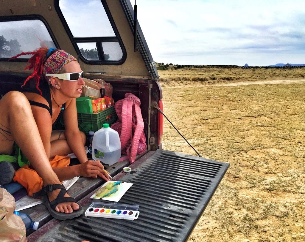
working-after-climb 
sketch-at-cabezon 
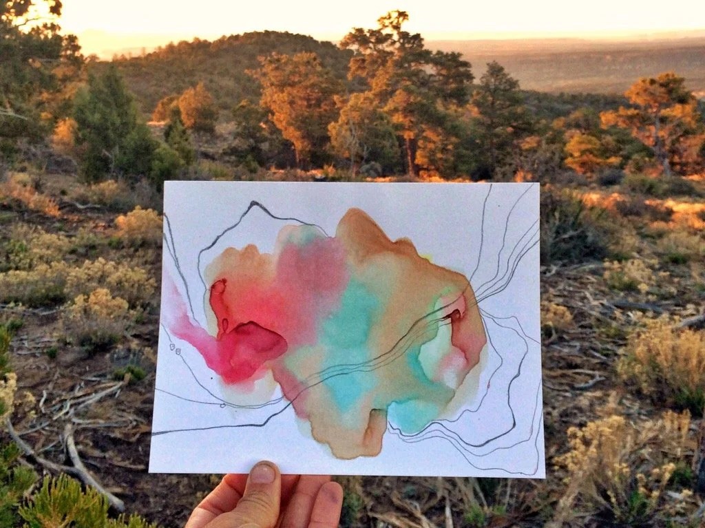
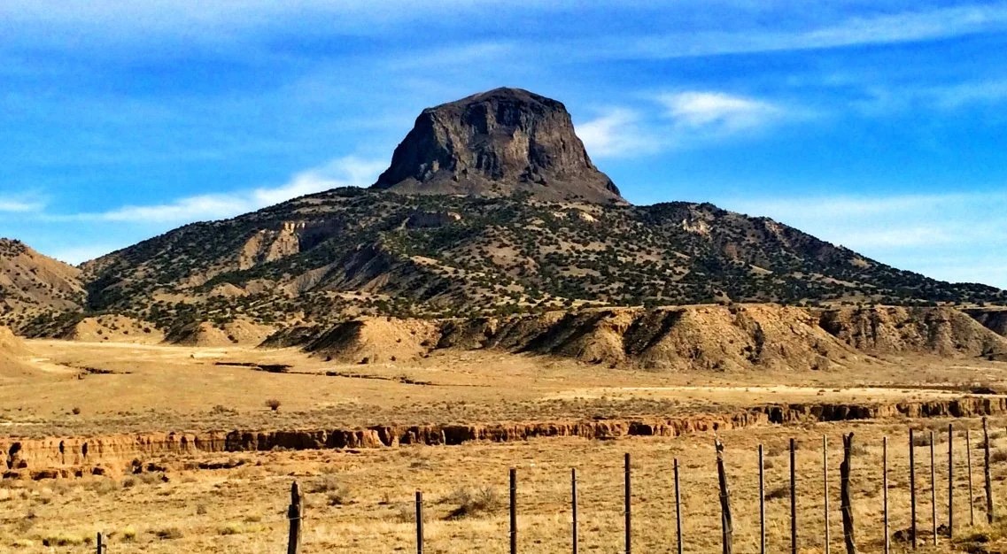
mountains and canyons, mixed media on canvas, 25×18 inches After our section on the Hayduke we headed to New Mexico to climb a few more NM county highpoints; Beautiful Mountain, Mt Taylor (one we had climbed while thru-hiking the CDT, but didn’t get a picture), and Alejandro 9166 (near Mt Taylor). From the Summit of Taylor we saw the beautiful Rio Puerco Valley and Cabezon Peak, a peak I fell in love with on the CDT and decided, though not a county highpoint, that we needed to climb it, and so we did.The quest to climb little bumps and giants in the sky always feels like a journey home, perhaps because it is often a journey inward, one of letting go, and embracing my connection to the land, the sky, and all that surrounds a place: the mountain, like a castle in the sky. In just a few short days my affection for New Mexico was rekindled, perhaps partially from my nostalgia and love of the CDT, but it really is an enchanted land.Mountains and Canyons, 25″x18″, mixed media on canvas. Inspired by my recent time in Utah.