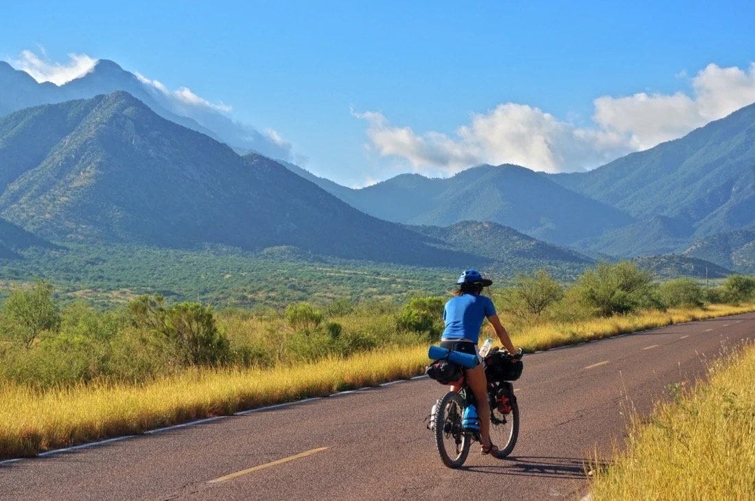
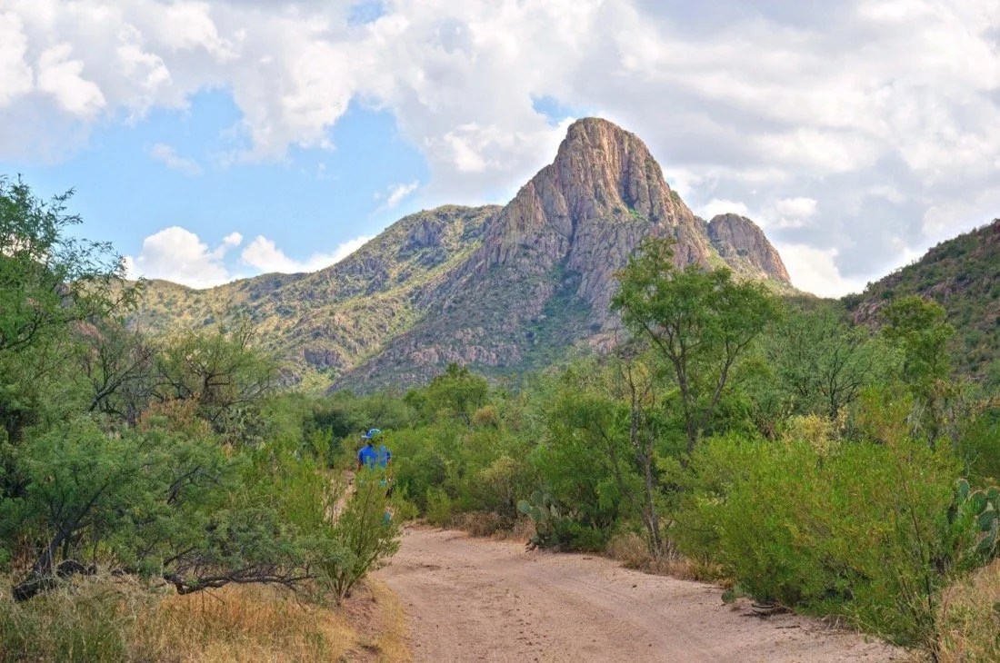
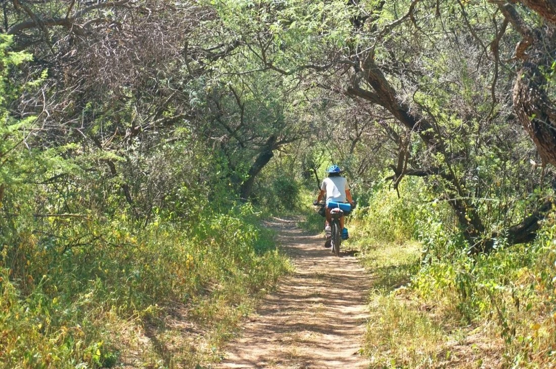
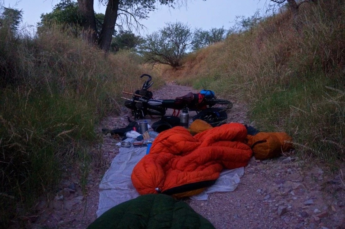
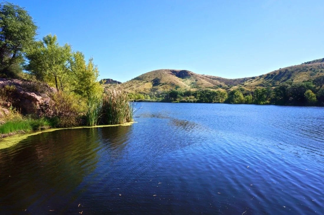
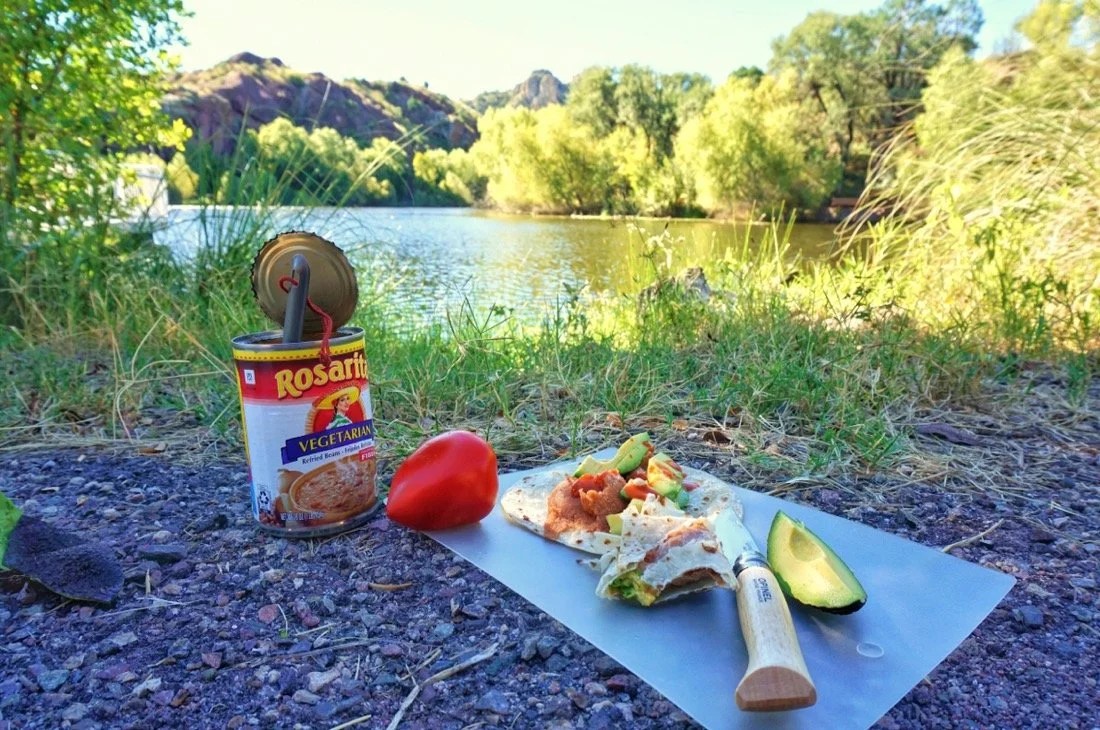
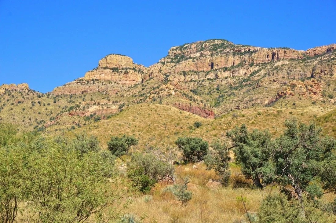
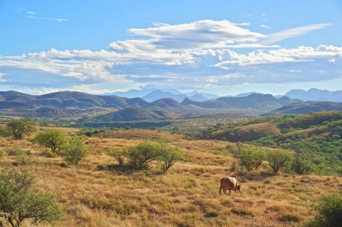
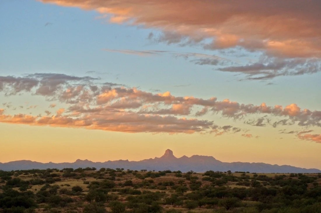
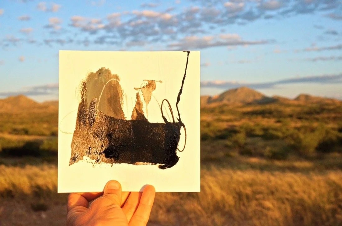
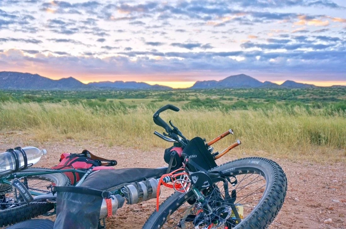
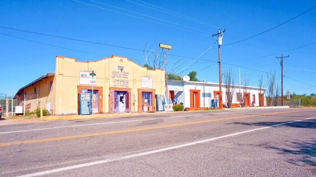
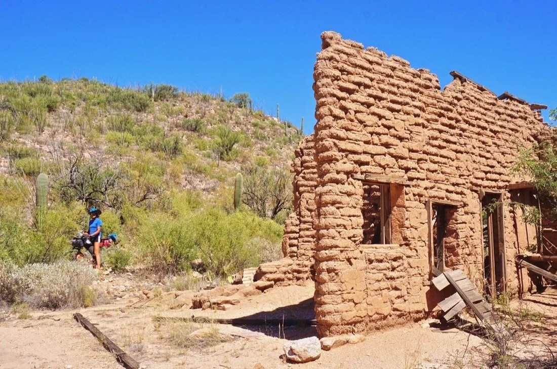
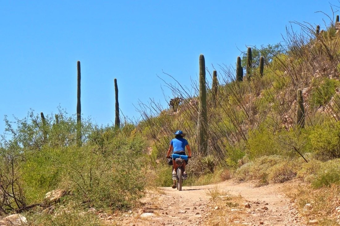
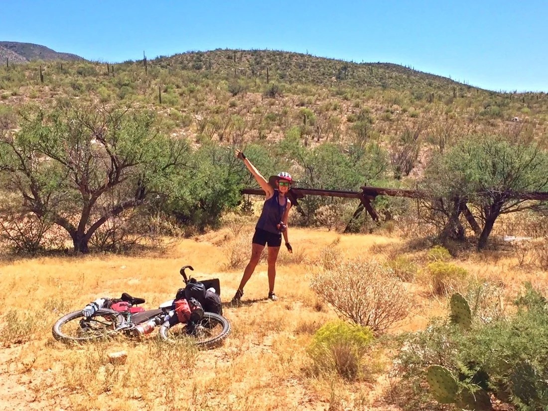
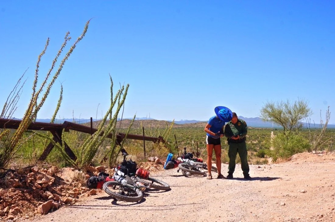
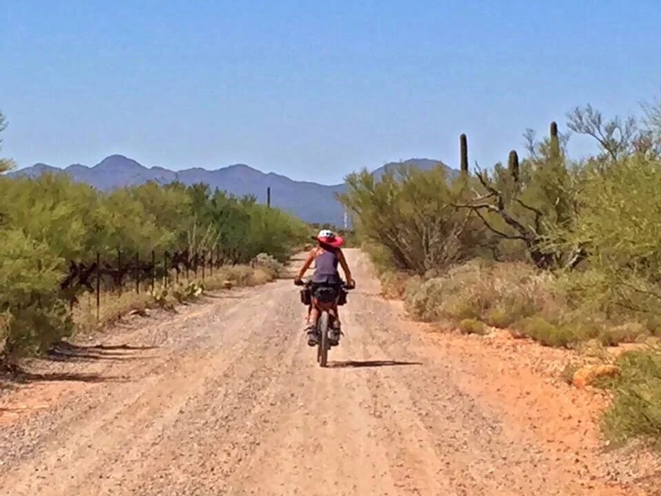
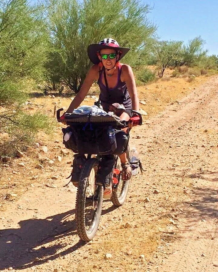
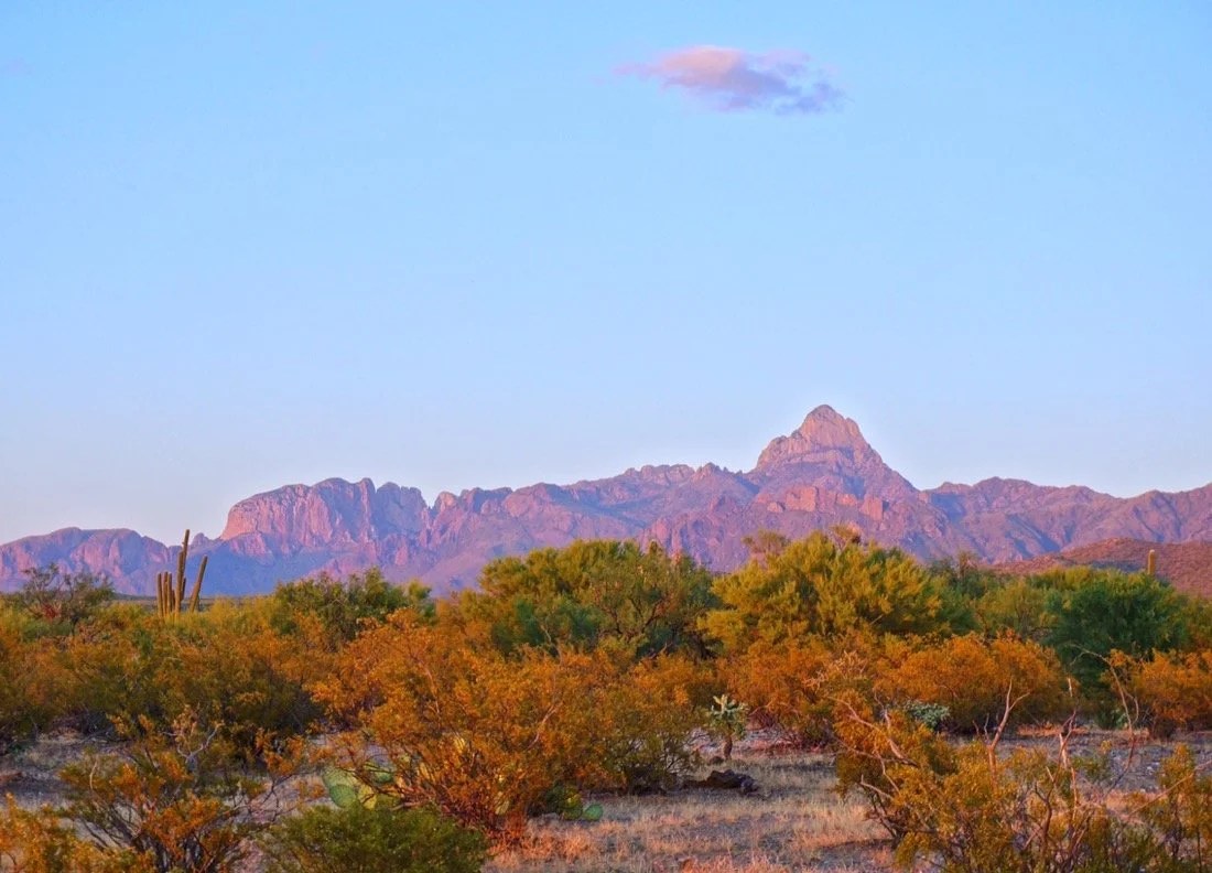
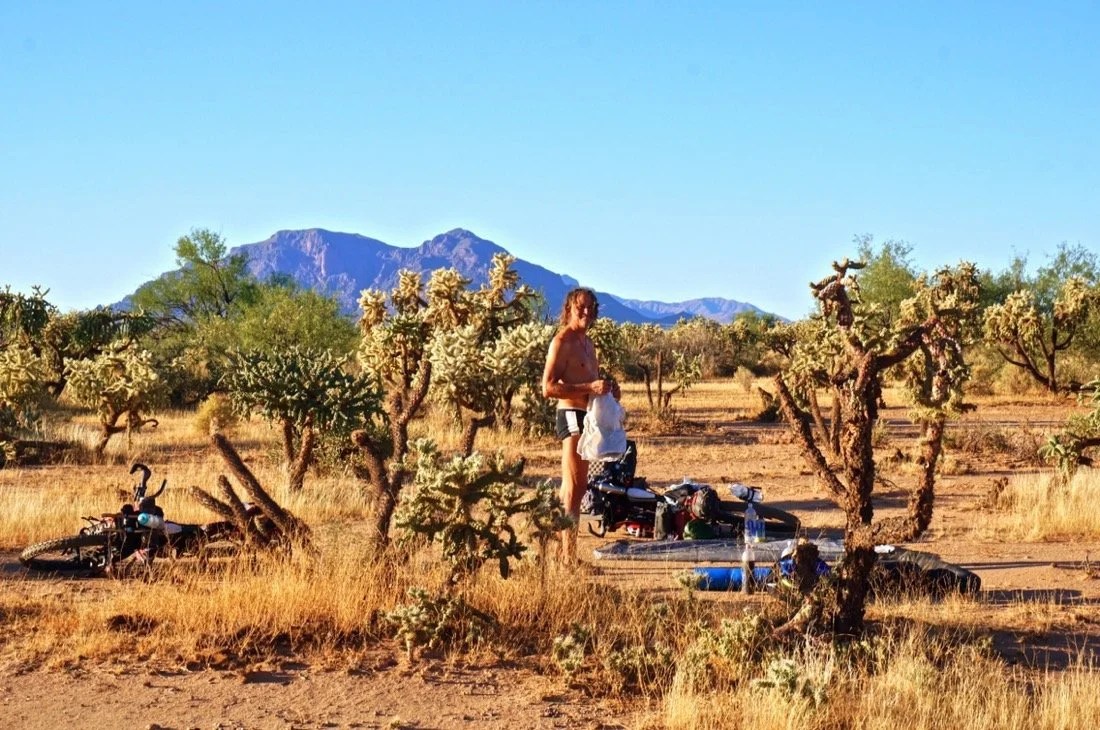
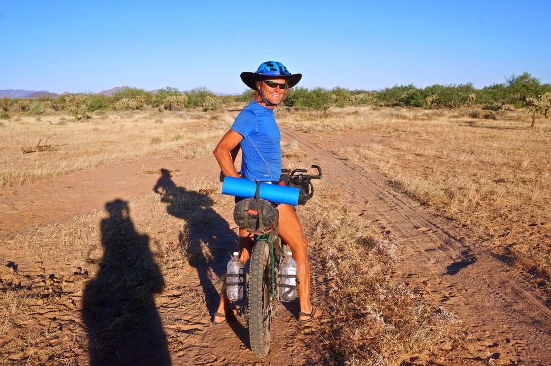
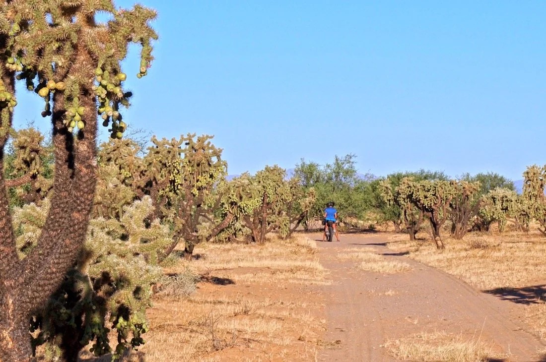
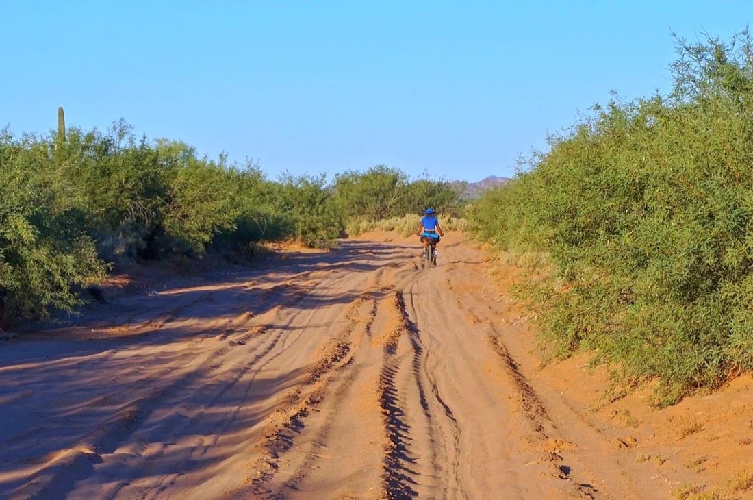
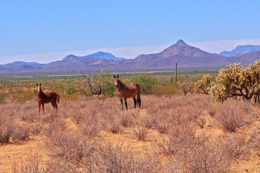
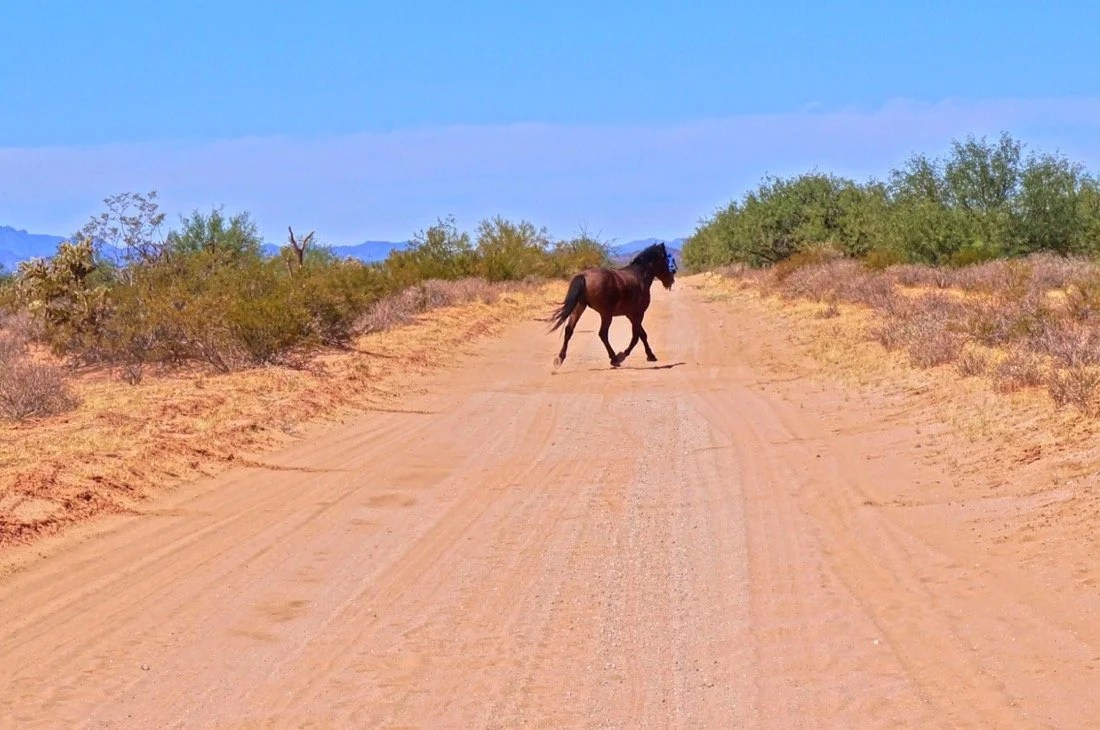
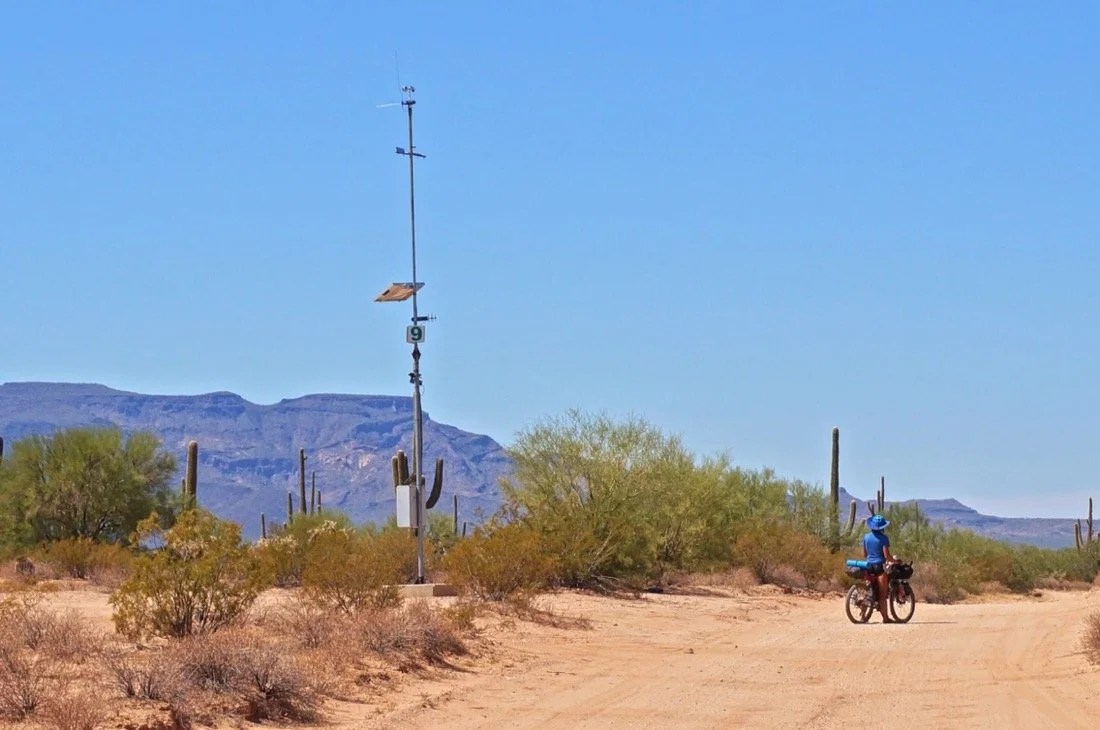
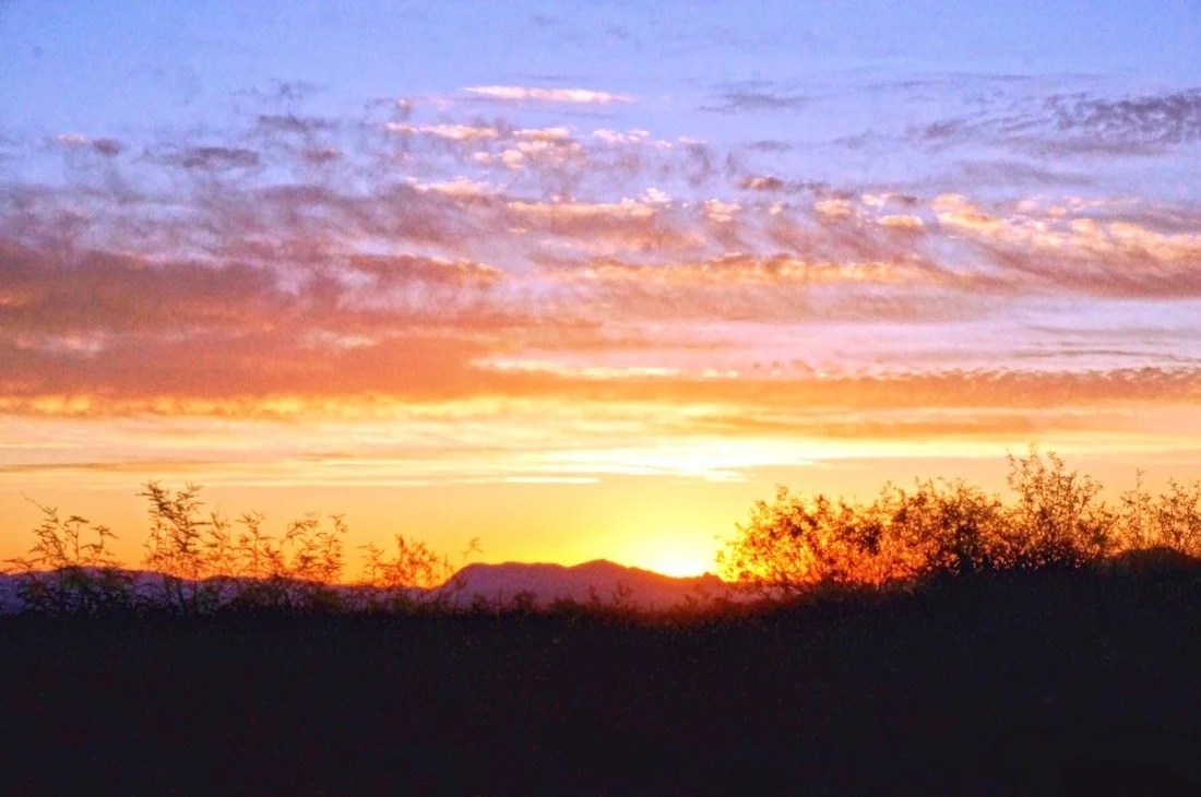
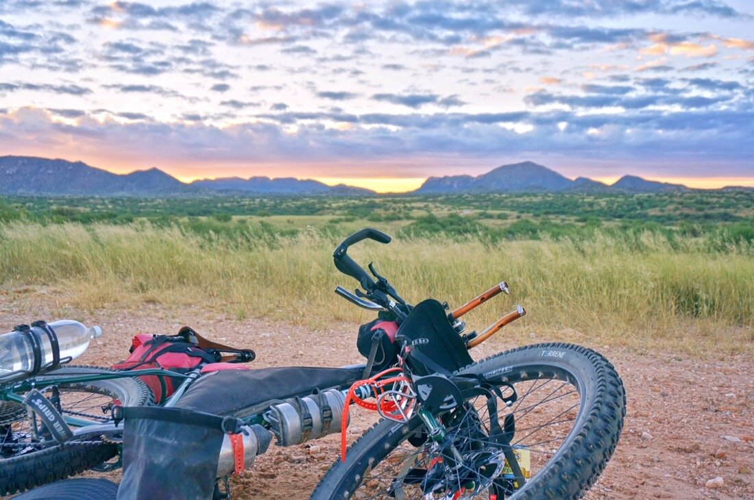
We’ve come 14 km from home so far. How far is it to Argentina? Something like that, maybe a little further, Neon replied. Ok, I said, I’ll need to get more water then.We filled our canteens at the Elephant Head trailhead and continued on; Neon thinking we’d get to the town of Amado by midday, and me shaking my head saying, maybe by tomorrow, adding “I think this trail gets harder and our bikes are heavy.” The trail was rocky and lined with catclaw for most of the singletrack portion (and two-track too); at one point a tall catclaw bush pulled me off my bike and I nearly landed in it while trying to save the fall. We pushed our bikes uphill over ledges of rock the final third until we reached a good dirt road. From there it was a swift ride into Amado where we got water and camped on the Juan Bautista de Anza Trail. People peered in from the roadside, watching us, so we moved camp a little further down the trail. In the night, three people ran by startling me awake. I watched the shooting stars for awhile until an owl landed in the tree beside our camp. It was loud, and its silhouette striking against the dark sky.The next day we took paved roads, including a section of interstate, to Tubac where we mailed a bunch of excess stuff home leaving our bikes much lighter than when we started this journey. We continued south, riding some on the Anza Trail, and the rest of the way to Rio Rico on paved roads. We arrived in Rio Rico by midday, resupplied, and headed off on a dirt road shortcut to Ruby Road (a scenic road that runs along the Mexico border between Rio Rico and Arivaca). We camped in a wash on the side of the road a few miles from Rio Rico. I took a liter shower and had my best night sleep so far since we began.The next day we continued down Ruby Road to Peña Blanca Lake, had a burrito picnic, rinsed our clothes, and washed up in the lake. The day was filled with nice riding up and over hills in a classic Sonoran Desert “old west” setting. We arrived in Arivaca the following day, resupplied, and then headed south and west on dirt roads along the Mexican Border to the border town of Sasabe. The border patrol roam these roads, but always smile and wave when we pass. We slept in the desert near Sasabe, watching the sunset paint Baboquivari in soft pinks and oranges in the fading evening light.After resupplying in Sasabe, we headed northwest over Presumido Pass in the Pozo Verde Mountains, south of Baboquivari. We descended into Tohono O’odham Nation land on the other side of the pass and continued our ride north toward Baboquivari, spending one last day and night with the mountain that captured my soul the first time I saw it seven years ago. The shooting stars have been amazing, and on this particular night Neon said “look, look, look”. I looked up and there was the biggest, and greenest, shooting star I had ever seen. He said, “That one is going to make a noise somewhere when it hits.”In the morning we continued north to Sells, and then west across another road that eventually turned to dirt, and then sand, lots and lots of sand. We camped in a chollo forest. I woke in the night to pee. In the distance I saw a blue blinking light, the first of many we would come to see. I had heard about these. They’re “help” stations along the border where if an immigrant gets desperate and thirsty enough they can push a button and the border patrol will come get them. A little while later a border patrol drove by and coyotes howled. I watched the shooting stars until I fell asleep, but woke again shortly thereafter to wild horses tromping through near our camp. We woke early and continued across the desert. We decided to take a smaller road slightly north that was hopefully less sandy. It went through what looked like old growth chollo forest, but it eventually ended. We weaved our way through the desert on cattle/horse/donkey/burro trails until we found another road that led us to a little town called Kupk. From here we caught the bigger road west to paved road that led to Pisinemo. We got water and took another dirt road west to the eastern boundary of Organ Pipe National Monument where we decided to head north on pavement and ride into Ajo on the main hwy. after eight days we were more than ready for a real shower, clean clothes, and a night or two in a real bed. And salad, on these long stretches out I crave greens!… … …I don’t really have any stories from this journey yet as everything is still seeping in and becoming real. It always takes a while for me, at the beginning of a new journey, to peel back the layers of myself and let the new places and experiences show me the way. My current thoughts are muddled up on the different stories and histories and feuds surrounding the Arizona Mexican border. These places, the people, and the long history of disputes that permeate the border areas are intriguing and challenging to understand. On our journey through, the Tohono O’odham thought the border patrol would give us a hard time. That was not our experience. The border patrol were friendly, helped us with directions, and were curious about our bikes and our journey. The border patrol thought the Tohono O’odham would give us a hard time. That was not our experience; they were friendly and curious about our journey. Everyone was worried for our safety. We saw four people, all dressed in black, obviously “illegals”; they were just hoping to go unnoticed, and never bothered us. We saw several dead donkeys and cattle decaying in the sun, hollowed out, with flies, and buzzards, and coyotes cleaning up their remains. It’s a harsh landscape on one hand, but home to many on the other hand. I don’t know this place, but in the few days I spent riding throuygh I found myself trying to imagine what it would be like to call it home.______You can sign up to receive The Redheaded Nomad’s blog posts in your email inbox; sign up at the bottom of any page on my website: theredheadednomad.comYou can also follow me on Instagram @theredheadednomad and on Facebook @redheadednomad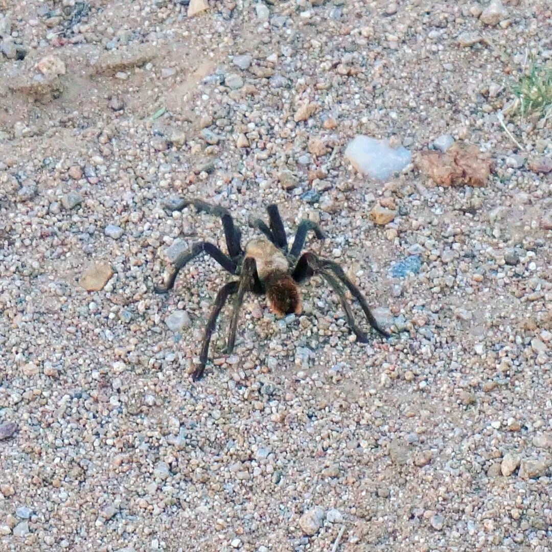







 ______ Coming next: El Camino del Diablo, The Devil’s Highway in southern Arizona.
Tag: Baboquivari
-
Riding Along The Arizona Mexico Border
-
The Sacred Mountain
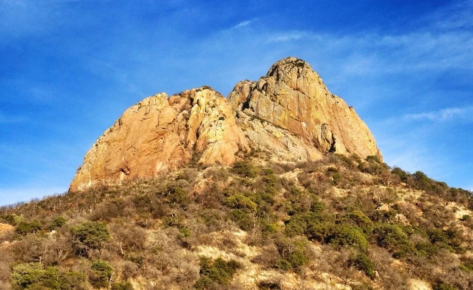
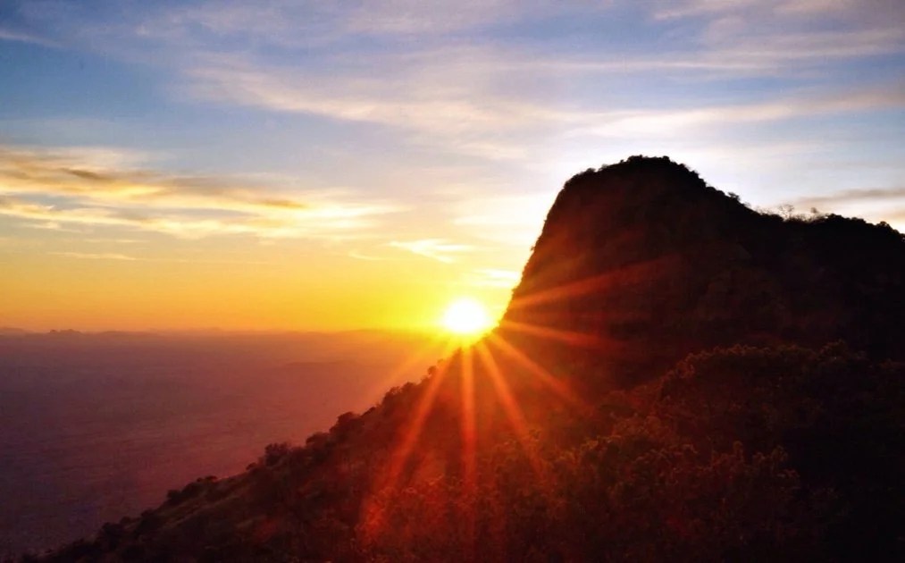
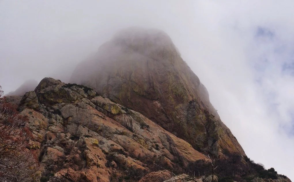
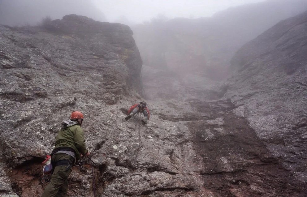
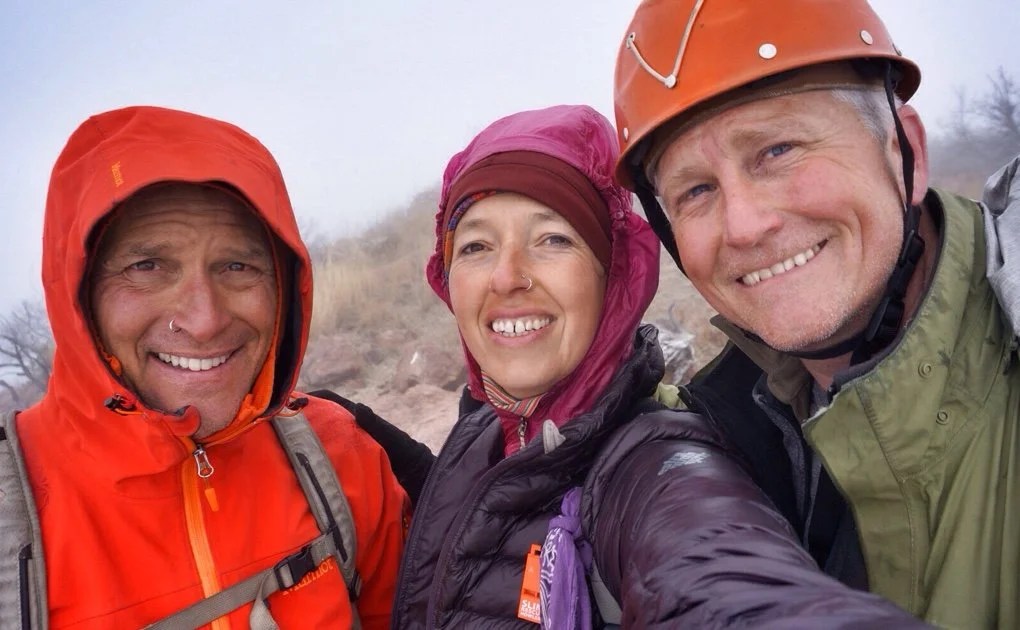
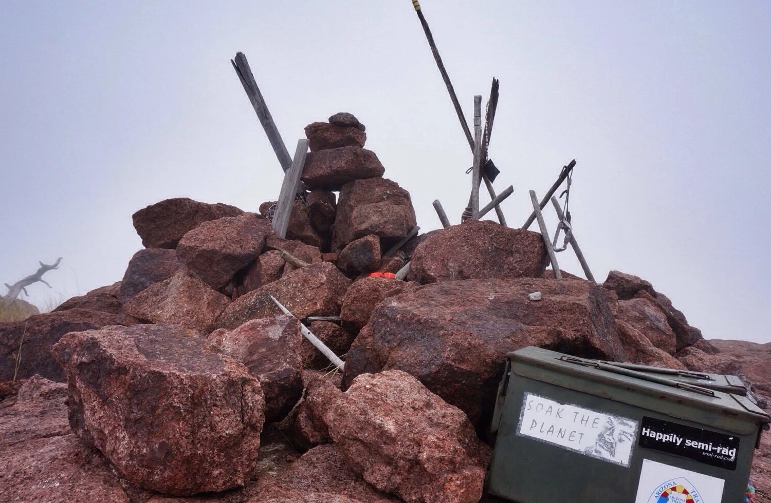
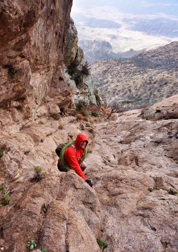
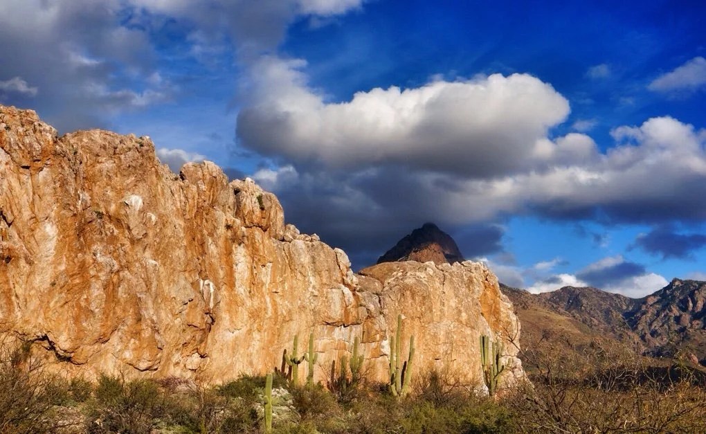
I often muse about where a journey begins. This last weekend we summited Baboquivari (Babo), the sacred peak of the Tohono O’odam Nation in southern Arizona. This particular peak captured my attention five years ago as we crested over the rise on I-10, Tucson came into view, and I was immediately drawn to the pointy peak way out on the western horizon. Right there, that moment, it had me, I thought, this is why I moved here, I’m going to climb that peak.As we settled into to our new desert lives and I researched climbing Babo, it became apparent that this was no ordinary peak, and not just because I had fallen in love with it, but because it has such meaning, stories, and mysteries woven into its presence and history. On top of that, accounts of climbing Babo were notoriously filled with stories of getting lost, bad rappels, and unintended bivies. Over the years it became a legend in my mind, something I wanted, needed in some way, but began to feel was too big and mysterious. Maybe it was too hard, maybe we should do more desert climbing first, maybe it wasn’t the right season… There were always lots of reasons why we didn’t climb it.But then when I hurt my ankle a couple of months ago, I was staring out across the valley and I knew it was time to go, time to get a closer look at that beautiful peak. It was calling me. We went. I limped my way to the base of Babo. I left a small offering for I’itoli, the Tohono O’odam God that lives at the base of the peak, and said we would be back for the summit. I sat for a few minutes in the sun to rest my foot and soak in the moment when a little yellow butterfly flew down to my hurt ankle and then up to my face. I knew we would make the summit after that moment. I had such a collision of thoughts, chalked it all up to coincidence, but nevertheless, I’m sure that little yellow butterfly told me everything was going to be ok and the summit was ours if we wanted it. And the summit almost happened perfectly, or perhaps it did.This last weekend we summited Babo. We decided to climb it in two days. The first afternoon we set up a base camp at the saddle. It was early, but it was sunny and beautiful and it was nice to enjoy a relaxing day under the spell of Babo. As the sun set the winds pick up, and up, and up. We cowboy camped that night, though I don’t think we slept much. The wind whipped across our camp all night long, continually filling our sleeping bags with so much air I thought we might take off like a hot air balloon into the night sky. I watched the clouds swirl with the winds, twisting in and out and back and forth across my view. There were so many stars. The stars are amazing in the clear skies of southern Arizona, but up here, there were more.We woke groggy and cold. The clouds had moved in. They were so thick that we couldn’t see Babo anymore. Neon had packed a stove so we had hot coffee and pondered the dangers of climbing in high winds, misty fog, and on wet rock. The sunshine began to peek through the clouds and finally it was decided that we would hike to the base of the climb and then perhaps the weather would clear.We made our way up the switchbacks, up the Great Ramp, through the oak thicket, and to the base of the climb. The clouds never cleared, but as we turned to the north side of the peak and to the base of the roped climb the winds slowed enough to be bearable. Neon decided the climb looked ok, though through the fog we couldn’t see the upper reaches of it. We set up the ropes, climbed, scrambled, and finally walked the rest of the way to the summit. Oddly, the winds were mild at the summit. There was no view through the clouds, but it is always sweet to see the summit cairn. We left our offerings. I said a silent thank you and we made our way off the summit with only one wrong turn.The winds picked up again as we made our way back to the Great Ramp, but the air warmed as we made our way further down the mountainside. All in all it was a perfect summit and we felt triumphant. We camped that night near the petroglyphs at Picture Rocks, graced by the presence of a Cara Cara. We could see Babo, still in the clouds. My thoughts drifted to where this journey began… Was it the previous day, was it a couple of months ago when I felt the need to take a closer look, was it five years ago when we crested the rise on I-10 and I caught sight of Babo for the first time? Perhaps it was 10 years ago, in Italy, climbing for my very first time? Maybe it was when I was ten and Mt Rainier, in Washington state, called to me and I knew I would climb it some day, which I did. Or perhaps it was that hillside behind our house, when I was four, that always lured me up it to pick the apples from the trees that grew there. Everything often feels so tied together. One thing leads to another and I find myself unable to declare where it is the journey began or where it will take me next.
 _
-
When the Mountain Calls
When the mountain calls, I must go. And so we went. At 7,730, Baboquivari towers above the surrounding valleys not far from the Mexican border. It is a technical climb to reach its summit, requiring ropes and gear. It is an iconic peak that has been beckoning me since my first day driving into Tucson, ~5 years ago. I can feel its pull and I know it watches me every morning and every sunset from where we sit in the Santa Rita Mountains.
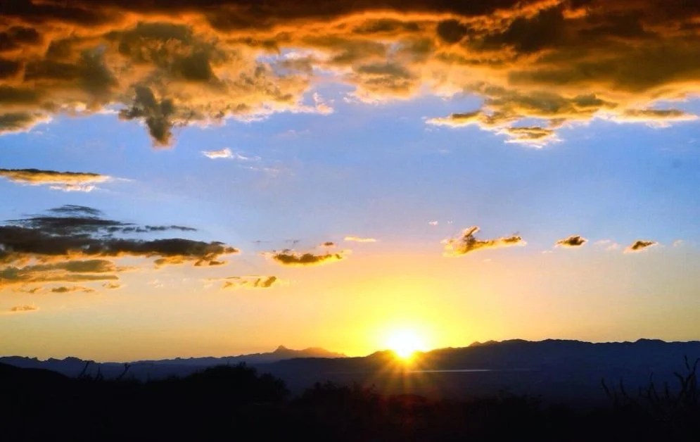 Two weeks ago on Christmas day Neon and I headed out for an afternoon motorcycle ride. I didn’t make it very far before my chest hit the dirt, skidding, and then the crunch of the motorcycle dragging against my right ankle sent the afternoon in a very different direction. There goes our plans for a motorcycle trip to Baja. My heart sank as I tried pulling myself out of the dirt.The days passed and the swelling subsided. I’m not good at being sedentary for long periods. I sat in the studio looking out at Baboquivari, the beautiful peak that sits across the Santa Cruz Valley in our western view. I looked at the purple bruising still visible beneath the skin on my foot. I looked back at Babo and announced that we needed to get out, but not just anywhere, I wanted to visit Babo. And so we went.
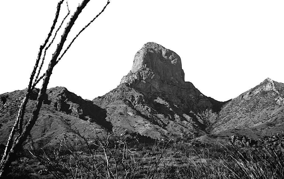 The next day we packed up the truck for an overnight. I also packed my trekking poles, three different ankle braces, and two Ace Bandages. We headed south through the town of Arivaca and then west to get a closer look at the east side of Babo. Up close on this side it becomes even more of a rock tower standing like a stone statue over the surrounding desert. It was still early in the day so we decided to head over to Baboquivari Park on the west side of the peak on Tohono O’odham Nation Indian land.
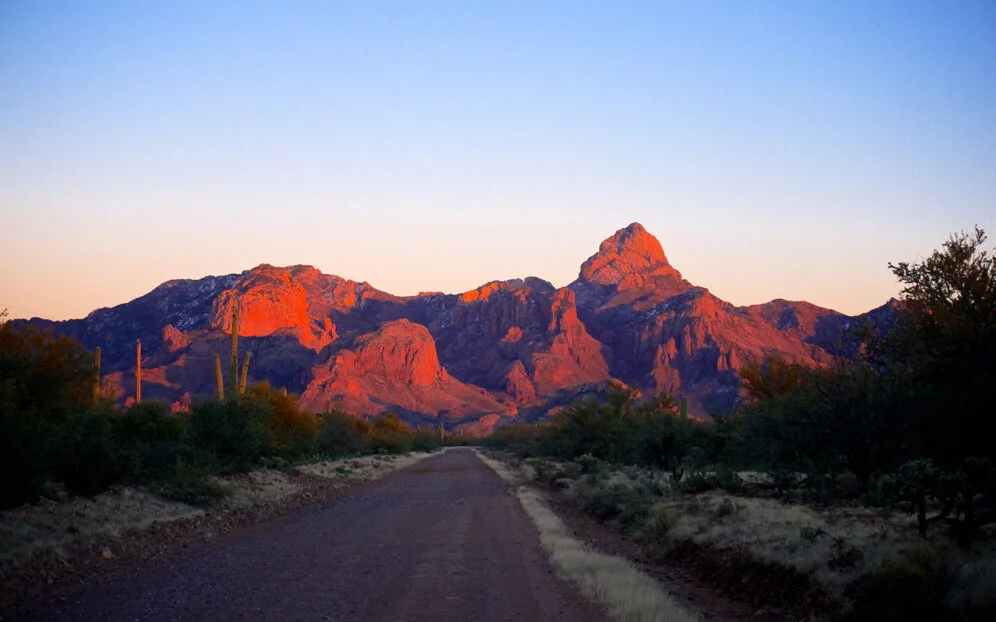
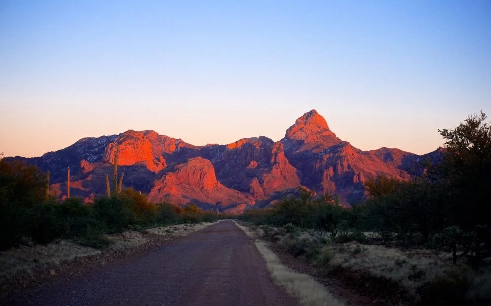 We arrived as the sun was setting. Stories of I’itoli, the man in the maze, the Tohono O’odham God that lives in a cave at the base of Babo echoed through my thoughts. We’re here. The land approaching the peak was like a cathedral and glowed orange against the setting sun. It was perfect.We pulled into camp as it got dark, cracked a bottle of port, and watched the stars emerge. Orion’s Belt, three beautiful stars, first appeared in the notch where Babo was glowing in the dim evening light. There is magic here and I felt privileged to be in its presence.
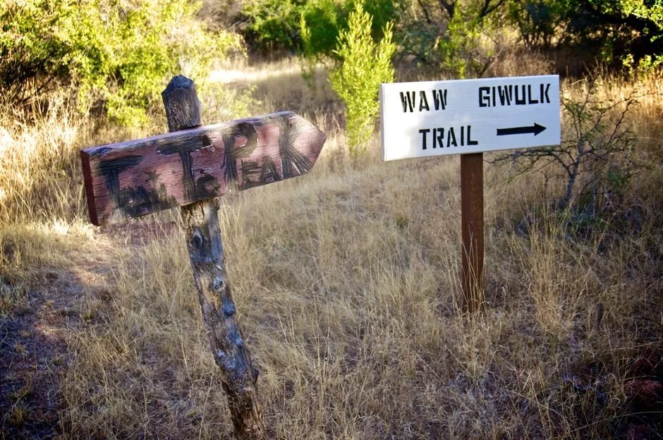 The morning came soon enough. I stretched out my trekking poles, wrapped up my ankle, and packed enough food and water for the day. First, we headed twenty minutes up the wrong trail before turning back. Neon grumbled as I said, “no matter, I have no plans for the day and it’s all beautiful.” I did worry though that perhaps that “wrong way” was all my ankle was up for. We found the trail to the summit as the sun was rising over the ridge. The trail got steeper and rockier and I thought, “Ok, here we go,” as Neon was secretly thinking, “Ok, I guess we’re turning around now.” But me and my ankle kept stepping forward. The more steps I took, the more limber my ankle felt. I kept looking down at my foot to see if it was swelling, but it was fine.
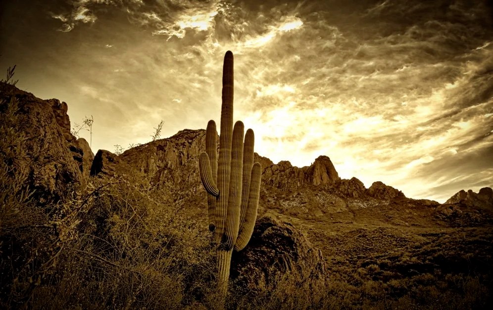
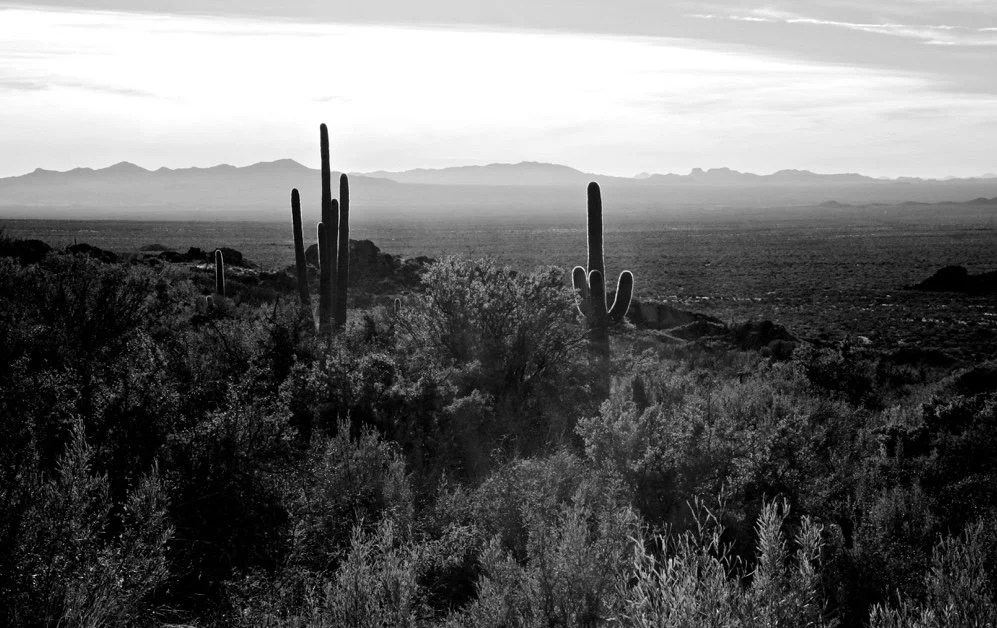
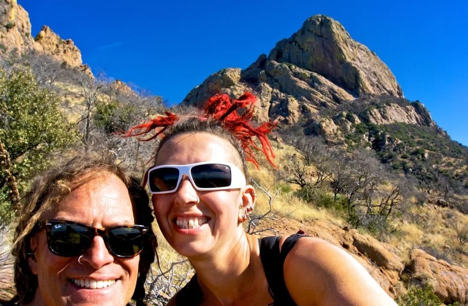 We made the saddle. Babo was in full view now. I don’t know what it is about spirey-summits, but they get my attention every time. We kept going all the way to where the real climbing starts. Neon scrambled up the rocks a little further while I rested my ankle. As I sat there looking out across the vast landscape a little yellow butterfly appeared. It flew around my hurt ankle then up to my face before it flew away. What a strange moment. I felt as though I had just been blessed by a butterfly. I smiled, and then smiled again shaking my head. Neon returned and we made an offering of Jager to I’itoli announcing that we would be back for the summit when my ankle healed.
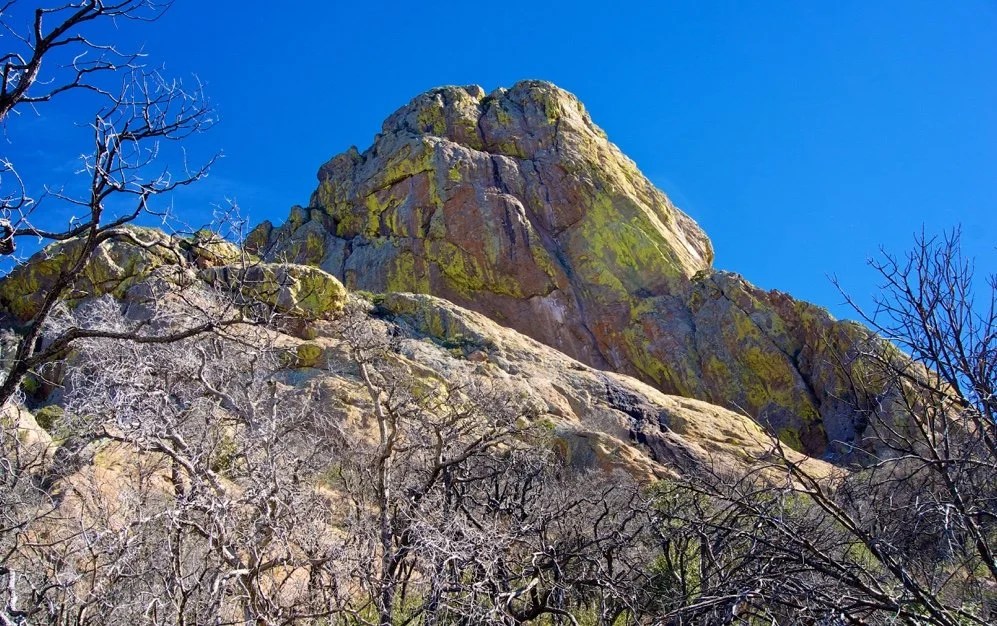
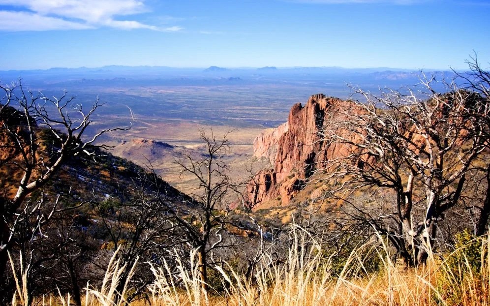
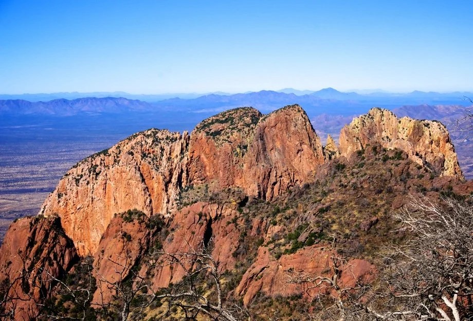
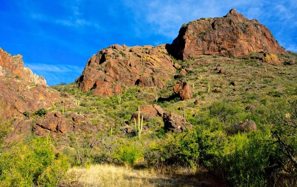 We headed down the trail. Still limping a bit Neon gave my a new nick-name, “Hobblena.” We made it back to the truck just before sunset, sipped some port and recounted the day. We watched Orion’s Belt emerge again in the notch before turning in for the night.

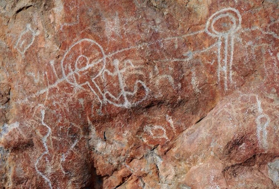
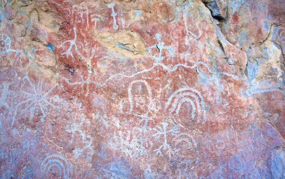 The next morning we stopped at Picture Rock before leaving Baboquivari Park. As we parked I noticed what looked like a very large animal on the top of Picture Rock. We walked closer. Now I could see that it was two very large birds. They greeted us as the sun rose over the ridge near Babo. We walked down the trail looking for petroglyphs. I kept looking back at the birds. They are so big, I announced. I wonder what they are. We found the petroglyphs. There were so many and there were newer ones drawn on top of old faded ones.
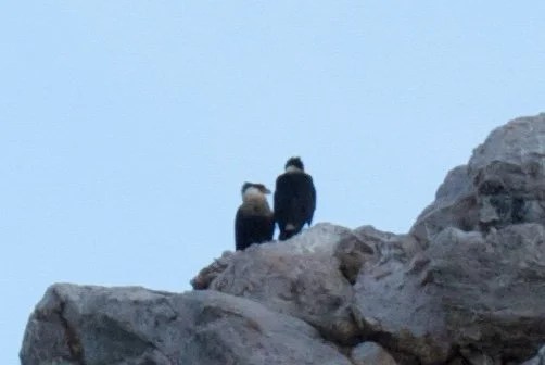 We drove home feeling satisfied with our mini expedition. I later found out that the birds are Northern Crested Caracara. It was two days of magic and I am happy that I listened when the mountain called._