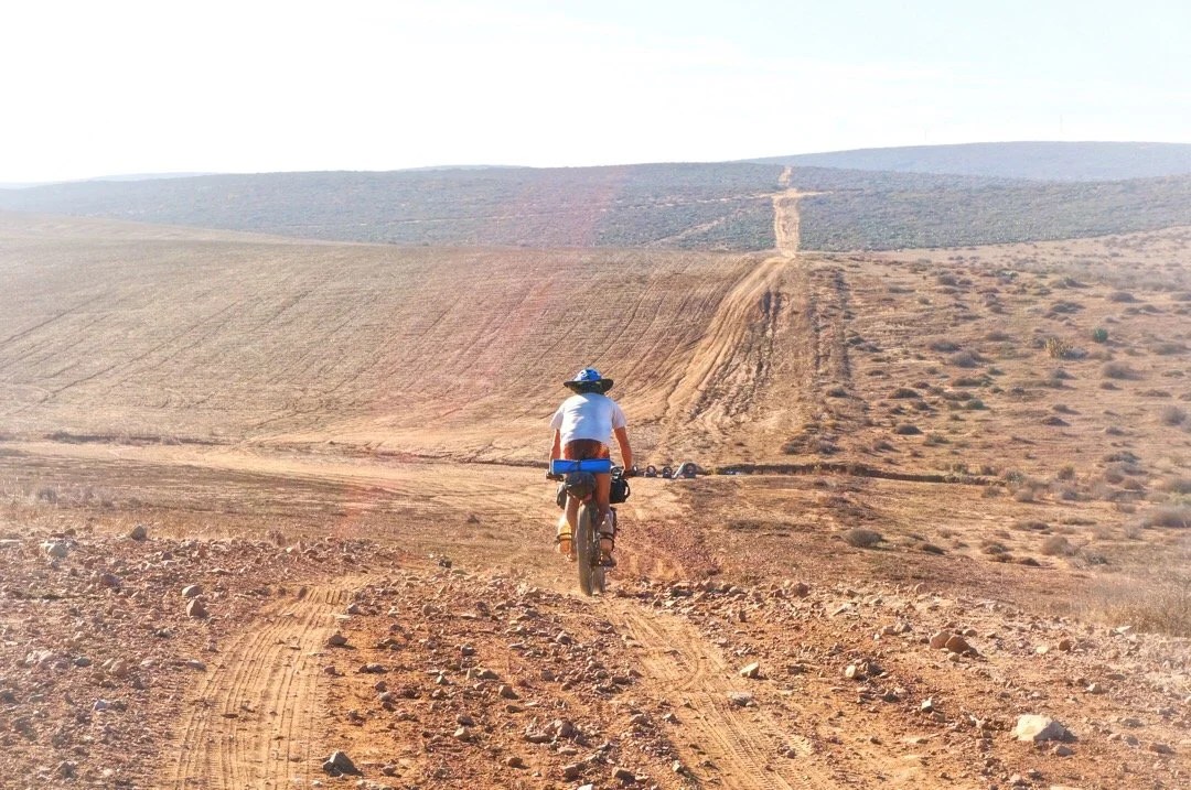
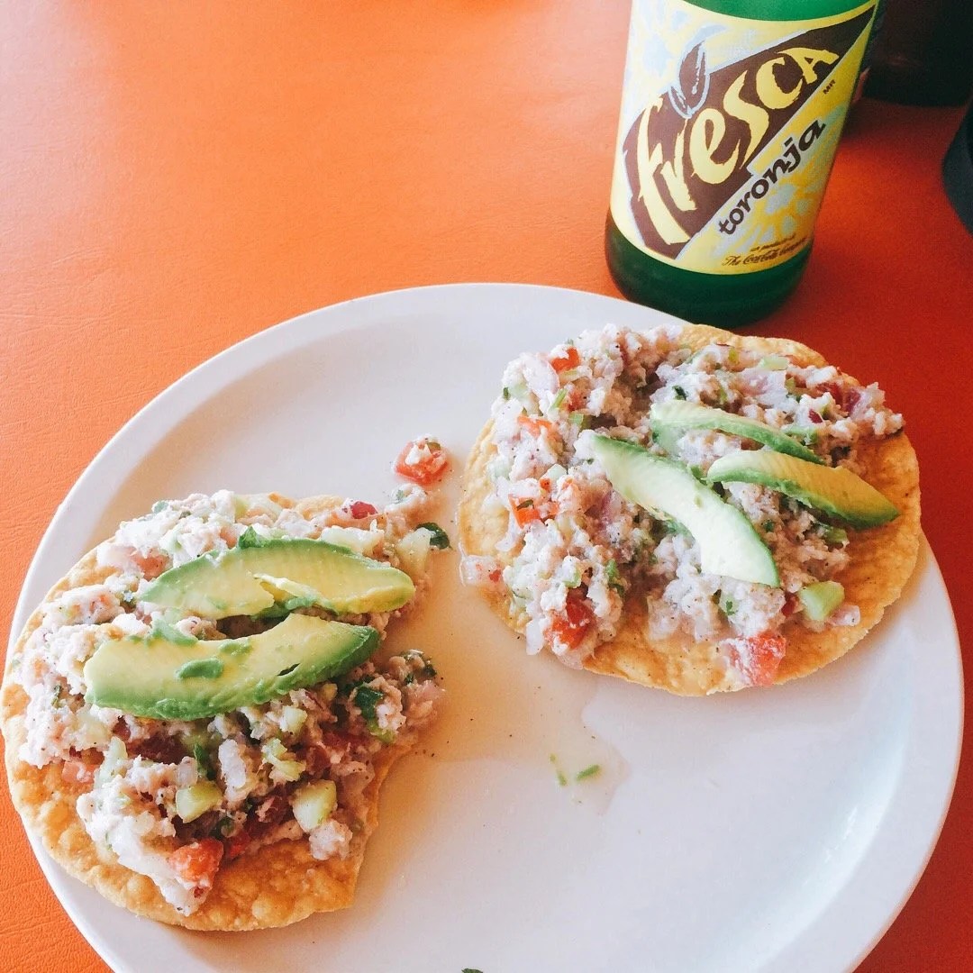
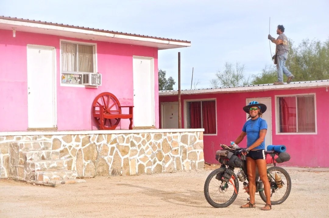
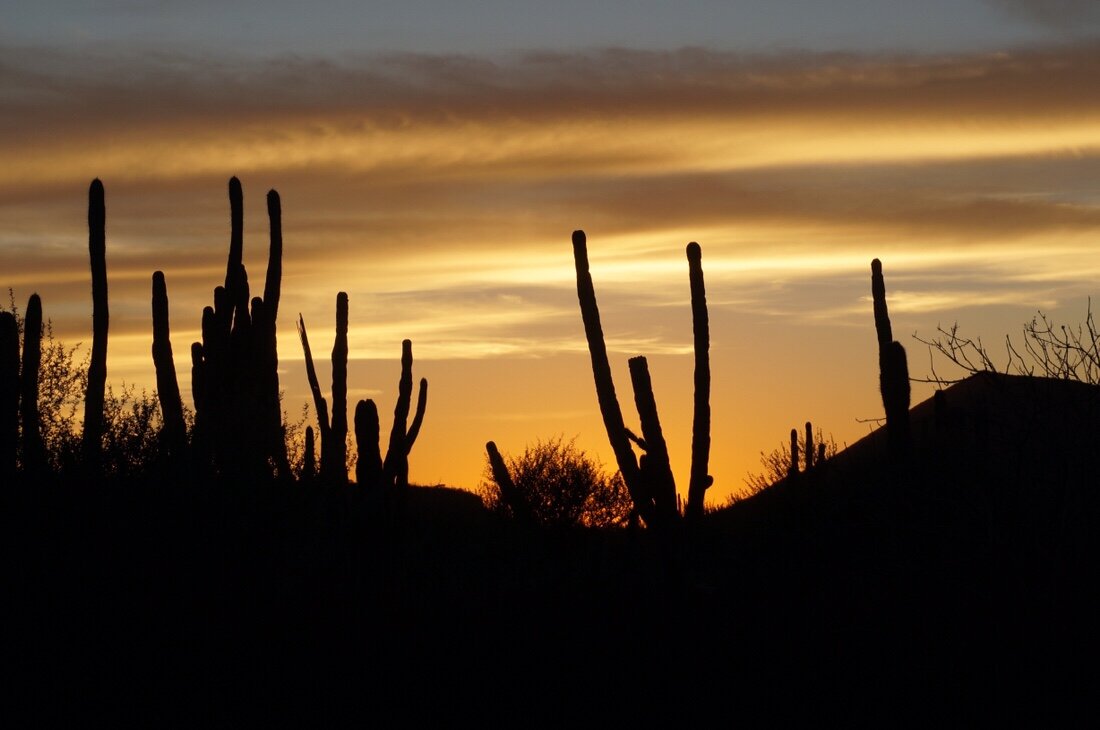
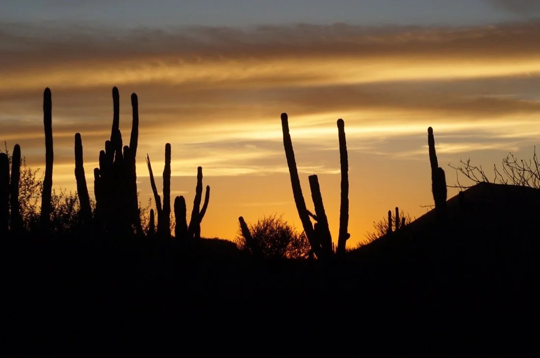
“Vicente Guerrero to Cataviña”. I’m lying in a bed in a pink hotel in Cataviña. It’s dark in the room, though it’s still early in the night; they only run the generator for a few hours in the evening. The whole town, the bit there is, is powered by generators, for brief periods of time. All is quiet now, even the highway out front is quiet; the only sound is the donkey out back …eeh orrh …eeh orrh …eeh orrh. I can’t sleep, my thoughts are spinning over all that I’ve seen in last few days. We left Vicente Guerrero a week ago, late in the afternoon. It was a gentle ride out of town, past agricultural fields, to a hidden camp up on a hill with an amazing sunset view. The next morning was an easy cruise, all the way to San Quintìn, where we stopped for ceviche tostadas at a little roadside loncheria. We rode out into the salt flats, and then south toward the ocean, trying our best to avoid riding through the salt water that has spilled over the road. We turn more inland through sandy whoop-de-doos, and then back to the salt flats again, occasionally hitting a bit of mud. A bit further, we miss a turn, so we turn around to get back on route. We find our road, with thick, heavy, clay mud. I ride, maybe a hundred feet, my tires are coated, my chain heavy with mud at the front derailleur. I pull my bike into the brush, slipping a bit in the mud as I walk. I catch up to Neon; maybe we should go back and take the other road?, I ask… he agrees. Twenty more feet through the mud, and my tires won’t even turn, I drag my bike sideways back into the brush, and pull it. The mud isn’t budging. I stop and remove as much mud as possible with my hands, then finally make it back to the sandy road. A short ride later and we’re on the beach. The sand is perfect, firm, easy riding. There are people way out in the water, swishing their feet back and forth, and then reaching down into the water. Maybe they’re digging for clams, I wonder. The sun is low. We set up camp in some tiny dunes near the edge of a little town called Olivia.The morning brings pink clouds. My sleeping bag is heavy with dew, everything is wet. We ride into the next little town, Nuevo Odisea, wash our bikes at a car wash, buy food and water, and then start climbing through the mountains, where I see my first Cardon cactus. They look a lot like Saguaros, I think. These are the things that propel my ride; I have lists of stuff I want to see, little experiences I’d like to have. We camp at the top of a hill and watch the sunset, and rise, through endless Agave and a few isolated Cardon.The next day is slow, rough, eroded roads. I spend a lot of the day pushing my bike. I’m worried about running out of water. I had thought I had plenty for this long stretch without water, 106 kilometers. But the sun is hot, and all this “hike-a-bike” is hard work. We finally climb up the highest point to a pass with a long down hill. I’m concentrating on the steep road, when I see my first Cirio tree, and then more, and more, until we descend into what looks like a fairytale forest of Cirio trees. We camp near a group of tall Cirios, a few Cardon, and a cactus that looks like it has fuzzy heads. I wake occasionally in the night to see if they’re all still there, or if I’ve only dreamt of them. In the morning I tell Neon that with how tall and crazy cool these trees are, I keep expecting to see a giraffe. He says, “I keep expecting to see a brontosaurus.”Thankfully the road is easy now and we cruise into our next food stop in just a few hours, a restaurant on MEX-1 at El Sacrificio. It’s a small stone building, very hand built. There is a man sitting out front. He waves us in and motions for us to park our bikes anywhere. We walk in; there are two tables with bright red chairs on the left, and a small living room with a tv on the right. A few steps up, there are a couple of cabinets with snacks for sell, and a kitchen. The lady starts telling us what she has available, and a young girl and the man start getting things ready. I pull a juice and a liter of water from the fridge. I’m still thirsty from nearly running out of water. The young girl brings me coffee. It’s hot, almost burning my tongue, but I can’t stop drinking it. I can’t remember the last time I had hot coffee. It’s so good. I’m almost giddy with delight, surrounded by all my drinks.A short distance further down MEX-1 we buy water for another long stretch. It starts to rain a bit, but then stops. I know what these roads can be like when they’re muddy; my tires won’t even turn. We head down MEX-1 and then onto a dirt road that leads into the mountains. It starts raining again. We stop and debate about how much it might rain. The clouds are thick and moving in. We decide to go back to the highway. The highway seems pretty mellow here, not much traffic, but no shoulder either so it’s a bit overwhelming when a truck passes. We ride another thirty kilometers and then take a sandy dirt road out into the hills to camp, setting up our tent for the first time in the seven weeks since we left home.The next day we continue on MEX-1 until a little town, St Augustine, where we connect back up with our route. After a few hours we crest a pass that opens up to a rocky landscape, with large boulders and more Cardon mixed with Cirios. The area reminds me a bit of a cross between Saguaro National Park and Joshua Tree National Park. The sand is smooth and firm, easy cruising back out to the highway, then downhill most of the way to the tiny town of Cataviña, where we stop at the little pink hotel. There are people selling gasoline, out of metal gas cans, on the side of the road to tourists. A few dogs gather out front of the store. It’s dark in the store; their generator isn’t running right now. I buy a few snacks, some produce, and some almost cold beer, then return to the pink motel, and wait for the power to come on so I can charge my electronics and use the wifi. The power goes off at 8:00 pm. I light the candle on the table and watch it flicker for a while before blowing it out, then lie in bed staring at the darkness listening to the donkey out back …eeh orrh …eeh orrh …eeh orrh. An owl joins in with a few hoots, before I finally fall asleep._____________________You can sign up to receive The Redheaded Nomad’s blog posts in your email inbox; sign up at the bottom of any page on my website: theredheadednomad.comYou can also follow me on Instagram at: instagram.com/theredheadednomadand on Facebook at: facebook.com/redheadednomad_____________________Another crazy cool cactus I don’t yet know the name of…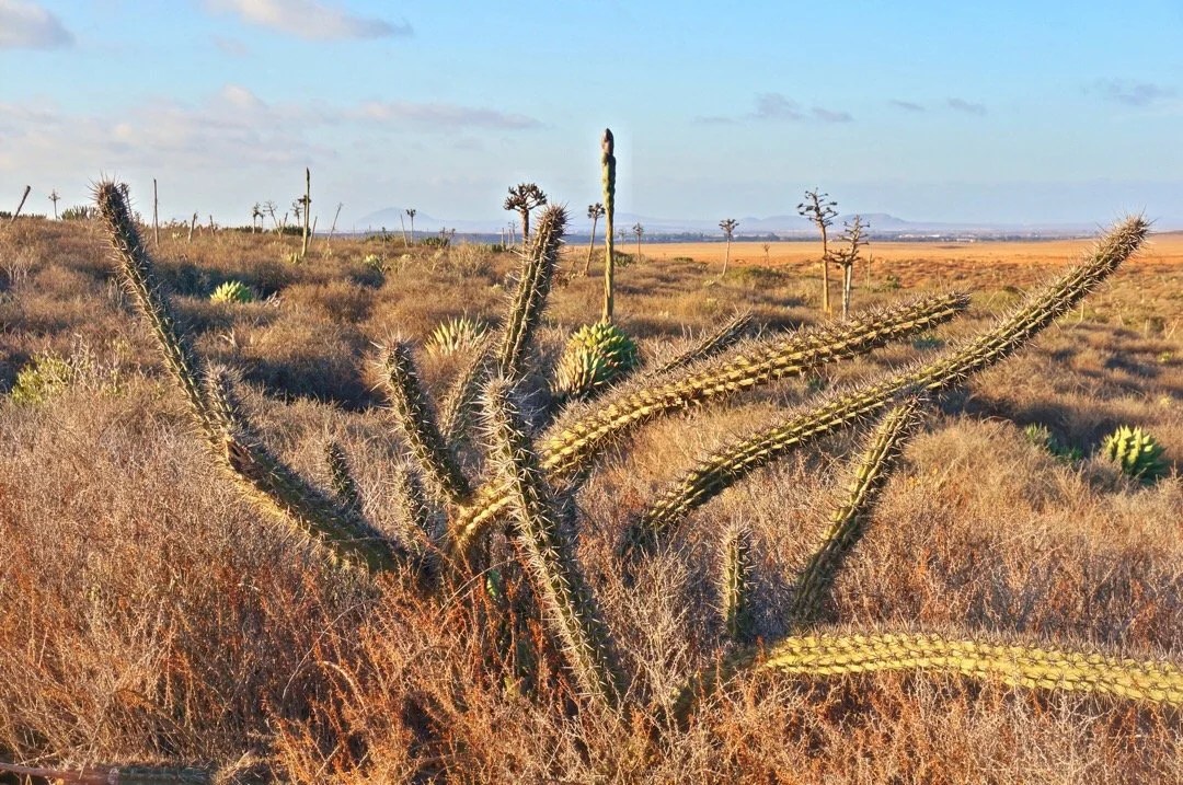 _____________________The sky ablaze in color with another amazing sunset…
 _____________________
 _____________________Big church, looking little, on a big hill, in the middle of nowhere…
 _____________________
 _____________________Roadside loncheria in San Quintìn…
 Pescado Ceviche Tostados…
 _____________________Riding out into the salt flats to the Pacific Ocean…
 This boat looked like it had a lot of stories to tell…
 _____________________These old abandoned buildings, alone in the landscape, always bring to mind the painting “Christina’s World” by Andrew Wyeth.
 _____________________

 _____________________Made it to the Pacific Ocean again…
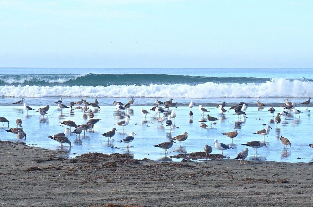
 Seagulls are so much more interesting at the beach than they are in a city…
 Beachside Sunset…
 Pink clouds at sunrise…
 Surreal sand dunes…
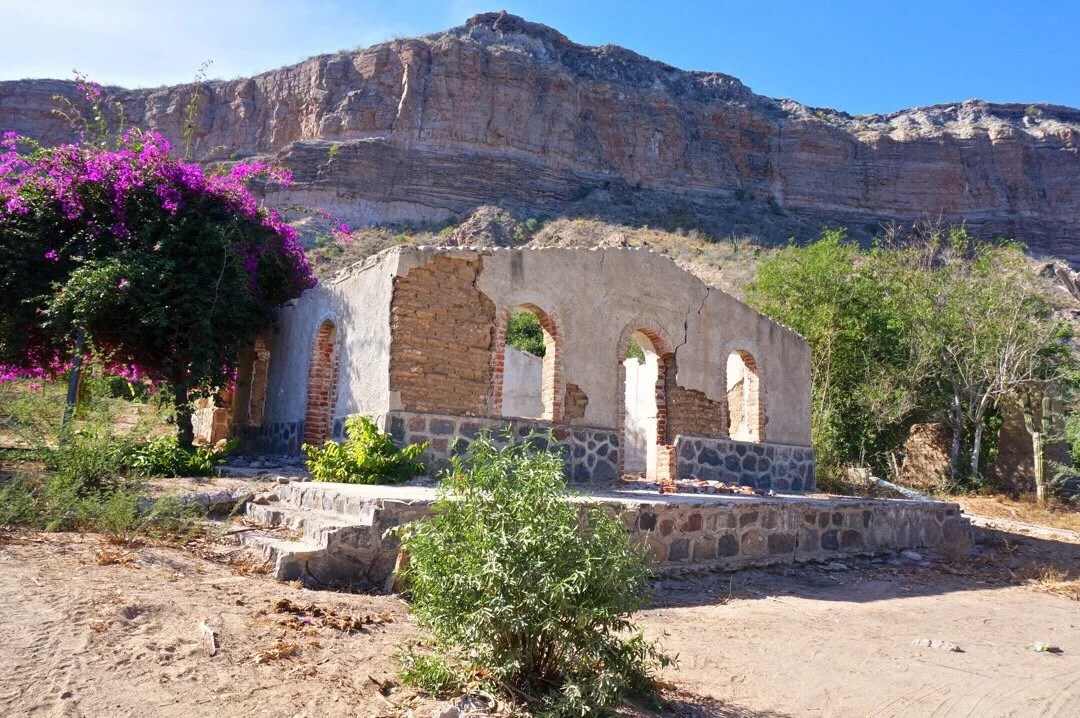
 _____________________Another old building that caught my attention. If it could talk, I’m sure it would have many stories to tell…
 _____________________Agave plants in bloom…
 _____________________Sunset with agave and a hawk…
 Sunrise…
 _____________________A lot of pushing our bikes, “hike-a-bike”, for a lot of the day.
 _____________________Cirio trees. They’re related to Ocotillo, and oh so cool looking…
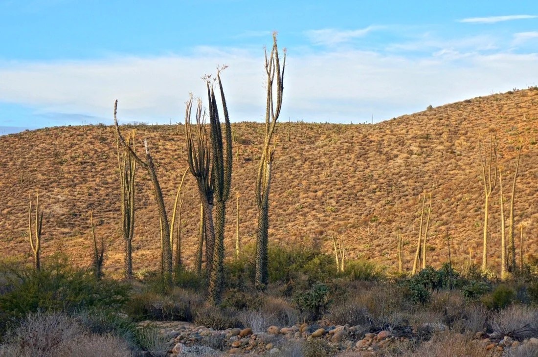 _____________________Sunrise, and our camp, with some very tall Cirio trees.
 _____________________Cirios, bike, me… these plants are so cool…
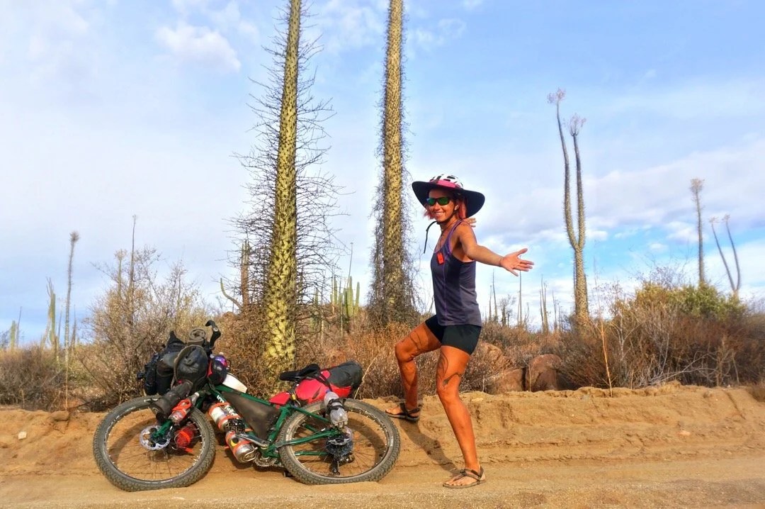 _____________________More Cirio trees. This area is called “Valle de Los Cirios” (valley of the cirios). There was an abandoned ranch out here that I had fantasies of turning into a remote art studio.

 A very large Cardon cactus
 _____________________Family home restaurant / truck stop at El Sacrificio…

 _____________________Sunrise, surrounded by creosote bush. This was the first time we’ve set up our tent in the seven weeks since we left home.
 _____________________I think this horse posed for me while I took its photo…
 _____________________More Cirios, rocky landscape
 Cardon, fuzzy headed cactus, and Cirios.
 There’s some cool stuff out here…

 _____________________The pink hotel in Cataviña…

 The wall in our room looked like an abstract painting. So much texture and history…
 _____________________
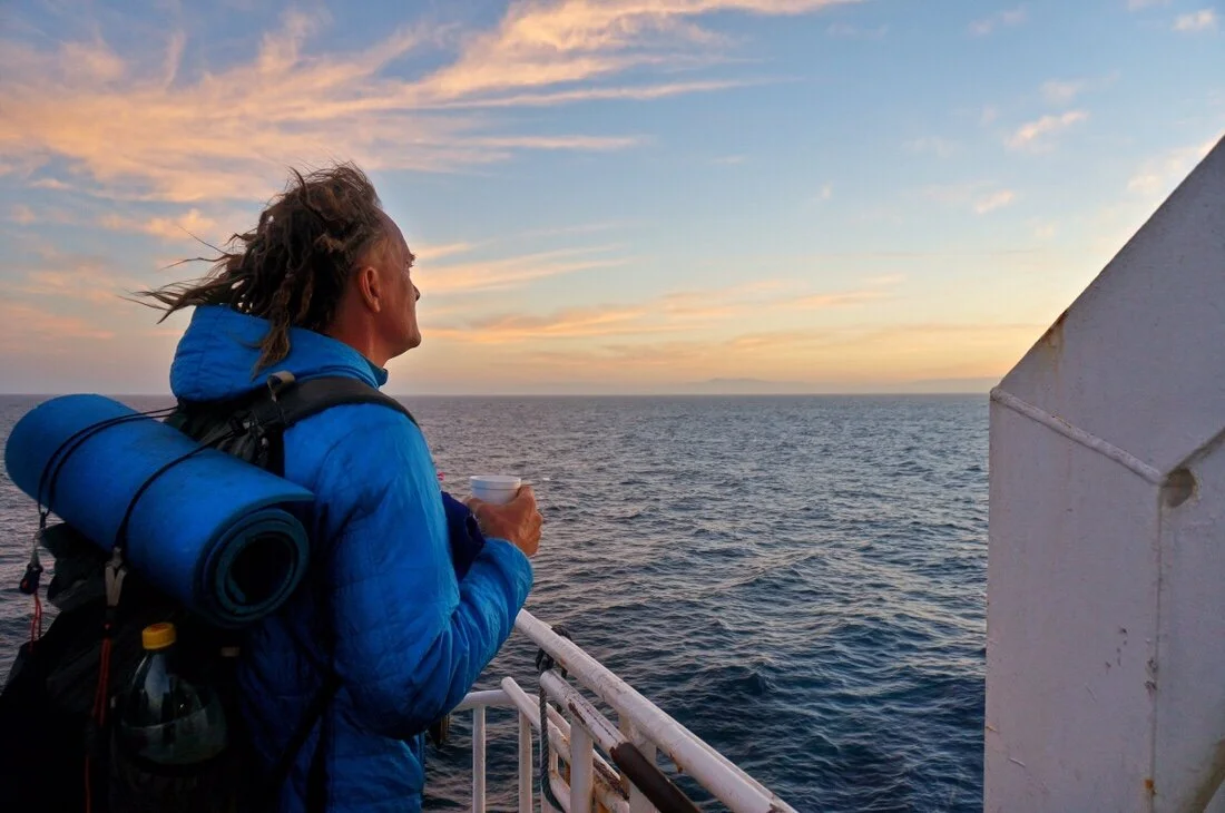
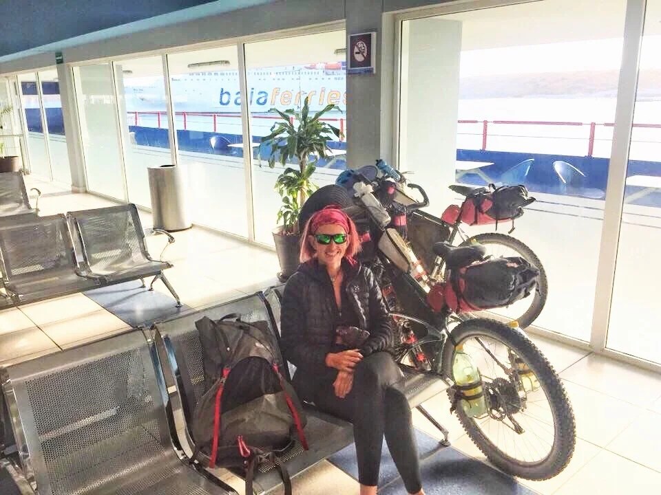
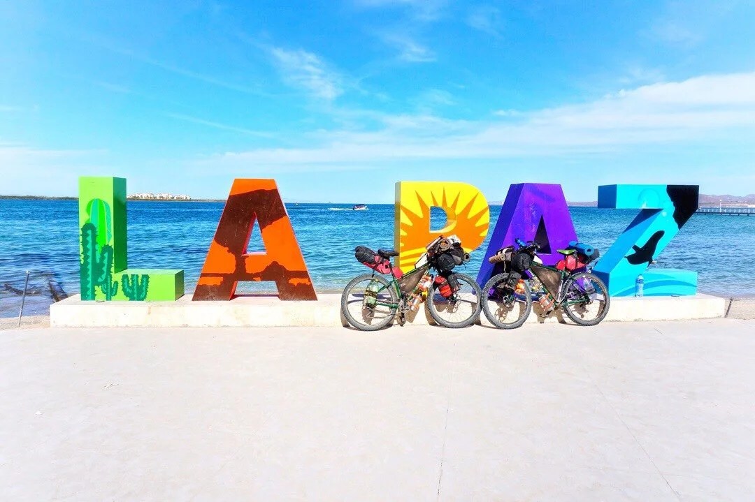
 The ride from our hotel in La Paz to the Ferry Terminal was 21 kilometers. Most of the ride was pretty mellow, with a good portion of it on sidewalks and dirt paths, but the last several kilometers to the ferry terminal had a lot more semi-truck traffic and was a lot more stressful. Thankfully truck drivers in Baja are super courteous to cyclists.

 ____Waiting outside the Baja Ferries terminal…
 ____Watching our ferry come in to dock…


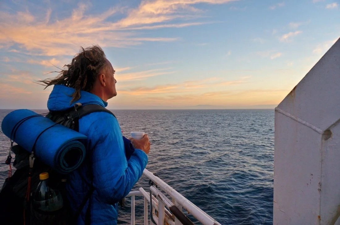
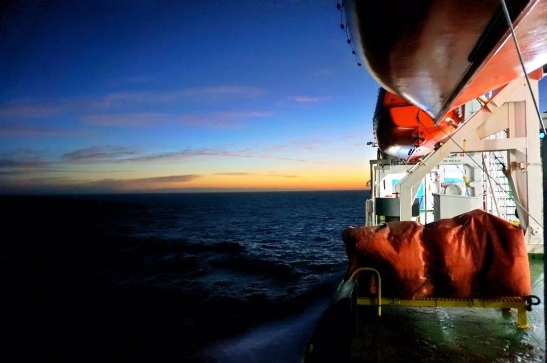
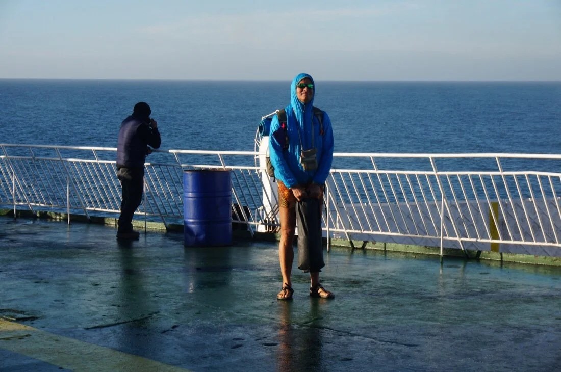
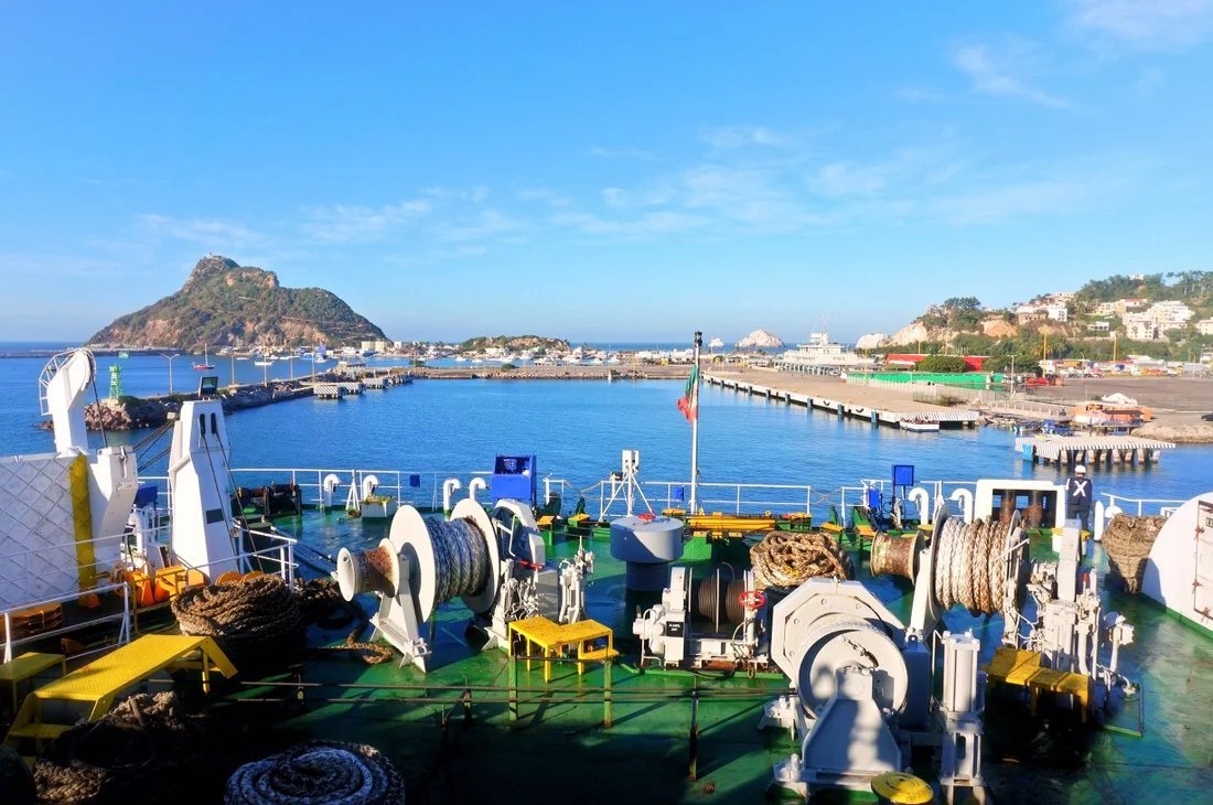
 The ferry from La Paz to Mazatlan takes about 12 hours and runs overnight. When it came time to board, it was a little confusing what we were supposed to do with our bikes. We just kept rolling them along as the crowd moved forward. When we got to the X-ray machines the guard had us put our backpacks on the conveyor belt, but just waved us and our bikes around the whole show (including all the bags that were still attached to our bicycles).After checking passports, everyone filed onboard the ferry through the same door the vehicles entered. We locked and strapped our bikes on the side near the door, and took the things we wanted overnight with us. Part of our ferry tickets got us dinner (and coffee with a sweet bread in the morning). We were assigned seats, but spent the evening in the dining hall and watching the night grow dark from the outside deck.Later in the night we retired to the room where our seats were, laid out our sleeping pads and bags, and snuggled in for a good night’s sleep. Everyone in the room was sprawled out on the floor, between the seats, and across the seats. It was like a big slumber party with strangers. We woke before dawn and wandered out to the deck to watch the sunrise, and Mazatlan come into view.




 _____________________You can sign up to receive The Redheaded Nomad’s blog posts in your email inbox; sign up at the bottom of any page on my website: theredheadednomad.comFor more frequent updates, follow me on Instagram at: instagram.com/theredheadednomadYou can also find me on Facebook at: facebook.com/redheadednomad_____________________


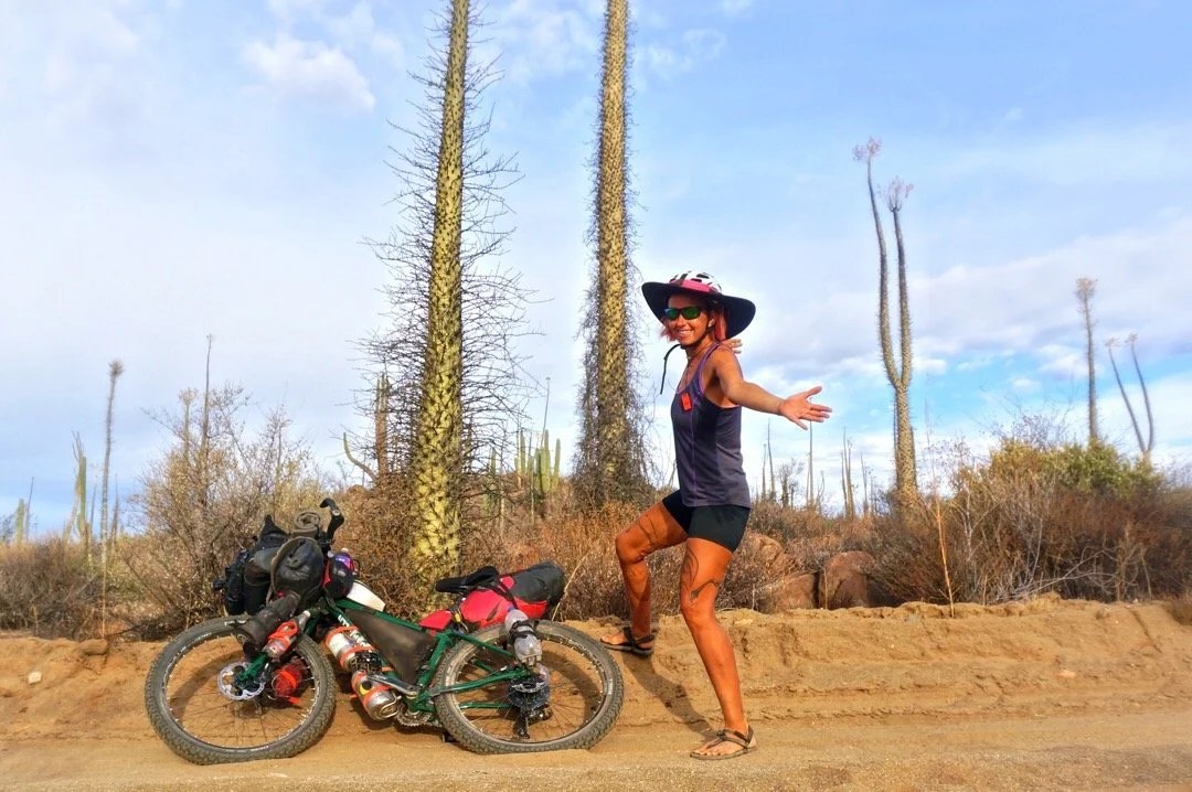


 1 week: Picacho del Diablo, the Baja California Norte state highpoint. We had to wait a day in Colonet to organize a ride to the park. Travel to and from the park, plus the climb, was 4 days. After such an epic climb we took another zero in Colonet to rest.


 1 week (spread out over a month’s time): Getting a new bicycle seat for Neon. His seat rail broke south of Santa Rosalillita. He got a new one shipped via Baja Pack to Guerrero Negro, so we hitched (with our bikes) there from Rosarito. This all took several days. The seat didn’t work for his bum. So he bought a cheap one in Vizcaino that was wider and had more cushion, and then ordered another one from Amazon. Eventually, after extra days in several towns a long the way he finally got the seat he ordered from Amazon, a Brooks B17, and he loves it. If we were just riding the Baja Divide I think Neon would have just tried to get by with the cheap cushy seat he bought in Vizcaino. So I feel like this time was somewhat unrelated to riding the Baja Divide and more about riding to Argentina.
 …the seat that broke, a Selle Anatomica. It’s common for them to break, but they’re comfortable.

 …and the Brook’s B17 (the one he’s happy with)
 1 week: We took a bus (with our bikes) from Guerrero Negro to Mulege and spent an entire week there, and the nearby beaches, with family for the Thanksgiving holiday. After Thanksgiving we took the bus back to Rosarito to pick up where we’d left off on the Baja Divide route before Neon’s seat rail broke.


 1 week: We spent a whole week in Loreto hanging out with trail friends from New Mexico, and making new friends.


 4 days: We spent four whole days in La Paz sick with a sinus infection. Though I think this counts as Baja Divide trail time.

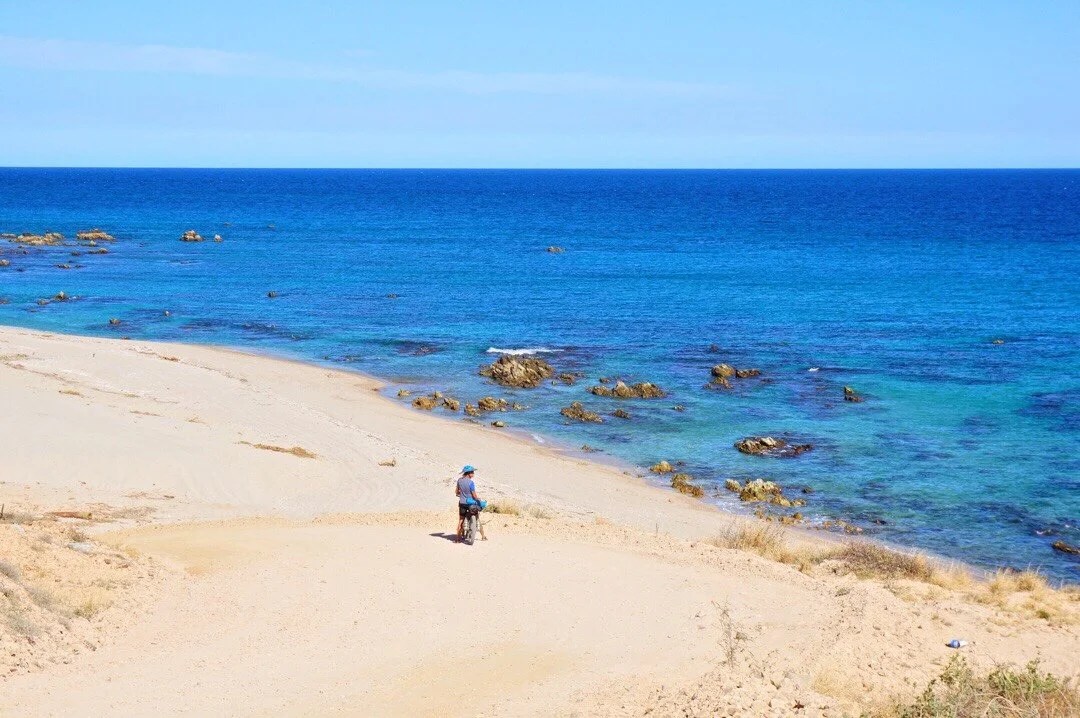
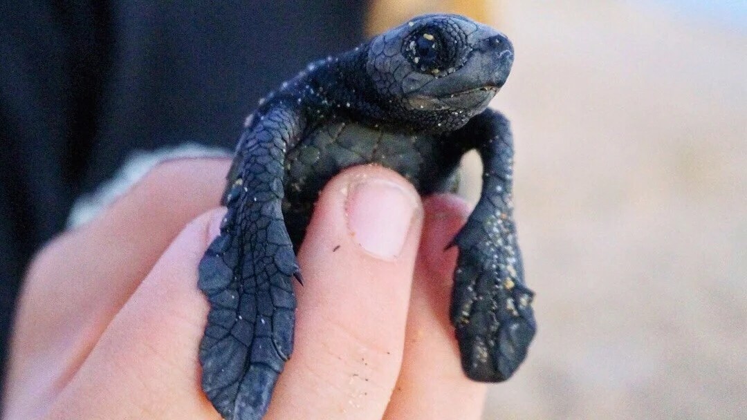
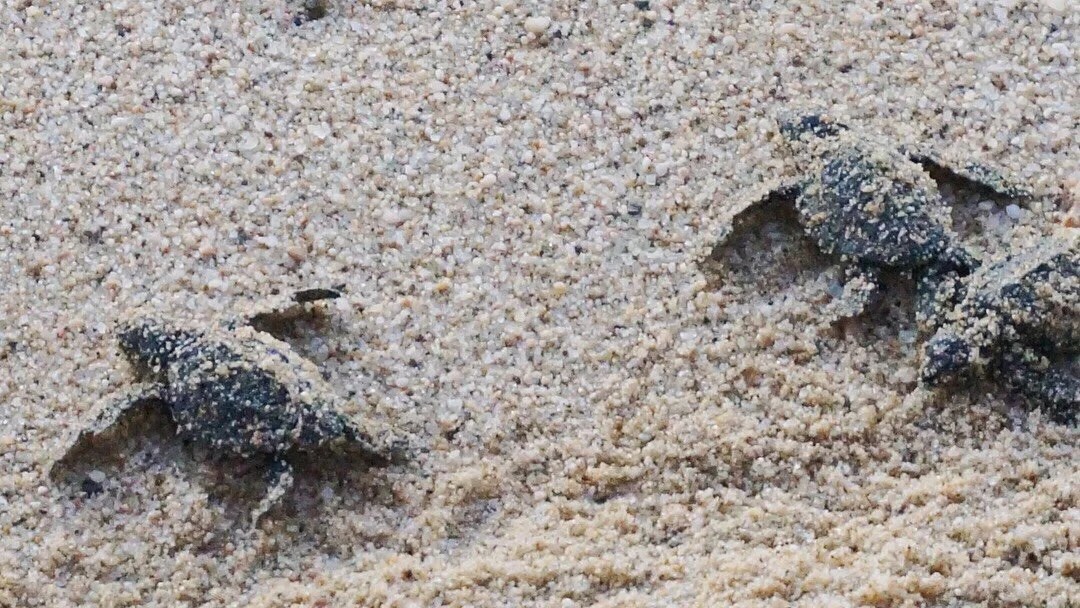
 5 days: Sierra la Laguna highpoint, the Baja California Sur state highpoint. We spent five days around Todos Santos, watching the turtle release, resupplying, climbing a couple of peaks in the Sierra la Laguna Mountains with our friends from Maryland, and resting in town afterwards.
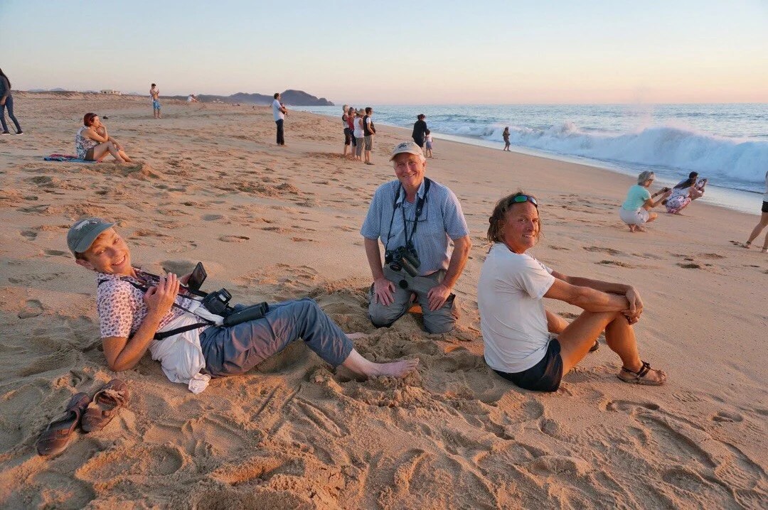
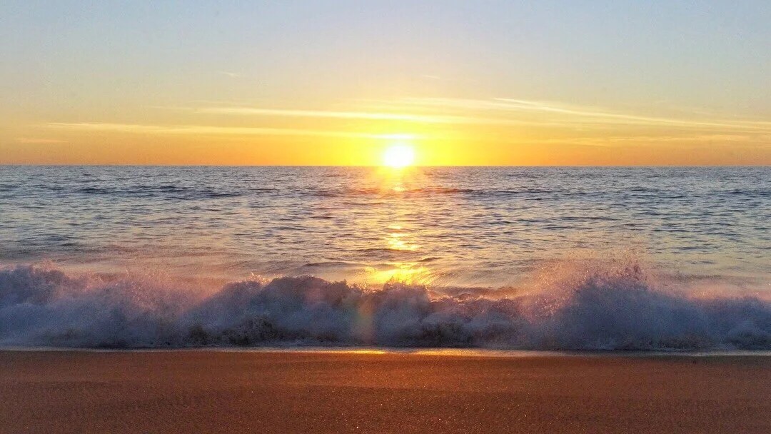


 2 days: We spent two whole days in Cabo Pulmo with our friends from Maryland, walking the nearby nature trails, looking at cool creatures in the tidal pools, snorkeling, and lingering over coffee and meals with our friends.


 FAVORITE PARTS:There are so many things that were highlights for me that’s it’s difficult to pick out just a few, but I’ll try.I had a great experience at Hotel Escondido just off route on the outskirts of Colonet in Enero, and the little market down the street from the hotel. The lady that manages the hotel was super nice, and we had a great time with her son as well. Everyone at the hotel and the little market were so friendly that I was almost sad to leave Colonet, though Colonet itself didn’t charm me as much.

 My two favorite restaurants in Baja were the little truck stop diner at El Sacrificio, and Alma y Manny’s in Todos Santos. The food was good, but of course it’s never just the food. We just had really great experiences and interactions at these places. The best espresso I had was at Parlante Restaurant in Ciudad Constitucion. And the Blue Anchor in Loreto was also a highlight, which was not so much for the food, but for the great conversation with our new friend from Colombia.


 My favorite riding and landscapes were all through Valle de Los Cirios in the areas around Cataviña. It’s just magical there and the plants are so Dr Seuss cool. I also loved everywhere the route travels along the Sea of Cortez.


 We also took the alternate (after El Datil) that goes through San Juanico, Cadeje, La Purisima, and San Isidro; perhaps it was just our timing and the people we met along the way, but it was one of my favorite sections. The towns were culturally a little different and I really enjoyed them.



 In general, my favorite places and experiences were all in central Baja. The far north and far south just didn’t do as much for me. The northern parts are more gritty and the towns seem a little rough around the edges, and there was a lot more trash strewn about. The far southern parts of Baja (La Paz and south) are very touristy, which makes some of the towns seem a lot like visiting Jackson Hole, Sedona, or Beverly Hills; it’s just not my scene.MOST DIFFICULT SECTIONS:The two areas of riding that I found most exhausting were… ONE: a little before Rancho El Coyote, and after Rancho Meling. And TWO: about half a day after Nuevo Odisea almost all the way to the pass before you drop into Valle de Los Cirios. There were a few other discrete parts of the route that were difficult for sure, but it’s the really steep uphill hike-a-bike over eroded rocky “hard to call them roads anymore” roads that I personally find the most strenuous and tiring.


 RECOMMENDATIONS:I really only have one… ride the cape loop counterclockwise. The amount of climbing seems similar in either direction, but there are several very long sandy sections that are a downhill ride if you go counterclockwise, which would otherwise be a hike-a-bike push if you take the capeloop clockwise. And there is one super sweet sinuous downhill on the way to Cabo Pulmo that makes it worth riding the capeloop counterclockwise.
 TIPS:I don’t really have any. Everyone is so different. Our home base is in southern Arizona, so Baja felt a lot like riding in our backyard …the climate, the different biomes, and all the plants and critters just seemed like an extension of home. This was our first long bikepacking trip, but we’ve thru-hiked several long trails, so we were already familiar with the the rhythm of being self sufficient for long periods of time in rugged wilderness.The weather will be pretty different depending on what month you start and how long it takes you. We started in mid-October and only had one real rain our entire time in Baja. We only slept in our tent three times; the rest of the time the weather was perfect for cowboy camping.If anything, I’d say pack light (especially if you’re only riding the Baja Divide and not continuing on a longer trip), enjoy, mix with the locals, and be patient on route. When the route gets difficult, it will change and there will be something magical on the other side.
 _____________________You can sign up to receive The Redheaded Nomad’s blog posts in your email inbox; sign up at the bottom of any page on my website: theredheadednomad.comFor more frequent updates, follow me on Instagram at: instagram.com/theredheadednomadYou can also find me on Facebook at: facebook.com/redheadednomad_____________________
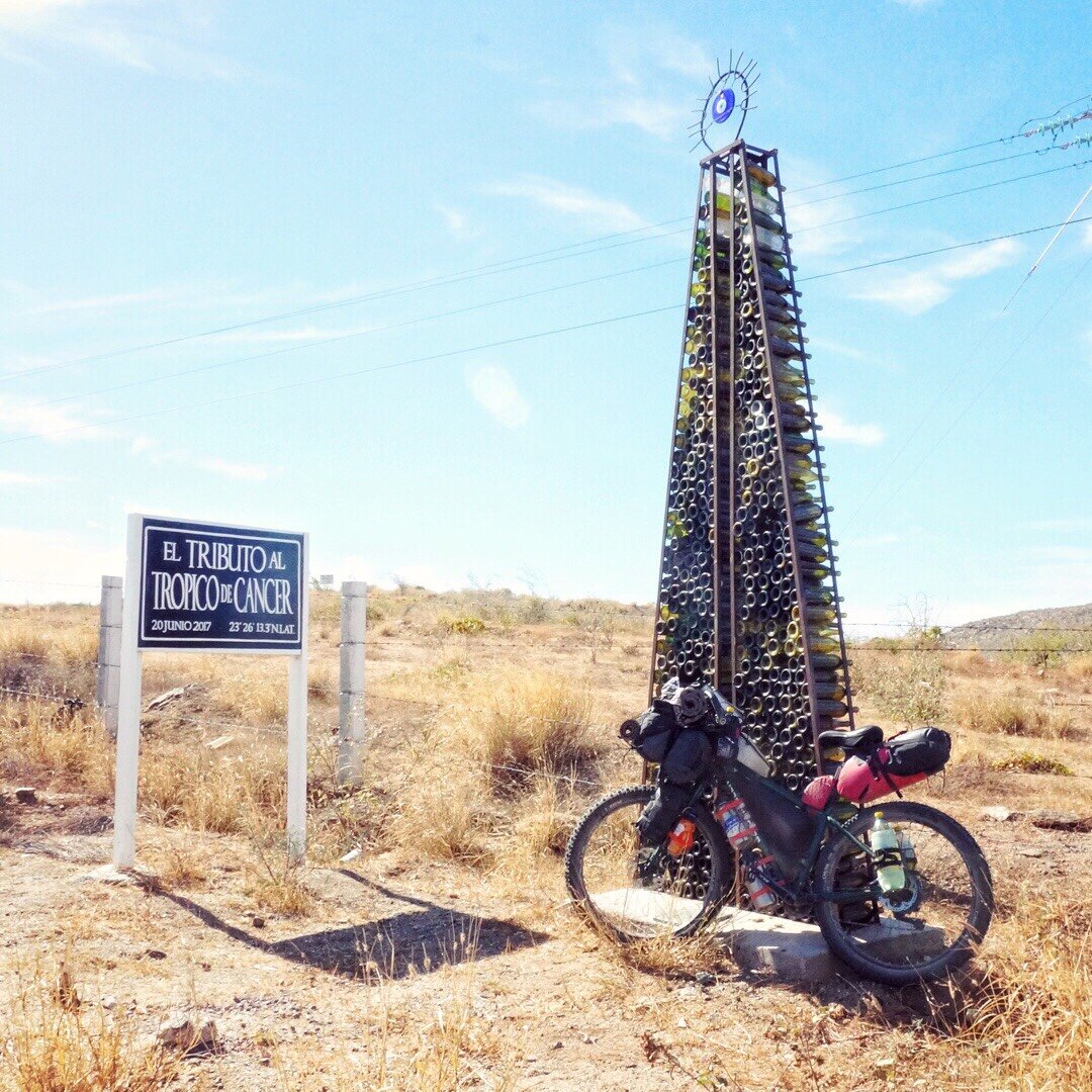


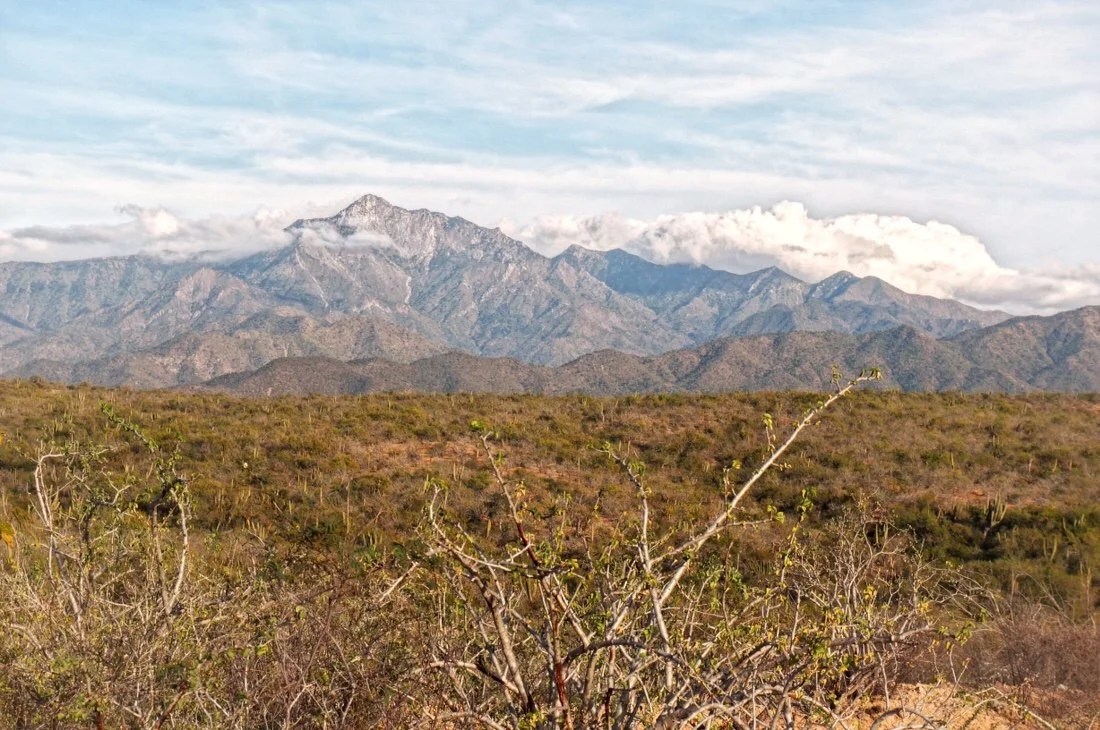
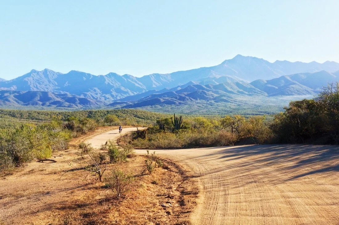
 After crossing the Tropic of Cancer we turned onto a dirt road heading into the Sierra la Laguna Mountains, making several turns as we rode deeper into the foothills. The roads were in great shape so we managed a typical day’s kilometers in just a few hours. We found a great place to camp, with a view of the ocean, and watched the sun set as we settled in for the night.
 ______
 ______
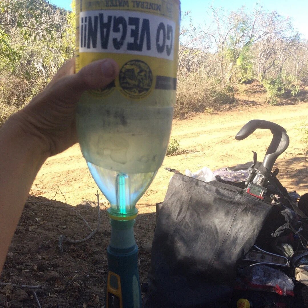
 The next day started out pretty easy. We filled our water bottles at a stream crossing, and had a long second breakfast, before the route began climbing more and more steeply into the mountains. After a couple of hours of uphill, downhill, and pushing our bikes up steep roads we stopped for a midday snack, just in time to be greeted by a herd of goats that seemed very perplexed by our presence. They just stood there, for a very long time, before deciding to turn uphill to avoid coming too close to us.
 ______
 ______
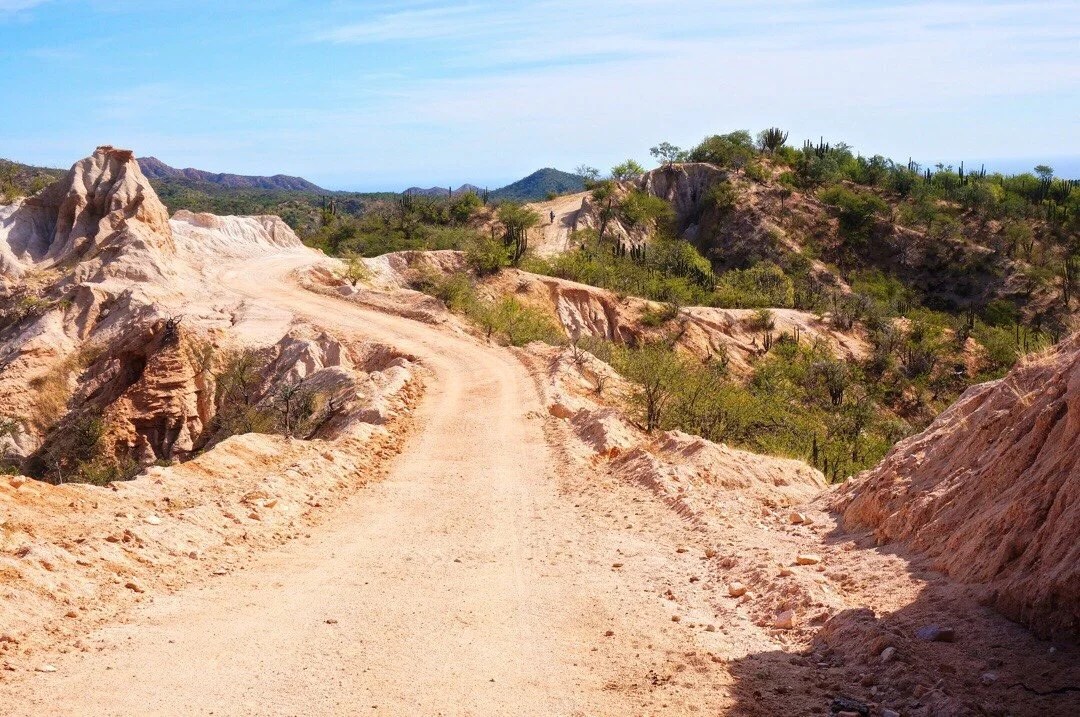
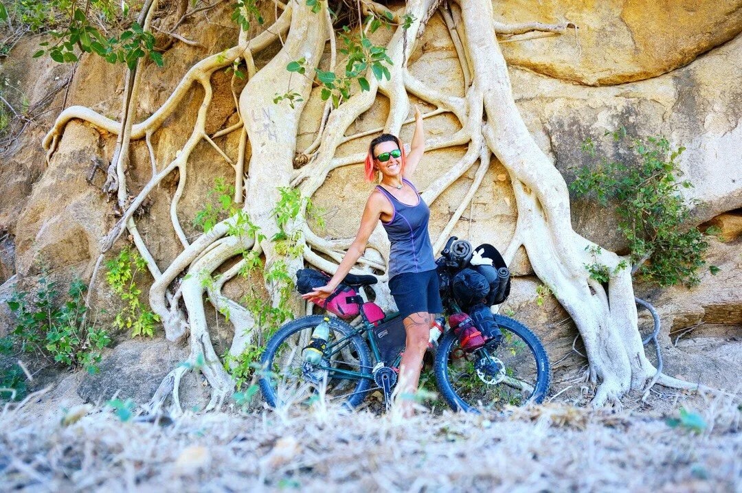
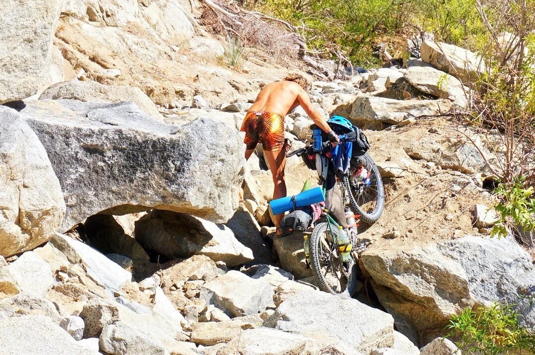
 We climbed further up the mountains, pushing our bikes for what seemed like forever. We stopped to rest in the shade of a huge fig tree. Near the top of the pass there was a major landslide that had left large boulders in the road, and washed out other parts of the road. It was just a short bit, but it took almost an hour to get our bikes through it. The other side of the pass was in much better shape, making for a fast downhill to a beautiful place to camp with a view of the Sierra la Laguna Mountains.
 ______
 ______
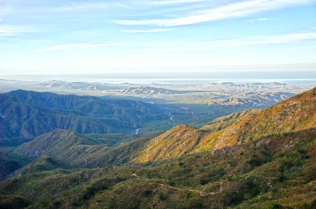
 The next day we rolled into Santa Anita, at the outskirts of San Jose del Cabo. We resupplied, then continued east, heading up into the next set of mountains. The track was sandy, but mostly rideable, until after Palo Escopeta where we pushed our bikes through deep sand for a long time before joining good mountain roads. We found a place to camp, high on a ridge, with a view of the Sierra la Trinidad mountains and the Pacific Ocean at the end of the Sea of Cortez.We shared some wine and chatted about our ride, all the places we’ve been, the things we’ve seen, and how special the Baja Divide route is… we were feeling it all coming to an end. And what a way to end it, finishing with the cape loop, so much green, friends, time in the mountains, and hanging out on beaches.
 ______
 ______
 ______

 ______
 The next day brought more climbing with hike-a-bike pushing up the steeper hills, an amazing sinuous ridge ride, and then several kilometers of deep sand before we made it to the coast on the sea of Cortez.
 ______
 ______
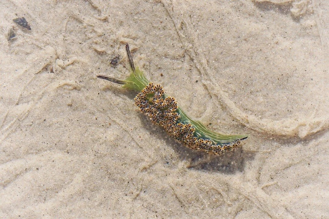
 Our friends from Maryland were waiting for us in Cabo Pulmo when we arrived. We spent two full days in Cabo Pulmo relaxing, walking through the hills, looking for critters in the tidal pools, and snorkeling.
 ______
 ______
 ______Sea slug…
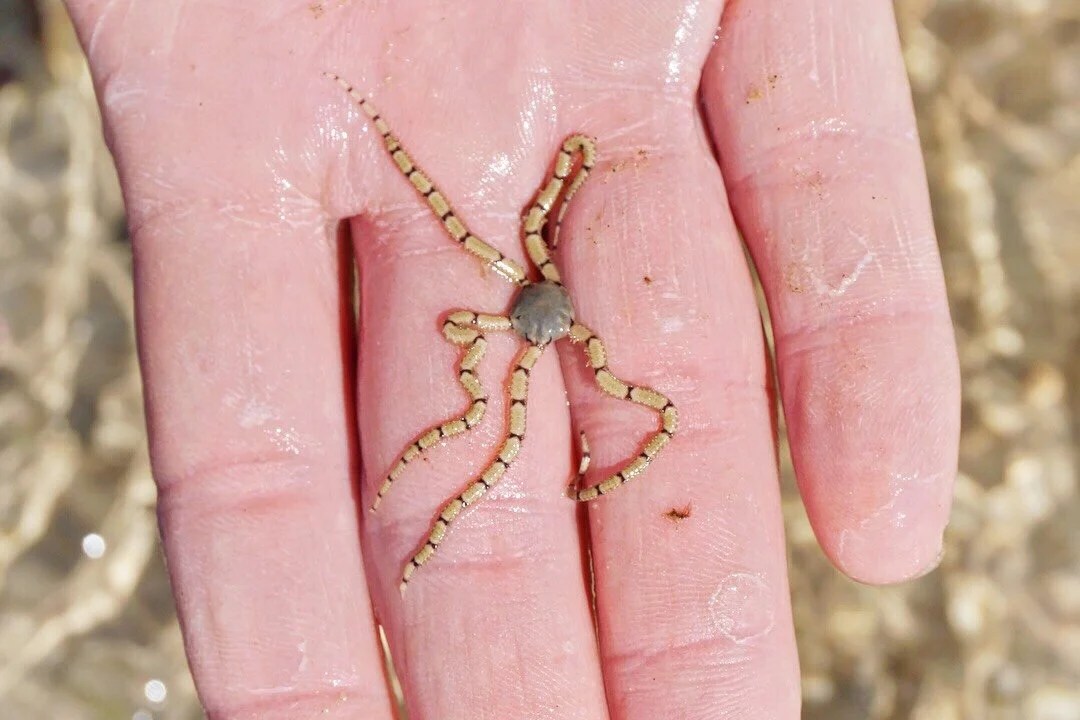
 ______Brittlestar…
 ______Sea cucumber…
 ______
 ______
 ______
 ______Snowy egret and a pelican…




 _____________________You can sign up to receive The Redheaded Nomad’s blog posts in your email inbox; sign up at the bottom of any page on my website: theredheadednomad.comFor more frequent updates, follow me on Instagram at: instagram.com/theredheadednomadYou can also find me on Facebook at: facebook.com/redheadednomad_____________________

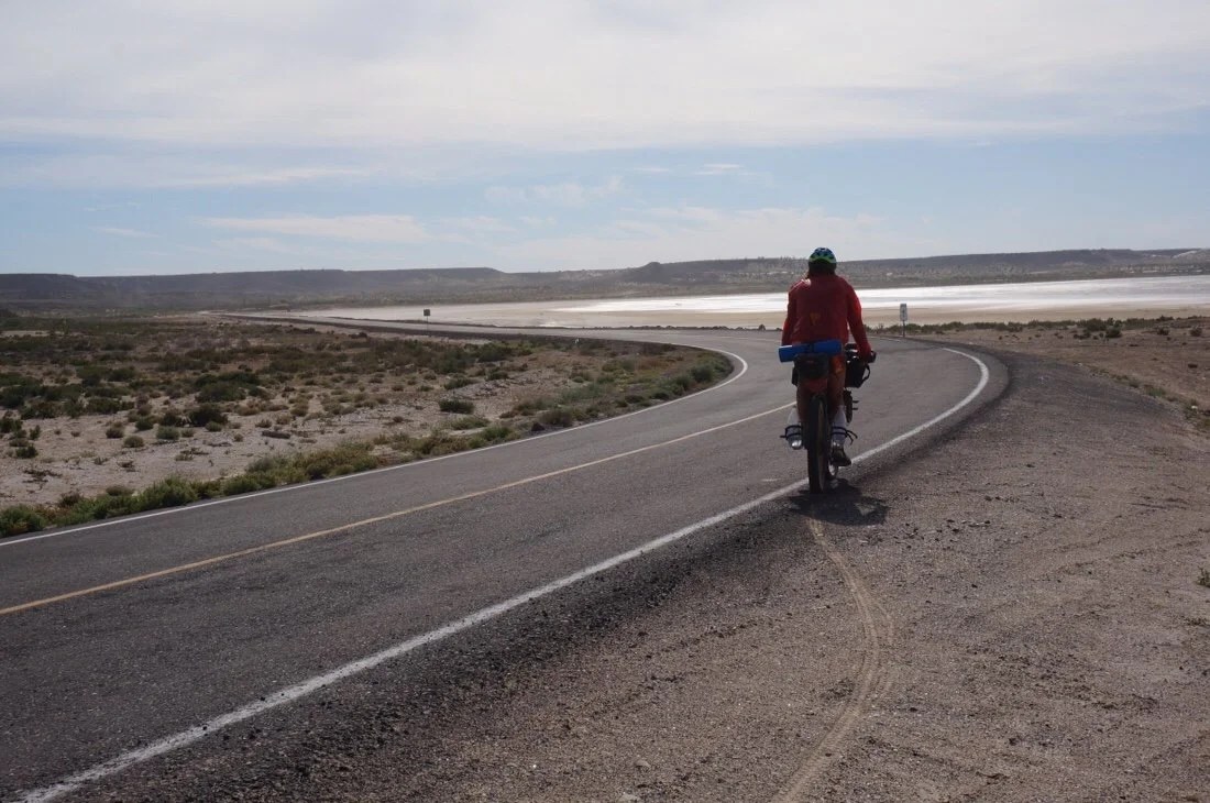
 The road leaving old town was on fast, mostly downhill, pavement with a tailwind almost all the way to the Pacific Coast. We stopped at the tienda in San Zacarias for a rest break. They had bags of mini mixed Lindt dark chocolates; the first good chocolate I’ve seen in Baja. Neon wanted to split a bag, but no way was I going to split the first real chocolate I’d seen since we left the states. I walked back out to my bike, giddy with delight, and opened a little square of dark chocolate with sea salt, bit off a corner and just sat there smiling while the tiny goodness melted on my tongue.
 The road turned to dirt shortly before La Laguna. We stopped for lunch under a tree, looking across the water at the mountains we had ridden near out of Vizcaino. We continued past Ejido Luis Echeverria Alvarez until we found a place to camp, a ways off the road, in some short bushes, in a low undulation in the landscape. We watched the sun set over the ocean and talked about all the cool things we’ve seen and experienced on our trip.

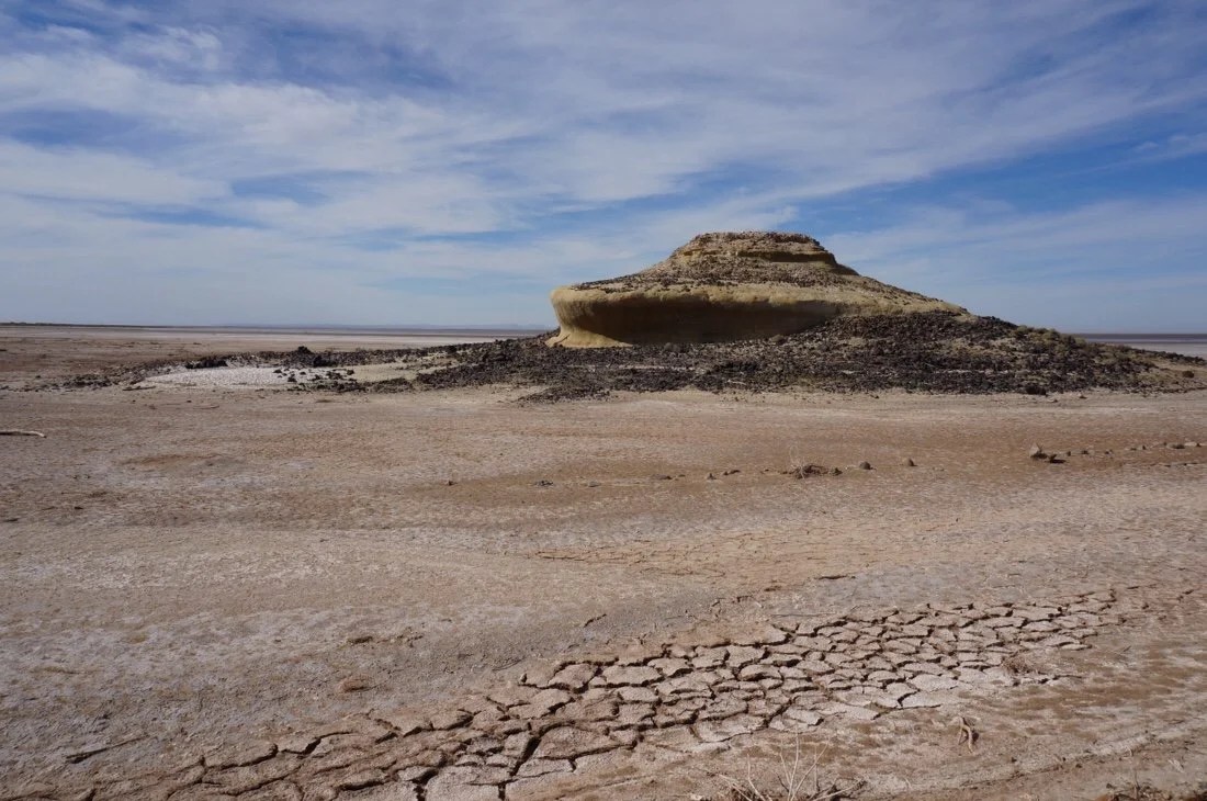
 We woke the next morning to a colorful sunrise, and headed out into a slight headwind on the salt flats. Near lunchtime, a man stopped and asked about our ride. He delivers produce to the little towns out here and offered us some oranges, handing us three each. We immediately sat down and ate them all. Despite their yellowish orange, and a little green, peels, I think they were the best best oranges I’ve ever had. We discussed our route, deciding not to take the canyon road to Mulege since we’d already spent a week there over Thanksgiving, but instead to take the alternate that continues south along the coast to San Juanico, then back east to reconnect to the main route at San Isidro.

 We made it to El Datil by mid-afternoon. We bought water and snacks at the tiny store. On our ride through town a group of boys on bicycles flocked around us, asking for stickers. Two of them were riding barefoot and another did a wheelie as he rode up beside Neon. Neon told them a little about our bikes and what we carry for our trip. I stopped to take a picture of a group of pelicans hanging out on a boat when one more boy came racing up behind me yelling “stickers”. I told him “no stickers”. He stopped and just sat there in the road, staring at me with disappointment. I said goodbye and rode on to catch up with Neon. Rap music blared from one of the houses on the edge of town.


 The next day we headed out of town on pavement, for ~sixteen kilometers, before turning uphill onto a soft silty road that climbed up onto a mesa. We pushed our bikes for most of it until descending the most fun sandy steep hill ever, all the way down into a canyon with a wide valley and steep cliff walls. We pedaled across sand, and river rock, until we came to a beautiful swimming hole at the base of a cliff. The walls of the cliff were embedded with sea shells. We climbed back up, winding our way through the the hills and camped amongst the cactus.


 The next day we road through La Purisima and San Isidro. The towns were small, off the beaten path, on a paved road lined with palm trees, a whole forest of palm trees. An old canal ran through the towns, supplying water from the nearby river. We climbed out of San Isidro and connected back with the main route. We pushed our bikes up steep hills, then rode fast downhills, then climbed again. The terrain changed from river oases back to desert, then to a volcanic landscape littered with dark rocks. The rocky terrain made camping difficult. We finally found a pullout on the side of the road and setup for the night.


 The next day we road through San Jose Comondú, another river oasis small town, past another mission, and another old canal at the edge of town. We climbed out of the river valley, pushed our bikes up hills, rode some fun downhills, encountered more road work, and then climbed one last giant hill at the end of the day. Toward the top of the climb we met Francis, a Canadian guy with two dogs, hiking around Baja with a mono-wheel cart for carrying supplies. We found a beautiful place to camp, with a perfect sunset view, down an old road at the top of the hill.
 The next morning we made our way toward San Javier Mission. Once we reached the paved road that leads to the Mission, we turned left to make a detour, all the way down to Loreto. We rode the most amazing windy road, thirty kilometers, down into Loreto, back to the Sea of Cortez, to visit a trail friend from New Mexico.


 We spent an entire week in Loreto. It was a very different experience from anything previous in our trip. We wandered the streets, found a favorite breakfast place, not for the food, but for the conversation with a new friend (from Columbia), where I listened so intently to understand Spanish that it actually gave me a headache. We met so many other people that have travelled all over, extensively, through Central & South America (oh, the stories). I finally got to eat at the infamous “El Ray Tacos”. And in finale, Neon finally got the bike seat he had ordered three weeks previously.

 Thankfully our friend (from New Mexico) let us stuff our bikes into Santa’s 4×4 sleigh, so we could have a chariot ride back up the long and windy road. He dropped us off right where we had turned to ride down into Loreto. One quick selfie and we said our goodbyes. We got our bikes all put back together and headed back on route to San Javier Mission._____________________You can sign up to receive The Redheaded Nomad’s blog posts in your email inbox; sign up at the bottom of any page on my website: theredheadednomad.comFor more frequent updates, follow me on Instagram at: