Tag: The Redheaded Nomad

  • SOUTHEAST ASIA 1: THREE DAYS IN BANGKOK

    SOUTHEAST ASIA 1: THREE DAYS IN BANGKOK

    Thailand was a very different experience for me, compared to my usual travels. We had five nights and three full days in Bangkok, followed by a week at Tonsai Beach Resort in Krabi. We had decided on three days as the time necessary to recover from jet lag after flying half way around the world. Our Airbnb in Bangkok was located in the heart of the tourist district, near famous temples, and restaurants that all catered to the experience that tourists want to have while visiting the city. Smoothies, fancy coffee drinks, and massages were abundantly available, and most everyone spoke at least a little bit of English. There was not much wandering off the beaten path during these three days, but in the little that we did do, the only things that I can note here are that smoothies are not so widely available once you leave the tourist district, and all those beautiful clean streets can take a very dramatic shift just a few streets away.

    We managed to squeeze a lot into those three days, starting with a long walk across the city on the day we arrived—from the end of the train line we rode from the airport to our Airbnb in the tourist district. It was only about four miles, but it frames my experience of Bangkok.

    When we popped off the train at the end of the line, we exited through a sparkly mall area offering cafe snacks, coffee, and smoothies. We were given our smoothie [in a to-go cup] in a plastic bag to carry it. No one was eating or drinking their goods, just going on about their way with little plastic bags in hand with food or drink cups in them. Everything was so sparkling clean I thought perhaps we weren’t allowed to consume our drinks inside. We walked down some steps, around a corner, and down a path on the side of some other train tracks. This is where the sparkling clean ended and I felt free to drink my fresh coconut smoothie. The tracks started out lined with people selling things: carts offering street food, a few clothing racks, and trinkets. And then it all changed very quickly to little shanty shacks, where people lived, as far down the tracks as I could see. We continued all the way until a cross street finally opened an exit path. It remains my most vivid memory from my time in Bangkok. I of course took no photos here, but these images remain branded in memory: a half naked elderly man with a missing tooth sitting in his entryway (there was no door), a young child in torn clothes nibbling on a piece of candy, and trash blowing around the broken concrete planks that shifted while we walked upon them. All this only one street over from sparkling clean. A contrast that is not unique to Thailand. It is a crisis of humanity in a modern world—removed from the land which once provided for our every need.

    During our three days, we visited Benchakitti Park, Lumpini Park, Wat Pho, Wat Arun, and the Bangkok Museum of Contemporary Art. We rode on a small ferry, in trains, tuk-tuks, and impatient taxis. I ate so much curry! Smoothies, remembering to ask for “no sugar”, accompanied my every meal. I woke up starving everyday at one a.m. And it wasn’t until the morning of our departure on day four that my nights and days and hunger windows finally started to line up with the time zone in Thailand.

    On my first night, waking at one a.m., there was a message from a fellow adventurer, Fidget, whom we had first met in Tulcan, Ecuador when she and her hiking partner were hiking north from Tierra del Fuego, and we were cycling south on the Trans Ecuador Mountain bike Trail. Our paths have crossed a few times, and by coincidence we just happened to be in Bangkok at the same time. We decided to meet up in Benchakitti Park and walk the elevated “Green Mile” over to Lumpini Park.  Benchakitti park is a beautiful, more wild, park with elevated walking paths through tall trees and over small ponds, contrasted by views of shiny skyscrapers in the distance. The Green Mile is an elevated walkway that connects the two parks. And as you guessed it is about a mile in length. It passes high over the streets below and along a canal closer to Benchakitti Park, and is another place to view the contrasts from one street to the next, from old wooden houses in a neighborhood to shiny skyscrapers in the distance. Lumpini Park is more of a traditional city park with manicured paths, gazebos, and an area with food vendors. But it is also a great place to watch water monitors stretched out in the sun at the edge of a canal.

    On day two we visited Wat Pho and Wat Arun and took a small ferry across the Chao Phraya River between them. For those of you that don’t know, “Wat” means “temple” in the Thai language. Wat Pho is one of Bangkok’s oldest temples thought to have been built in the late 1600’s. While once considered to be the first public university of Thailand teaching science, religion, and literature, it is now (as of 1955) a school for Thai massage and traditional Thai medicine. It is also home to the reclining buddha, one of the largest buddha statues in Thailand at 15 meters high and 46 meters long.

    Wat Arun with its prang (spire) sits prominently on the West Bank of the Chao Phraya River, its overall shape not all too different from that of the Eiffel Tower. I can’t help but contemplate the similarities between temples, pyramids, and mountains—and the human affection for them—all spiring into the clouds in a grand erectness as if to touch the heavens. Wat Arun was my favorite temple—it is a site to behold, with its decorated facade, completely covered in carvings and tile work from its base to its spire.

    On our last day, we visited the Bangkok Museum of Contemporary Art. One thing that stood out to me was the figurative work painted in a traditional Thai style, featuring buddhas, chakras, a dancing female figures wearing traditional Thai outfits all adorned with pointy headwear. During the second part of our time in Thailand, while wandering the beaches of Tonsai and Railay I started noticing spiraling sea shells that came to a point, and I wondered if this was the inspiration for the pointy headwear on the figures in the paintings.

  • HAYDUKE TRAIL Spring 2020

    HAYDUKE TRAIL Spring 2020

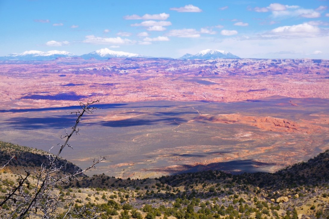
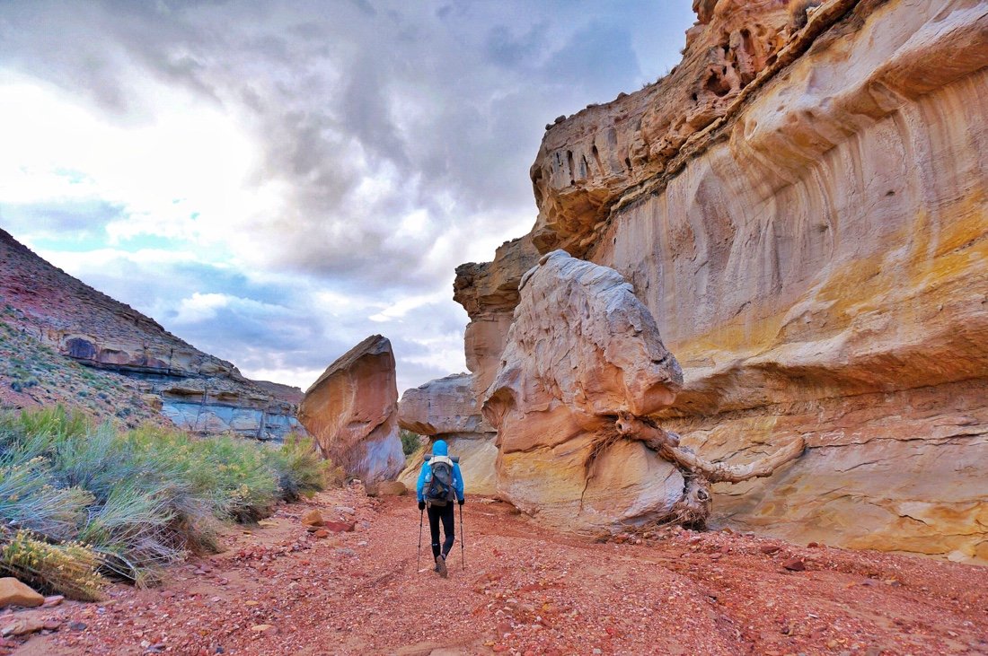
    It’s official! We’re going to thru-hike the Hayduke route this spring, or at least we’re going to give it our best go. I’ve included a few photos at the bottom of this post from last year, on a section hike of the Hayduke route, just to give you an idea of some of the terrain.

    The Hayduke is an ~800 mile backcountry route through rugged terrain, including boulder choked canyons, sand, and quicksand. It was named after George Washington Hayduke III, a character in Edward Abbey’s book ‘The Monkey Wrench Gang’.

    “The [Hayduke] trail seeks to pay homage to

    Abbey for his tireless defense of these fragile and threatened public lands and to heighten awareness and promote the conservation of the wild places that he and so many other people have come to need and love.” -hayduketrail.org

    Like all thru-hikes, weather will be a challenge—ranging from snow storms and freezing temps to hot desert temperatures with long water carries. It is also a navigationally challenging adventure, as it follows virtually no trails. It passes by or near very few towns, so being on foot, it is also a resupply challenge, for which we’ll be setting several food and water caches ahead of time.

    The challenge of this route inspires my adventurous side, but the route also navigates through some of the most stunning landscapes in the Desert Southwest, and arguably in the world. The route travels through six national parks. Yup, you read that right, SIX national parks! Arches, Canyonlands, Capitol Reef, Bryce Canyon, Grand Canyon, and Zion National Park. It also travels through Grand Staircase-Escalante National Monument and Glen Canyon National Recreation Area, in addition to several National Forests. I know, sounds like a dream, right! Needless to say, I’m stoked!

    For all the gear nerds out there, I have posted my gear list at: onnavoellmer.com/the-redheaded-nomad-gear

    I’m still reworking some of the gear, to ensure my pack stays below 25 lbs, with 5 days of food and 5L of water in it, but the list is mostly complete, except for sunglasses. I’m able to keep my food weight down to about a pound a day, because I carry foods that are densely packed with nutrients and good fats—This helps a lot with my pack weight. My favorite foods to carry on a thru-hike are powdered greens, nori, raw nuts, and a little dried fruit (*with no added sugars—dates are my favorite; they are high in fiber and have a low glycemic load). If you’re wondering why I strive to stay below twenty five pounds, it’s mostly because I have a broken back and a bad knee, and twenty five pounds or less is my sweet spot, balancing the right gear with the right comfort level for my body. But it’s also a lot more fun to hike with less weight.

    ABOUT THOSE LAST STORIES FROM SOUTH AMERICA:

    For those of you that are still waiting for the last couple of stories from my South America bikepacking trip, my apologies, but realistically at this point they may never happen. It was such a long logistical journey of busses, trains, and planes, and bike reassembly at the end of that adventure that I was too exhausted to write them at the time. And once I got back home I was just too wrapped up working in my studio and onto other things.

    PHOTOS FROM LAST YEAR’s SECTION HIKE ON THE HAYDUKE ROUTE:

    Approaching Fiftymile Bench in Grand Staircase-Escalante.

    Team work in Navajo Canyon.

    Reese Canyon.

    View from Fiftymile Bench.

    Camp in Roger’s Canyon.

    Sometimes, between the brighter moments, all you can do in life is look for the soft spots between the boulders. I find so much truth in the wilderness, so much joy, even on the hard days. It reminds me to find the joy in every moment of every day, even when I’m not on trail.

  • BAJA DIVIDE 8: Coast to Coast

    BAJA DIVIDE 8: Coast to Coast

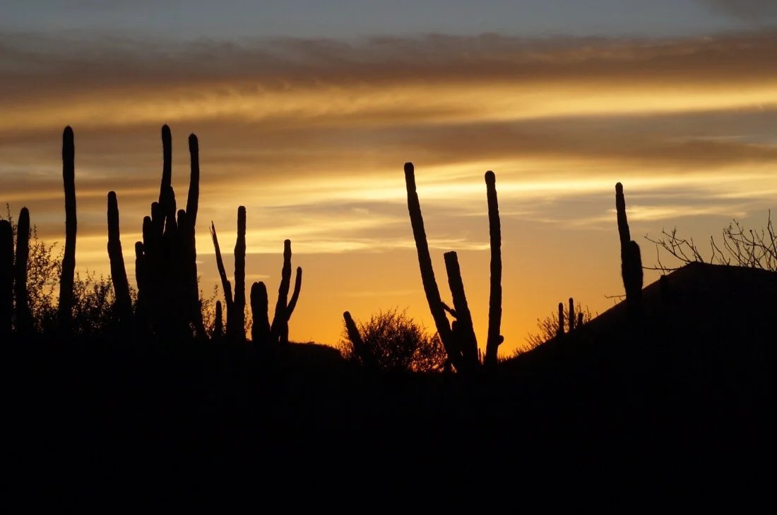
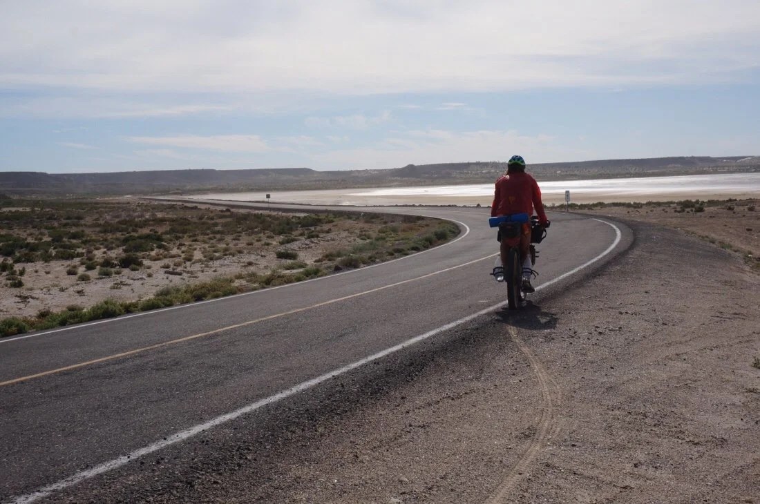
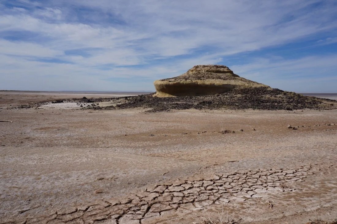
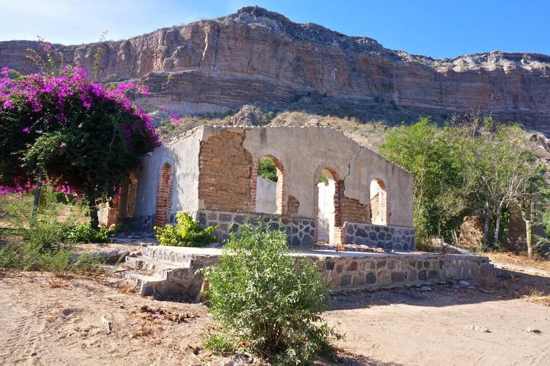
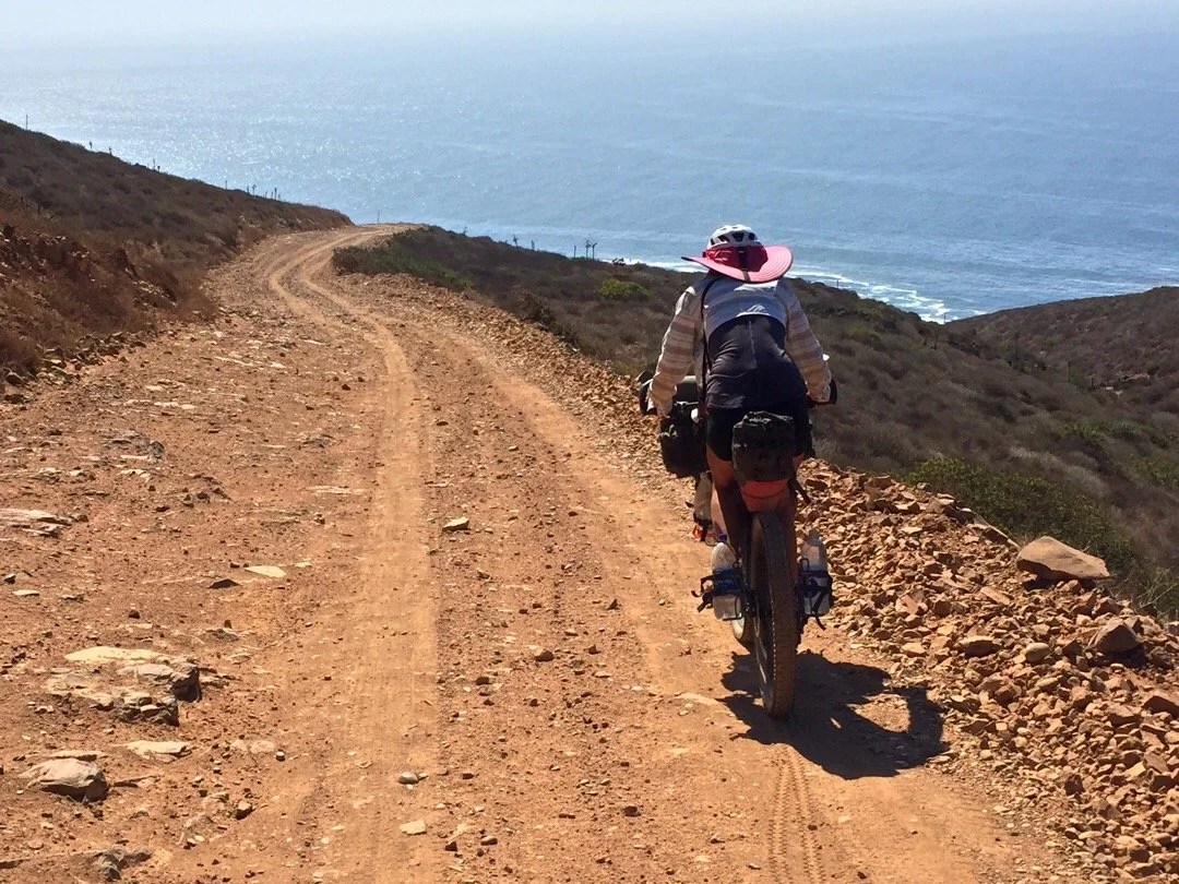
    “San Ignacio to San Javier”We left Motel Fong late in the morning. We rode a paved road, lined with tall date palms, into old town San Ignacio, running over fallen dates along the way. While taking photos of the mission in old town, we met a lady that had cycled the length of Baja California, on MEX-1, twenty years ago. She said she came back this time to see all the sites she didn’t have time to see then.The road leaving old town was on fast, mostly downhill, pavement with a tailwind almost all the way to the Pacific Coast. We stopped at the tienda in San Zacarias for a rest break. They had bags of mini mixed Lindt dark chocolates; the first good chocolate I’ve seen in Baja. Neon wanted to split a bag, but no way was I going to split the first real chocolate I’d seen since we left the states. I walked back out to my bike, giddy with delight, and opened a little square of dark chocolate with sea salt, bit off a corner and just sat there smiling while the tiny goodness melted on my tongue.The road turned to dirt shortly before La Laguna. We stopped for lunch under a tree, looking across the water at the mountains we had ridden near out of Vizcaino. We continued past Ejido Luis Echeverria Alvarez until we found a place to camp, a ways off the road, in some short bushes, in a low undulation in the landscape. We watched the sun set over the ocean and talked about all the cool things we’ve seen and experienced on our trip.We woke the next morning to a colorful sunrise, and headed out into a slight headwind on the salt flats. Near lunchtime, a man stopped and asked about our ride. He delivers produce to the little towns out here and offered us some oranges, handing us three each. We immediately sat down and ate them all. Despite their yellowish orange, and a little green, peels, I think they were the best best oranges I’ve ever had. We discussed our route, deciding not to take the canyon road to Mulege since we’d already spent a week there over Thanksgiving, but instead to take the alternate that continues south along the coast to San Juanico, then back east to reconnect to the main route at San Isidro.We made it to El Datil by mid-afternoon. We bought water and snacks at the tiny store. On our ride through town a group of boys on bicycles flocked around us, asking for stickers. Two of them were riding barefoot and another did a wheelie as he rode up beside Neon. Neon told them a little about our bikes and what we carry for our trip. I stopped to take a picture of a group of pelicans hanging out on a boat when one more boy came racing up behind me yelling “stickers”. I told him “no stickers”. He stopped and just sat there in the road, staring at me with disappointment. I said goodbye and rode on to catch up with Neon. Rap music blared from one of the houses on the edge of town.We continued back out onto the salt flats, climbing small sand dunes, before climbing up into the mountains. Late in the day we came across a road working crew with big trucks spreading new rock dust on the road. I’d been wondering who maintains these backcountry roads. We found a place to camp deep in a wash and listened to the sound of big trucks dump and spread rock until, all at once, they stopped. I guess it’s quitting time, I remarked to Neon. We watched the sun set through the trees and toasted to another day. I watched a fuzzy white velvet ant meander through our camp in the glow of the setting sun. A few birds came and went. We settled in for the night.The next day we rode through the tiny town of Cadejé, passing a small colorful, cemetery on the way in. A little boy ran out and started taking to Neon. The little boy said he used to go to school, but his town doesn’t have a school anymore. The closest school is in the next town and there’s no bus. As we rode on I wondered what sustained this little town. A few hours later, a truck stops, and a old hippie gets out and says “No way, bicycles! I couldn’t believe my eyes when I saw bicycles coming down the road.” He told us about his ranch, just a few kilometers away, all the organic produce he grows, how he rescues horses and donkeys and dogs and cats. Before leaving, he gave us each a sticker, a rainbow for Neon, and a “Go Vegan” sticker for me. Everything you can imagine seems to exist in Baja, especially in what seems like the middle of nowhere. After a few more kilometers we pulled into the town of San Juanico on Scorpion Bay. We found a hotel and then a restaurant with a second floor patio with a view of the bay.The next day we headed out of town on pavement, for ~sixteen kilometers, before turning uphill onto a soft silty road that climbed up onto a mesa. We pushed our bikes for most of it until descending the most fun sandy steep hill ever, all the way down into a canyon with a wide valley and steep cliff walls. We pedaled across sand, and river rock, until we came to a beautiful swimming hole at the base of a cliff. The walls of the cliff were embedded with sea shells. We climbed back up, winding our way through the the hills and camped amongst the cactus.The next day we road through La Purisima and San Isidro. The towns were small, off the beaten path, on a paved road lined with palm trees, a whole forest of palm trees. An old canal ran through the towns, supplying water from the nearby river. We climbed out of San Isidro and connected back with the main route. We pushed our bikes up steep hills, then rode fast downhills, then climbed again. The terrain changed from river oases back to desert, then to a volcanic landscape littered with dark rocks. The rocky terrain made camping difficult. We finally found a pullout on the side of the road and setup for the night.The next day we road through San Jose Comondú, another river oasis small town, past another mission, and another old canal at the edge of town. We climbed out of the river valley, pushed our bikes up hills, rode some fun downhills, encountered more road work, and then climbed one last giant hill at the end of the day. Toward the top of the climb we met Francis, a Canadian guy with two dogs, hiking around Baja with a mono-wheel cart for carrying supplies. We found a beautiful place to camp, with a perfect sunset view, down an old road at the top of the hill.The next morning we made our way toward San Javier Mission. Once we reached the paved road that leads to the Mission, we turned left to make a detour, all the way down to Loreto. We rode the most amazing windy road, thirty kilometers, down into Loreto, back to the Sea of Cortez, to visit a trail friend from New Mexico.Our friend lives in Loreto part time and plays Santa Claus every year at some of the local schools. During our visit we had the privilege to visit one of the schools with him. I’m not sure I’ve ever seen kids so excited to see Santa before. When we arrived there were only a dozen or so kids; apparently because the bus that brings the children to the school had ran out of gas, but these kids had all walked. Not missing a beat, Santa offered to go pick up as many kids as he could fit in his four wheel drive sleigh. An hour later he returned with a truck full of moms and children. Photos and candy-canes proceeded. I never participated in this tradition as a child, but for these children it seemed to mean so much. I struggle to understand what that “much” is, but clearly it has deep significance and this was a day that they will cherish forever.We spent an entire week in Loreto. It was a very different experience from anything previous in our trip. We wandered the streets, found a favorite breakfast place, not for the food, but for the conversation with a new friend (from Columbia), where I listened so intently to understand Spanish that it actually gave me a headache. We met so many other people that have travelled all over, extensively, through Central & South America (oh, the stories). I finally got to eat at the infamous “El Ray Tacos”. And in finale, Neon finally got the bike seat he had ordered three weeks previously.Thankfully our friend (from New Mexico) let us stuff our bikes into Santa’s 4×4 sleigh, so we could have a chariot ride back up the long and windy road. He dropped us off right where we had turned to ride down into Loreto. One quick selfie and we said our goodbyes. We got our bikes all put back together and headed back on route to San Javier Mission._____________________You can sign up to receive The Redheaded Nomad’s blog posts in your email inbox; sign up at the bottom of any page on my website: theredheadednomad.comFor more frequent updates, follow me on Instagram at: instagram.com/theredheadednomadYou can also find me on Facebook at: facebook.com/redheadednomad_____________________

  • BAJA DIVIDE 4: Be Here Now

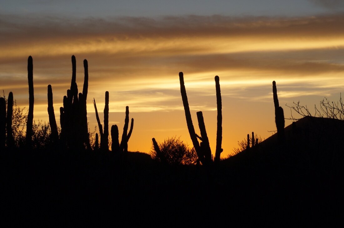
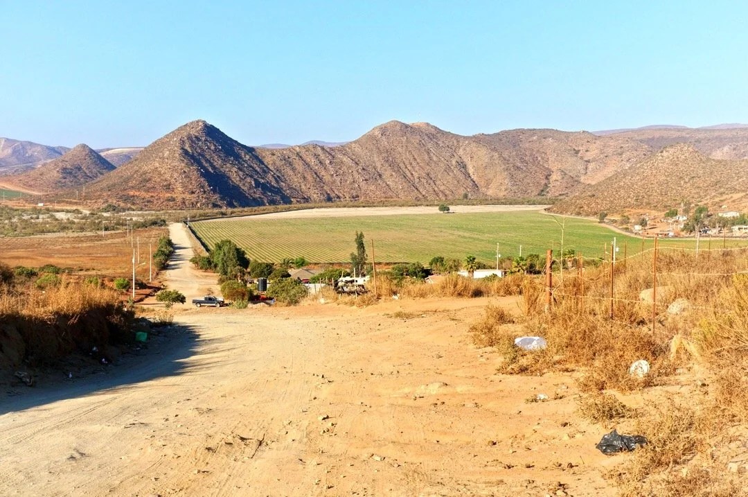
    “Colonet to Vicente Guerrero”.Sitting in my hotel room in Vicente Guerrero, Baja, Mexico, I’m suddenly struck by the different sounds, and more… Here, the sound of trucks whizzing by streams through the window. The sound of a saw whirring from nearby construction competes with the sound of traffic. The sounds are different here, in this big town, on MEX-1. Even in Tecate, roosters woke the day. Every town has had a chorus of barking dogs, children playing, roosters crowing (all day), music blasting from somewhere nearby, so many vibrant sounds. And yet, even here, in a good size town, on the busiest highway in Baja, there is little pavement. MEX-1 is paved, but very few other streets are… The dirt streets are lined with eateries, coffee shops, little stores, and banks, then houses and schools and churches. Just a few blocks further, the sounds of the city changes to the sounds of blowing wind, water pumps, and farm workers in agricultural fields. And further still, away from town, away from the agriculture, I rode for days through one of the quietest landscapes I’ve been. There were signs of life: two-track roads, a fire ring from an old camp, and a bit of garbage strewn about… and yet I felt so far from anything. Out there, the world just disappears. It’s an odd place to be, when the moment strikes, and I realize I am in the middle of nowhere, in a foreign country, just tootling along on my bike. And there’s nowhere else I desire be…_____We made a few stops, leaving Colonet. I’m still sore from climbing Picacho del Diablo, but the bike feels good on my muscles, like long slow stretches with every turn of the pedal. Near the edge of town I remind Neon of the dogs that chased us the last time we passed there. He slows to let me get ahead so I can ride in front. The dogs always run out in the street when the first person passes, making it easier to gang up on the second rider. The dogs aren’t there this time, but two colorful roosters with big plumes are roaming about. Music is playing across the street. A couple walks holding hands. Three boys are hanging out. Some garbage blows around as a big truck speeds down the highway; it lands and gets caught in the weeds on the side of the road. I’m still getting used to all the garbage. No one seems to mind it, but it’s everywhere, in every town we’ve been so far, and deep into the back roads too. We turn onto a dirt road, passing a few ranches, and then farms and more agriculture. We turn again at a little town, Ejido Benito Juarez. It’s a cute little town, nestled in a large valley, surrounded by mountains and bustling farms. We ride a little past town and find a place to camp in some tall wispy bushes, between irrigation pipes. The sand is soft. The ocean breeze brings misty clouds as the sun goes down. I can feel the dew forming on my sleeping bag. We both fall asleep before it even gets dark. I wake in the night, hot. I can’t see the stars now the clouds are so thick. And the mist too, is so thick, it almost feels like tiny rain drops hitting my face. I wake near dawn, to bright truck lights on the nearby road. I can see a little sky through the clouds, and my sleeping bag is almost dry again. The day starts off with easy riding through the valley. The air is cool, and the clouds break as the sun rises higher. We turn into the mountains. Our route climbs, up and down, and up. My leg muscles still sore and tired, I push my bike up the steep hills. Around three in the afternoon I announce I’m ready for wine, and I’m all done biking for the day. We find an opening nestled in some short trees. The clouds roll in again with the setting sun, dew forms making my sleeping bag wet. I wake again in the night, hot. And by morning my bag is almost dry again. My muscles are still sore and I wonder when the riding might turn a little easier. The roads are eroded, and steep, most of the way to Rancho El Coyote, a place we’d heard a lot about, and was recommended. We stop for water, and hoping for a meal. A lady escorts us into the office kitchen and shows us where to get water. She informs us that meals require a room reservation. I’m not sure if I’m disappointed, but I had heard a lot about this place. The riding gets easier for a while, until we come to another ranch, Rancho Meling. We ride up to a gate. Neon is just about to get off his bike, when a guy comes out of a barn, smiling. He opens the gate for us, and asks about our bike trip, where we started, and where we’re heading to. He points ahead to the roads, directing us to the right. The roads become steeper, and more eroded in parts. I’m feeling powerful pushing my bike up the first few gnarly, steep, hills, singing things like “up, up, and away, in my beautiful balloon.” But after a few more steep ups–so steep that I can’t just push my bike, I have to take a small step, then push my bike a little forward, with all the might of my whole body, a few inches, and then lock the brake while I take another step, being careful to claim good footing so I don’t slip–my attitude slowly slips to… “why am I doing this. We’d be there already if we took the highway.” I argue with myself for a few minutes, yelling at the next few steep hills. And then announce again, that I’m exhausted, and we’re camping at the next flat spot we see. There are several more steep hills I have to push my bike up before we find a place to camp. Somewhere along one of them, my mood softens, and I remember that this is exactly what I want to be doing right now, it’s just a tough stretch to pull off while I’m still sore from climbing Picacho del Diablo. And even that doesn’t matter. This is what I enjoy. Pushing myself, again and again. And sometimes I break, and that’s part of it. Learning what brings me to that point, and reminding myself that there’s nowhere else I’d rather be, than “here now”, an animal, free and wild and sweaty and sore and yelling at the wind and smiling at the sun. We set up camp atop a small pass. The clouds roll in again. I wake in the night, hot, my sleeping bag wet with dew. I wake again later, stars over head, and my sleeping bag dry. By morning the clouds roll back in and we begin a long difficult descent down to Vicente Guerrero, and I’m happy and singing as I walk down the hardest parts. I catch up to Neon, pushing his bike through some deep sand in a wash. He says, “this sucks, maybe we should have taken the other road.” I say, “Nah, then we’d have missed this cool canyon. And this is why we’re here. To see all of this… and “to be here now”, doing just this.” _____________________You can sign up to receive The Redheaded Nomad’s blog posts in your email inbox; sign up at the bottom of any page on my website: theredheadednomad.comYou can also follow me on Instagram at: instagram.com/theredheadednomadand on Facebook at: facebook.com/redheadednomad_____________________Farmland outside of Colonet…_____________________The town of Benito Juarez, nestled in the valley around the mountains and agricultural fields…_____________________A “new to me” cactus…_____________________Early morning misty clouds_____________________ Sunset, west of Rancho El Coyote…_____________________On top of the world…_____________________Neon walking his bike down a steep hill, he turns up me and says, “I think this one is a rappel.”_____________________Recent burn area with fall color…_____________________Rancho El Coyote…__________________________________________Neon pushing his bike up an easy steep hill…_____________________All smiles after a good night’s sleep….__________________________________________Riding through a storybook; puffy clouds ahead, windmill to the left, vineyards to the right…_____________________Out on the horizon the ocean comes back into view, after several days of riding through the mountains…_____________________Starting the descent down to Vicente Guerrero. This part was still rideable…_____________________Cool graffiti on an old building in Vicente Guerrero…_____________________Hotel California !!_____________________After 1500+ km across AZ, CA, and south through Baja, we decided the bikes could use some love, so we left them at the Baja Divide’s best bike shop, Fass Bike, for a little extra TLC…_________Walking back to our hotel after leaving our bikes at the bike shop. That’s MEX-1 on the right, two horses ahead of us on the dirt access on the side of highway.________

  • BAJA DIVIDE 3: Side trip to Picacho del Diablo

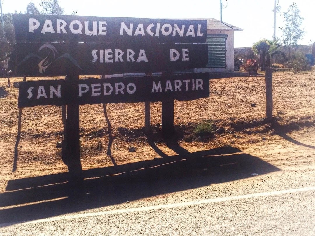
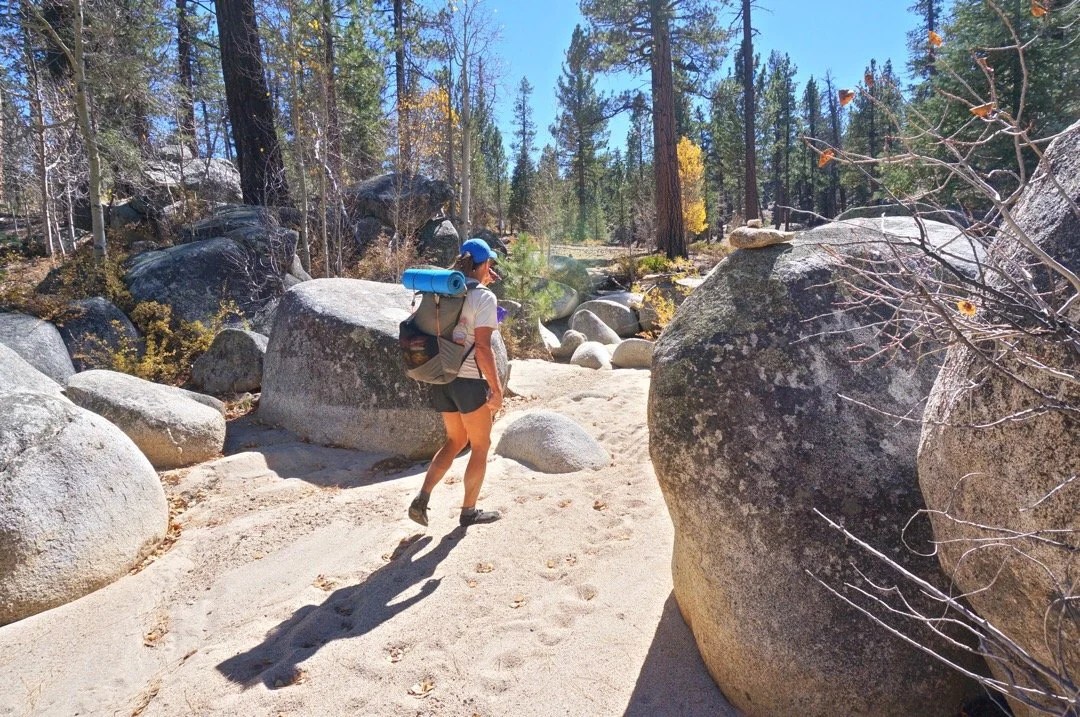
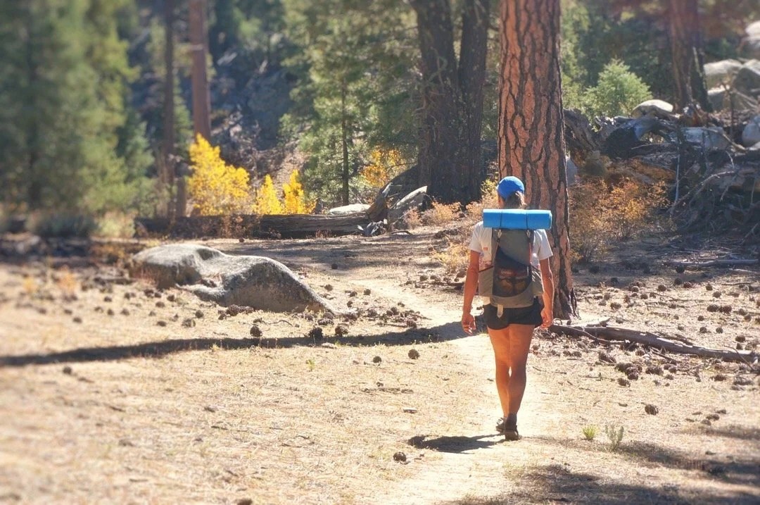
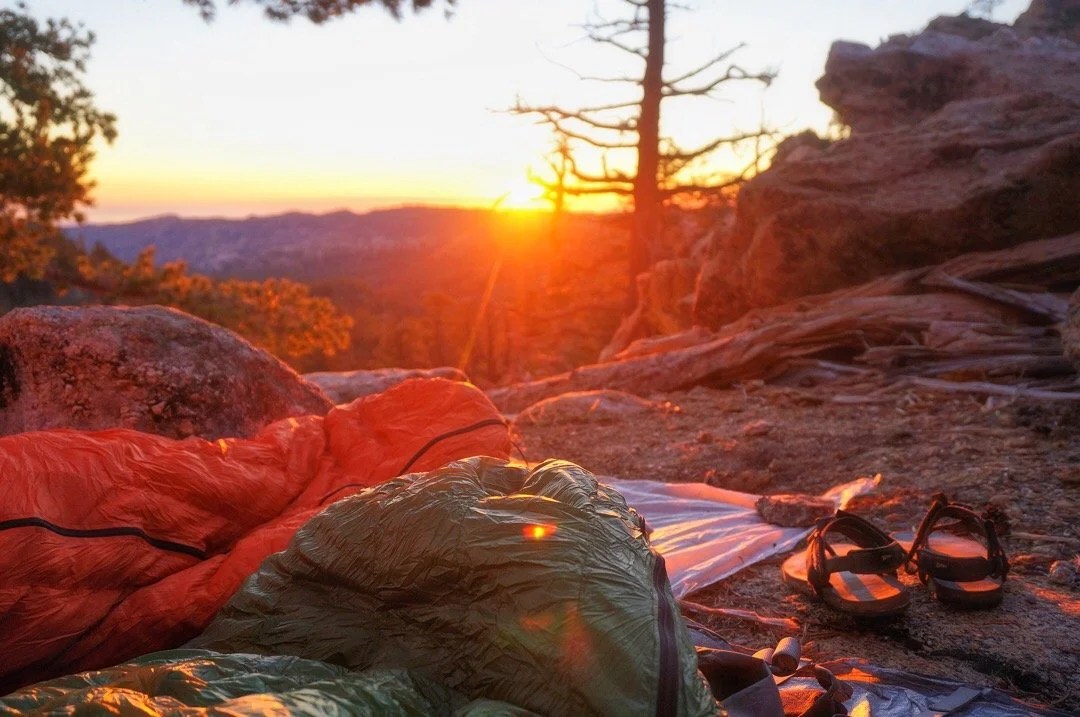
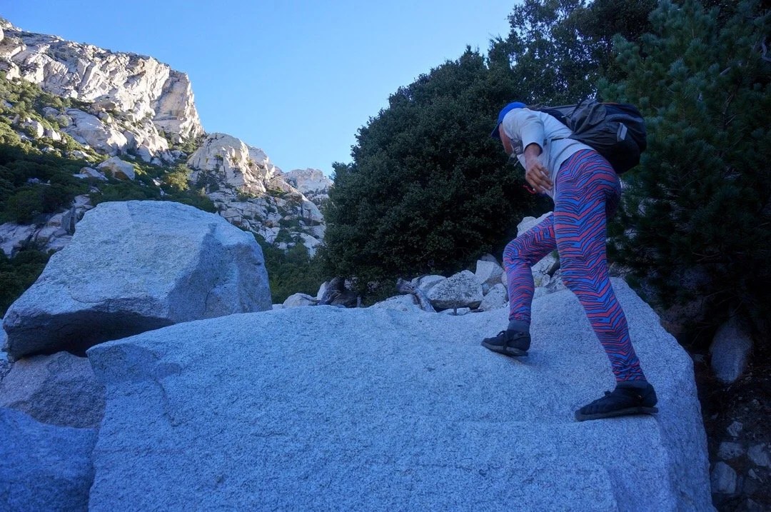
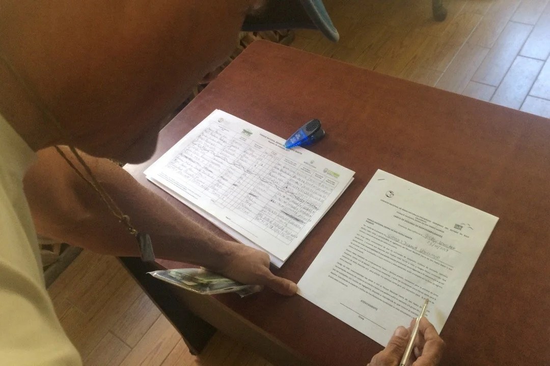
    Pedaling my bicycle for five weeks and fourteen hundred kilometers, up hills, across deserts, through sand, over rocks, and on train tracks, has defined my leg muscles more than thousands of miles of thru-hiking ever did. So when we made plans to climb Picacho del Diablo, the state highpoint of Baja California Norte (3095), a very rugged, long climb, I thought it was going to be an awesome hike, and it was …but what I forgot is that we weren’t going to Parque National Sierra de San Pedro Mártir to go on a hike, we were going there to climb a mountain. _____________________Arriving in Colonet, a bustling little town on the Baja Divide, we made plans to climb Picacho del Diablo. Neon organized a ride for us with the hotel (where we were staying) manager’s son. We left our bikes at the hotel for safekeeping, and packed our backpacks for a mountain adventure. We stopped to pay the climbing fee at the park entrance. The park guard asked to see our GPS and our map. He asked about our mountaineering experience and impressed upon us what a challenging climb awaited us. We signed into the log book, and were also required to fill out forms with all our information, complete with whom to contact in case of emergency, and then were told to stop back in on our way out so they know that we made it safely. Neon turns to me and says, “I think it’s going to be a good mountain.” Our ride dropped us off at the trailhead, and we all agreed on a time that he would pick us up, four days later. We say goodbye and head down a wash in route to Cerro Botella Azul (the second highest peak in Baja) and Picacho del Diablo (the highest peak in Baja). I feel a little wobbly without my trekking poles, but my pack is light and my legs strong. The landscape is open with tall pine trees and large boulders. The boulders slowly change to larger rock outcroppings, with manzanita and scrub oak intermixed between the pines. We stop for a lunch break and I turn to Neon and say, “soy fria”, thinking I’m saying “I am cold”. He looks at me and says, “I think you mean “tengo frio.” What’s tengo again, I ask. It means “I have”, he replies. And why frìo instead of frìa? Well, because you’re using “cold” like a noun, and “frìa” is an adjective; it’s a modifier. “So, in Spanish, I say “I have cold”, to mean I am cold; that sounds like I’m saying I’m sick, like I have a cold. It’s going to take a long time before I can make a sentence in Spanish without sounding like an idiot”, I say. I practice pretend conversations in Spanish as we continue walking. The hike to Botella Azul saddle is a beautiful walk in the woods that lands us on a high ridge overlooking mountains that extend down to the desert and the Pacific Ocean to the west, Cañon Diablo to the north, Picacho del Diablo to the East, and Botella Azul to the south. We set up camp a short scramble up some rocks and watch the sun set orange and red, glowing for at least an hour over the ocean. After a lazy morning we climb up Cerro Botella Azul, a short hike from the saddle, then take a “shortcut” down, which I wouldn’t recommend, to connect back up with the climber’s trail down into Cañon Diablo. The climb of Picacho del Diablo requires a ~3000 foot descent into Cañon Diablo, with hours of steep boulders and a pretty intense 4th class down climb, to get to summit base camp, Campo Noche. The biome changes as we descend into Cañon Diablo. There are huge ferns, cedars, other needly trees, little waterfalls, and pools of clear, almost tropical blue water. We arrive at Campo Noche early in the afternoon, drink wine, eat burritos (always burritos in Baja), and review our route. Near dawn I wake to a loud noise. In my sleepiness I first think it’s Neon, coughing, then wake with more of a start, thinking no, that was a rock that got knocked over. I turn, and whisper, “was that you.” Neon, awake, says “No.” I sit up quickly, struggling to free my arms, but I have the draw cord tightened down at the top of my sleeping bag. I finally break free, grab my flashlight and swing it around into the darkness. There are a thousand little rock eyes staring back at me (my light reflecting off the mica in the rock). I shine my light for another minute, but there are no animal eyes glowing in the darkness. “I’m so sore from yesterday” I say to Neon. “I’m pretty sore too,” Neon says. I settle back into my bag and start to doze off when I hear something like an animal chortle, almost like it’s laughing at me. I turn again, and say, “did you hear that?” Neon says “Yes”. I sit up and shine my light again, nothing. There are known to be ringtail cats here so we assume that’s what it might have been. Unable to fall back asleep, and near dawn, we decide to start our morning to get an early start for summit day. The climb from Campo Noche, and out of Cañon Diablo, is a brutal ~3,800 foot climb, over boulders, talus, and scree, with extended sections of fourth class. The climb starts right out of camp heading up “Night Wash”. According to one trip report I read, Night Wash was named by a group of UCLA students that descended down the wash after dark. We have second breakfast on a ridge at the top of Night Wash, then cross over and drop into “Slot Wash.” Here is where the route finding gets even more tricky. We were making really good time when we hit a dead end in the wash, blocked off by a group of twenty and thirty foot, building size, boulders. Where was the last cairn, I ask Neon. Just back there, he responds. We look around and then decide to head up a slope to go around the boulders. We push through some trees, over some scree, and pop out into the wash, or so we thought. We head up and up. It gets steeper with a lot of loose talus. This doesn’t feel right, Neon says. We haven’t seen a cairn since back at those huge boulders, I say. It takes a few minutes to let go of our upward progress, but we descend back down the wash, faster than we went up, but still losing an hour and a half of our day. All the way back down, where we popped out of the trees, I see a small cairn through the trees on the other side of the wash. We go through the trees and find our self on top of the building size boulders. We had been heading up a different wash! Now we’re in a time crunch. We climb up until the wash gets even more narrow, crossing over small waterfalls, under trees, and over boulders, retracing our steps when cairns lead us to a dead end, and finally reaching the friction slabs we’d read about in several trip reports.After the friction slabs we follow really good cairns up steep talus and scree. Neon is ahead of me, saying, I see a cairn, oh here’s another cairn, and there’s another. This goes on for a while. Now that’s what I like to see, Neon says. “Like a finely bolted route”, I reply. A few minutes later the cairns just sort of stop. I look up and ask, is that “Wall Street?” (the final approach to the summit). It doesn’t quite look like the photos, and it looks like hard fourth class, maybe even some fifth class climbing. We’re high enough now that our GPS is working again and we can see that we’re a little over from where our waypoints say we should be. We head back down, then traverse over to where our GPS says we should be, and then back up on the other side of a rock fin. We didn’t find many cairns, but we climbed up to the bottom of, what we recognized from photos, “Wall Street”, the final approach to the summit. It had a little bit of everything: boulders, talus, scree, friction slabs, and solid fourth class climbing. It seemed like it was going to go on forever when the summit block finally came into view. We climbed up on the biggest boulder on the summit, looking at the Sea of Cortez to the east, and the Pacific Ocean to the west. We took fifteen minutes to sign the register, take a few photos, and cram a bit of food in our starving bellies, before heading back down the mountain. It was 3:30 pm at this point and we had no time for getting off route. The way down Slot Wash went fast, without incident. It started getting dark just as we passed the last of the really tricky parts.We finally pulled out our headlamps, finding so many cairns in the dark that it seemed like they just led us in circles for hours, and we still hadn’t found the top of Night Wash. In the dark, everything looked familiar, and at the same time like we’d never been there before. Exhausted, and making zero forward progress, we finally decided to stop and bivy on a soft patch of sand. I put on all of my clothes and my ultrasil rain gear, pulled the foam pad out of the back of my backpack to lay on, nestled my legs inside my backpack, and laid my head down on my food sack. “The stars are so bright and pretty. I hope a ringtail cat doesn’t get into the food I left down at Campo Noche, or use my sleeping bag as a nest.” I say. Neon reads to me for a few minutes. We spend the rest of the night shivering until dawn at the bottom of Slot wash. I wake, teeth chattering, and say, “It’s light. Let’s go.” I try to stand, “oh man, I’m not sure I can even get up. I don’t think I’ve ever been this sore.” We stumble around for a few minutes, packing up our stuff, and then retrace a few cairns before realizing we’d camped almost right at the top of Night Wash. We rush (stiffly) back down to Campo Noche, grab the rest of our stuff, then head back out of the canyon, racing as fast as we can back to the trailhead parking lot to meet our ride by 4:00 pm. We were two hours late, but our ride was still there, smiling to greet us, with his wife and his little girl, AND they saved us leftovers from their picnic. We check back in at the park office, and two hours later we are transported back to our hotel. I look at my bike, hardly able to move at this point, and say “there’s no way I can ride that thing tomorrow.” _____________________You can sign up to receive The Redheaded Nomad’s blog posts in your email inbox; sign up at the bottom of any page on my website: theredheadednomad.comYou can also follow me on Instagramd @theredheadednomad and on Facebook @redheadednomad_____________________Driving to the park I was struck by the glowing pink rosary and cross swinging from the reaview mirror.__________________________________________The park office required us to fill out forms before climbing Picach del Diablo, complete with whom to contact in case of emergency. _____________________The trailhead…_____________________…and off we go_____________________Walking through the tall pines…_____________________The rock formations in the park reminded me of places I’ve been in some parts of the Sierras in California and some of the high mountains in southern Arizona. _____________________These plants were so tiny, but they had amazing flowers._____________________Sunset from Botella Azul saddle… These surreal moments always remind me that “this” is what I love most …just being an animal in nature, alive and part of everything. They bring to mind the line from a D.H. Lawrence poem, “I never saw a wild thing sorry for itself.” _____________________The view from Cerro Botella Azul Summit…_____________________Cerro Botella Azul Summit…_____________________View of Picacho del Diablo from Botella Azul Saddle…_____________________Looking down into Cañon Diablo…_____________________Starting down into Cañon Diablo. The entire descent was very steep, mixed between loose scree, talus, huge boulders, and one intense fourth class down climb._____________________Deeper in the canyon the plant life changed. These huge ferns were a surprise I wasn’t expecting…_____________________Cañon Diablo was filled with lovely little water falls and pools of blue water…_____________________Heading up Night Wash…._____________________Early morning light in Slot Wash…_____________________Looking up at Picach del Diablo (just out of view behind the tallest point). The route goes between the two dihedrals on the right, then heads back left up to the summit._____________________Cool rocks in the canyon…_____________________Heading up in the narrows of Slot Wash…_____________________Starting up the Friction Slabs…_____________________Climbing up Wall Street, the final approach to the summit…_____________________Looking back down at Wall Street…_____________________Heading up the summit block…_____________________The summit of Picacho del Diablo!_____________________Heading back down the lower part of Wall Street…_____________________The next day at our hotel in Colonet it all just seemed like a dream, a very sore and tired dream…_____________________
  • Baja Divide 2: SoY lisTA

    Baja Divide 2: SoY lisTA

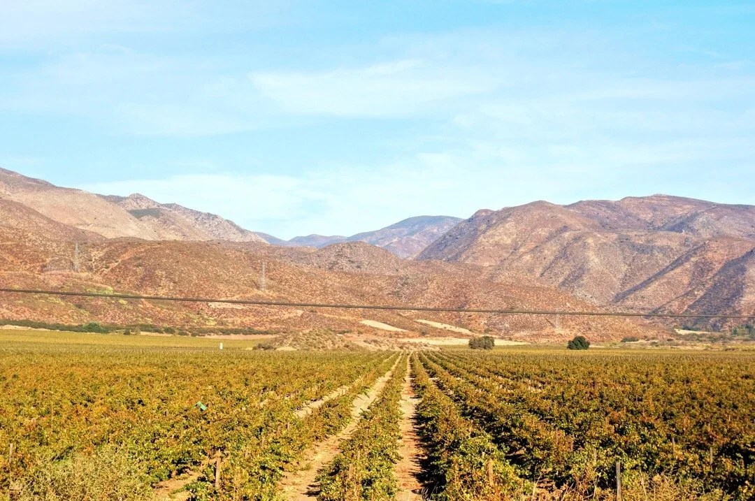
    “Ojos Negros to Colonet.”The ride out of Ojos Negros crosses MEX-3, then follows a good dirt road into the mountains. There are small ranches, but mostly open country. The landscape feels familiar to me. We’ll see the ocean tomorrow, I say to Neon. We stop for a late lunch in the shade of a tree. Things are beginning to feel natural again. We ride a little further, passing a sign for “Rancho Tres Hermanos.” Is that “three brothers ranch,” I ask Neon. He says yes, then looks at the map. Let’s camp soon, he says. “Ok, maybe just over that rise so we can watch the sunset,” I reply. We pull off on a rise, push our bikes through the bushes, and up into a few large boulders. It’s so pretty here, I say. I love these boulders and those big green bushes. We chatter for a while. I’m feeling good. The sun sets in pink ripples over the rocky hillside.The next day there is a little more up, then some gentle down. I catch up to Neon. We consult our maps. Lista, he says. “SoYY, lisTA!”, I say, exuberantly, raising my arms around my head in a u-shape, flexing my muscles to look strong (Soy lista = I am ready, in English). He replies, “you ARE feeling more in person.” He smiles, and we laugh. The road is quiet today, not much traffic. We pass a few ranches and farms, but mostly empty land. We reach the crest of the mountains, where we have our first view of the Pacific Ocean. The horizon is cloudy. I try to imagine the ocean in the clouds. “Lista?”, I ask Neon. He looks at me and says, “listo.” Oh, right, I ask you with an “o” because you are a boy. “Listo?”, I say. “Ci”, Listo!”, he says. We ride down the other side of the ridge. The road is very eroded, with deep ruts and big rocks. I walk my bike down the hill for a while. We drop a lot of elevation. The road gets more sandy, and we drop into a big valley where there are large fields full of zucchini plants. I imagine sautéing them with olive oil and garlic. I think I am hungry. At the edge of Uruapan, two large dogs run out in the street. Neon passes by them. The biggest dog chases Neon’s feet, almost close enough to nip at them. Its bark is ferocious. Maybe this isn’t the dog to stop and talk friendly to. It starts running at me. I yell “NO!” at it, and then again, pointing my finger at it and looking it square in the eye. It stops, blinks a few times, looks around, and watches me pass. Some of these dogs scare me. I catch up to Neon and tell him about the huge stonecrop ground cover that was on the hillsides as we came into town. We ride past a little boy, he smiles. Neon is ahead of me. I hear footsteps behind me. It’s the little boy. He runs past me and grins a big smile. I think he is happy that he is running faster than the lady on the bike is pedaling up the hill. He has good form, landing more on the balls of his feet, instead of on his heels. Neon stops to talk to a man in the street, asking where Agua Termales (hot springs) are located. They chat for awhile, about our bicycles, our ride, and about Arizona. The man points down the road where we should turn. We arrive at the Agua Termales, hungry and sweaty. They have a snack bar. I think we bought one of everything, before settling in for a long soak in a hot mineral water bath.The afternoon passes quickly, and we debate about trying to find a place to stay, or to resupply and ride late to get out of town. We stop at a store for more food. A man on the street sells us local grapes (uvas). This valley is a major wine region in Baja. We stop at another little shop to buy wine. The guy pulls out a plastic jug and pours some wine into a little cup for us to taste. It’s good. There are bottles of wine on the shelf, but we ask if he can fill our canteens from the jug. We leave with 2 1/2 liters between the two of us, plenty of wine to get us to our next destination, and a little extra for a night on the beach.We ride out of Uruapan, heading south on MEX-1 for several kilometers. There is a long uphill, and a wide shoulder, but slow vehicles also use the shoulder in Baja. A bus passes too closely and I yell, “chinquinta pendejo” at it. I know what pendejo means (anything from calling someone a pubic hair to a list of other bad names), but what is chinquinta, I wonder. I ride up to Neon and ask. He says, well cincuenta is fifty in Spanish, but cinquanta is fifty in Italian (the Italian “c” pronounces with a “ch” sound). I start giggling. He looks at me funny. I tell him about the bus driver that passed me too closely, and that I hollered at the driver that he was fifty pubic hairs. I start giggling uncontrollably. There is a long downhill to Santo Tomas. We pass a sign the reads “Antigua Ruta del Vino”. I think that means something like, historical, or ancient, wine route. There are large vineyards on both sides of the highway stretching all the way to the far mountainsides. This area, between Uruapan and Santo Tomas, reminds me a little bit of Italy, with its vineyards, fields of leafy green vegetables, signs for local wine and cheese (and organic chicken too). Food culture is a big interest for me.We ride to the southern end of Santo Tomas, then turn onto a dirt road that heads up a steep hill. We find a place to camp down a smaller road. There are different bird sounds here; they sound like they’re giggling. And other birds too, that sound like quail, I think. The sun sets, and I’m tired, but I can’t sleep. There are little footsteps in the bushes, or maybe something is digging, I’m not sure. I keep imagining waking up staring eye to eye with a ringtail cat or a coatimundi. And with the paw prints we’ve seen the last few days, they are large here. I finally pass out, exhausted, unable to keep my eyes open. The morning comes too early for me. But I’m excited to ride down to the ocean. We want to camp on the beach. A long steep descent brings us to the ocean. We head toward the first beach we see. Neon goes in. It’s too cold for me, but I walk in a few inches. The waves are strong, pulling the sand out from under my feet when they recede. There’s no place to camp here so we ride to the next beach area. We nestle in between miniature sand dunes. A guy passes and asks if we want firewood. The sun sets with pink ripples again, and orange waves too. The next morning we arrive in Erendira. Another Baja Divide cyclist rides up while we’re at the store. He’s from Barcelona, Spain. We decide to ride together for the day, parting ways in Colonet. We find a motel in the neighboring town of Enero and spend the whole next day making plans to climb the nearby state highpoint of Baja California North._____________________You can sign up to receive The Redheaded Nomad’s blog posts in your email inbox; sign up at the bottom of any page on my website: theredheadednomad.comYou can also follow me on Instagram @theredheadednomad and on Facebook @redheadednomad____________________After Ojos Negros the landscape got dry and more barren…_____________More greenery, and tall oaks, down in the valleys…__________Pink, ripply, sunset after Ojos Negros….._________________And a beautiful sunrise the next morning. Baja Divide cowboy camping at its finest…._____________Continuing towards Uruapan….______________Near the crest of the mountains the road got really rough. The descent down the other side was worse.___________Our first view of the Pacific Ocean. The horizon was cloudy so the ocean wasn’t very visible.___________Aesthetically appealing farm nestled in the mountains…_____________More farmland as we get closer to Uruapan…._______________Agua Termales in Uruapan. Bathhouse & mineral bath…___________Buying local wine in Uruapan. They sold local cheese as well.__________Vineyards near Santo Tomas on MEX-1___________Beautiful ranch and vineyards in the mountains outside of Santo Tomas…___________We bought local uvas (grapes) from a guy on the street in Uruapan. They were delicious, and pretty too…_________Toasting the sunset with wine from Uruapan….________Riding down to the ocean. After all the desert riding we’ve done this last month, we were super excited about finally reaching the ocean.________First beach…._____Beach camp….__________I love that dreamy quality of early morning light….______Riding into the outskirts of Erendira. We didn’t eat or stay here, but I love the name of the bar (Barefoot Bar).__________Agricultural fields, leaving Erendira…__________Riding along the coast after Erendira. Michael joined us for the ride to Colonet.___________We had some really fun downhill whoop-de-doos after Erendira, but they were usually followed with a hike-a-bike up hill._________Local eatery in Colonet… vegetarian, but not vegan, the Queso Enchanladas were delicious. I’m  obviously failing on my vegan diet, as I’m finding it difficult to resist the local cheeses (and sweet breads too).